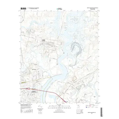
2017 Map of North Charleston
USGS Topo · Published 2017About this map
Cooper River and Goose Creek dominate this landscape, where the tides of the Lowcountry carve a intricate network of reaches and islands. The area shows a transition from the industrial and residential corridors of North Charleston and Hanahan to the expansive wetlands and tidal flats surrounding Big Island. Historical land use is evidenced by Yeamans Hall Plantation Cem and the numerous named ponds like Old Tenant Pond and Georgie Pond, which hint at former agricultural or estate boundaries. The river itself is meticulously detailed, showing navigational markers like Back Slack Reach and Slack Reach, alongside coastal features such as Snow Point and Woods Point. To the south, the development of Daniel Island and Deweys Hill sits adjacent to the meandering Filbin Creek, illustrating the modern footprint within this watery environment.
Find a feature on this map
173 named features on this map. Tap any name to fly to it.
Don’t see what you’re looking for? This feature index may not catch every label — zoom into the map to look around manually.
Map Details
Editions of this 2017 North Charleston Map
This is the sole edition of this map. No revisions or reprints were ever made.
Other maps of this area

1919 · Ladson
USGS Topo · 1:21,120

1919 · Johns Island
USGS Topo · 1:21,120

1919 · Summerville
USGS Topo · 1:48,000

1919 · Wando
USGS Topo · 1:21,120

1919 · Cordesville
USGS Topo · 1:48,000

1919 · Melgrove
USGS Topo · 1:21,120

1919 · Charleston
USGS Topo · 1:21,120

1919 · Fort Moultrie
USGS Topo · 1:21,120

1920 · Ravenels
USGS Topo · 1:62,500

1920 · Summerville
USGS Topo · 1:62,500