Old Maps of Wilder, South Carolina
Explore 11 old maps of Wilder, spanning from 1943 to today. These high-resolution historic maps reveal how streets, neighborhoods, landmarks, and natural features evolved over time — perfect for genealogy, metal detecting, research, and local history exploration.
What you can do with these maps:
- See how Wilder changed over time: Compare historical maps to modern-day views to trace roads, homesites, rail lines & more.
- View detailed metadata: Each map includes creators, publishers, year, scale, and archive source.
- Overlay maps with satellite & LiDAR: Visualize the past alongside modern tools to explore terrain & human change.
- Trusted historical sources: Maps sourced from the USGS, Library of Congress, and other archives.
- Access maps your way: View online, download high-res files, or order prints for personal or research use.
Start exploring old maps of Wilder to uncover forgotten places, hidden landmarks, and the deep history beneath your feet.
Wilder, SC maps
(11)- 1943 Map of Bonneau, 1964 Print
 1943 Bonneau1964 Print · USGSBerkeley County during the early 1940s shows a landscape of timber-driven growth and newly formed shorelines. Researchers can trace the Santee River Logging RR through the swamp or locate family sites like Gravel Hill Cem and St Stephens.2 unique versions available
 - 1949 Map of Georgetown, 1953 Print
 1949 Georgetown1953 Print · USGSThe South Carolina coast and North Carolina borderlands appear here in the mid-century, prior to the major modern development of the Grand Strand. Genealogists and historians can trace the rail networks of the Seaboard Air Line Railroad and locate coastal landmarks from Fort Caswell to McClellanville.
 - 1967 Map of Georgetown
 1967 Georgetown1967 Print · USGSThe South Carolina Lowcountry and Grand Strand meet in the late sixties, showcasing a coastal landscape transitioning from river-based industry to seaside tourism. Researchers can trace the Intracoastal Waterway past Georgetown or locate historical sites like Fort Fisher and Murrells Inlet.
 - 1974 Map of Georgetown, 1978 Print
 1974 Georgetown1978 Print · USGSThe Carolina coast and Pee Dee region are shown here in the mid-seventies, just as the Grand Strand was maturing into a premier destination. Researchers can trace the inland rail corridors of the Seaboard Coast Line Railroad or explore the coastal reaches of the Cape Romain National Wildlife Refuge and Myrtle Beach State Park.2 unique versions available
 - 1986 Map of Georgetown
 1986 Georgetown1986 Print · USGSThe South Carolina Lowcountry is captured here in the mid-1980s, centered on the historic port of Georgetown and its surrounding wetlands. Researchers can trace the river-fed economy and land patterns of Waccamaw Neck, Hampton Plantation State Park, and the timber-rich Francis Marion National Forest.2 unique versions available
 - 1990 Map of Bonneau
 1990 Bonneau1990 Print · USGSBerkeley County's lakefront and forest interior are captured here in the early 1990s as modern recreation meets traditional lowcountry landscapes. Trace the development of Bonneau Beach, the wetlands of Wadboo Swamp, and local landmarks like the Fish Hatchery.
 - 2011 Map of Bonneau, 2011 Print
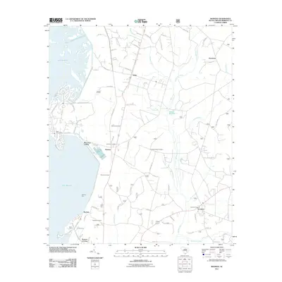 2011 Bonneau2011 Print · USGSThe eastern shores of Lake Moultrie and the deep lowcountry swamps of Berkeley County are captured here in the early twenty-first century. Researchers can trace local lineage through numerous sites like Mudlake Cemetery and Rehobeth Cemetery or locate the old Bonneau Fire Tower.
 - 2014 Map of Bonneau, 2014 Print
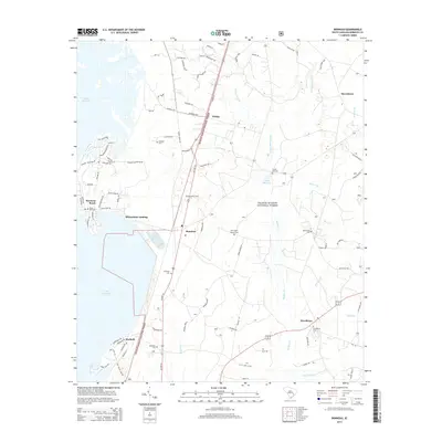 2014 Bonneau2014 Print · USGSCoastal South Carolina's lowcountry comes alive in this study of Berkeley County in the early twenty-first century. Genealogists can trace local roots through numerous sites like Black Oak Cem and Rehobeth Cem near settlements such as Bonneau and Macbeth.
 - 2017 Map of Bonneau, 2017 Print
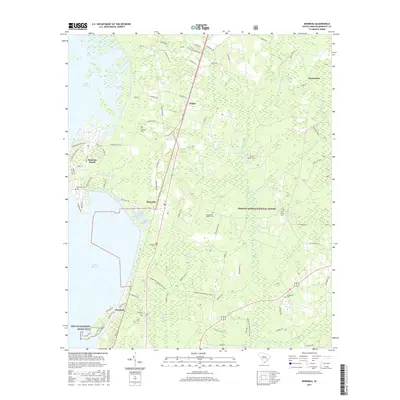 2017 Bonneau2017 Print · USGSBerkeley County lakefront and forest lands are detailed here in the late twenty-tens. Genealogists can trace family history through numerous burial grounds like Black Oak Cem and Rehobeth Cem near the Lake Moultrie shore.
 - 2020 Map of Bonneau, 2020 Print
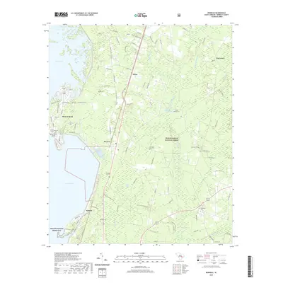 2020 Bonneau2020 Print · USGSThe eastern shores of Lake Moultrie and the dense timberlands of the Francis Marion National Forest meet in this Berkeley County study from 2020. Genealogists and local historians can trace burial grounds like Black Oak Cem and Providence Cem near the settlements of Bonneau and Macbeth.
 - 2024 Map of Bonneau, 2024 Print
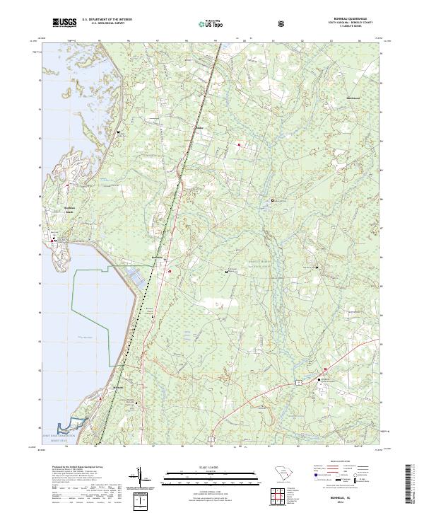 2024 Bonneau2024 Print · USGSBerkeley County's lakefront and forest lands are detailed in this recent survey, showing the expansion of settlements near the water's edge. Genealogists can trace family sites at Black Oak Cem, Oak Grove Cem, and the Bonneau Church Graveyard.
End of results
Showing maps 1-11 of 11
Top cities near Wilder
- Moncks Corner historical maps
- Lane historical maps
- Greeleyville historical maps
- Bonneau historical maps
Frequently asked questions
- What are the different types of historical maps available for Wilder?
- What is the oldest map of Wilder?
- Where can I purchase historical maps of Wilder for my home or office?
- Where can I download high-res historical maps of Wilder?
- Are there historical topographic maps available for Wilder?
- Is there historical aerial imagery available for Wilder?
- Where are historical maps of Wilder sourced from?