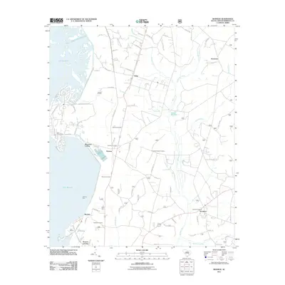
2011 Map of Bonneau
USGS Topo · Published 2011About this map
Lake Moultrie dominates the western landscape of this Berkeley County region, where the massive impoundment meets the established settlements of Bonneau and Macbeth. The coastline is defined by infrastructure and recreation, featuring the Jefferies Dam, the Canal Picnic Area, and Richardson Landing. This map reveals a complex hydrologic network where the reservoir's edge gives way to extensive wetlands, including Walker Swamp and Fox Swamp, which drain into meandering southern waterways like Wadboo Creek and Whiskinboo Creek.
Find a feature on this map
92 named features on this map. Tap any name to fly to it.
Don’t see what you’re looking for? This feature index may not catch every label — zoom into the map to look around manually.
Map Details
Editions of this 2011 Bonneau Map
This is the sole edition of this map. No revisions or reprints were ever made.
Other maps of this area

1919 · Summerville
USGS Topo · 1:48,000

1919 · Cordesville
USGS Topo · 1:48,000

1920 · Chicora
USGS Topo · 1:48,000

1920 · Summerville
USGS Topo · 1:62,500

1921 · Chicora
USGS Topo · 1:62,500

1943 · Chicora
USGS Topo · 1:62,500

1943 · Bonneau
USGS Topo · 1:62,500

1944 · Summerville
USGS Topo · 1:62,500

1948 · Cordesville
USGS Topo · 1:24,000

1948 · Bethera
USGS Topo · 1:24,000