
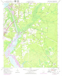
1948 Map of Cordesville
USGS Topo · Published 1968About this map
Wadboo Creek and the Tailrace Canal dominate this mid-century landscape where industrial engineering meets the Lowcountry swamp. The newly completed Pinopolis Dam and the southeastern edge of Lake Moultrie signify a dramatic change in local hydrology, redirecting water toward the Cooper River. To the east, the Francis Marion National Forest preserves a wilderness crisscrossed by old motorways and drainage branches like Bullhead Run and Wright Gully.
Find a feature on this map
41 named features on this map. Tap any name to fly to it.
Don’t see what you’re looking for? This feature index may not catch every label — zoom into the map to look around manually.
Map Details
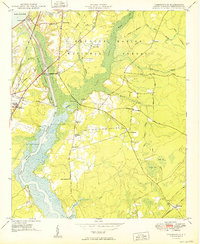
Editions of this 1948 Cordesville Map
2 editions found
Other maps of this area

1919 · Summerville
USGS Topo · 1:48,000

1919 · Cordesville
USGS Topo · 1:48,000

1920 · Chicora
USGS Topo · 1:48,000

1920 · Summerville
USGS Topo · 1:62,500

1921 · Chicora
USGS Topo · 1:62,500

1943 · Chicora
USGS Topo · 1:62,500

1943 · Bonneau
USGS Topo · 1:62,500

1944 · Summerville
USGS Topo · 1:62,500

1948 · Bethera
USGS Topo · 1:24,000
1949 · Cordesville
USGS Topo · 1:24,000