1900s (20th Century) Maps of Calhoun County, South Carolina
Explore 45 historic maps of Calhoun County from the 1900s (20th Century). These maps offer a rare glimpse into what life looked like during the 1900s — showing old roads, neighborhoods, homes, and landmarks that have changed or disappeared over time.
Whether you're researching your family's past, planning a metal detecting trip, or studying how Calhoun County's landscape evolved across the 1900s, these high-resolution maps are a powerful tool for exploring the history of this region.
- Focus on a specific era: All maps on this page are from the 1900s, giving you a focused view of this time period.
- See what’s changed: Compare century-old streets, trails, and buildings to today's modern landscape using overlays and satellite layers.
- Research with precision: Use these maps for genealogy, historical research, land use analysis, or educational projects.
- View, download, or print: Maps are fully viewable online in high resolution, and can be downloaded or printed for your own records.
Start exploring Calhoun County's history through authentic maps from the 1900s. This is your window into the past.
Calhoun County, SC maps
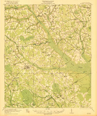
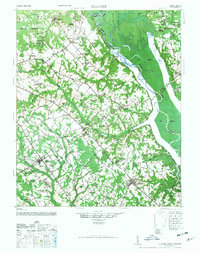
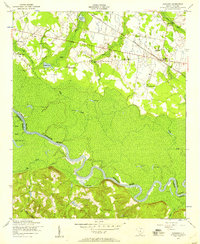
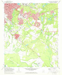
(45)- 1920 Map of Bowman
 1920 Bowman1920 Print · USGSCovers Calhoun County, including Bowman, Santee, and other nearby areas
 - 1921 Map of Bowman
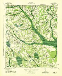
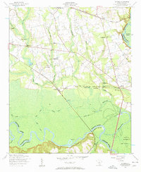
 1921 Bowman1921 Print · USGSCovers Calhoun County, including Bowman, Santee, and other nearby areas4 unique versions available
 - 1943 Map of Bowman
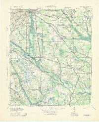
 1943 Bowman1943 Print · USGSCovers Calhoun County, including Bowman, Santee, and other nearby areas
 - 1943 Map of Orangeburg
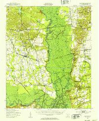
 1943 Orangeburg1943 Print · USGSCovers Calhoun County, including Orangeburg, Bowman, and other nearby areas
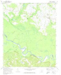
 - 1943 Map of Eastover, 1953 Print
 1943 Eastover1953 Print · USGSCovers Calhoun County, including Eastover, Wedgewood, and other nearby areas
 - 1944 Map of Edmund, 1966 Print
 1944 Edmund1966 Print · USGSCovers Calhoun County, including Columbia, Lexington, and other nearby areas
 - 1946 Map of Elloree
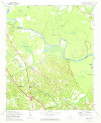
 1946 Elloree1946 Print · USGSCovers Calhoun County, including Elloree, Cameron, and other nearby areas2 unique versions available
 - 1946 Map of Woodford
 1946 Woodford1946 Print · USGSCovers Calhoun County, including Swansea, Pelion, and other nearby areas3 unique versions available
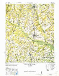
 - 1946 Map of St. Matthews
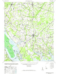
 1946 St. Matthews1946 Print · USGSCovers Calhoun County, including Orangeburg, Saint Matthews, and other nearby areas2 unique versions available
 - 1948 Map of Hopkins
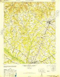
 1948 Hopkins1948 Print · USGSCovers Calhoun County, including Columbia, Bruner, and other nearby areas3 unique versions available
 - 1953 Map of Saylors Lake, 1957 Print
 1953 Saylors Lake1957 Print · USGSCovers Calhoun County, including Sandy Run, Oak Grove, and other nearby areas
 - 1953 Map of Fort Jackson South, 1957 Print
 1953 Fort Jackson South1957 Print · USGSCovers Calhoun County, including Columbia, Childs, and other nearby areas
 - 1953 Map of Gadsden, 1957 Print
 1953 Gadsden1957 Print · USGSCovers Calhoun County, including Weston, Gadsden, and other nearby areas
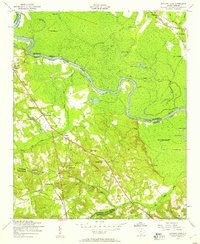
 - 1953 Map of Wateree, 1957 Print
 1953 Wateree1957 Print · USGSCovers Calhoun County, including Eastover, Wateree, and other nearby areas4 unique versions available
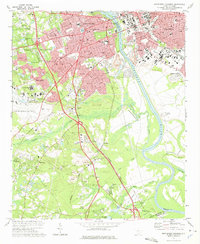
 - 1954 Map of Augusta
 1954 Augusta1954 Print · USGSCovers Calhoun County, including Augusta, Columbia, and other nearby areas
 - 1957 Map of Augusta, 1966 Print
 1957 Augusta1966 Print · USGSCovers Calhoun County, including Augusta, Columbia, and other nearby areas3 unique versions available
 - 1958 Map of Augusta
 1958 Augusta1958 Print · USGSCovers Calhoun County, including Augusta, Columbia, and other nearby areas
 - 1961 Map of Augusta
 1961 Augusta1961 Print · USGSCovers Calhoun County, including Augusta, Columbia, and other nearby areas2 unique versions available
 - 1962 Map of Augusta
 1962 Augusta1962 Print · USGSCovers Calhoun County, including Augusta, Columbia, and other nearby areas
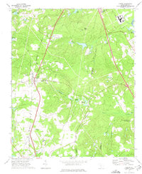
 - 1971 Map of Summerton
 1971 Summerton1971 Print · USGSCovers Calhoun County, including Summerton, Pinewood, and other nearby areas2 unique versions available
 - 1972 Map of Saylors Lake, 1973 Print
 1972 Saylors Lake1973 Print · USGSCovers Calhoun County, including Sandy Run, Oak Grove, and other nearby areas2 unique versions available
 - 1972 Map of Fort Jackson South, 1973 Print
 1972 Fort Jackson South1973 Print · USGSCovers Calhoun County, including Columbia, Childs, and other nearby areas3 unique versions available
 - 1972 Map of Gadsden, 1974 Print
 1972 Gadsden1974 Print · USGSCovers Calhoun County, including Weston, Gadsden, and other nearby areas3 unique versions available
 - 1972 Map of Southwest Columbia, 1975 Print
 1972 Southwest Columbia1975 Print · USGSCovers Calhoun County, including Columbia, West Columbia, and other nearby areas2 unique versions available
 - 1972 Map of Gaston, 1975 Print
 1972 Gaston1975 Print · USGSCovers Calhoun County, including Gaston, Swansea, and other nearby areas2 unique versions available
Showing maps 1-25 of 45
Top cities of Calhoun County
Frequently asked questions
- What are the different types of historical maps available for Calhoun County?
- What is the oldest map of Calhoun County?
- Where can I purchase historical maps of Calhoun County for my home or office?
- Where can I download high-res historical maps of Calhoun County?
- Are there historical topographic maps available for Calhoun County?
- Is there historical aerial imagery available for Calhoun County?
- Where are historical maps of Calhoun County sourced from?