2020s Maps of Calhoun County, South Carolina
Explore 37 historic maps of Calhoun County from the 2020s. These maps offer a rare glimpse into what life looked like during the 2020s — showing old roads, neighborhoods, homes, and landmarks that have changed or disappeared over time.
Whether you're researching your family's past, planning a metal detecting trip, or studying how Calhoun County's landscape evolved across the 2020s, these high-resolution maps are a powerful tool for exploring the history of this region.
- Focus on a specific era: All maps on this page are from the 2020s, giving you a focused view of this time period.
- See what’s changed: Compare century-old streets, trails, and buildings to today's modern landscape using overlays and satellite layers.
- Research with precision: Use these maps for genealogy, historical research, land use analysis, or educational projects.
- View, download, or print: Maps are fully viewable online in high resolution, and can be downloaded or printed for your own records.
Start exploring Calhoun County's history through authentic maps from the 2020s. This is your window into the past.
Calhoun County, SC maps
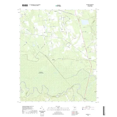
(37)- 2020 Map of Saylors Lake, 2020 Print
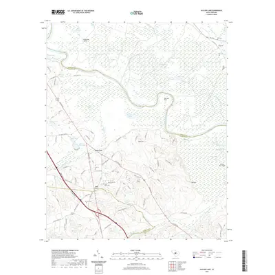 2020 Saylors Lake2020 Print · USGSCovers Calhoun County, including Sandy Run, Oak Grove, and other nearby areas
 - 2020 Map of Fort Jackson South, 2020 Print
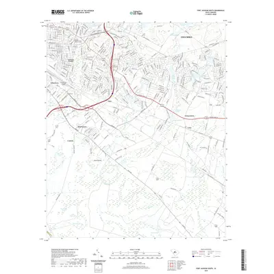 2020 Fort Jackson South2020 Print · USGSCovers Calhoun County, including Columbia, Burnside East, and other nearby areas
 - 2020 Map of Gadsden, 2020 Print
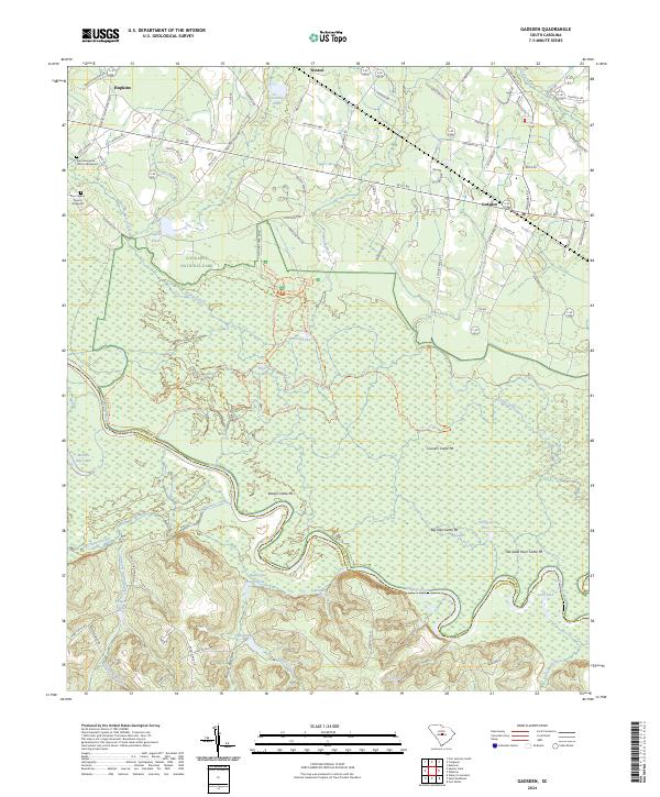
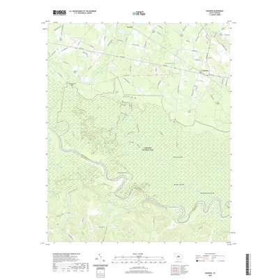 2020 Gadsden2020 Print · USGSCovers Calhoun County, including Gadsden, Weston, and other nearby areas
 - 2020 Map of Felderville, 2020 Print
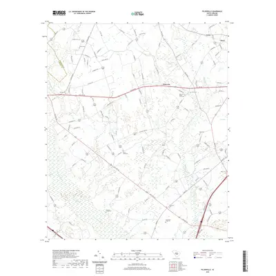 2020 Felderville2020 Print · USGSCovers Calhoun County, including Santee, Oaks Crossroads, and other nearby areas
 - 2020 Map of Wateree, 2020 Print
 2020 Wateree2020 Print · USGSCovers Calhoun County, including Eastover, Wateree, and other nearby areas
 - 2020 Map of Elloree, 2020 Print
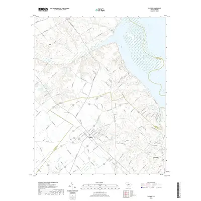 2020 Elloree2020 Print · USGSCovers Calhoun County, including Elloree, Tina, and other nearby areas
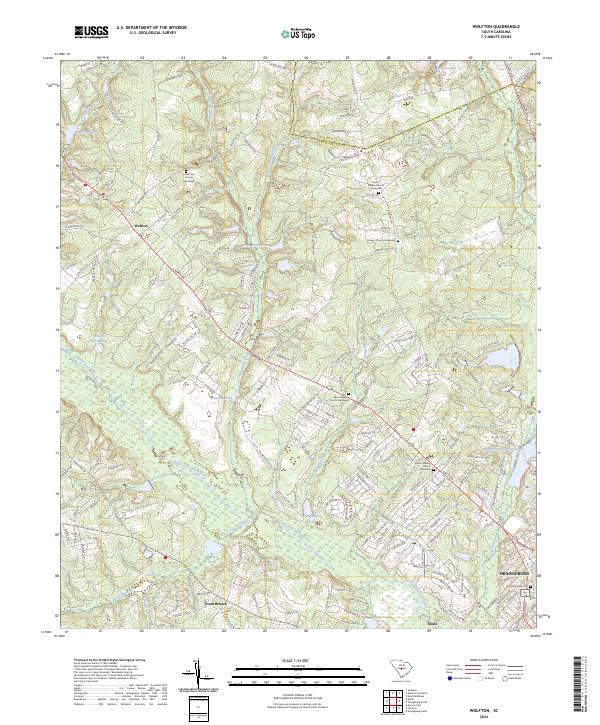
 - 2020 Map of Wolfton, 2020 Print
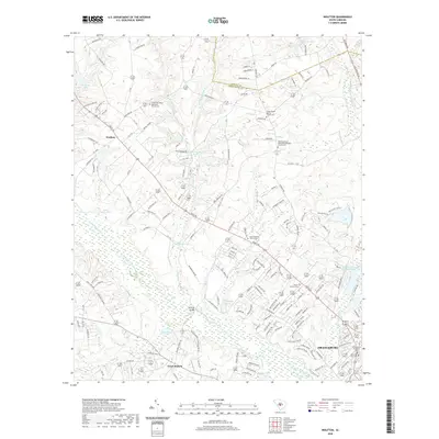 2020 Wolfton2020 Print · USGSCovers Calhoun County, including Orangeburg, Forest Lake Estates, and other nearby areas
 - 2020 Map of Indian Camp Branch, 2020 Print
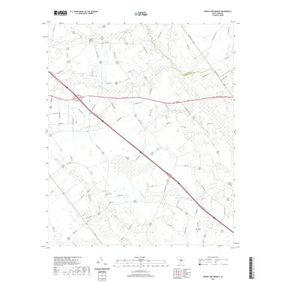 2020 Indian Camp Branch2020 Print · USGSCovers Calhoun County, including Orangeburg County, United States, and other nearby areas
 - 2020 Map of Cameron, 2020 Print
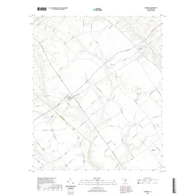 2020 Cameron2020 Print · USGSCovers Calhoun County, including Cameron, Creston, and other nearby areas
 - 2020 Map of Saint Matthews, 2020 Print
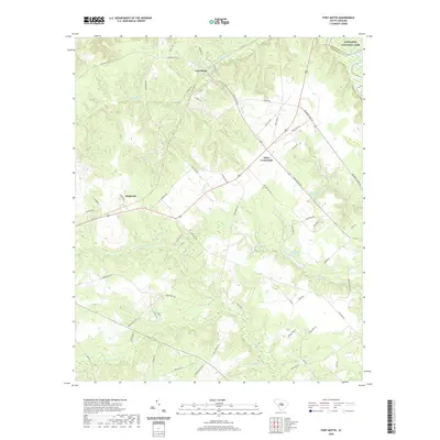
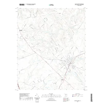 2020 Saint Matthews2020 Print · USGSCovers Calhoun County, including Saint Matthews, Totness, and other nearby areas
 - 2020 Map of Saint Paul, 2020 Print
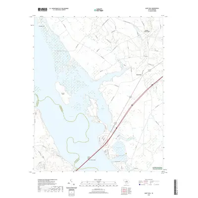 2020 Saint Paul2020 Print · USGSCovers Calhoun County, including Adams Landing, Saint Paul, and other nearby areas
 - 2020 Map of Orangeburg North, 2020 Print
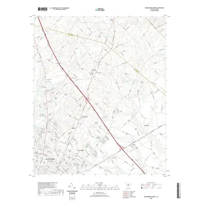 2020 Orangeburg North2020 Print · USGSCovers Calhoun County, including Orangeburg, Mackay Subdivision, and other nearby areas
 - 2020 Map of Fort Motte, 2020 Print
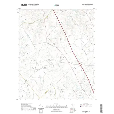
 2020 Fort Motte2020 Print · USGSCovers Calhoun County, including Wiles Crossroads, Fort Motte, and other nearby areas
 - 2020 Map of Staley Crossroads, 2020 Print
 2020 Staley Crossroads2020 Print · USGSCovers Calhoun County, including Staley Crossroads, Lexington County, and other nearby areas
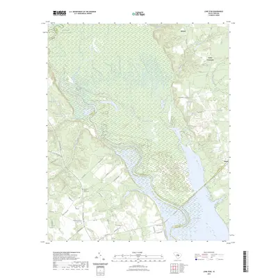
 - 2020 Map of Lone Star, 2020 Print
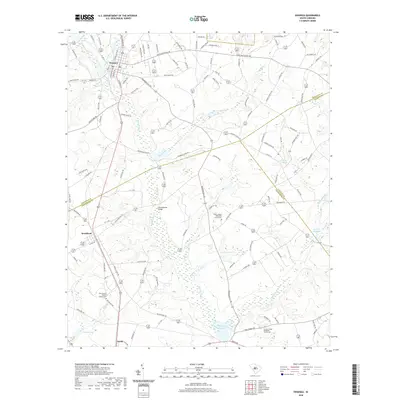
 2020 Lone Star2020 Print · USGSCovers Calhoun County, including Fulton Crossroads, Lone Star, and other nearby areas
 - 2020 Map of Southwest Columbia, 2020 Print
 2020 Southwest Columbia2020 Print · USGSCovers Calhoun County, including Columbia, West Columbia, and other nearby areas
 - 2020 Map of Swansea, 2020 Print
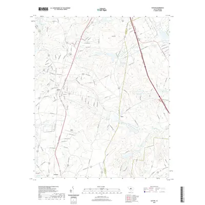
 2020 Swansea2020 Print · USGSCovers Calhoun County, including Swansea, North, and other nearby areas
 - 2020 Map of Gaston, 2020 Print
 2020 Gaston2020 Print · USGSCovers Calhoun County, including Gaston, Swansea, and other nearby areas
 - 2023 Map of Lone Star, 2023 Print
 2023 Lone Star2023 Print · USGSCovers Calhoun County, including Fulton Crossroads, Lone Star, and other nearby areas
 - 2024 Map of Saylors Lake, 2024 Print
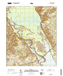
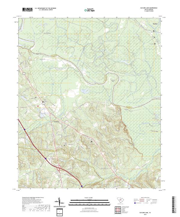 2024 Saylors Lake2024 Print · USGSRichland and Calhoun counties appear here in the early 2020s, dominated by the winding Congaree River and its surrounding wetlands. Genealogists can trace family roots through numerous burial sites including the Kaigler - Davis Cem, Mount Moriah Cem, and the Beulah Church Graveyard.
 - 2024 Map of Wolfton, 2024 Print
 2024 Wolfton2024 Print · USGSOrangeburg County in the modern era reveals a landscape defined by the winding North Fork Edisto River and its rural settlements. Genealogists can trace family names through several local landmarks, including the Mount Calvary Church Graveyard and Saint Stephen Church Graveyard.
 - 2024 Map of Gadsden, 2024 Print
 2024 Gadsden2024 Print · USGSRichland County's riverfront and the deep floodplains of the Congaree are meticulously detailed in this recent survey. Genealogists and historians can locate the Zion Pilgrim Church Graveyard or trace the unusual cattle mounds like Old Dead River Cattle Mt near the Congaree River.
 - 2024 Map of Indian Camp Branch, 2024 Print
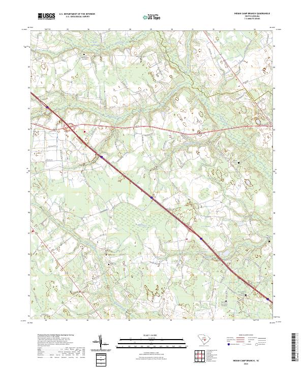 2024 Indian Camp Branch2024 Print · USGSThe rural wetlands of the South Carolina coastal plain are documented here at the intersection of Calhoun and Orangeburg counties. Researchers can trace historic family burial sites and rural congregations including Pineville Cem, Shiloh Cem, and Four Holes Church Graveyard.
 - 2024 Map of Southwest Columbia, 2024 Print
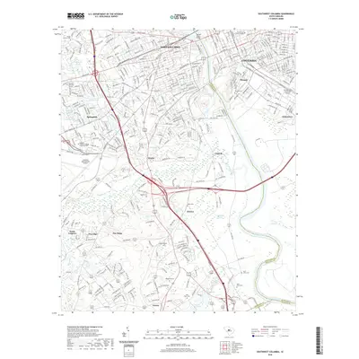
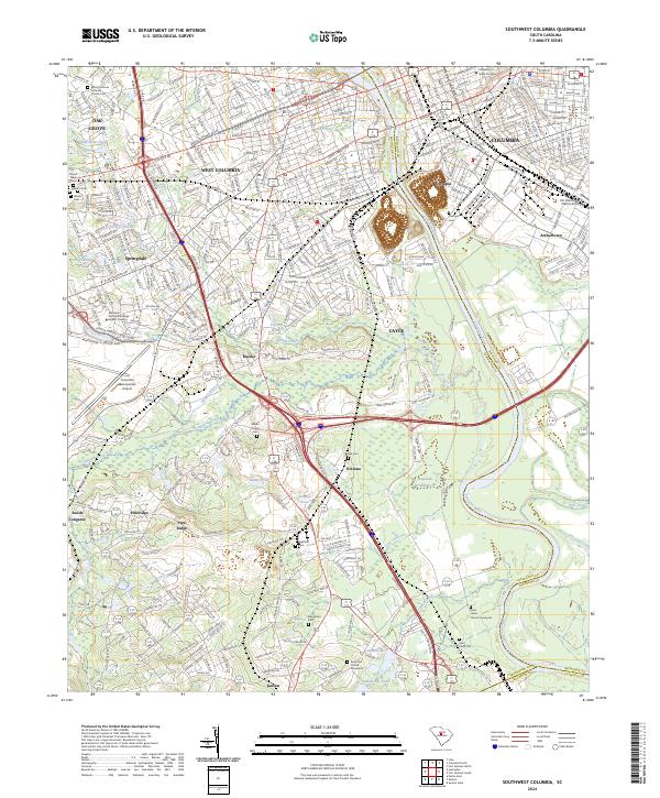 2024 Southwest Columbia2024 Print · USGSGreater Columbia and the western banks of the Congaree River are captured here in a modern era of suburban development and established infrastructure. Researchers can trace family history at the Saint Johns Church Graveyard or explore the transit hub around Kinsler and the Columbia Metropolitan Airport.
 - 2024 Map of Fort Jackson South, 2024 Print
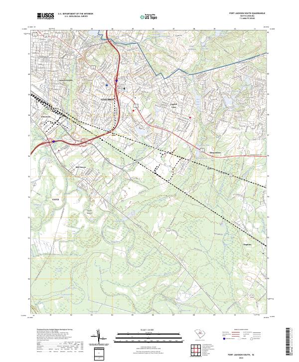 2024 Fort Jackson South2024 Print · USGSSoutheast of the state capital, this area shows the sprawl of contemporary Richland County alongside historic military grounds and rural crossroads. Local researchers can trace the footprint of Fort Jackson, find Childs Cem, or locate the community of Hopkins.
Showing maps 1-25 of 37
Top cities of Calhoun County
Frequently asked questions
- What are the different types of historical maps available for Calhoun County?
- What is the oldest map of Calhoun County?
- Where can I purchase historical maps of Calhoun County for my home or office?
- Where can I download high-res historical maps of Calhoun County?
- Are there historical topographic maps available for Calhoun County?
- Is there historical aerial imagery available for Calhoun County?
- Where are historical maps of Calhoun County sourced from?