2020s Maps of Charleston County, South Carolina
Explore 72 historic maps of Charleston County from the 2020s. These maps offer a rare glimpse into what life looked like during the 2020s — showing old roads, neighborhoods, homes, and landmarks that have changed or disappeared over time.
Whether you're researching your family's past, planning a metal detecting trip, or studying how Charleston County's landscape evolved across the 2020s, these high-resolution maps are a powerful tool for exploring the history of this region.
- Focus on a specific era: All maps on this page are from the 2020s, giving you a focused view of this time period.
- See what’s changed: Compare century-old streets, trails, and buildings to today's modern landscape using overlays and satellite layers.
- Research with precision: Use these maps for genealogy, historical research, land use analysis, or educational projects.
- View, download, or print: Maps are fully viewable online in high resolution, and can be downloaded or printed for your own records.
Start exploring Charleston County's history through authentic maps from the 2020s. This is your window into the past.
Charleston County, SC maps
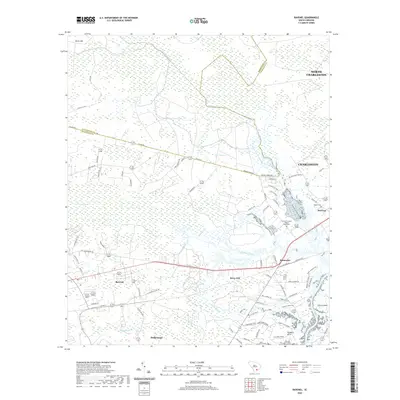
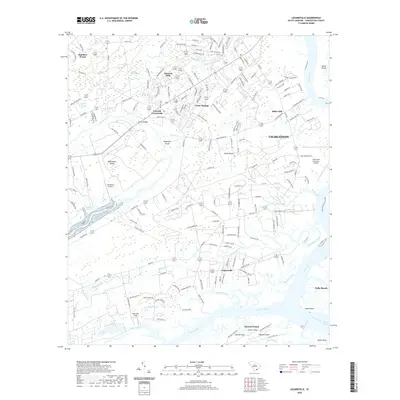
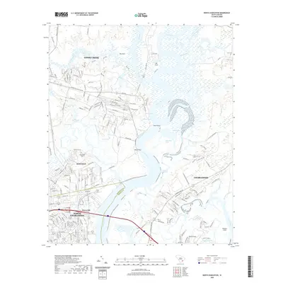
(72)- 2020 Map of Summerville, 2020 Print
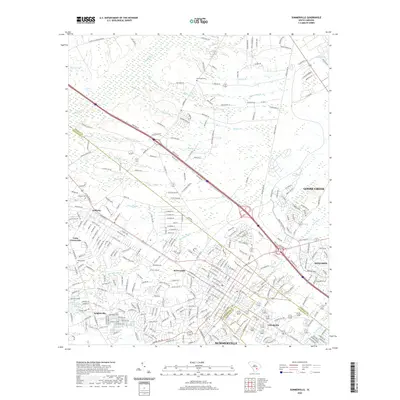 2020 Summerville2020 Print · USGSCovers Charleston County, including Summerville, Goose Creek, and other nearby areas
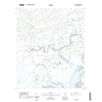
 - 2020 Map of Mount Holly, 2020 Print
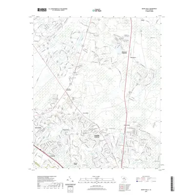 2020 Mount Holly2020 Print · USGSCovers Charleston County, including Goose Creek, Groomville, and other nearby areas
 - 2020 Map of Edisto Island, 2020 Print
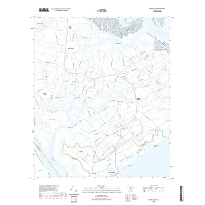 2020 Edisto Island2020 Print · USGSCovers Charleston County, including Edisto Beach, Edisto Island, and other nearby areas
 - 2020 Map of Stallsville, 2020 Print
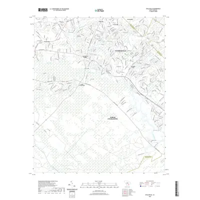 2020 Stallsville2020 Print · USGSCovers Charleston County, including North Charleston, Summerville, and other nearby areas
 - 2020 Map of Ravenel, 2020 Print
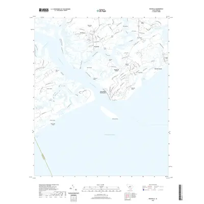
 2020 Ravenel2020 Print · USGSCovers Charleston County, including Charleston, Hollywood, and other nearby areas
 - 2020 Map of Johns Island, 2020 Print
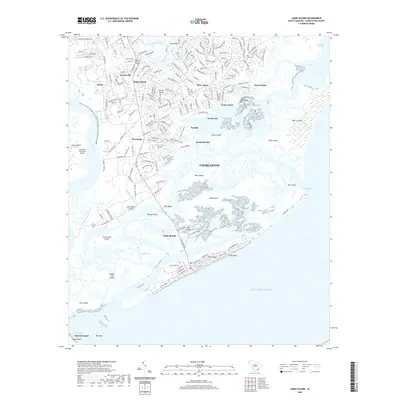
 2020 Johns Island2020 Print · USGSCovers Charleston County, including Charleston, North Charleston, and other nearby areas
 - 2020 Map of Edisto Beach, 2020 Print
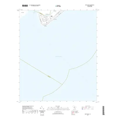 2020 Edisto Beach2020 Print · USGSCovers Charleston County, including Edisto Beach, Beaufort County, and other nearby areas
 - 2020 Map of Adams Run, 2020 Print
 2020 Adams Run2020 Print · USGSCovers Charleston County, including Hollywood, Meggett, and other nearby areas
 - 2020 Map of Bennetts Point, 2020 Print
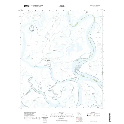 2020 Bennetts Point2020 Print · USGSCovers Charleston County, including Pine Landing, Bennetts Point, and other nearby areas
 - 2020 Map of Legareville, 2020 Print
 2020 Legareville2020 Print · USGSCovers Charleston County, including Charleston, Folly Beach, and other nearby areas
 - 2020 Map of Jacksonboro, 2020 Print
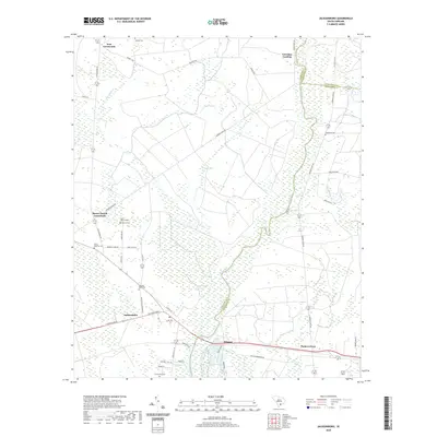 2020 Jacksonboro2020 Print · USGSCovers Charleston County, including Martins Landing, Padgett Landing, and other nearby areas
 - 2020 Map of Kiawah Island, 2020 Print
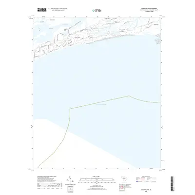 2020 Kiawah Island2020 Print · USGSCovers Charleston County, including Kiawah Island, Johns Island, and other nearby areas
 - 2020 Map of Ladson, 2020 Print
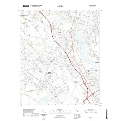 2020 Ladson2020 Print · USGSCovers Charleston County, including North Charleston, Summerville, and other nearby areas
 - 2020 Map of Rockville, 2020 Print
 2020 Rockville2020 Print · USGSCovers Charleston County, including Seabrook Island, Kiawah Island, and other nearby areas
 - 2020 Map of Osborn, 2020 Print
 2020 Osborn2020 Print · USGSCovers Charleston County, including Hollywood, Ravenel, and other nearby areas
 - 2020 Map of Wadmalaw Island, 2020 Print
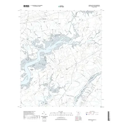 2020 Wadmalaw Island2020 Print · USGSCovers Charleston County, including Hollywood, Meggett, and other nearby areas
 - 2020 Map of Fenwick, 2020 Print
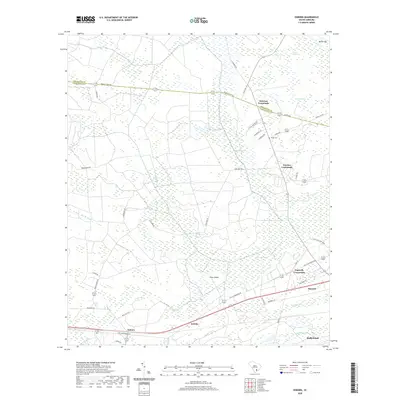
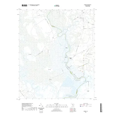 2020 Fenwick2020 Print · USGSCovers Charleston County, including Fenwick, Shiloh, and other nearby areas
 - 2020 Map of McClellanville OE S, 2020 Print
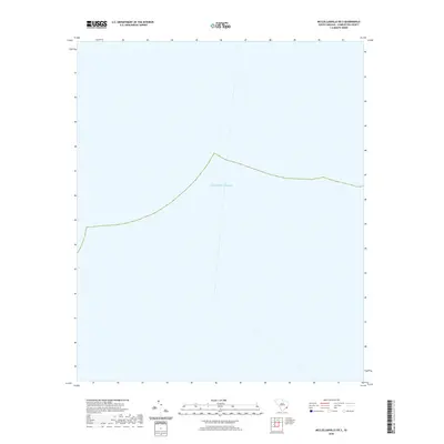 2020 McClellanville OE S2020 Print · USGSCovers Charleston County, including United States, South Carolina, and other nearby areas
 - 2020 Map of Kiawah Island OE E, 2020 Print
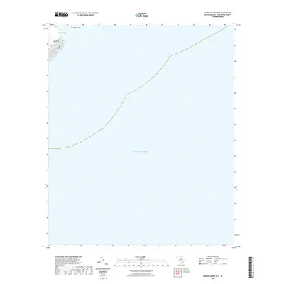 2020 Kiawah Island OE E2020 Print · USGSCovers Charleston County, including Folly Beach, Kiawah Island, and other nearby areas
 - 2020 Map of Sewee Bay, 2020 Print
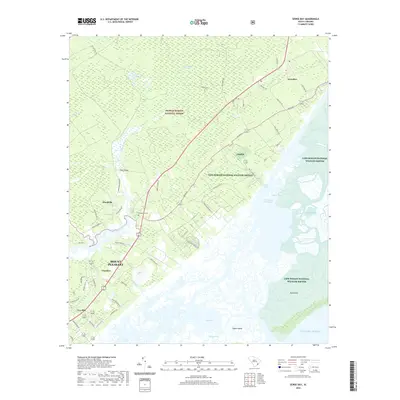 2020 Sewee Bay2020 Print · USGSCovers Charleston County, including Mount Pleasant, Awendaw, and other nearby areas
 - 2020 Map of Fort Moultrie, 2020 Print
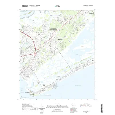 2020 Fort Moultrie2020 Print · USGSCovers Charleston County, including Charleston, Mount Pleasant, and other nearby areas
 - 2020 Map of Capers Inlet, 2020 Print
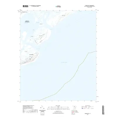 2020 Capers Inlet2020 Print · USGSCovers Charleston County, including Isle of Palms, Whitehall Terrace, and other nearby areas
 - 2020 Map of James Island, 2020 Print
 2020 James Island2020 Print · USGSCovers Charleston County, including Charleston, Folly Beach, and other nearby areas
 - 2020 Map of Charleston, 2020 Print
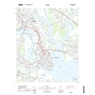 2020 Charleston2020 Print · USGSCovers Charleston County, including Charleston, North Charleston, and other nearby areas
 - 2020 Map of North Charleston, 2020 Print
 2020 North Charleston2020 Print · USGSCovers Charleston County, including Charleston, North Charleston, and other nearby areas
Showing maps 1-25 of 72
Top cities of Charleston County
- Mount Pleasant historical maps
- Hollywood historical maps
- Isle of Palms historical maps
- Ravenel historical maps
- Folly Beach historical maps
- Seabrook Island historical maps
See more
Frequently asked questions
- What are the different types of historical maps available for Charleston County?
- What is the oldest map of Charleston County?
- Where can I purchase historical maps of Charleston County for my home or office?
- Where can I download high-res historical maps of Charleston County?
- Are there historical topographic maps available for Charleston County?
- Is there historical aerial imagery available for Charleston County?
- Where are historical maps of Charleston County sourced from?