Old Maps of Adams Landing, South Carolina for Metal Detecting
Plan your next treasure hunt with 15 historic maps of Adams Landing. Find old homesites, ghost towns, trails, and gathering spots that may be lost to time — perfect for identifying promising metal detecting locations.
- Locate forgotten sites: Uncover places like long-lost settlements, abandoned rail lines, or gathering spots.
- Plan better hunts: Use map overlays combined with LiDAR or satellite views to narrow in on historically rich areas.
- Made for detectorists: Thousands of hobbyists use these maps to discover relics, coins, and hidden history.
Use these historic maps to boost your research and find new opportunities beneath the surface of Adams Landing.
Adams Landing, SC maps
(15)- 1954 Map of Augusta
 1954 Augusta1954 Print · USGSThe Savannah River valley and South Carolina Midlands are captured here during a period of post-war growth. Researchers can trace the rail-and-river economy through the Southern RR corridor and locate historic settlements like Aiken, Orangeburg, and Sumter.
 - 1957 Map of Augusta, 1966 Print
 1957 Augusta1966 Print · USGSThe Savannah River and Santee basins are captured here during a period of massive military and industrial expansion in the late fifties. Genealogists can trace family footprints across Four Hole Swamp or near the Savannah River Plant.3 unique versions available
 - 1958 Map of Augusta
 1958 Augusta1958 Print · USGSThe borderlands between Georgia and South Carolina come alive in the 1950s, showing the early footprint of the Savannah River Plant. Genealogists and historians can trace rail-dependent towns and rural landmarks from Orangeburg to the Fort Jackson Military Reservation.
 - 1961 Map of Augusta
 1961 Augusta1961 Print · USGSThe South Carolina lowcountry and CSRA appear here in the early sixties, during a period of massive military and industrial growth. Researchers can trace the development of the Savannah River Plant or locate legacy landmarks like Nelson Ferry and Magnolia Cemetery.2 unique versions available
 - 1962 Map of Augusta
 1962 Augusta1962 Print · USGSThe South Carolina and Georgia borderlands are seen here in the early sixties, showing the rise of the Savannah River Plant and the expansion of Fort Jackson. Researchers can trace old rail lines like the Southern Railway and find landmarks such as St. Pauls Church or the Santee Canal.
 - 1971 Map of Summerton
 1971 Summerton1971 Print · USGSThe Clarendon County countryside comes alive in this mid-century survey, showing the transition from the Poinsett forest to the shores of Lake Marion. Genealogists can trace family roots through numerous local landmarks like Wells Sch, St Pauls Ch, and the historic Fort Watson.2 unique versions available
 - 1980 Map of Saint Paul
 1980 Saint Paul1980 Print · USGSThe Santee River basin is shown here in the early eighties as a hub of conservation and rural heritage. Genealogists and historians can trace local landmarks like St Phillips Ch, the Liberty Hill Sch, and the ancient Indian Mound near Cantey Bay.2 unique versions available
 - 1986 Map of Sumter
 1986 Sumter1986 Print · USGSMid-South Carolina in the mid-eighties reveals a landscape of massive river bottomlands and significant military installations. Genealogists and historians can trace the rural networks around Fort Motte, Lone Star, and Sardinia alongside Lake Marion.
 - 1990 Map of Sumter
 1990 Sumter1990 Print · USGSCentral South Carolina's river systems and military landscapes are captured here during the late twentieth century. Genealogists and historians can trace the growth of Sumter or locate rural communities such as Wedgefield and Kingville near the Congaree River.
 - 1994 Map of Saint Paul, 1999 Print
 1994 Saint Paul1999 Print · USGSThe Lake Santee shoreline and its surrounding wetlands are captured here in the mid-1990s as modern bridges began to dominate the landscape. Genealogists can trace family landmarks at Saint Paul, St Phillips Ch, and the Liberty Hill Sch.
 - 2011 Map of Saint Paul, 2011 Print
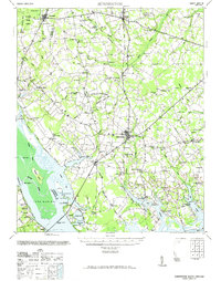
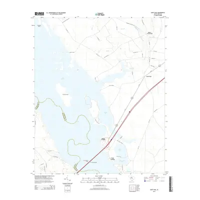
 2011 Saint Paul2011 Print · USGSCovers Adams Landing, including Saint Paul, Belser Crossroads, and other nearby areas
 - 2014 Map of Saint Paul, 2014 Print
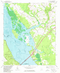
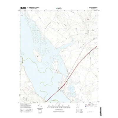
 2014 Saint Paul2014 Print · USGSCovers Adams Landing, including Saint Paul, Belser Crossroads, and other nearby areas
 - 2017 Map of Saint Paul, 2017 Print
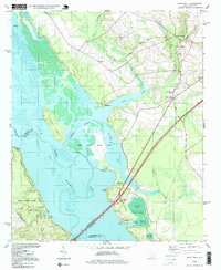
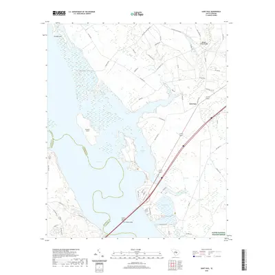
 2017 Saint Paul2017 Print · USGSCovers Adams Landing, including Saint Paul, Belser Crossroads, and other nearby areas
 - 2020 Map of Saint Paul, 2020 Print
 2020 Saint Paul2020 Print · USGSCovers Adams Landing, including Saint Paul, Belser Crossroads, and other nearby areas
 - 2024 Map of Saint Paul, 2024 Print
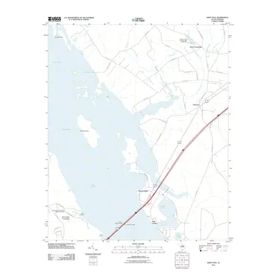
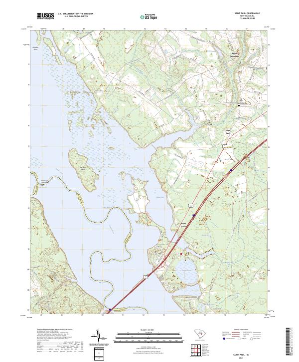 2024 Saint Paul2024 Print · USGSCoastal plains and river bottomlands converge in the contemporary South Carolina lowcountry near Saint Paul. Trace family connections and local landmarks including the Liberty Hill Church Graveyard, Belser Crossroads, and the edges of Lake Marion.
End of results
Showing maps 1-15 of 15
Top cities near Adams Landing
- Manning historical maps
- Holly Hill historical maps
- Summerton historical maps
- Santee historical maps
- Elloree historical maps
- Pinewood historical maps
See more
Frequently asked questions
- What are the different types of historical maps available for Adams Landing?
- What is the oldest map of Adams Landing?
- Where can I purchase historical maps of Adams Landing for my home or office?
- Where can I download high-res historical maps of Adams Landing?
- Are there historical topographic maps available for Adams Landing?
- Is there historical aerial imagery available for Adams Landing?
- Where are historical maps of Adams Landing sourced from?