2020s Maps of Fairfield County, South Carolina
Explore 42 historic maps of Fairfield County from the 2020s. These maps offer a rare glimpse into what life looked like during the 2020s — showing old roads, neighborhoods, homes, and landmarks that have changed or disappeared over time.
Whether you're researching your family's past, planning a metal detecting trip, or studying how Fairfield County's landscape evolved across the 2020s, these high-resolution maps are a powerful tool for exploring the history of this region.
- Focus on a specific era: All maps on this page are from the 2020s, giving you a focused view of this time period.
- See what’s changed: Compare century-old streets, trails, and buildings to today's modern landscape using overlays and satellite layers.
- Research with precision: Use these maps for genealogy, historical research, land use analysis, or educational projects.
- View, download, or print: Maps are fully viewable online in high resolution, and can be downloaded or printed for your own records.
Start exploring Fairfield County's history through authentic maps from the 2020s. This is your window into the past.
Fairfield County, SC maps
(42)- 2020 Map of Liberty Hill, 2020 Print
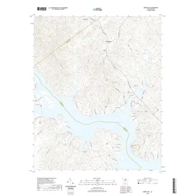 2020 Liberty Hill2020 Print · USGSThe Kershaw County uplands and the winding fingers of Wateree Lake are documented in this contemporary survey. Researchers can locate family landmarks like the Summerville - Cunningham Cem, New Grove Cem, and Mineral Spring.
 - 2020 Map of Blythewood, 2020 Print
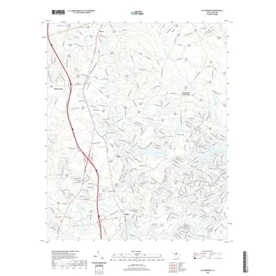 2020 Blythewood2020 Print · USGSBlythewood and northern Richland County are shown in this 2020 survey as a blend of growing residential areas and traditional crossroads. Researchers can trace local heritage through sites like Pineview Church, Woodlawn Cem, and the historic junction at Langfords Crossroads.
 - 2020 Map of Flint Hill, 2020 Print
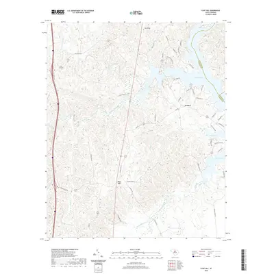 2020 Flint Hill2020 Print · USGSFairfield County’s lakeside and rural communities come into focus in this recent survey of the Wateree basin. Genealogists and local historians can trace family locations near Mount Zion Cem or follow old routes like Ladd's Ferry Rd and Camp Welfare Rd.
 - 2020 Map of Longtown, 2020 Print
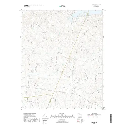 2020 Longtown2020 Print · USGSThe rural uplands of Fairfield County are captured here as they appeared in 2020, centered on the historic community of Longtown. Genealogists and local historians can trace family locations through numerous sites like Rock Hill Cemetery, Warren Crossroads, and Antioch Cemetery.
 - 2020 Map of Ridgeway, 2020 Print
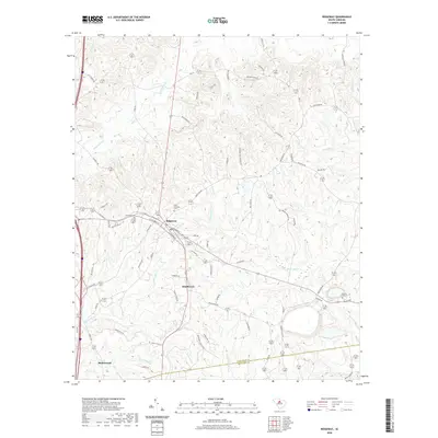 2020 Ridgeway2020 Print · USGSRidgeway and the Fairfield-Richland county line are documented here in the early twenty-first century as modern growth meets old rural landscapes. Researchers can trace family history at Saint Stephens Cem or follow the waters of Twentyfive Mile Cr and Sawneys Cr.
 - 2020 Map of Great Falls, 2020 Print
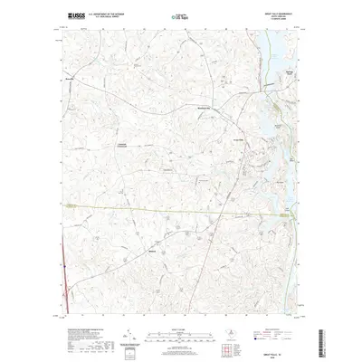 2020 Great Falls2020 Print · USGSThe Catawba River's industrial and hydroelectric corridor at Great Falls is captured here in the early twenty-first century. Genealogists and local historians can trace legacy sites like Browns - Strouds Cem, the rural center of Mitford, and Mountain Island.
 - 2020 Map of Irmo NE, 2020 Print
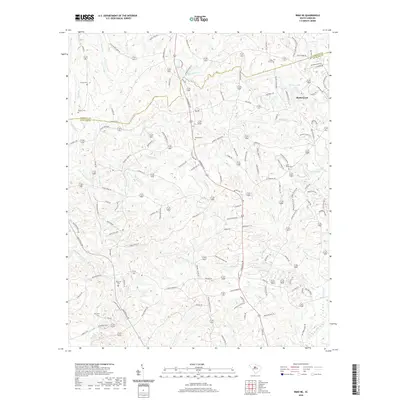 2020 Irmo NE2020 Print · USGSBlythewood and the surrounding Richland County countryside are mapped here during a period of modern growth amidst deep-rooted rural history. Researchers can identify numerous family-named landmarks and old burial sites, such as Saint Marks Cem, Wirick Cem, and Mullers Lake.
 - 2020 Map of Stover, 2020 Print
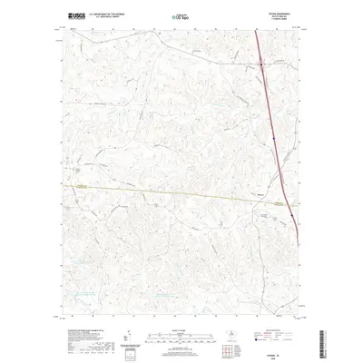 2020 Stover2020 Print · USGSThe rural border of Chester and Fairfield counties is captured here in the late 2010s, showing a landscape of deep creek valleys and forest. Local researchers can locate family landmarks like the Gold Mine Cem and trace historic routes such as Cornwallis Rd and Hopewell Church Rd.
 - 2020 Map of Carlisle, 2020 Print
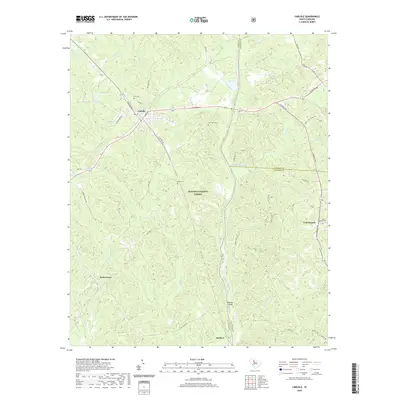 2020 Carlisle2020 Print · USGSThe rural Upstate at the start of the 2020s is captured here, centered on the tri-county junction of Union, Chester, and Fairfield. Genealogists can locate family landmarks such as Kellys Cem, Tuckertown, and the Fish Dam Cem within the Sumter National Forest.
 - 2020 Map of Rion, 2020 Print
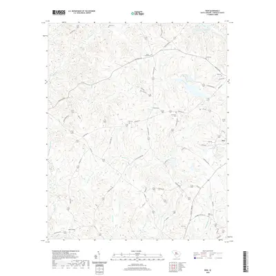 2020 Rion2020 Print · USGSFairfield County’s rolling creek valleys and small rural settlements are documented here in the early twenty-first century. Genealogists can trace family heritage through numerous burial grounds like Molly Alston Cem and Yarborough Cem near the Winnsboro Reservoir.
 - 2020 Map of Carlisle SE, 2020 Print
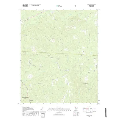 2020 Carlisle SE2020 Print · USGSFairfield and Chester counties are documented here in the modern era, showing the enduring rural character of the South Carolina Piedmont. Genealogists can trace family heritage through numerous sites like Sweet Hope Cem, Antioch Cem, and the Castles - Stevenson Cem near the Sumter National Forest.
 - 2020 Map of Chapin, 2020 Print
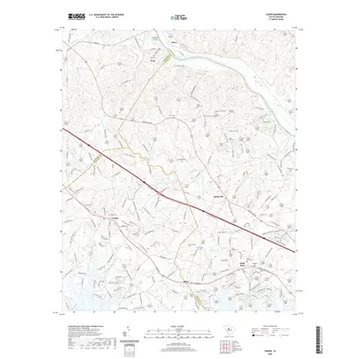 2020 Chapin2020 Print · USGSLexington and Richland counties meet along the Broad River in this modern survey of the South Carolina Midlands. Genealogists can locate numerous family burial sites such as Stuck Cem and Threewits Cem near the communities of Chapin and Spring Hill.
 - 2020 Map of Winnsboro Mills, 2020 Print
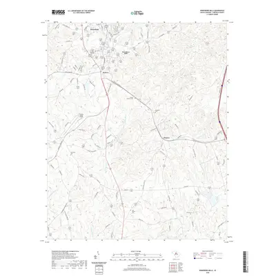 2020 Winnsboro Mills2020 Print · USGSFairfield County, South Carolina, is depicted here as it appears today, balancing its industrial roots with a deeply etched rural landscape. Genealogists can trace family heritage through local burial sites like Winnsboro Mills Cem, Greenbrier Cem, and the New Buffalo Cem.
 - 2020 Map of Richtex, 2020 Print
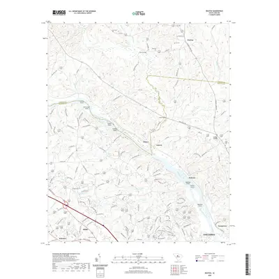 2020 Richtex2020 Print · USGSThe river-laced border of Richland and Fairfield counties is captured here in recent years as suburban growth meets rural South Carolina history. Genealogists can locate family landmarks like Saint Pauls Cem and Hinnants Store Rd, or trace the river islands of Huffman Island and Bookman Island.
 - 2020 Map of Lebanon, 2020 Print
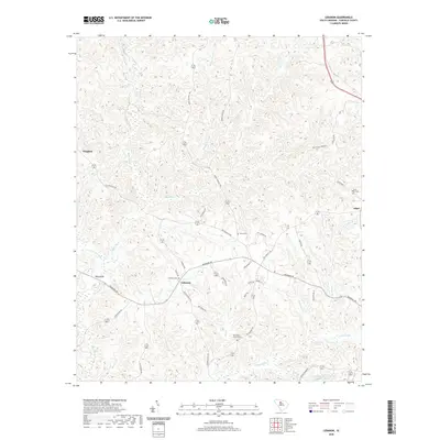 2020 Lebanon2020 Print · USGSFairfield County’s rolling landscape near the turn of the decade is defined by the rural crossroads of Lebanon and its surrounding creek systems. Researchers can locate family landmarks like Old Stone Church Cem, Bells Bridge, and the historic settlement at Adger.
 - 2020 Map of Salem Crossroads, 2020 Print
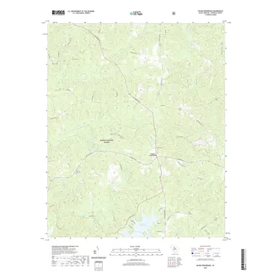 2020 Salem Crossroads2020 Print · USGSFairfield County’s timberlands and river valleys are captured here as they appeared in 2020. Genealogists and local historians can trace the locations of Feaster Cem, Salem Crossroads, and the shoreline of Monticello Reservoir.
 - 2020 Map of Winnsboro, 2020 Print
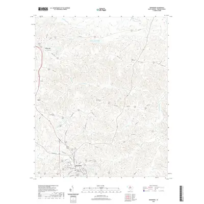 2020 Winnsboro2020 Print · USGSFairfield County and the seat of Winnsboro are shown here in the contemporary era, illustrating the enduring layout of this South Carolina Piedmont landscape. Genealogists and local historians can locate many historic burial grounds, such as Bethlehem Cem and White Oak Cem, alongside the Fairfield County Courthouse.
 - 2020 Map of Jenkinsville, 2020 Print
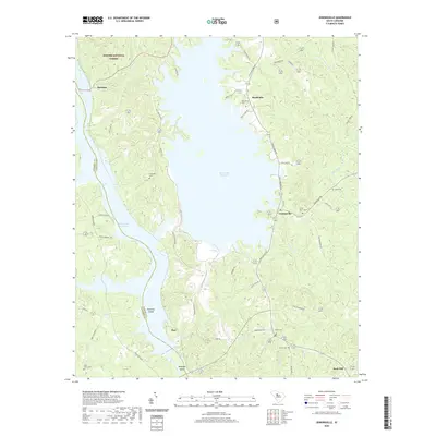 2020 Jenkinsville2020 Print · USGSFairfield County and the Broad River valley are shown here in the era of modern hydroelectric power. Genealogists and local historians can trace family roots through numerous burial sites like Monticello Cem and Owens Cem, or explore the shores of the Monticello Reservoir.
 - 2020 Map of Pomaria, 2020 Print
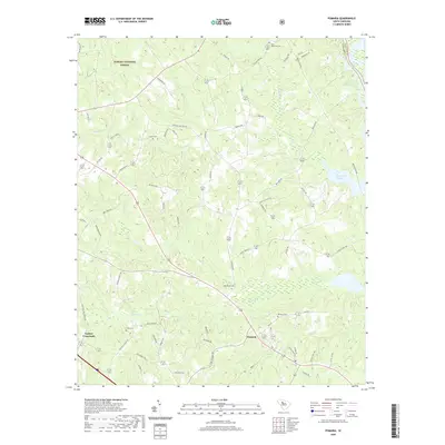 2020 Pomaria2020 Print · USGSPomaria and the surrounding Newberry County countryside are shown here in the modern era, just as the forest and river systems continue to shape local life. Genealogists can locate several historic burial sites like Bethlehem Cem and Pomaria Cem near the banks of Cannons Cr.
 - 2020 Map of Blair, 2020 Print
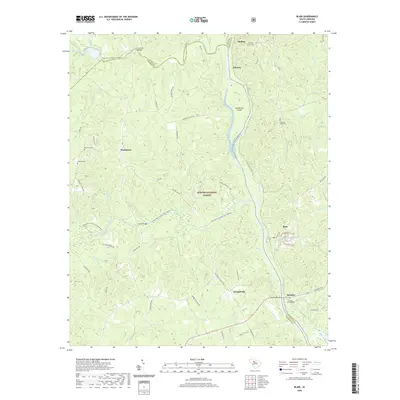 2020 Blair2020 Print · USGSThe confluence of the Broad, Tyger, and Enoree Rivers in the South Carolina Piedmont defines this river-valley landscape within the Sumter National Forest. Researchers can trace ancestral roots through several local burial sites like Ebenezer Cem and James Ashford Cem, or locate old crossings at Gordons Bridge and Kettts Bridge.
 - 2020 Map of Blackstock, 2020 Print
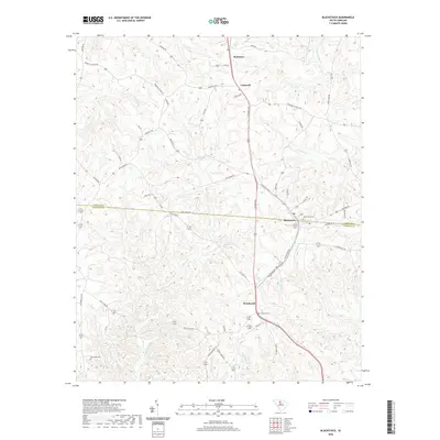 2020 Blackstock2020 Print · USGSThe Chester and Fairfield county line meets at Blackstock in this recent survey of the South Carolina Piedmont. Local researchers can trace family landmarks and burial sites including Concord Cem, New Hope Cem, and the headwaters of the Little River.
 - 2024 Map of Richtex, 2024 Print
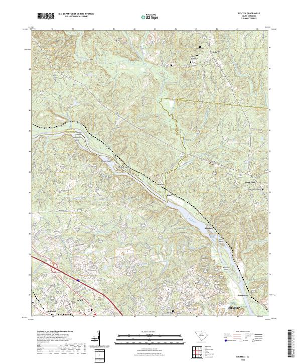 2024 Richtex2024 Print · USGSThe Broad River corridor at the Fairfield and Richland county line remains a landscape of river shoals and rural hamlets in this recent survey. Researchers can locate family landmarks like the Robinson Cem, Lindler Cem, and the historic Saint Pauls Church Graveyard.
 - 2024 Map of Blackstock, 2024 Print
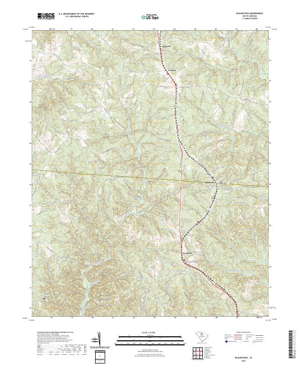 2024 Blackstock2024 Print · USGSThe borderlands of Chester and Fairfield Counties come into focus in this contemporary survey of the South Carolina Piedmont. Researchers can trace family roots through the Concord Church Graveyard and old settlements like Blackstock and McKeown.
 - 2024 Map of Stover, 2024 Print
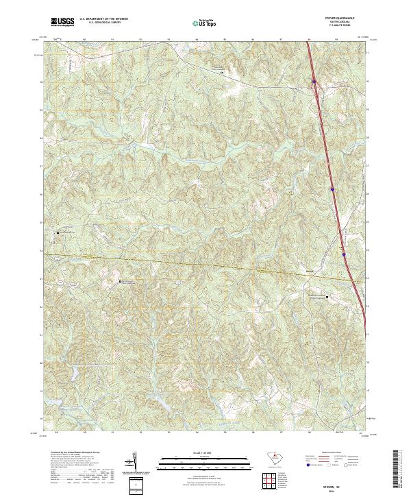 2024 Stover2024 Print · USGSThe Chester and Fairfield county line area comes to life in this contemporary study of rural South Carolina. Local historians and genealogists can pinpoint long-standing landmarks like Gold Mine Church, Mount Aimwell Graveyard, and the Richmond Covenanter Church.
 - 2024 Map of Carlisle SE, 2024 Print
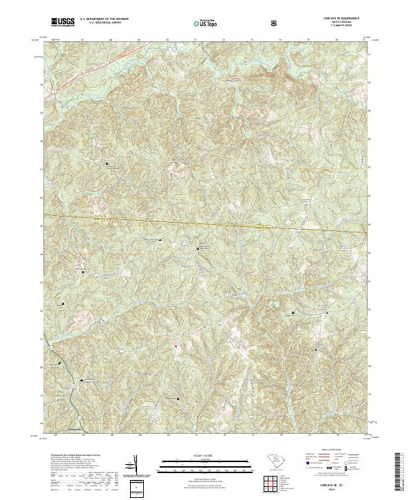 2024 Carlisle SE2024 Print · USGSThe crossroads of Fairfield and Chester counties are documented here in the early twenty-first century, highlighting a landscape of timber and traditional settlements. Genealogists can locate several family-named landmarks including Dennis Crosby Cem, Wiley Coleman Cem, and the Purity Church Graveyard.
Showing maps 1-25 of 42
Top cities of Fairfield County
Frequently asked questions
- What are the different types of historical maps available for Fairfield County?
- What is the oldest map of Fairfield County?
- Where can I purchase historical maps of Fairfield County for my home or office?
- Where can I download high-res historical maps of Fairfield County?
- Are there historical topographic maps available for Fairfield County?
- Is there historical aerial imagery available for Fairfield County?
- Where are historical maps of Fairfield County sourced from?