2000s (21st Century) Maps of Fairfield County, South Carolina
Explore 105 historic maps of Fairfield County from the 2000s (21st Century). These maps offer a rare glimpse into what life looked like during the 2000s — showing old roads, neighborhoods, homes, and landmarks that have changed or disappeared over time.
Whether you're researching your family's past, planning a metal detecting trip, or studying how Fairfield County's landscape evolved across the 2000s, these high-resolution maps are a powerful tool for exploring the history of this region.
- Focus on a specific era: All maps on this page are from the 2000s, giving you a focused view of this time period.
- See what’s changed: Compare century-old streets, trails, and buildings to today's modern landscape using overlays and satellite layers.
- Research with precision: Use these maps for genealogy, historical research, land use analysis, or educational projects.
- View, download, or print: Maps are fully viewable online in high resolution, and can be downloaded or printed for your own records.
Start exploring Fairfield County's history through authentic maps from the 2000s. This is your window into the past.
Fairfield County, SC maps
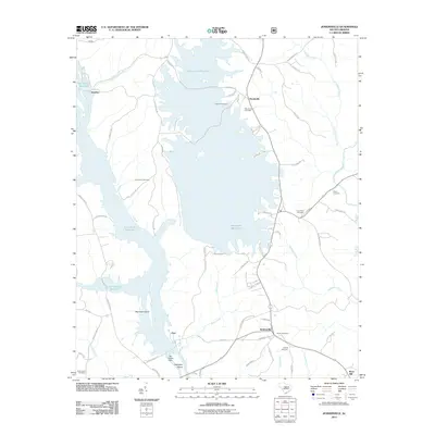
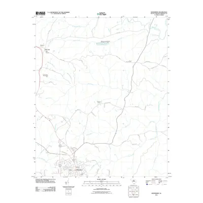
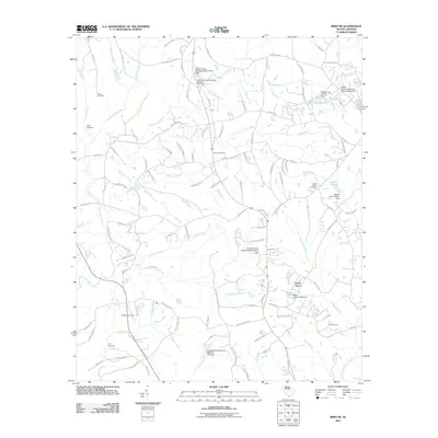
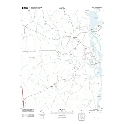
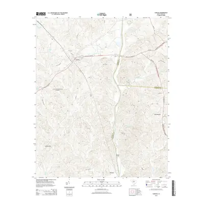
(105)- 2011 Map of Carlisle, 2011 Print
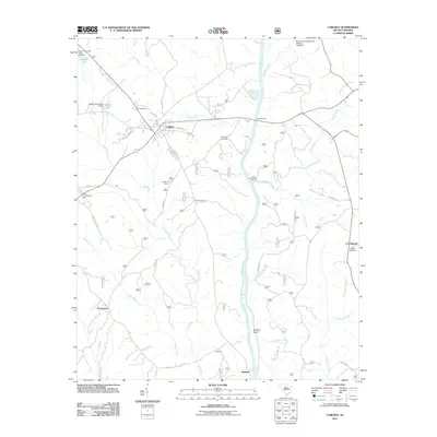 2011 Carlisle2011 Print · USGSCovers Fairfield County, including Carlisle, Herbert, and other nearby areas
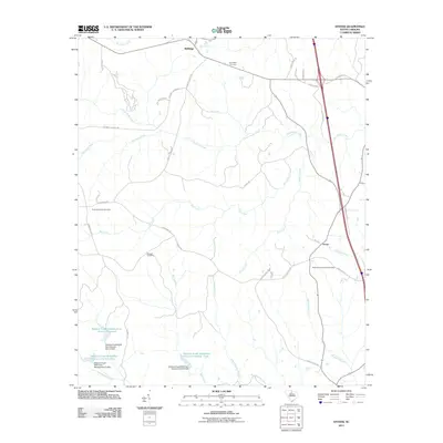
 - 2011 Map of Rion, 2011 Print
 2011 Rion2011 Print · USGSCovers Fairfield County, including Rion, United States, and other nearby areas
 - 2011 Map of Winnsboro Mills, 2011 Print
 2011 Winnsboro Mills2011 Print · USGSCovers Fairfield County, including Winnsboro, Simpson, and other nearby areas
 - 2011 Map of Lebanon, 2011 Print
 2011 Lebanon2011 Print · USGSCovers Fairfield County, including Lebanon, Douglass, and other nearby areas
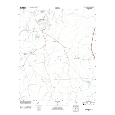
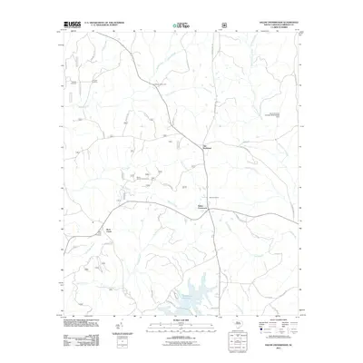
 - 2011 Map of Jenkinsville, 2011 Print
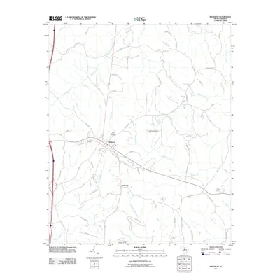
 2011 Jenkinsville2011 Print · USGSCovers Fairfield County, including Dawkins, Monticello, and other nearby areas
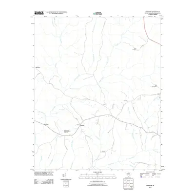
 - 2011 Map of Carlisle SE, 2011 Print
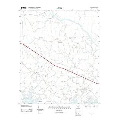
 2011 Carlisle SE2011 Print · USGSCovers Fairfield County, including Feasterville, Chester County, and other nearby areas
 - 2011 Map of Blair, 2011 Print
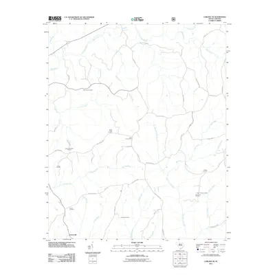
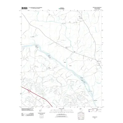
 2011 Blair2011 Print · USGSCovers Fairfield County, including Strother, Clayton, and other nearby areas
 - 2011 Map of Salem Crossroads, 2011 Print
 2011 Salem Crossroads2011 Print · USGSCovers Fairfield County, including Old Buckhead, Rock Creek, and other nearby areas
 - 2011 Map of Winnsboro, 2011 Print
 2011 Winnsboro2011 Print · USGSCovers Fairfield County, including Winnsboro, White Oak, and other nearby areas
 - 2011 Map of Ridgeway, 2011 Print
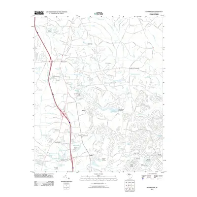
 2011 Ridgeway2011 Print · USGSCovers Fairfield County, including Blythewood, Ridgeway, and other nearby areas
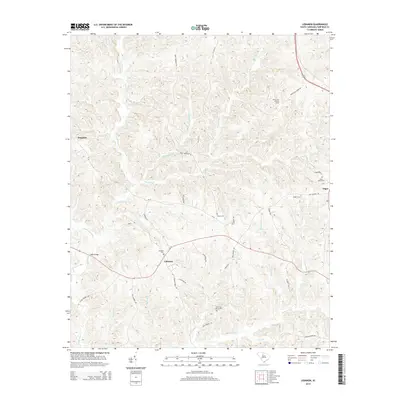
 - 2011 Map of Chapin, 2011 Print
 2011 Chapin2011 Print · USGSCovers Fairfield County, including Chapin, Peak, and other nearby areas
 - 2011 Map of Richtex, 2011 Print
 2011 Richtex2011 Print · USGSCovers Fairfield County, including Columbia, Jennings, and other nearby areas
 - 2011 Map of Irmo NE, 2011 Print
 2011 Irmo NE2011 Print · USGSCovers Fairfield County, including Blythewood, Green Acres, and other nearby areas
 - 2011 Map of Stover, 2011 Print
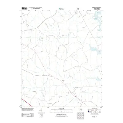
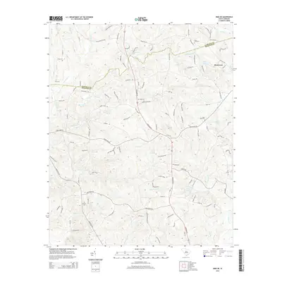
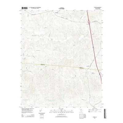
 2011 Stover2011 Print · USGSCovers Fairfield County, including Wellridge, Stover, and other nearby areas
 - 2011 Map of Pomaria, 2011 Print
 2011 Pomaria2011 Print · USGSCovers Fairfield County, including Pomaria, Taylors Crossroads, and other nearby areas
 - 2011 Map of Blackstock, 2011 Print
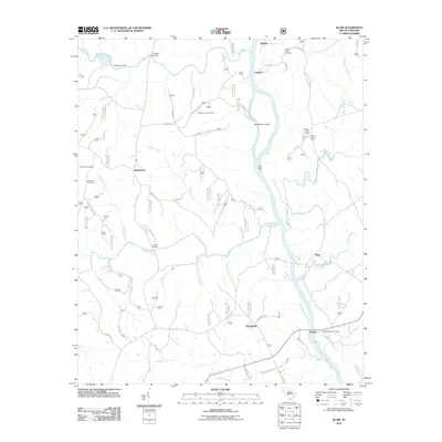
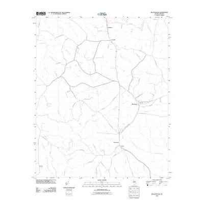 2011 Blackstock2011 Print · USGSCovers Fairfield County, including Woodward, McKeown, and other nearby areas
 - 2011 Map of Great Falls, 2011 Print
 2011 Great Falls2011 Print · USGSCovers Fairfield County, including Great Falls, Springs Park, and other nearby areas
 - 2011 Map of Blythewood, 2011 Print
 2011 Blythewood2011 Print · USGSCovers Fairfield County, including Blythewood, Langfords Crossroads, and other nearby areas
 - 2011 Map of Longtown, 2011 Print
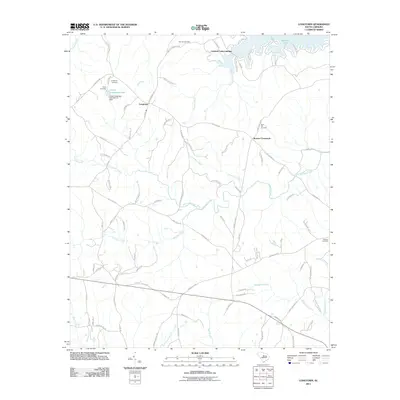 2011 Longtown2011 Print · USGSCovers Fairfield County, including Longtown, Colonel Creek Landing, and other nearby areas
 - 2011 Map of Liberty Hill, 2011 Print
 2011 Liberty Hill2011 Print · USGSCovers Fairfield County, including Liberty Hill, Lancaster County, and other nearby areas
 - 2011 Map of Flint Hill, 2011 Print
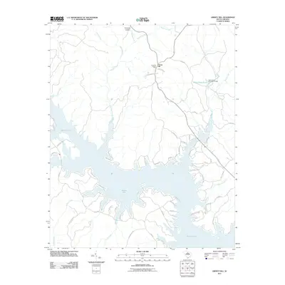
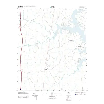 2011 Flint Hill2011 Print · USGSCovers Fairfield County, including Flint Hill, Bucklick, and other nearby areas
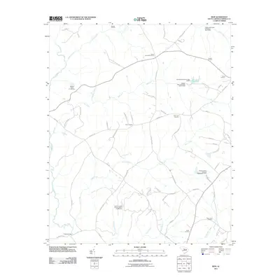
 - 2014 Map of Lebanon, 2014 Print
 2014 Lebanon2014 Print · USGSCovers Fairfield County, including Lebanon, Douglass, and other nearby areas
 - 2014 Map of Carlisle, 2014 Print
 2014 Carlisle2014 Print · USGSCovers Fairfield County, including Carlisle, Herbert, and other nearby areas
 - 2014 Map of Irmo NE, 2014 Print
 2014 Irmo NE2014 Print · USGSCovers Fairfield County, including Blythewood, Green Acres, and other nearby areas
 - 2014 Map of Stover, 2014 Print
 2014 Stover2014 Print · USGSCovers Fairfield County, including Wellridge, Stover, and other nearby areas
Showing maps 1-25 of 105
Top cities of Fairfield County
Frequently asked questions
- What are the different types of historical maps available for Fairfield County?
- What is the oldest map of Fairfield County?
- Where can I purchase historical maps of Fairfield County for my home or office?
- Where can I download high-res historical maps of Fairfield County?
- Are there historical topographic maps available for Fairfield County?
- Is there historical aerial imagery available for Fairfield County?
- Where are historical maps of Fairfield County sourced from?