2010s Maps of Fairfield County, South Carolina
Explore 63 historic maps of Fairfield County from the 2010s. These maps offer a rare glimpse into what life looked like during the 2010s — showing old roads, neighborhoods, homes, and landmarks that have changed or disappeared over time.
Whether you're researching your family's past, planning a metal detecting trip, or studying how Fairfield County's landscape evolved across the 2010s, these high-resolution maps are a powerful tool for exploring the history of this region.
- Focus on a specific era: All maps on this page are from the 2010s, giving you a focused view of this time period.
- See what’s changed: Compare century-old streets, trails, and buildings to today's modern landscape using overlays and satellite layers.
- Research with precision: Use these maps for genealogy, historical research, land use analysis, or educational projects.
- View, download, or print: Maps are fully viewable online in high resolution, and can be downloaded or printed for your own records.
Start exploring Fairfield County's history through authentic maps from the 2010s. This is your window into the past.
Fairfield County, SC maps
(63)- 2011 Map of Carlisle, 2011 Print
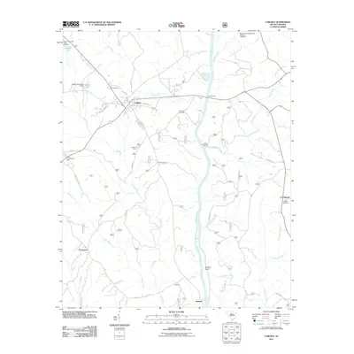 2011 Carlisle2011 Print · USGSCarlisle and the Broad River valley are captured here in the early twenty-first century, showcasing a landscape of small settlements and river crossings. Researchers can locate family landmarks like Hill Cemetery, Fishdam Ford, and the rural community of Tuckertown.
 - 2011 Map of Rion, 2011 Print
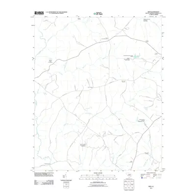 2011 Rion2011 Print · USGSFairfield County’s rural character is preserved in this study of the Rion area during the early twenty-first century. Genealogists can locate numerous family burial sites such as Yarborough Cemetery and trace the old crossings at Glenns Bridge.
 - 2011 Map of Winnsboro Mills, 2011 Print
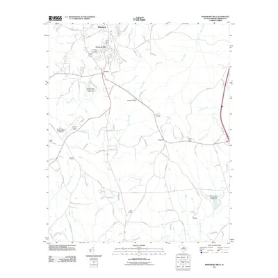 2011 Winnsboro Mills2011 Print · USGSFairfield County is captured here in the early twenty-first century, showing the established communities of Winnsboro Mills and Rockton. Genealogists can trace numerous local burial sites like Richardson Cemetery and Greenbrier Cemetery, or locate the Simpson Lookout Tower.
 - 2011 Map of Lebanon, 2011 Print
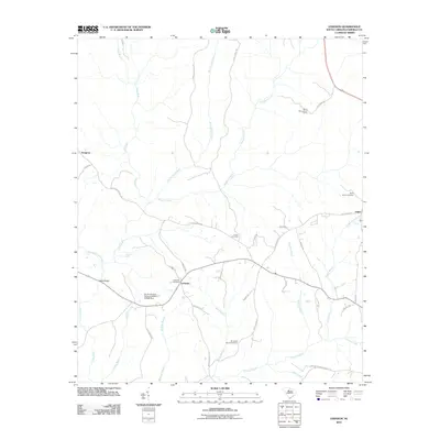 2011 Lebanon2011 Print · USGSFairfield County at the turn of the decade reveals a landscape of enduring rural communities and historic family-named roadways. Local historians can trace early settlements and burial grounds including Lebanon, Adger, and the Old Stone Church Cemetery.
 - 2011 Map of Jenkinsville, 2011 Print
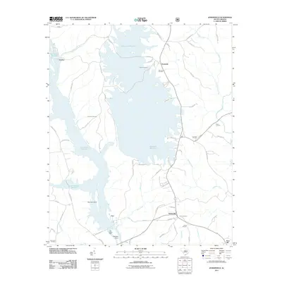 2011 Jenkinsville2011 Print · USGSFairfield County's river valleys were significantly transformed by mid-century, as seen here in the extensive reaches of the Broad River. Genealogists can locate several local burial sites like Shiloh Cemetery, Brick Cemetery, and Owens Cemetery.
 - 2011 Map of Carlisle SE, 2011 Print
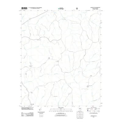 2011 Carlisle SE2011 Print · USGSFeasterville and the surrounding Fairfield County countryside are documented here in the early twenty-first century. Researchers can trace numerous family-named landmarks and burial sites, including the Wiley Coleman Cemetery, Castles-Stevenson Cemetery, and Antioch Cemetery.
 - 2011 Map of Blair, 2011 Print
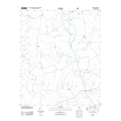 2011 Blair2011 Print · USGSIn the early 21st century, the confluence of the Tyger and Broad rivers preserves a landscape of scattered settlements and river crossings. Researchers can trace family history at the Weeping Mary Cemetery or locate old crossings like Lyles Ford and Keitts Bridge.
 - 2011 Map of Salem Crossroads, 2011 Print
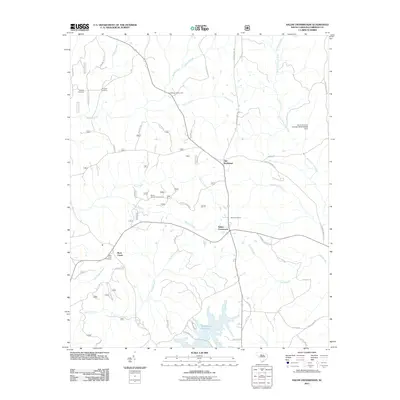 2011 Salem Crossroads2011 Print · USGSFairfield County’s rural interior is documented here in the early twenty-first century, centered on the historic junction at Salem Crossroads. Researchers can locate several family burial grounds like Feaster Cemetery and trace the landscape around Monticello Reservoir.
 - 2011 Map of Winnsboro, 2011 Print
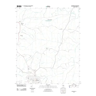 2011 Winnsboro2011 Print · USGSFairfield County’s crossroads and creek systems are captured here in the early twenty-first century as the area surrounding Winnsboro continued to evolve. Genealogists and local historians can locate several rural burial sites, including Bethlehem Cemetery and Saint James Cemetery, near the headwaters of Gaydens Creek.
 - 2011 Map of Ridgeway, 2011 Print
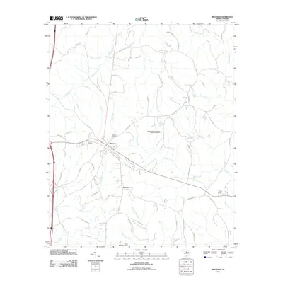 2011 Ridgeway2011 Print · USGSThe town of Ridgeway and the nearby community of Smallwood are shown here as they appeared in 2011. Genealogists can trace local roots at Saint Stephens Cemetery or Aimwell Cemetery while following family-named landmarks like Mood Harrison Rd.
 - 2011 Map of Chapin, 2011 Print
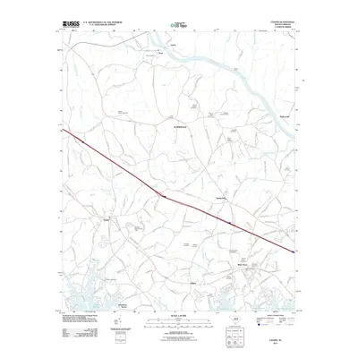 2011 Chapin2011 Print · USGSThe northern reaches of Lexington County and the shores of Lake Murray are captured here in the early twenty-first century. Genealogists can locate numerous family burial sites such as Jacob Eargle Cemetery and Schmitz Cemetery, or trace the rail-side heritage of Peak and White Rock.
 - 2011 Map of Richtex, 2011 Print
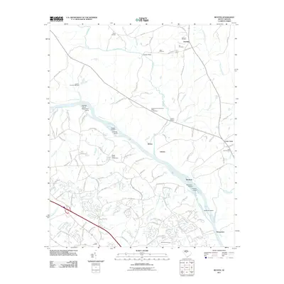 2011 Richtex2011 Print · USGSRichland County at the turn of the decade shows a landscape shaped by the Broad River and its numerous shoals. Genealogists and local historians can trace family locations through sites like Saint Pauls Cemetery, Van Cemetery, and the settlement at Cedar Creek.
 - 2011 Map of Irmo NE, 2011 Print
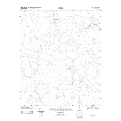 2011 Irmo NE2011 Print · USGSThe outskirts of Blythewood in the early 2010s show a landscape of residential growth woven into traditional South Carolina creek valleys. Genealogists and local historians can locate several family burial grounds, including Mespiah Cemetery and Cory Cemetery, alongside landmarks like Keels Lake.
 - 2011 Map of Stover, 2011 Print
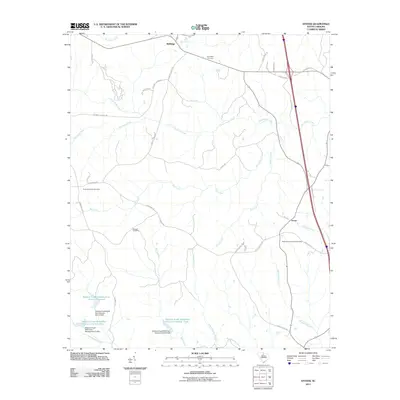 2011 Stover2011 Print · USGSChester County's rural landscape is captured here in the early twenty-first century, showing a region shaped by water management and long-standing family settlements. Genealogists and historians can trace local roots at the Gold Mine Cemetery, Aimwell Cemetery, or the community of Wellridge.
 - 2011 Map of Pomaria, 2011 Print
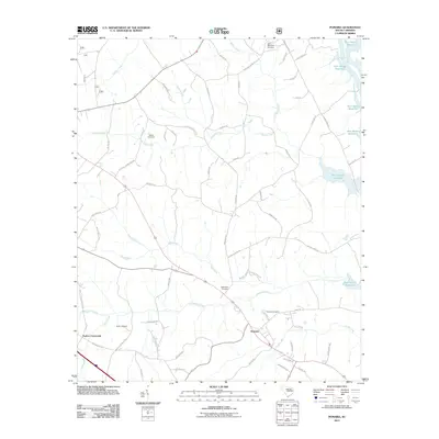 2011 Pomaria2011 Print · USGSNewberry County in the early twenty-first century maintains its rural character between the inland crossroads and the river. Genealogists can locate family landmarks like Stone Cemetery and Bethlehem Cemetery or trace the original paths of Crims Creek and Mud Creek.
 - 2011 Map of Blackstock, 2011 Print
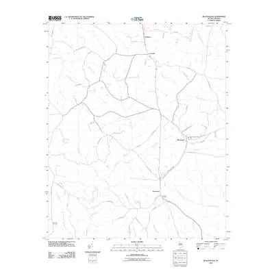 2011 Blackstock2011 Print · USGSThe rural crossroads of Fairfield and Chester Counties are detailed here in the early twenty-first century. Researchers can trace family history through local landmarks like Blackstock Cemetery, McKeown, and roads like Douglas School RD.
 - 2011 Map of Great Falls, 2011 Print
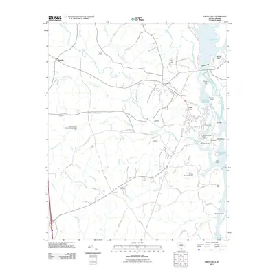 2011 Great Falls2011 Print · USGSThe Catawba River hydro-power network and rural Chester County communities are documented here in the early twenty-first century. Genealogists and historians can locate family burial sites at Mount Zion Cemetery and Bethesda Cemetery or trace industrial landmarks like the Dearborn-Great Falls Dam.
 - 2011 Map of Blythewood, 2011 Print
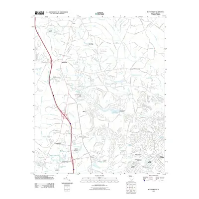 2011 Blythewood2011 Print · USGSThe northern Richland County countryside south of the Fairfield line is captured here as suburban growth meets long-standing rural communities. Researchers can trace family history through Browns Cemetery or locate landmarks like Langfords Crossroads and the Blythewood Lookout Tower.
 - 2011 Map of Longtown, 2011 Print
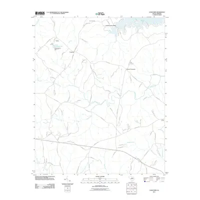 2011 Longtown2011 Print · USGSFairfield County’s rolling landscape and the shores of Wateree Lake are documented here during the early twenty-first century. Family history researchers can locate several key burial sites including Antioch Cemetery and Rock Hill Cemetery near Longtown.
 - 2011 Map of Liberty Hill, 2011 Print
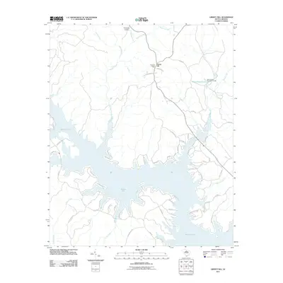 2011 Liberty Hill2011 Print · USGSLiberty Hill and the surrounding Kershaw County shoreline are captured here just over a decade ago as the area balanced its rural roots with lakeside growth. Researchers can trace local landmarks like the Summerville-Cunningham Cemetery, the Liberty Hill Lookout Tower, and the waters of Wateree Lake.
 - 2011 Map of Flint Hill, 2011 Print
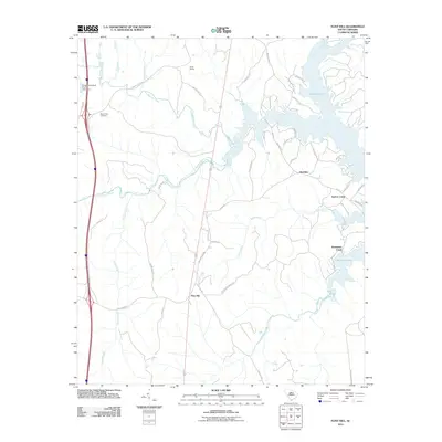 2011 Flint Hill2011 Print · USGSFairfield County’s rural ridges and lakeside settlements are documented here during the early twenty-first century. Researchers can trace land use near the Wateree Lake shoreline and locate local landmarks like Camp Welfare and Mount Zion Cemetery.
 - 2014 Map of Lebanon, 2014 Print
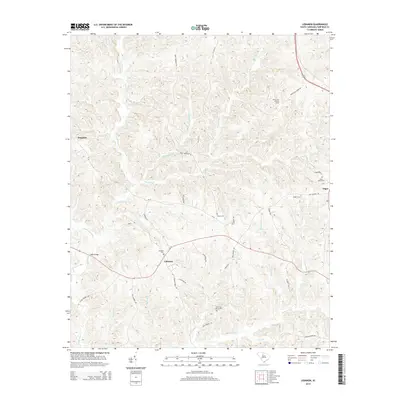 2014 Lebanon2014 Print · USGSFairfield County’s rural landscape is captured here in the early twenty-first century as modern roads trace historic settlement patterns. Researchers can locate ancestral sites like Old Stone Church Cem, the community of Lebanon, and landmarks like the White Oak Lookout Tower.
 - 2014 Map of Carlisle, 2014 Print
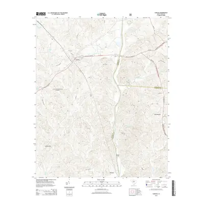 2014 Carlisle2014 Print · USGSUnion and Fairfield counties are documented here in the early 2010s, showing a landscape of national forest and river settlements. Genealogists can trace family burial sites like Hill Cem and Fish Dam Cem or locate the crossing at Fishdam Ford.
 - 2014 Map of Irmo NE, 2014 Print
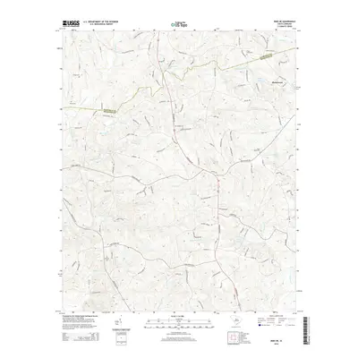 2014 Irmo NE2014 Print · USGSBlythewood and the surrounding Richland County countryside are captured here in the early twenty-first century. Researchers can trace local heritage through numerous burial sites like Beulah Cem and Saint Marks Cem, or locate family landmarks along Persimmon Fork and Nipper Cr.
 - 2014 Map of Stover, 2014 Print
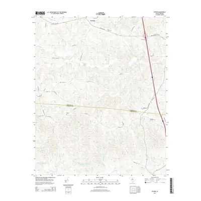 2014 Stover2014 Print · USGSThe borderlands of Chester and Fairfield counties are detailed here in the early twenty-first century, showing a landscape of traditional crossroads and managed watersheds. Researchers can locate ancestral sites like Gold Mine Cem or trace rural routes near Wellridge and Stover.
Showing maps 1-25 of 63
Top cities of Fairfield County
Frequently asked questions
- What are the different types of historical maps available for Fairfield County?
- What is the oldest map of Fairfield County?
- Where can I purchase historical maps of Fairfield County for my home or office?
- Where can I download high-res historical maps of Fairfield County?
- Are there historical topographic maps available for Fairfield County?
- Is there historical aerial imagery available for Fairfield County?
- Where are historical maps of Fairfield County sourced from?