2020s Maps of Horry County, South Carolina
Explore 61 historic maps of Horry County from the 2020s. These maps offer a rare glimpse into what life looked like during the 2020s — showing old roads, neighborhoods, homes, and landmarks that have changed or disappeared over time.
Whether you're researching your family's past, planning a metal detecting trip, or studying how Horry County's landscape evolved across the 2020s, these high-resolution maps are a powerful tool for exploring the history of this region.
- Focus on a specific era: All maps on this page are from the 2020s, giving you a focused view of this time period.
- See what’s changed: Compare century-old streets, trails, and buildings to today's modern landscape using overlays and satellite layers.
- Research with precision: Use these maps for genealogy, historical research, land use analysis, or educational projects.
- View, download, or print: Maps are fully viewable online in high resolution, and can be downloaded or printed for your own records.
Start exploring Horry County's history through authentic maps from the 2020s. This is your window into the past.
Horry County, SC maps
(61)- 2020 Map of Lake View, 2020 Print
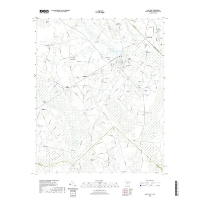 2020 Lake View2020 Print · USGSThe South Carolina and North Carolina borderlands come into focus in this recent survey of Dillon County. Researchers can trace family history through numerous rural burial sites like Bear Swamp Baptist Church Cem or find old crossroads at Kemper and High Hill Crossroads.
 - 2020 Map of Galivants Ferry, 2020 Print
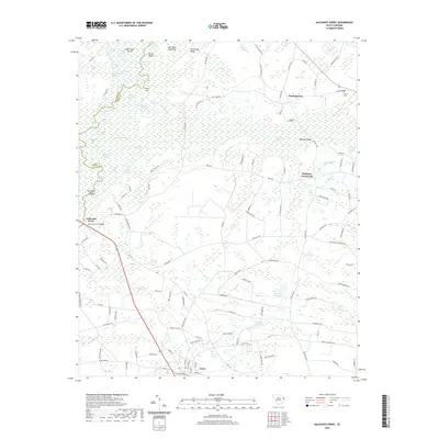 2020 Galivants Ferry2020 Print · USGSThe Little Pee Dee River basin in the modern era remains a complex landscape of blackwater swamps and rural Carolina junctions. Genealogists and researchers can trace local family landmarks and crossings like Galivants Ferry, Ketchuptown, and Gerald Cem.
 - 2020 Map of Nichols, 2020 Print
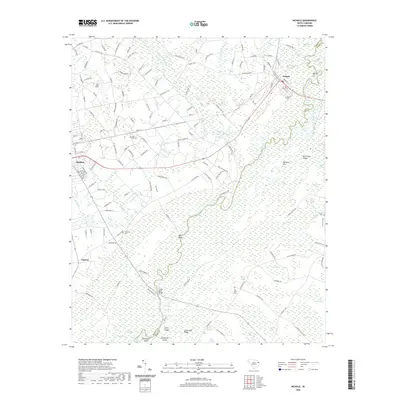 2020 Nichols2020 Print · USGSMarion and Horry counties are documented here in 2020, focusing on the river junctions near Nichols. Genealogists can locate several burial grounds, including Clay Hill Cemetery and Stroud Cemetery, alongside landmarks like Red Bluff and the Big Sand Hills.
 - 2020 Map of Duford, 2020 Print
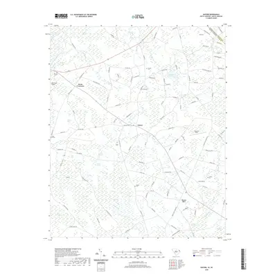 2020 Duford2020 Print · USGSCoastal South Carolina farming life near the North Carolina border is documented here in the early twenty-first century. Genealogists can locate family landmarks like Jernigan Cem and Granger Cem among the distinctive wetlands of Cartwheel Bay and Big Bay.
 - 2020 Map of Centenary, 2020 Print
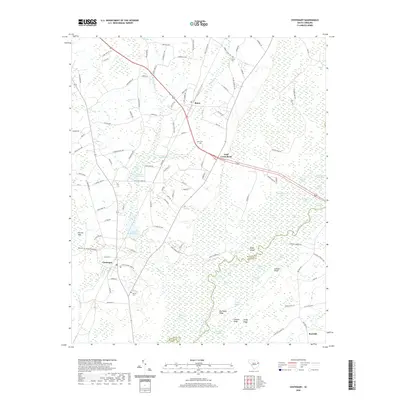 2020 Centenary2020 Print · USGSCoastal plain agriculture and riverine wetlands converge in this Marion County study from the early twenty-first century. Genealogists and local historians can locate rural burial sites like Palmer Cem and trace the legacy of milling at Leggett Mill Pond.
 - 2020 Map of Bayboro, 2020 Print
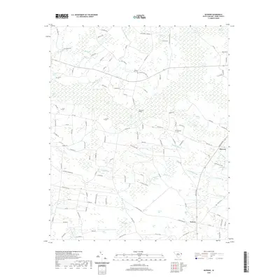 2020 Bayboro2020 Print · USGSHorry County's coastal plain is mapped here in the modern era, showing a landscape defined by its unique Carolina bays and wetlands. Researchers can trace family history at Graham Cem or Strickland Cem and locate crossings like Strickland Bridge.
 - 2020 Map of Myrtle Beach, 2020 Print
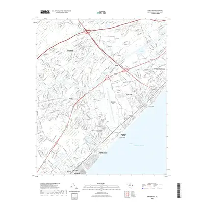 2020 Myrtle Beach2020 Print · USGSThe Grand Strand coastline comes into sharp focus during this period of extensive coastal development. Researchers can trace the layout of Myrtle Beach and Surfside Beach, or locate landmarks like the Myrtle Beach International Airport and Pine Island.
 - 2020 Map of Surfside Beach, 2020 Print
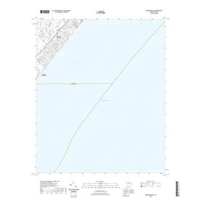 2020 Surfside Beach2020 Print · USGSThe Grand Strand coastline is captured in this 2020 survey, documenting the modern layout of these prominent South Carolina resort communities. Researchers can trace the developed streets of Surfside Beach and Garden City Beach alongside local landmarks like Dogwood Lake and Big Swamp.
 - 2020 Map of Shell, 2020 Print
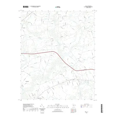 2020 Shell2020 Print · USGSHorry County wetlands and rural settlements north of Conway are captured in this recent survey. Researchers can trace family history through several community landmarks including New Home Church Cem, Hickory Grove, and Fox Branch Cem.
 - 2020 Map of Ocean Forest, 2020 Print
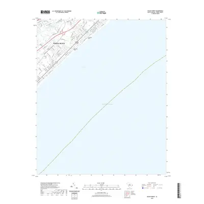 2020 Ocean Forest2020 Print · USGSMyrtle Beach and Ocean Forest are shown at the height of modern coastal development in the 2020s. Genealogists and local historians can trace the neighborhood growth between the Intracoastal Waterway and tidal features like Canepatch Swash and Deephead Swash.
 - 2020 Map of Brittons Neck, 2020 Print
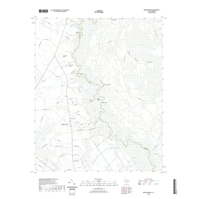 2020 Brittons Neck2020 Print · USGSBrittons Neck and the surrounding Carolina wetlands are captured here in the contemporary era. Researchers can trace the winding Little Pee Dee River past landmarks like Upper Dog Bluff, Indigo Island, and Giles Bay.
 - 2020 Map of Yauhannah, 2020 Print
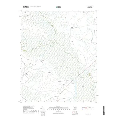 2020 Yauhannah2020 Print · USGSThe riverine corridor of the Great Pee Dee comes alive in this contemporary survey of the Georgetown and Horry county border. Genealogists and local historians can trace legacy sites from Britton Neck to the Yauhannah Cem and the crossroads at Petersfield.
 - 2020 Map of Plantersville, 2020 Print
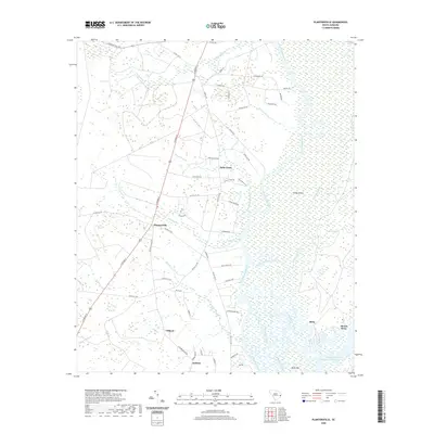 2020 Plantersville2020 Print · USGSThe Lowcountry river system and its historic settlements are documented here in the early twenty-first century. Genealogists and local historians can trace family-named areas like Belin and Gilliard or the unique geography of Sandy Island.
 - 2020 Map of Loris, 2020 Print
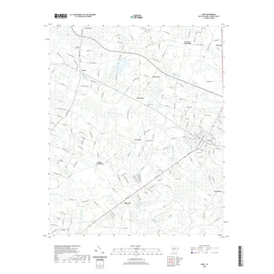 2020 Loris2020 Print · USGSHorry County at the start of the 2020s shows a landscape still defined by its agricultural roots and extensive wetlands. Researchers can trace local lineage through Harrelson Cemetery or explore small centers like Loris and Sarvis Crossroads.
 - 2020 Map of Dongola, 2020 Print
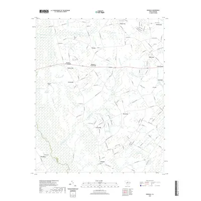 2020 Dongola2020 Print · USGSHorry County's lowlands and blackwater basins are captured here in the years following the millennium. Researchers can trace rural lineages through local landmarks like Old Antioch Cem and the small settlements of Dongola and Singleton Crossroads.
 - 2020 Map of Horry, 2020 Print
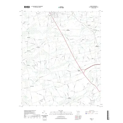 2020 Horry2020 Print · USGSHorry County’s coastal plain landscape is captured here in the early twenty-first century, centered on the town of Aynor. Researchers can trace the rural evolution of settlements like Jordanville and Dog Bluff among the drainage basins of Palmetto Swamp.
 - 2020 Map of Adrian, 2020 Print
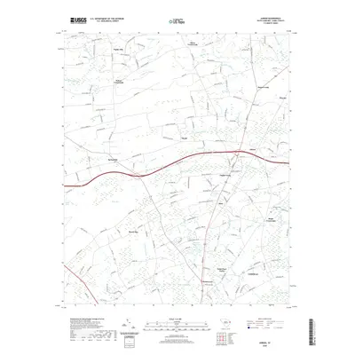 2020 Adrian2020 Print · USGSCovers Horry County, including Conway, Privetts, and other nearby areas
 - 2020 Map of Little River, 2020 Print
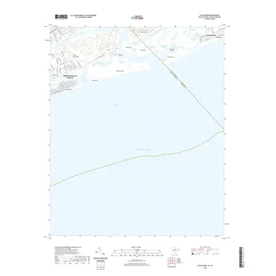 2020 Little River2020 Print · USGSThe Carolina coast near the border comes into focus in the early twenty-first century, showing the complex inlets and sounds of the Grand Strand. Researchers can trace land use from coastal landmarks like The Battery to established resort areas like North Myrtle Beach and Sunset Beach.
 - 2020 Map of Hand, 2020 Print
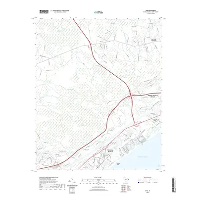 2020 Hand2020 Print · USGSCoastal development meets the expansive Lowcountry wetlands of Horry County in the years before the recent decade. Researchers can trace the path of the Intracoastal Waterway or locate local landmarks like Star Bluff Crossroads and Singleton Swash.
 - 2020 Map of Longs, 2020 Print
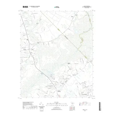 2020 Longs2020 Print · USGSCoastal South Carolina meets the North Carolina border in this recent survey of the Waccamaw River valley. Genealogists and local historians can trace family sites at Mount Calvery Cem and Bellamy Cem, or locate the historic crossing at Worthams Ferry.
 - 2020 Map of Nixonville, 2020 Print
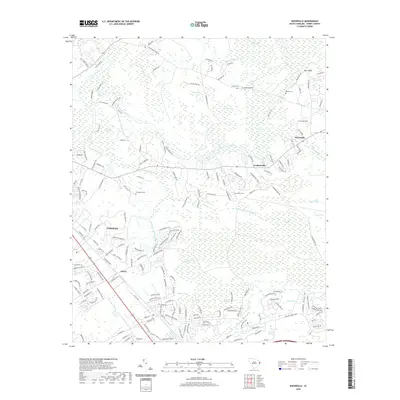 2020 Nixonville2020 Print · USGSCoastal South Carolina near the Waccamaw River reveals a landscape of historic family crossroads and unique Carolina Bays as it stood in 2020. Genealogists and local historians can locate Graham Cem, trace the outskirts of Conway, and explore the rural reaches of Nixonville.
 - 2020 Map of Hammond, 2020 Print
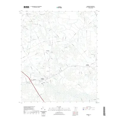 2020 Hammond2020 Print · USGSHorry County’s riverfront and crossroads communities are captured here in the modern era as the landscape maintains its traditional rural character. Genealogists and local historians can locate several family cemeteries such as Grainger Cem and Mount Leon Cem near the Waccamaw River.
 - 2020 Map of Wampee, 2020 Print
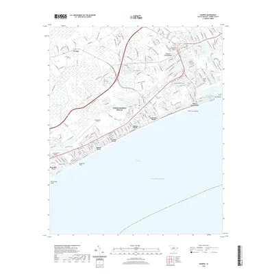 2020 Wampee2020 Print · USGSThe South Carolina coast near the North Carolina border comes alive in this survey of a modern resort landscape. Genealogists and researchers can trace the development of beachfront communities like Atlantic Beach and Crescent Beach or locate family sites at Forest Lawn Cem and Wampee.
 - 2020 Map of Bucksville, 2020 Print
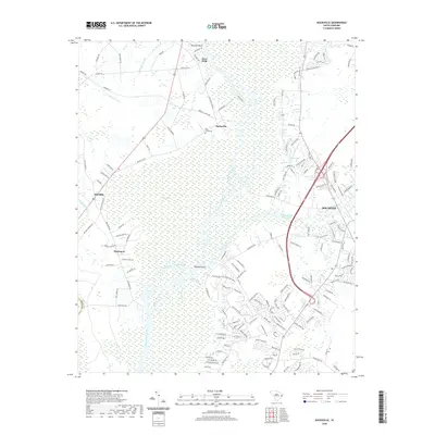 2020 Bucksville2020 Print · USGSHorry County’s riverine landscape is captured here in the contemporary era, where the Waccamaw River meets the modern Intracoastal Waterway. Local historians can trace family-named sites like Buck Graveyard or explore the riverfront layouts of Bucksville and Bucksport.
 - 2020 Map of Conway, 2020 Print
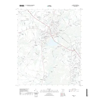 2020 Conway2020 Print · USGSCoastal South Carolina shows its modern face in this survey of Horry County at the turn of the decade. Researchers can trace the development of CONWAY and Red Hill while locating landmarks like Coastal Carolina University and Kingston Cem.
Showing maps 1-25 of 61
Top cities of Horry County
- Myrtle Beach historical maps
- Conway historical maps
- Carolina Forest historical maps
- North Myrtle Beach historical maps
- Surfside Beach historical maps
- Loris historical maps
See more
Frequently asked questions
- What are the different types of historical maps available for Horry County?
- What is the oldest map of Horry County?
- Where can I purchase historical maps of Horry County for my home or office?
- Where can I download high-res historical maps of Horry County?
- Are there historical topographic maps available for Horry County?
- Is there historical aerial imagery available for Horry County?
- Where are historical maps of Horry County sourced from?