2000s (21st Century) Maps of Kershaw County, South Carolina
Explore 115 historic maps of Kershaw County from the 2000s (21st Century). These maps offer a rare glimpse into what life looked like during the 2000s — showing old roads, neighborhoods, homes, and landmarks that have changed or disappeared over time.
Whether you're researching your family's past, planning a metal detecting trip, or studying how Kershaw County's landscape evolved across the 2000s, these high-resolution maps are a powerful tool for exploring the history of this region.
- Focus on a specific era: All maps on this page are from the 2000s, giving you a focused view of this time period.
- See what’s changed: Compare century-old streets, trails, and buildings to today's modern landscape using overlays and satellite layers.
- Research with precision: Use these maps for genealogy, historical research, land use analysis, or educational projects.
- View, download, or print: Maps are fully viewable online in high resolution, and can be downloaded or printed for your own records.
Start exploring Kershaw County's history through authentic maps from the 2000s. This is your window into the past.
Kershaw County, SC maps
(115)- 2011 Map of Lugoff, 2011 Print
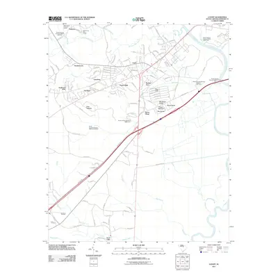 2011 Lugoff2011 Print · USGSModern Lugoff and its surrounding Kershaw County subdivisions are captured here in the early twenty-first century. Genealogists and local historians can locate Saint Pauls Cemetery, trace the path of Gum Swamp, and explore established neighborhoods like Mayfield Acres and Green Valley.
 - 2011 Map of Leesburg, 2011 Print
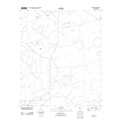 2011 Leesburg2011 Print · USGSRichland County at the start of the decade shows a landscape of creek-side settlements and rural burial grounds. Genealogists and local historians can locate Mount Prospect Cemetery, the waters of English Pond, and the namesake village of Leesburg.
 - 2011 Map of Lucknow, 2011 Print
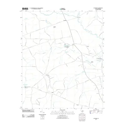 2011 Lucknow2011 Print · USGSIn the rural lowlands of Lee County during the early twenty-first century, traditional South Carolina settlements like Lucknow and Tillersville remain centered around old travel routes. Genealogists can trace family landmarks and burying grounds like Turkey Creek Cemetery and Mount Zion Cemetery among the many creeks and millponds.
 - 2011 Map of Kershaw, 2011 Print
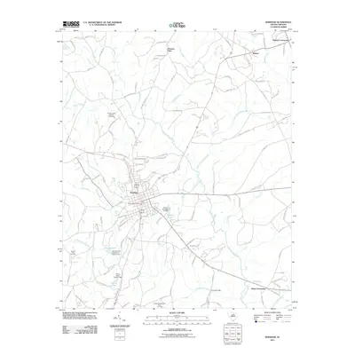 2011 Kershaw2011 Print · USGSIn the South Carolina upcountry during the early twenty-first century, the area around Kershaw shows a landscape of rural crossroads and managed waterways. Researchers can locate Laurel Hill Cemetery, trace the path of Haile Gold Mine Creek, or find the Kershaw Post Office.
 - 2011 Map of Rembert, 2011 Print
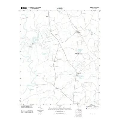 2011 Rembert2011 Print · USGSThe Wateree River basin in the early 2000s preserves a landscape of traditional mill sites and historic ferry crossings. Researchers can trace rural lineages through settlements like Hagood and Horatio or locate historic landmarks such as Dinkins Mill and Ancrum Ferry.
 - 2011 Map of Spring Hill, 2011 Print
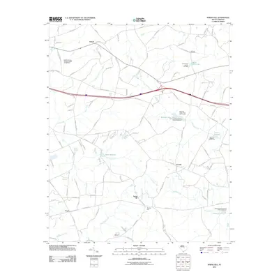 2011 Spring Hill2011 Print · USGSThe rural landscape near Kershaw County in the early 2010s reveals a community centered on local millponds and creek systems. Researchers can trace family history at McCaskill Cemetery or locate old water sites like Shiver Millpond and Corbitts Millpond.
 - 2011 Map of Rabon Crossroads, 2011 Print
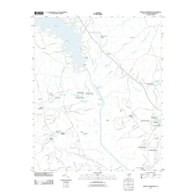 2011 Rabon Crossroads2011 Print · USGSNorth of Camden in the early 2010s, this region shows a landscape defined by the Wateree River and a transition from rural farms to residential pockets. Researchers can trace family sites like Saint Matthews Cemetery or explore landmarks such as Springdale Race Course and Rabon Crossroads.
 - 2011 Map of Heath Springs, 2011 Print
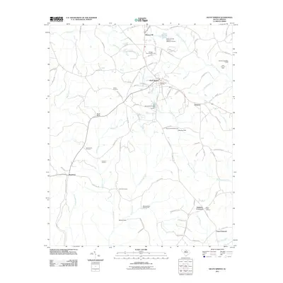 2011 Heath Springs2011 Print · USGSLancaster County at the start of the 2010s reveals a landscape of rural crossroads and significant historical sites. Genealogists and historians can trace family roots through Mobley Cemetery or explore the Revolutionary War context near the Hanging Rock Battleground.
 - 2011 Map of Bethune, 2011 Print
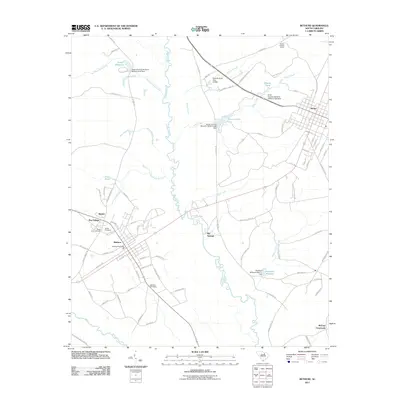 2011 Bethune2011 Print · USGSIn the early twenty-first century, the Lynches River corridor between Bethune and McBee retained its distinct rural character. Researchers can trace family history at Sandy Level Cemetery or Brannon Cemetery and locate local landmarks like the McBee Lookout Tower.
 - 2011 Map of Camden South, 2011 Print
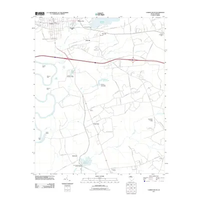 2011 Camden South2011 Print · USGSThe outskirts of Camden and the South Carolina Midlands are shown here at the turn of the millennium. Researchers can trace family history through the Quaker Cemetery and Jewish Cemetery or locate old industrial sites like Hermitage Mill and Boykin Mill Pond.
 - 2011 Map of Bethune NW, 2011 Print
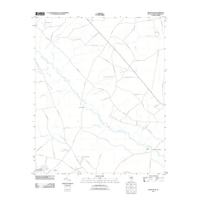 2011 Bethune NW2011 Print · USGSKershaw County remains a landscape of river bends and rural crossroads in the early 2000s. Genealogists and local historians can trace the positions of the DuBose Cemetery, Scotch Cemetery, and old river crossings like Porter Bridge.
 - 2011 Map of Angelus, 2011 Print
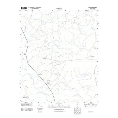 2011 Angelus2011 Print · USGSThe rural communities of Angelus and Catarrh are captured here in the early twenty-first century, anchored by the Lynches River and numerous family-named roads. Genealogists and local historians can trace historical crossing points like Evans Ford and significant landmarks such as Hortons Pond and Hamburg Lake.
 - 2011 Map of Messers Pond, 2011 Print
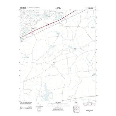 2011 Messers Pond2011 Print · USGSIn the early 21st century, this Richland County landscape shows a unique network of residential growth woven around managed waterways. Genealogists and researchers can locate Salem Cemetery, Bells Camp, and prominent landmarks like the Weir Tower.
 - 2011 Map of Cassatt, 2011 Print
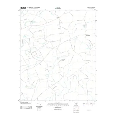 2011 Cassatt2011 Print · USGSThe rural landscapes of Kershaw County are seen here in the early twenty-first century, centered on the community of Cassatt. Researchers can trace old family names and water-powered sites through Ratcliff Millpond, Llewellyn Millpond, and Lockard Cemetery.
 - 2011 Map of Camden North, 2011 Print
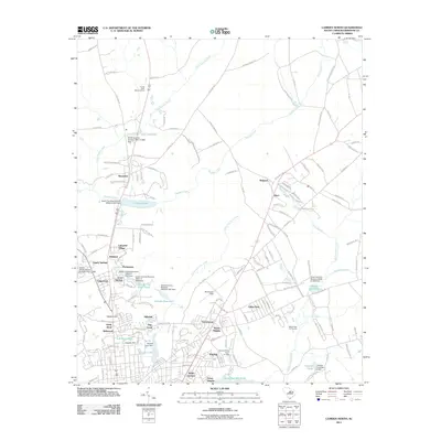 2011 Camden North2011 Print · USGSThe northern reaches of Camden come into focus in the early twenty-first century as suburban growth meets established watermarks. Researchers can trace local lineage across neighborhoods like Kirkwood and Fairfax or locate landmarks such as Kendall Lake and Woodward Field.
 - 2011 Map of Elgin, 2011 Print
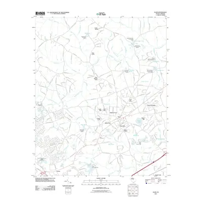 2011 Elgin2011 Print · USGSRichland County's residential and rural landscape comes into focus during this early twenty-first century period. Researchers can trace local development through neighborhood names like Tupelo Hills and Blaney West or locate the historic Bethel Campground.
 - 2011 Map of Westville, 2011 Print
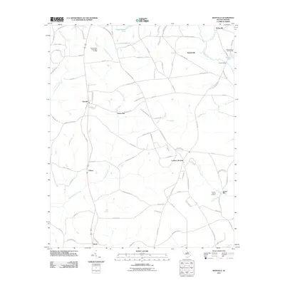 2011 Westville2011 Print · USGSKershaw County at the start of the 2010s reveals a landscape still deeply connected to its water-powered history and rural roots. Local historians can trace early industry and family lineages through sites like Barfield Mill, McLeans Branch Cemetery, and the Lockhart Oil Field.
 - 2011 Map of Longtown, 2011 Print
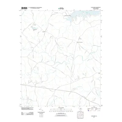 2011 Longtown2011 Print · USGSFairfield County’s rolling landscape and the shores of Wateree Lake are documented here during the early twenty-first century. Family history researchers can locate several key burial sites including Antioch Cemetery and Rock Hill Cemetery near Longtown.
 - 2011 Map of White Oak Creek, 2011 Print
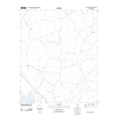 2011 White Oak Creek2011 Print · USGSKershaw County rural life and the banks of the Wateree River are captured here in the early twenty-first century. Local historians can trace family roots at Beaver Creek Cemetery or locate the historic river crossing at Tom Jones Ford.
 - 2011 Map of Mount Pisgah, 2011 Print
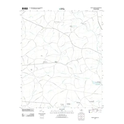 2011 Mount Pisgah2011 Print · USGSMount Pisgah and the surrounding Kershaw County countryside are shown here in the early twenty-first century as a landscape of small settlements and managed waters. Researchers can locate the Stroud Cemetery, the Bermuda High Gliderport, and the historic site of Minton Mill.
 - 2011 Map of Liberty Hill, 2011 Print
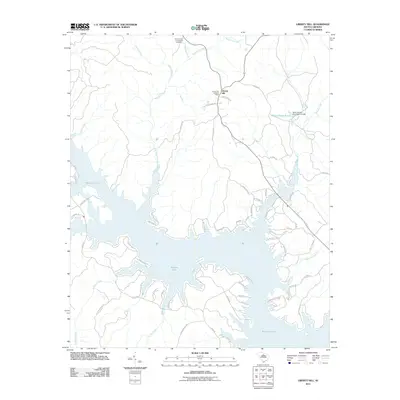 2011 Liberty Hill2011 Print · USGSLiberty Hill and the surrounding Kershaw County shoreline are captured here just over a decade ago as the area balanced its rural roots with lakeside growth. Researchers can trace local landmarks like the Summerville-Cunningham Cemetery, the Liberty Hill Lookout Tower, and the waters of Wateree Lake.
 - 2011 Map of Lancaster SE, 2011 Print
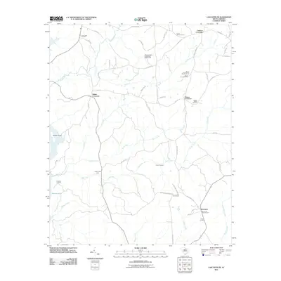 2011 Lancaster SE2011 Print · USGSThe rural crossroads of Lancaster County are captured here in the early twenty-first century, showing a landscape defined by longstanding family landmarks and church grounds. Researchers can trace ancestral roots through several sites like Warrens Old Muster Ground, Mount Carmel Camp Meeting Ground, and the Mackey Walker Cemetery.
 - 2011 Map of Flint Hill, 2011 Print
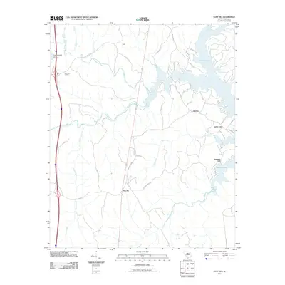 2011 Flint Hill2011 Print · USGSFairfield County’s rural ridges and lakeside settlements are documented here during the early twenty-first century. Researchers can trace land use near the Wateree Lake shoreline and locate local landmarks like Camp Welfare and Mount Zion Cemetery.
 - 2014 Map of White Oak Creek, 2014 Print
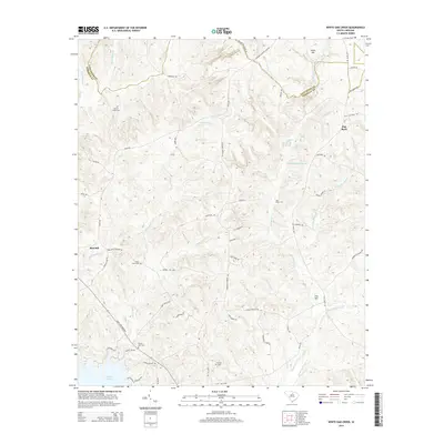 2014 White Oak Creek2014 Print · USGSThe Lancaster and Kershaw county border comes into focus in the early twenty-first century, showing a landscape of traditional family settlements and new shoreline growth. Genealogists can locate several historic burial sites, including Saint Johns Cem, and landmarks like Little Barfield Millpond or the Tom Jones Ford.
 - 2014 Map of Messers Pond, 2014 Print
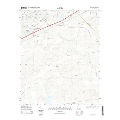 2014 Messers Pond2014 Print · USGSRichland and Kershaw counties are shown here in the early twenty-first century as suburban growth meets military reservation land. Genealogists can trace family sites at Salem Cem and Bardell Graveyard or locate landmarks like Chimney Ridge and Westons Pond.
Showing maps 1-25 of 115
Top cities of Kershaw County
Frequently asked questions
- What are the different types of historical maps available for Kershaw County?
- What is the oldest map of Kershaw County?
- Where can I purchase historical maps of Kershaw County for my home or office?
- Where can I download high-res historical maps of Kershaw County?
- Are there historical topographic maps available for Kershaw County?
- Is there historical aerial imagery available for Kershaw County?
- Where are historical maps of Kershaw County sourced from?