2020s Maps of Kershaw County, South Carolina
Explore 46 historic maps of Kershaw County from the 2020s. These maps offer a rare glimpse into what life looked like during the 2020s — showing old roads, neighborhoods, homes, and landmarks that have changed or disappeared over time.
Whether you're researching your family's past, planning a metal detecting trip, or studying how Kershaw County's landscape evolved across the 2020s, these high-resolution maps are a powerful tool for exploring the history of this region.
- Focus on a specific era: All maps on this page are from the 2020s, giving you a focused view of this time period.
- See what’s changed: Compare century-old streets, trails, and buildings to today's modern landscape using overlays and satellite layers.
- Research with precision: Use these maps for genealogy, historical research, land use analysis, or educational projects.
- View, download, or print: Maps are fully viewable online in high resolution, and can be downloaded or printed for your own records.
Start exploring Kershaw County's history through authentic maps from the 2020s. This is your window into the past.
Kershaw County, SC maps
(46)- 2020 Map of Liberty Hill, 2020 Print
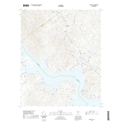 2020 Liberty Hill2020 Print · USGSThe Kershaw County uplands and the winding fingers of Wateree Lake are documented in this contemporary survey. Researchers can locate family landmarks like the Summerville - Cunningham Cem, New Grove Cem, and Mineral Spring.
 - 2020 Map of White Oak Creek, 2020 Print
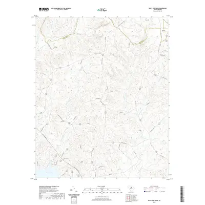 2020 White Oak Creek2020 Print · USGSKershaw and Lancaster counties meet along the waters of Wateree Lake in this 2020 study of the South Carolina Piedmont. Trace local history through family-named roads and rural burial grounds like Smyrlies Cemetery and Beaver Creek Cemetery.
 - 2020 Map of Elgin, 2020 Print
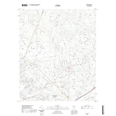 2020 Elgin2020 Print · USGSElgin and the surrounding Richland-Kershaw county line are captured here in the contemporary era of suburban growth and rural transition. Researchers can trace local landmarks and family-named water features like Lotts Mill Pond, Curetons Pond, and R W Cokers Pond.
 - 2020 Map of Flint Hill, 2020 Print
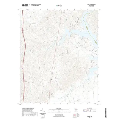 2020 Flint Hill2020 Print · USGSFairfield County’s lakeside and rural communities come into focus in this recent survey of the Wateree basin. Genealogists and local historians can trace family locations near Mount Zion Cem or follow old routes like Ladd's Ferry Rd and Camp Welfare Rd.
 - 2020 Map of Longtown, 2020 Print
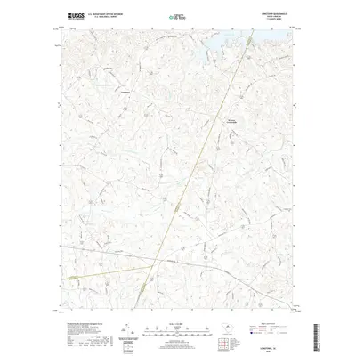 2020 Longtown2020 Print · USGSThe rural uplands of Fairfield County are captured here as they appeared in 2020, centered on the historic community of Longtown. Genealogists and local historians can trace family locations through numerous sites like Rock Hill Cemetery, Warren Crossroads, and Antioch Cemetery.
 - 2020 Map of Camden North, 2020 Print
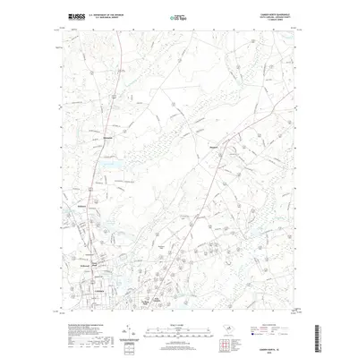 2020 Camden North2020 Print · USGSNorth of Camden in the early twenty-first century, this landscape shows a dense network of springs and reservoirs among growing residential districts. Researchers can trace the layout of Woodward Field or locate historic points like Hobkirk Hill and Jumelle Spring.
 - 2020 Map of Bethune, 2020 Print
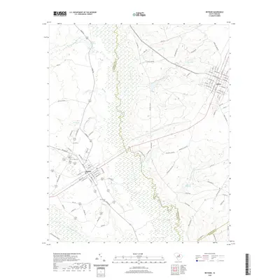 2020 Bethune2020 Print · USGSThe Kershaw and Chesterfield county line comes alive in the late twenty-teens as it follows the winding Lynches River and its numerous tributaries. Family historians can trace local roots at Sandy Level Cem, Brannon Cem, and old industrial sites like Blackwell Millpond.
 - 2020 Map of Leesburg, 2020 Print
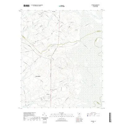 2020 Leesburg2020 Print · USGSRichland County at the start of the 2020s shows a landscape of strategic military installations and expansive wetlands along the Wateree River. Genealogists and local historians can trace family locations near Pine Grove Cem or the settlements of Leesburg and McCaskill.
 - 2020 Map of Lancaster SE, 2020 Print
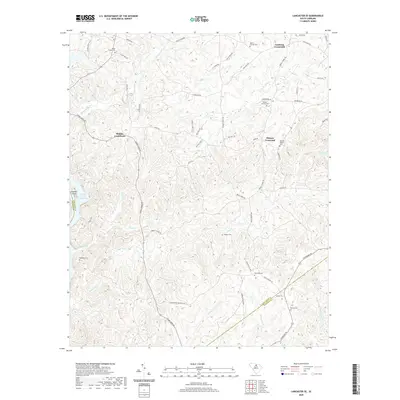 2020 Lancaster SE2020 Print · USGSThe rural Piedmont region of Lancaster County is captured here in the contemporary era, centered on historic intersections. Genealogists can trace family landmarks and burial sites including Mackey-Walker Cem, Hudson Cem, and Blakley Crossroads.
 - 2020 Map of Camden South, 2020 Print
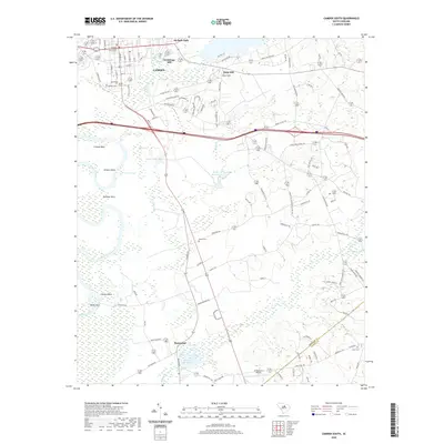 2020 Camden South2020 Print · USGSCamden and the southern Wateree River valley are shown here in modern detail, capturing the intersection of town life and river bottomlands. Genealogists can locate family sites at the Quaker Cem, Boykin Cem, and the historic Hermitage Mill area.
 - 2020 Map of Westville, 2020 Print
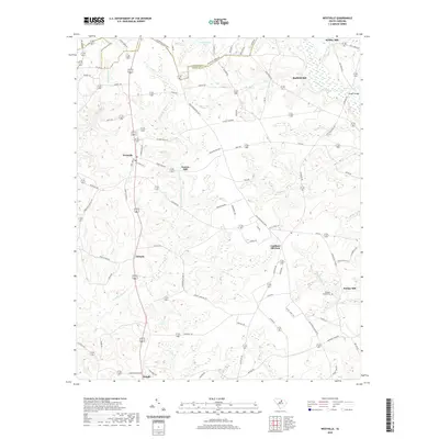 2020 Westville2020 Print · USGSKershaw County at the start of the 2020s remains a landscape defined by its creek-side heritage and rural crossroads. Researchers can trace historical milling sites like Gaston Mill and Barfield Mill or locate family landmarks such as McLeans Branch Cem.
 - 2020 Map of Kershaw, 2020 Print
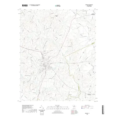 2020 Kershaw2020 Print · USGSThe Lancaster and Kershaw county line bisects the town of Kershaw in this modern survey of the South Carolina Piedmont. Local researchers can trace family landmarks like Hanging Rock Church, Laurel Hill Cem, and the historic crossroads at Abney Crossroads.
 - 2020 Map of Spring Hill, 2020 Print
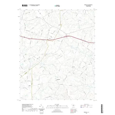 2020 Spring Hill2020 Print · USGSThe rural borderlands of Kershaw and Sumter counties come alive in this recent survey of a landscape still shaped by its historic waters. Genealogists can trace family roots near McCaskill Cem or the waters of Shiver Millpond and Corbetts Millpond.
 - 2020 Map of Lugoff, 2020 Print
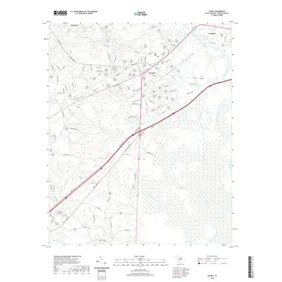 2020 Lugoff2020 Print · USGSInland Kershaw County transitions from the sandy pine woods into the wetlands of the Wateree River during the early twenty-first century. Researchers can trace local lineages through Saint Pauls Cem and explore the rural character of Kellytown and Lugoff.
 - 2020 Map of Messers Pond, 2020 Print
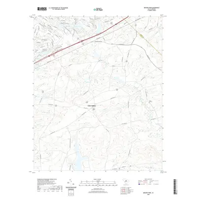 2020 Messers Pond2020 Print · USGSThe outskirts of Columbia and the Fort Jackson area are shown here during their modern expansion. Genealogists and local historians can trace family burial sites at Mount Pleasant Cem or follow the waters of Wise Marsh and Old Barstow Pond.
 - 2020 Map of Rembert, 2020 Print
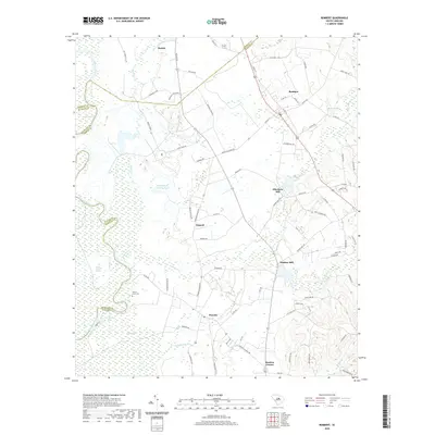 2020 Rembert2020 Print · USGSThe South Carolina coastal plain near Horatio and Boykin comes into focus during this contemporary period, showing a landscape defined by the Wateree River. Genealogists and historians can trace local landmarks like Willow Grove Cem, Ellerbees Mill, and Dinkins Mill.
 - 2020 Map of Bethune NW, 2020 Print
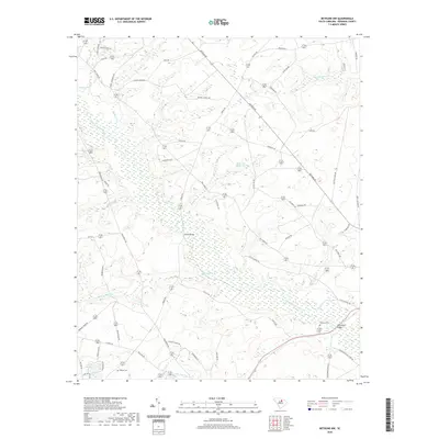 2020 Bethune NW2020 Print · USGSKershaw County at the end of the 2010s remains a landscape of winding creeks and quiet rural crossings. Genealogists and local historians can trace family locations near Scotch Cem, Porter Bridge, and the waters of Bakers Millpond.
 - 2020 Map of Lucknow, 2020 Print
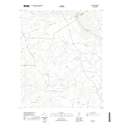 2020 Lucknow2020 Print · USGSThe rural borderlands of Lee and Kershaw counties come into focus in this recent survey of the Carolina midlands. Genealogists and local historians can trace family roots through several landmarks including Lucknow, Tillers Bridge, and Bethany Cem.
 - 2020 Map of Heath Springs, 2020 Print
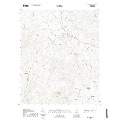 2020 Heath Springs2020 Print · USGSHeath Springs and its surrounding rural crossroads appear here in detail during the early twenty-first century. Genealogists and historians can locate legacy burial sites like Mobley Cem and trace the paths to landmarks such as Anvil Rock and Hanging Rock.
 - 2020 Map of Rabon Crossroads, 2020 Print
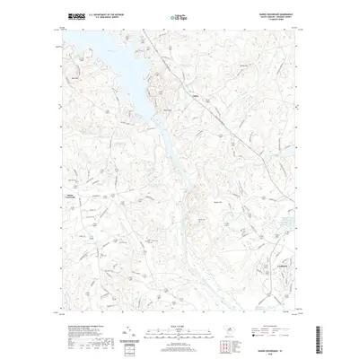 2020 Rabon Crossroads2020 Print · USGSKershaw County rural life comes into focus in this contemporary survey of the area north of Camden. Local historians can trace old community ties through numerous burial sites like Saint Matthews Cem and the small settlement at Rabon Crossroads.
 - 2020 Map of Cassatt, 2020 Print
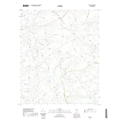 2020 Cassatt2020 Print · USGSThis Kershaw County community is mapped here in the modern era, revealing a landscape defined by historic water power and early travel routes. Researchers can trace the heritage of local milling at Llewellyn Millpond or follow the path of the Old Stagecoach Road.
 - 2020 Map of Angelus, 2020 Print
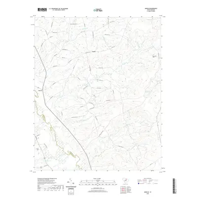 2020 Angelus2020 Print · USGSThe rural communities of Chesterfield and Kershaw Counties are mapped here in the modern era, revealing a landscape shaped by the Lynches River and numerous local tributaries. Genealogists and historians can trace family-named routes like Daddy Hendrix Ln and locate landmarks such as Hortons Pond or the settlement of Angelus.
 - 2020 Map of Mount Pisgah, 2020 Print
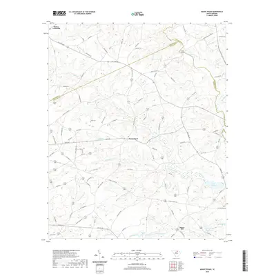 2020 Mount Pisgah2020 Print · USGSThe rural borderlands of Kershaw and Lancaster counties are detailed here in the early twenty-first century. Genealogists and local historians can trace family-named sites and landmarks like Stroud Cem, the crossing at Miller Bridge, and the community of Mount Pisgah.
 - 2024 Map of Cassatt, 2024 Print
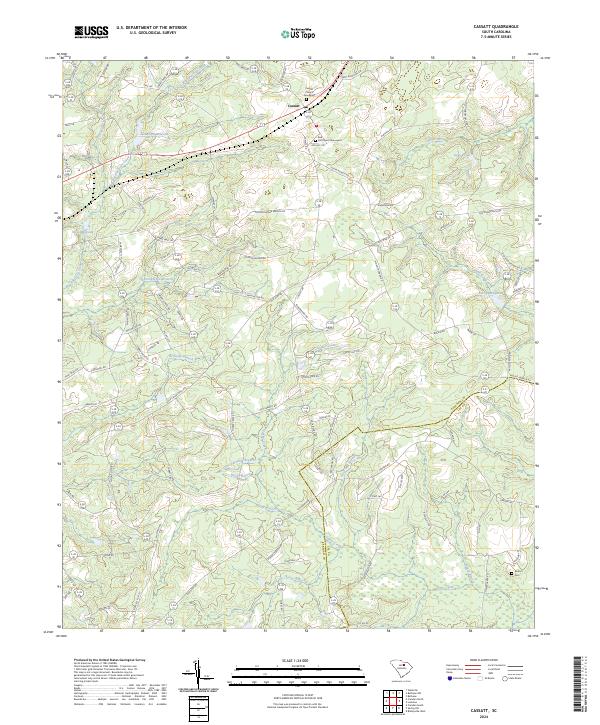 2024 Cassatt2024 Print · USGSThe community of Cassatt and the surrounding Sandhills region are documented here in the early twenty-first century. Researchers can trace family history at the Cassatt Church Graveyard or explore the drainage patterns of Big Pine Tree Creek and Llewellyn Millpond.
 - 2024 Map of Mount Pisgah, 2024 Print
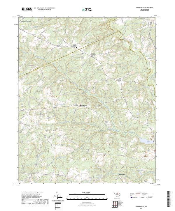 2024 Mount Pisgah2024 Print · USGSMount Pisgah and its neighboring counties are shown here in recent detail, capturing a rural South Carolina landscape defined by the Lynches River and Buffalo Creek. Genealogists can trace family landmarks at Stroud Cem, Minton Mill, and Bethel Church Cem.
Showing maps 1-25 of 46
Top cities of Kershaw County
Frequently asked questions
- What are the different types of historical maps available for Kershaw County?
- What is the oldest map of Kershaw County?
- Where can I purchase historical maps of Kershaw County for my home or office?
- Where can I download high-res historical maps of Kershaw County?
- Are there historical topographic maps available for Kershaw County?
- Is there historical aerial imagery available for Kershaw County?
- Where are historical maps of Kershaw County sourced from?