Old Maps of Clinton, South Carolina for Academic Research
Study the evolution of Clinton with 31 high-resolution historic maps. Whether you're teaching, researching, or modeling changes in land use, these maps provide essential visual documentation of urban, environmental, and geographic change.
- Analyze long-term change: Track patterns in development, transportation, and natural features.
- Ideal for environmental or urban studies: Support academic projects with primary historical map data.
- Use in the classroom or lab: Educators and researchers rely on these maps to bring historical context to life.
These maps are a powerful tool for teaching, research, and visualizing how Clinton has changed over the decades.
Clinton, SC maps
(31)- 1941 Map of Spartanburg
 1941 Spartanburg1941 Print · USGSSouth Carolina’s Piedmont and Sandhills regions are shown here during the mid-century peak of the rail era. Researchers can trace the sprawling Fort Jackson Military Reservation and the industrial growth of hubs like Spartanburg and Rock Hill.
 - 1953 Map of Spartanburg, 1966 Print
 1953 Spartanburg1966 Print · USGSMid-century South Carolina comes into focus through this survey of the Piedmont and the Sand Hills at a time of significant reservoir expansion. Researchers can trace the legacy of industrial transit and resource extraction from the Haile Gold Mine to the rail hubs of the Seaboard Air Line.4 unique versions available
 - 1960 Map of Spartanburg
 1960 Spartanburg1960 Print · USGSThe South Carolina Piedmont and North Carolina borderlands come alive in this mid-century survey of the region between Spartanburg and Columbia. Researchers can trace the Seaboard Air Line railroad and explore landmarks like Anderson Quarry, Lake Murray, and Mount Croghan.2 unique versions available
 - 1963 Map of Spartanburg
 1963 Spartanburg1963 Print · USGSMid-century South Carolina comes alive in this survey, showing the rail-linked corridor between the Upstate and the Midlands. Genealogists can trace family lands near old hubs like Union and Lancaster, or along the banks of the Broad River and Pee Dee River.
 - 1964 Map of Spartanburg
 1964 Spartanburg1964 Print · USGSMid-century South Carolina comes alive in this survey of the Piedmont and Upcountry, stretching from the Blue Ridge foothills to the Sandhills. Genealogists and historians can trace the rail-and-river economy through Monarch Mills, Glenn Springs, and the Southern Railway corridor.
 - 1969 Map of Ora, 1972 Print
 1969 Ora1972 Print · USGSLaurens County in the late sixties shows a transition from rural crossroads to industrializing outskirts. Genealogists can locate family landmarks like Sandy Springs Ch and Leesville Ch or trace the old SEABOARD COAST LINE railroad.2 unique versions available
 - 1969 Map of Philson Crossroads, 1973 Print
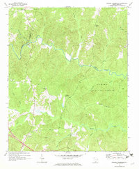 1969 Philson Crossroads1973 Print · USGSThe rural Upstate of South Carolina is captured here in the late sixties, where the borders of Spartanburg, Laurens, and Union counties meet. Researchers can trace family roots through several local congregations and burial sites, including Antioch Ch, Bethany Ch, and Macedonia Cem.2 unique versions available
 - 1971 Map of Joanna, 1973 Print
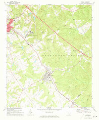 1971 Joanna1973 Print · USGSThe Laurens County countryside in the early seventies shows the intersection of textile mill culture and institutional growth. Genealogists and local historians can locate several rural landmarks including Hopewell Ch, Bethlehem Ch Cem, and the Whitten Village State Training School.
 - 1971 Map of Clinton, 1975 Print
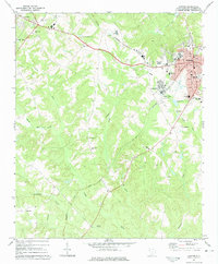 1971 Clinton1975 Print · USGSUpstate South Carolina textile and college life are captured here during a period of steady growth. Genealogists and local historians can trace the foundations of Clinton and Laurens, locating Presbyterian College, Lydia Mills, and rural churches like Rock Bridge Ch.
 - 1986 Map of Spartanburg
 1986 Spartanburg1986 Print · USGSUpstate South Carolina is captured here in the mid-1980s, showcasing the region's transition from a textile-driven rail corridor to a modern interstate hub. Researchers can trace the legacy of the SOUTHERN railroad through mill towns like Glendale or explore the wooded reaches of the Sumter National Forest.2 unique versions available
 - 1986 Map of Newberry
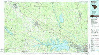 1986 Newberry1986 Print · USGSSouth Carolina's Piedmont region is shown here in the mid-1980s, revealing a landscape of historic crossroads and industrial mill villages. Researchers can trace family roots through landmarks like Lynch Woods Cem, New Hope Church, and the campus of Presbyterian College.2 unique versions available
 - 2011 Map of Philson Crossroads, 2011 Print
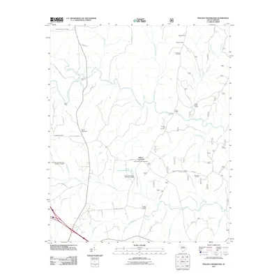 2011 Philson Crossroads2011 Print · USGSThe rural Laurens County backcountry comes into focus during the early twenty-first century, centered on the Philson Crossroads community. Researchers can trace ancestral roots through over a dozen burial sites, including Macedonia Cemetery, and locate river landmarks like Musgrove Ford and Gordons Mill Falls.
 - 2011 Map of Clinton, 2011 Print
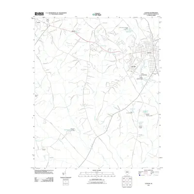 2011 Clinton2011 Print · USGSLaurens County during its twenty-first-century expansion reveals a landscape where industrial textile history meets modern growth. Genealogists and historians can trace family-named sites like Elizabeth M Davis Pond, the Beaverdam Cemetery, and the historic Lydia Mills district.
 - 2011 Map of Joanna, 2011 Print
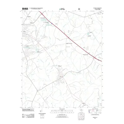 2011 Joanna2011 Print · USGSThis Upstate South Carolina corridor near Clinton shows a landscape defined by small-town life and the Bush River drainage system. Genealogists and local historians can trace family roots through Bethlehem Cemetery, Hurricane Cemetery, and the crossroads community of Joanna.
 - 2011 Map of Ora, 2011 Print
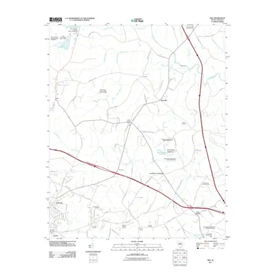 2011 Ora2011 Print · USGSThe rural outskirts of Laurens and the settlement of Wattsville are shown here during a period of modern growth in the South Carolina Piedmont. Local researchers can locate several family burial grounds, such as Rocky Springs Cemetery, and trace historic routes through Ora and Tylersville.
 - 2014 Map of Clinton, 2014 Print
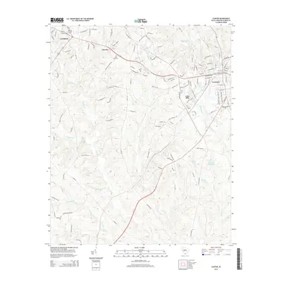 2014 Clinton2014 Print · USGSLaurens County settlement and industry are on full display in this mid-2010s survey of the Upstate South Carolina corridor. Researchers can trace the industrial footprint of Lydia Mills or locate ancestral sites like Holy Grove Cem and Beaverdam Cem.
 - 2014 Map of Joanna, 2014 Print
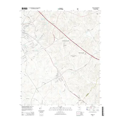 2014 Joanna2014 Print · USGSThe Laurens and Newberry county borderlands come into focus in the mid-2010s, centered on the community of Joanna. Researchers can trace rural lineages through local landmarks like Neighbors Crossroads, Bethlehem Cemetery, and the historic Presbyterian College campus.
 - 2014 Map of Philson Crossroads, 2014 Print
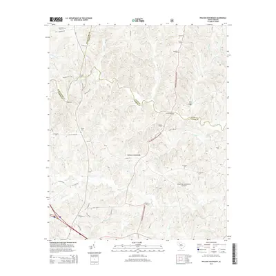 2014 Philson Crossroads2014 Print · USGSThe rural borders of Laurens and Union counties are documented here in the early twenty-first century as the Sumter National Forest frames local life. Genealogists can trace family landmarks and river crossings such as Philson Crossroads, Musgrove Ford, and Yarboroughs Chapel Cem.
 - 2014 Map of Ora, 2014 Print
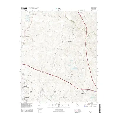 2014 Ora2014 Print · USGSLaurens County at the start of the 2010s shows a landscape of growing aviation hubs and quiet rural crossroads. Genealogists and local historians can trace family locations near Sandy Springs Cem, explore the outskirts of Watts Mills, or find the old Sandy Ford crossing.
 - 2017 Map of Ora, 2017 Print
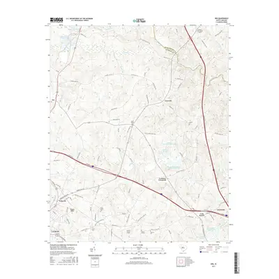 2017 Ora2017 Print · USGSThe Upstate South Carolina countryside near Ora and Tylersville is documented here during a period of steady growth. Genealogists and local historians can trace family locations through several community landmarks, including Sandy Springs Cem, Rocky Springs Cem, and the neighborhoods of Watts Mills.
 - 2017 Map of Clinton, 2017 Print
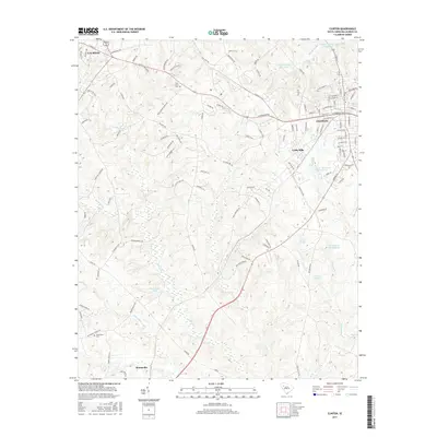 2017 Clinton2017 Print · USGSClinton and the surrounding Laurens County countryside appear in great detail during the late twenty-teens. Researchers can trace local heritage through sites like Lydia Mills, Holy Grove Cem, and the rural settlement of Mountville.
 - 2017 Map of Joanna, 2017 Print
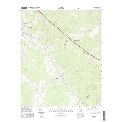 2017 Joanna2017 Print · USGSLaurens County settlement patterns and Piedmont woodlands are documented here during the late twenty-tens. Genealogists and local historians can trace family locations near Rosemont Cem, the campus of Presbyterian Coll, and rural communities like Renno and Joanna.
 - 2017 Map of Philson Crossroads, 2017 Print
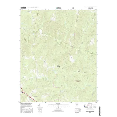 2017 Philson Crossroads2017 Print · USGSThe rural Upstate south of Spartanburg is shown here in the late 2010s as it transitions from the Enoree River bottomlands to the edge of Clinton. Researchers can locate numerous family burial grounds like Macedonia Cem and the historic Duncan Creek Cem near Philson Crossroads.
 - 2020 Map of Joanna, 2020 Print
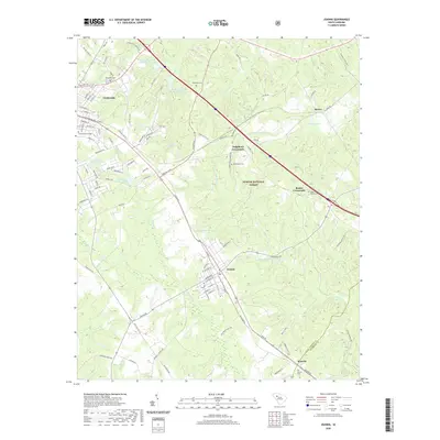 2020 Joanna2020 Print · USGSLaurens County and the edges of the Sumter National Forest appear in clear detail during the early twenty-first century. Researchers can trace local lineage through several documented burial grounds like Hurricane Cem and Shady Grove Cem, or locate the historic campus of Presbyterian College.
 - 2020 Map of Philson Crossroads, 2020 Print
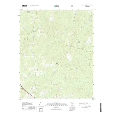 2020 Philson Crossroads2020 Print · USGSLaurens County rural life and the Enoree River corridor are captured here during the early twenty-first century. Genealogists and local historians can locate numerous small burial sites like Shiloh Cem or trace the early water-powered history at Goudelock Mill Falls.
Showing maps 1-25 of 31
Top cities near Clinton
- Laurens historical maps
- Union historical maps
- Joanna historical maps
- Cross Hill historical maps
- Waterloo historical maps
- Adams Ford historical maps
See more
Top neighborhoods of Clinton
Frequently asked questions
- What are the different types of historical maps available for Clinton?
- What is the oldest map of Clinton?
- Where can I purchase historical maps of Clinton for my home or office?
- Where can I download high-res historical maps of Clinton?
- Are there historical topographic maps available for Clinton?
- Is there historical aerial imagery available for Clinton?
- Where are historical maps of Clinton sourced from?