2000s (21st Century) Maps of McCormick County, South Carolina
Explore 85 historic maps of McCormick County from the 2000s (21st Century). These maps offer a rare glimpse into what life looked like during the 2000s — showing old roads, neighborhoods, homes, and landmarks that have changed or disappeared over time.
Whether you're researching your family's past, planning a metal detecting trip, or studying how McCormick County's landscape evolved across the 2000s, these high-resolution maps are a powerful tool for exploring the history of this region.
- Focus on a specific era: All maps on this page are from the 2000s, giving you a focused view of this time period.
- See what’s changed: Compare century-old streets, trails, and buildings to today's modern landscape using overlays and satellite layers.
- Research with precision: Use these maps for genealogy, historical research, land use analysis, or educational projects.
- View, download, or print: Maps are fully viewable online in high resolution, and can be downloaded or printed for your own records.
Start exploring McCormick County's history through authentic maps from the 2000s. This is your window into the past.
McCormick County, SC maps
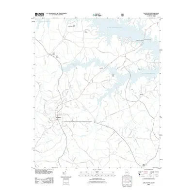
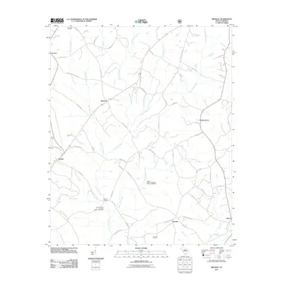
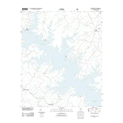
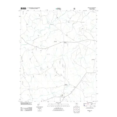
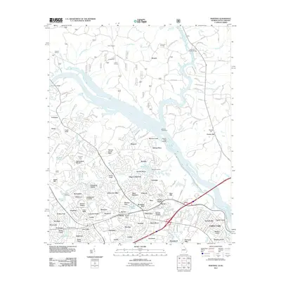
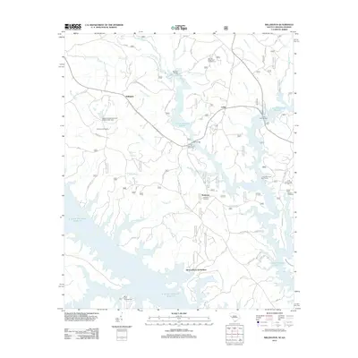
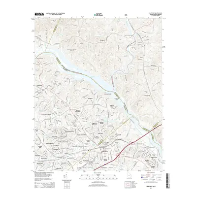
(85)- 2011 Map of Winterseat, 2011 Print
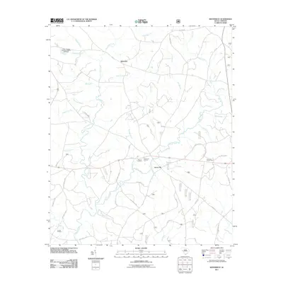 2011 Winterseat2011 Print · USGSCovers McCormick County, including McCormick, Liberty Hill, and other nearby areas
 - 2011 Map of Parksville, 2011 Print
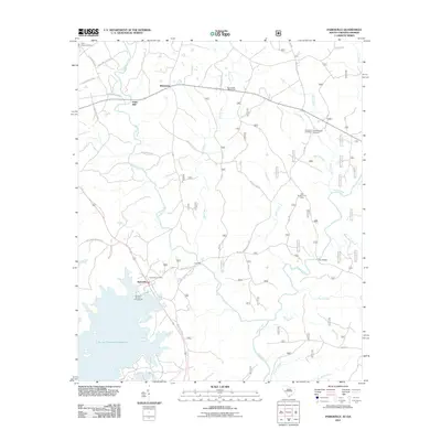 2011 Parksville2011 Print · USGSCovers McCormick County, including Parksville, Parks Mill, and other nearby areas
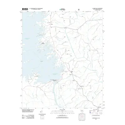
 - 2011 Map of Calhoun Creek, 2011 Print
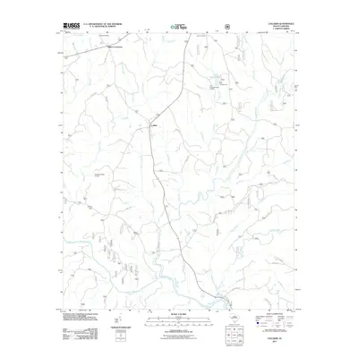
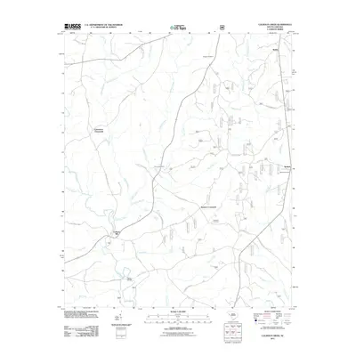 2011 Calhoun Creek2011 Print · USGSCovers McCormick County, including Calhoun Mill, Bethel, and other nearby areas
 - 2011 Map of McCormick, 2011 Print
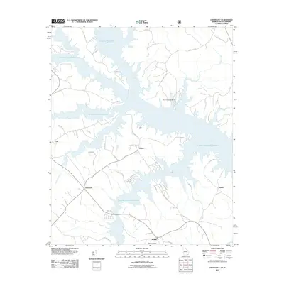
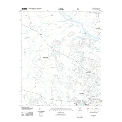
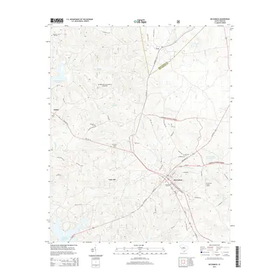
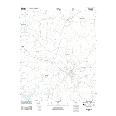 2011 McCormick2011 Print · USGSCovers McCormick County, including McCormick, Troy, and other nearby areas
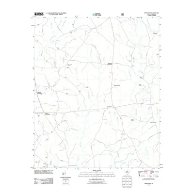
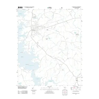
 - 2011 Map of Lincolnton, 2011 Print
 2011 Lincolnton2011 Print · USGSCovers McCormick County, including Lincolnton, Leverett, and other nearby areas
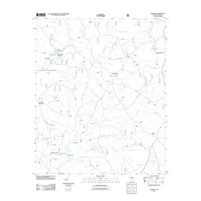
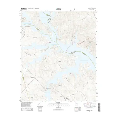
 - 2011 Map of Chennault, 2011 Print
 2011 Chennault2011 Print · USGSCovers McCormick County, including Lisbon, Midway, and other nearby areas
 - 2011 Map of Bradley, 2011 Print
 2011 Bradley2011 Print · USGSCovers McCormick County, including Breezewood, Rushville, and other nearby areas
 - 2011 Map of Limestone, 2011 Print
 2011 Limestone2011 Print · USGSCovers McCormick County, including Pittsburg, Sheppard Crossroads, and other nearby areas
 - 2011 Map of Plum Branch, 2011 Print
 2011 Plum Branch2011 Print · USGSCovers McCormick County, including Plum Branch, Little River Subdivision, and other nearby areas
 - 2011 Map of Colliers, 2011 Print
 2011 Colliers2011 Print · USGSCovers McCormick County, including Colliers, Millers Crossroads, and other nearby areas
 - 2011 Map of Verdery, 2011 Print
 2011 Verdery2011 Print · USGSCovers McCormick County, including Bradley Corner, Clatworthy Crossroads, and other nearby areas
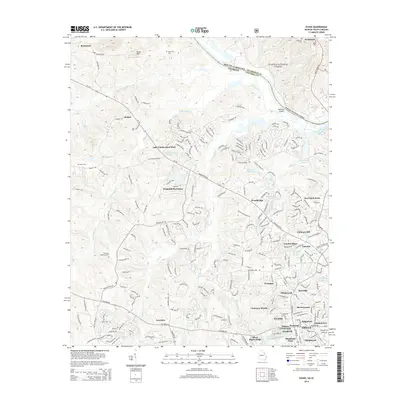
 - 2011 Map of Evans, 2011 Print
 2011 Evans2011 Print · USGSCovers McCormick County, including Evanston, Deerwood Acres, and other nearby areas
 - 2011 Map of Red Hill, 2011 Print
 2011 Red Hill2011 Print · USGSCovers McCormick County, including Johnson Crossroads, West Store Crossroads, and other nearby areas
 - 2011 Map of Martinez, 2011 Print
 2011 Martinez2011 Print · USGSCovers McCormick County, including Augusta, North Augusta, and other nearby areas
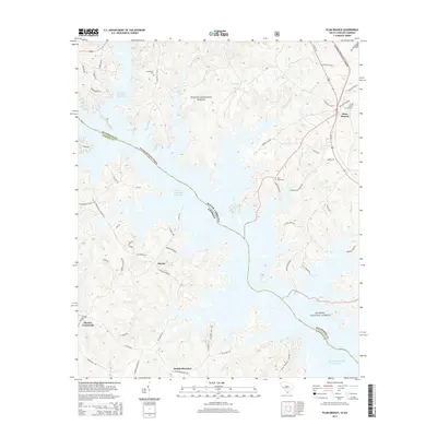
 - 2012 Map of Clarks Hill, 2012 Print
 2012 Clarks Hill2012 Print · USGSCovers McCormick County, including Modoc, Modoc Subdivision, and other nearby areas
 - 2012 Map of Calhoun Falls, 2012 Print
 2012 Calhoun Falls2012 Print · USGSCovers McCormick County, including Calhoun Falls, Hester, and other nearby areas
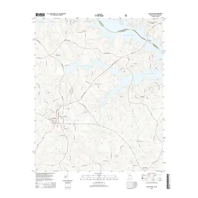
 - 2012 Map of Willington, 2012 Print
 2012 Willington2012 Print · USGSCovers McCormick County, including Bordeaux, Willington, and other nearby areas
 - 2014 Map of Chennault, 2014 Print
 2014 Chennault2014 Print · USGSCovers McCormick County, including Lisbon, Midway, and other nearby areas
 - 2014 Map of Evans, 2014 Print
 2014 Evans2014 Print · USGSCovers McCormick County, including Evanston, Deerwood Acres, and other nearby areas
 - 2014 Map of Lincolnton, 2014 Print
 2014 Lincolnton2014 Print · USGSCovers McCormick County, including Lincolnton, Leverett, and other nearby areas
 - 2014 Map of Martinez, 2014 Print
 2014 Martinez2014 Print · USGSCovers McCormick County, including Augusta, North Augusta, and other nearby areas
 - 2014 Map of Plum Branch, 2014 Print
 2014 Plum Branch2014 Print · USGSCovers McCormick County, including Plum Branch, Little River Subdivision, and other nearby areas
 - 2014 Map of Willington, 2014 Print
 2014 Willington2014 Print · USGSCovers McCormick County, including Bordeaux, Willington, and other nearby areas
 - 2014 Map of Winterseat, 2014 Print
 2014 Winterseat2014 Print · USGSCovers McCormick County, including McCormick, Liberty Hill, and other nearby areas
 - 2014 Map of McCormick, 2014 Print
 2014 McCormick2014 Print · USGSCovers McCormick County, including McCormick, Troy, and other nearby areas
Showing maps 1-25 of 85
Top cities of McCormick County
Frequently asked questions
- What are the different types of historical maps available for McCormick County?
- What is the oldest map of McCormick County?
- Where can I purchase historical maps of McCormick County for my home or office?
- Where can I download high-res historical maps of McCormick County?
- Are there historical topographic maps available for McCormick County?
- Is there historical aerial imagery available for McCormick County?
- Where are historical maps of McCormick County sourced from?