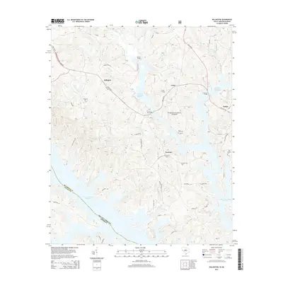
2014 Map of Willington
USGS Topo · Published 2014About this map
J. Strom Thurmond Reservoir dominates the landscape along the South Carolina and Georgia border, where the flooding of the Savannah River valley has created a complex shoreline of deep coves and peninsulas. The high ground remains heavily wooded within the Sumter National Forest, sheltering historic sites like the De La Howe Tomb near Bordeaux. The area’s settlement history is preserved in several small communities and family-linked landmarks, including Willington and Lethia. Local genealogy is anchored by the Willington Cem, Bordeaux Cem, and Badwell Cem, while the road network connects the interior through crossings like Morrow Bridge and Mill Bridge. The map captures the meeting of the Little River and numerous creeks such as Scott Cr and Mathis Cr as they feed into the massive reservoir system.
Find a feature on this map
61 named features on this map. Tap any name to fly to it.
Don’t see what you’re looking for? This feature index may not catch every label — zoom into the map to look around manually.
Map Details
Editions of this 2014 Willington Map
This is the sole edition of this map. No revisions or reprints were ever made.
Other maps of this area

1892 · Mc Cormick
USGS Topo · 1:125,000

1892 · Abbeville
USGS Topo · 1:125,000

1893 · Elberton
USGS Topo · 1:125,000

1906 · Crawfordville
USGS Topo · 1:125,000

1912 · Mc Cormick
USGS Topo · 1:125,000

1948 · Verdery
USGS Topo · 1:24,000

1949 · Calhoun Creek
USGS Topo · 1:24,000

1950 · Verdery
USGS Topo · 1:24,000

1953 · Athens
USGS Topo · 1:250,000

1954 · Metasville
USGS Topo · 1:24,000