Old Maps of Packs Landing, South Carolina for Genealogy
Trace your family roots with 15 historic maps of Packs Landing. These high-res maps reveal old neighborhoods, homesites, landmarks, and streets — helping you uncover where your ancestors lived and how the area evolved over time.
- Explore historic neighborhoods: Identify where your relatives may have lived in the 1800s or 1900s.
- Compare maps over time: Trace the changes in streets, buildings, and landmarks for multi-generational research.
- Perfect for genealogy & ancestry research: Used by family historians and researchers to map out lineage and migration.
These maps are an incredible resource for exploring your personal connection to Packs Landing's past.
Packs Landing, SC maps
(15)- 1946 Map of Elloree
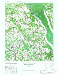 1946 Elloree1946 Print · USGSCoastal plain settlements and rising reservoir waters define this mid-1940s landscape in the Santee River basin. Genealogists and historians can trace the foundations of Langsynt Plantation, locate numerous rural churches like Mizpah Ch, or study the rail corridor through Lone Star.2 unique versions available
 - 1954 Map of Augusta
 1954 Augusta1954 Print · USGSThe Savannah River valley and South Carolina Midlands are captured here during a period of post-war growth. Researchers can trace the rail-and-river economy through the Southern RR corridor and locate historic settlements like Aiken, Orangeburg, and Sumter.
 - 1957 Map of Augusta, 1966 Print
 1957 Augusta1966 Print · USGSThe Savannah River and Santee basins are captured here during a period of massive military and industrial expansion in the late fifties. Genealogists can trace family footprints across Four Hole Swamp or near the Savannah River Plant.3 unique versions available
 - 1958 Map of Augusta
 1958 Augusta1958 Print · USGSThe borderlands between Georgia and South Carolina come alive in the 1950s, showing the early footprint of the Savannah River Plant. Genealogists and historians can trace rail-dependent towns and rural landmarks from Orangeburg to the Fort Jackson Military Reservation.
 - 1961 Map of Augusta
 1961 Augusta1961 Print · USGSThe South Carolina lowcountry and CSRA appear here in the early sixties, during a period of massive military and industrial growth. Researchers can trace the development of the Savannah River Plant or locate legacy landmarks like Nelson Ferry and Magnolia Cemetery.2 unique versions available
 - 1962 Map of Augusta
 1962 Augusta1962 Print · USGSThe South Carolina and Georgia borderlands are seen here in the early sixties, showing the rise of the Savannah River Plant and the expansion of Fort Jackson. Researchers can trace old rail lines like the Southern Railway and find landmarks such as St. Pauls Church or the Santee Canal.
 - 1986 Map of Sumter
 1986 Sumter1986 Print · USGSMid-South Carolina in the mid-eighties reveals a landscape of massive river bottomlands and significant military installations. Genealogists and historians can trace the rural networks around Fort Motte, Lone Star, and Sardinia alongside Lake Marion.
 - 1988 Map of Lone Star
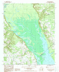 1988 Lone Star1988 Print · USGSThe Santee River lowlands and the vast waters of Lake Marion are captured here in the late 1980s. Local historians and genealogists can trace the rural communities of Lone Star and Rimini, alongside landmarks like Fulton Crossroads and Weeks Landing.
 - 1990 Map of Sumter
 1990 Sumter1990 Print · USGSCentral South Carolina's river systems and military landscapes are captured here during the late twentieth century. Genealogists and historians can trace the growth of Sumter or locate rural communities such as Wedgefield and Kingville near the Congaree River.
 - 2011 Map of Lone Star, 2011 Print
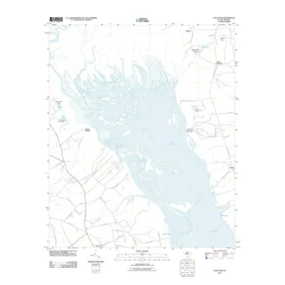 2011 Lone Star2011 Print · USGSCovers Packs Landing, including Fulton Crossroads, Lone Star, and other nearby areas
 - 2014 Map of Lone Star, 2014 Print
 2014 Lone Star2014 Print · USGSCovers Packs Landing, including Fulton Crossroads, Lone Star, and other nearby areas
 - 2017 Map of Lone Star, 2017 Print
 2017 Lone Star2017 Print · USGSCovers Packs Landing, including Fulton Crossroads, Lone Star, and other nearby areas
 - 2020 Map of Lone Star, 2020 Print
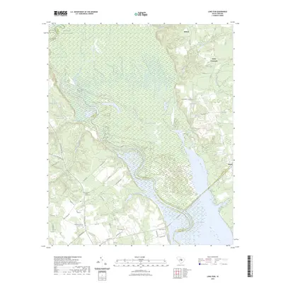
 2020 Lone Star2020 Print · USGSCovers Packs Landing, including Fulton Crossroads, Lone Star, and other nearby areas
 - 2023 Map of Lone Star, 2023 Print
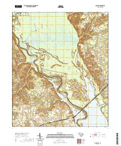
 2023 Lone Star2023 Print · USGSCovers Packs Landing, including Fulton Crossroads, Lone Star, and other nearby areas
 - 2024 Map of Lone Star, 2024 Print
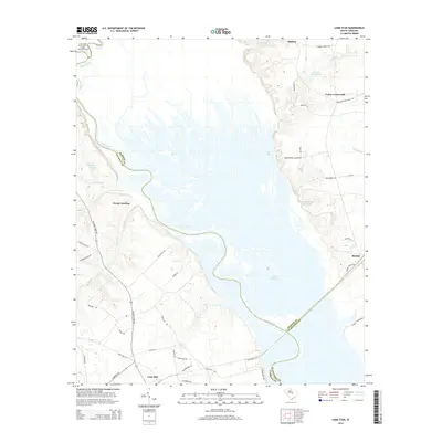
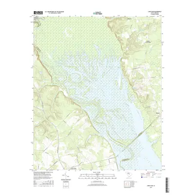
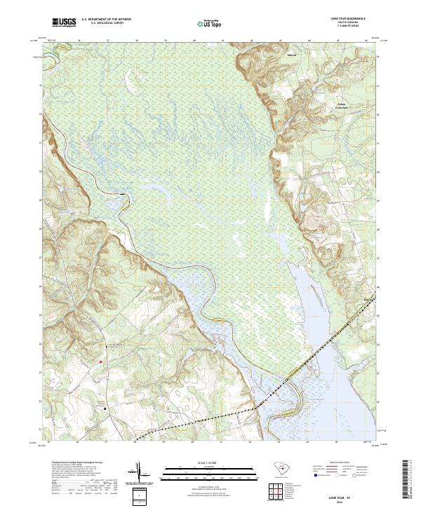 2024 Lone Star2024 Print · USGSThe Santee River lowlands and the headwaters of Lake Marion appear here in modern detail, covering the meeting point of Sumter and Calhoun counties. Researchers can trace rural lineages through sites like Saint Mark Baptist Church Cem and old landings at Rimini.
End of results
Showing maps 1-15 of 15
Top cities near Packs Landing
- Sumter historical maps
- Summerton historical maps
- Eastover historical maps
- Santee historical maps
- Elloree historical maps
- Pinewood historical maps
See more
Frequently asked questions
- What are the different types of historical maps available for Packs Landing?
- What is the oldest map of Packs Landing?
- Where can I purchase historical maps of Packs Landing for my home or office?
- Where can I download high-res historical maps of Packs Landing?
- Are there historical topographic maps available for Packs Landing?
- Is there historical aerial imagery available for Packs Landing?
- Where are historical maps of Packs Landing sourced from?