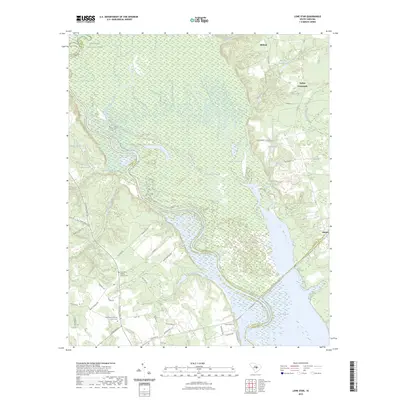
2023 Map of Lone Star
USGS Topo · Published 2023About this map
Lake Marion and the winding Santee River define this lowland region at the meeting point of Sumter, Calhoun, and Clarendon Counties. The landscape is a complex network of wetlands and tributaries, including Tavern Creek and Warley Creek, leading into the dense bottomlands of Congaree National Park in the northwest. This modern survey illustrates how water and terrain have historically dictated the placement of small rural communities and church centers.
Find a feature on this map
53 named features on this map. Tap any name to fly to it.
Don’t see what you’re looking for? This feature index may not catch every label — zoom into the map to look around manually.
Map Details
Editions of this 2023 Lone Star Map
This is the sole edition of this map. No revisions or reprints were ever made.
Other maps of this area

1943 · Eastover
USGS Topo · 1:62,500

1946 · Elloree
USGS Topo · 1:62,500

1946 · Sumter
USGS Topo · 1:62,500

1953 · Poinsett State Park
USGS Topo · 1:24,000

1953 · Wateree
USGS Topo · 1:24,000

1954 · Augusta
USGS Topo · 1:250,000

1957 · Sumter
USGS Topo · 1:62,500

1957 · Augusta
USGS Topo · 1:250,000

1958 · Augusta
USGS Topo · 1:250,000

1961 · Augusta
USGS Topo · 1:250,000