Old Maps of Belford Township, South Dakota for Genealogy
Trace your family roots with 25 historic maps of Belford Township. These high-res maps reveal old neighborhoods, homesites, landmarks, and streets — helping you uncover where your ancestors lived and how the area evolved over time.
- Explore historic neighborhoods: Identify where your relatives may have lived in the 1800s or 1900s.
- Compare maps over time: Trace the changes in streets, buildings, and landmarks for multi-generational research.
- Perfect for genealogy & ancestry research: Used by family historians and researchers to map out lineage and migration.
These maps are an incredible resource for exploring your personal connection to Belford Township's past.
Belford Township, SD maps
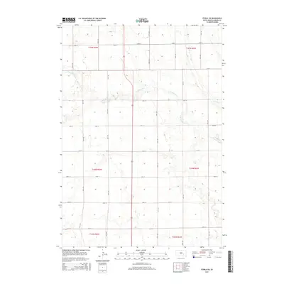
(25)- 1899 Map of Mitchell
 1899 Mitchell1899 Print · USGSSoutheastern South Dakota is captured during the era of rapid railroad expansion and prairie settlement. Genealogists can trace the early rail stops at Mt. Vernon and Letcher, or locate old watercourses like Enemy Creek and the James River.3 unique versions available
 - 1955 Map of Mitchell, 1973 Print
 1955 Mitchell1973 Print · USGSThe Missouri River valley undergoes a massive transformation in the mid-1950s as the Fort Randall Dam creates Lake Francis Case. You can trace the rail lines of the Chicago Milwaukee St Paul and Pacific through Mitchell or locate local landmarks like Butler Town Hall.2 unique versions available
 - 1959 Map of Mitchell
 1959 Mitchell1959 Print · USGSSouth Dakota’s river and rail corridors come alive in the late fifties as the Missouri River valley undergoes dramatic change. Genealogists and historians can trace family roots through numerous small towns and schools such as Academy, Stickney, and Gregory.2 unique versions available
 - 1979 Map of Fraser Dam, 1980 Print
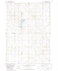
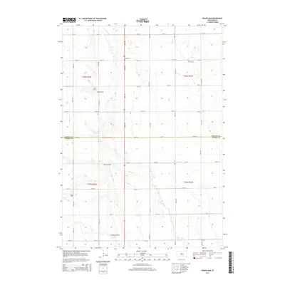
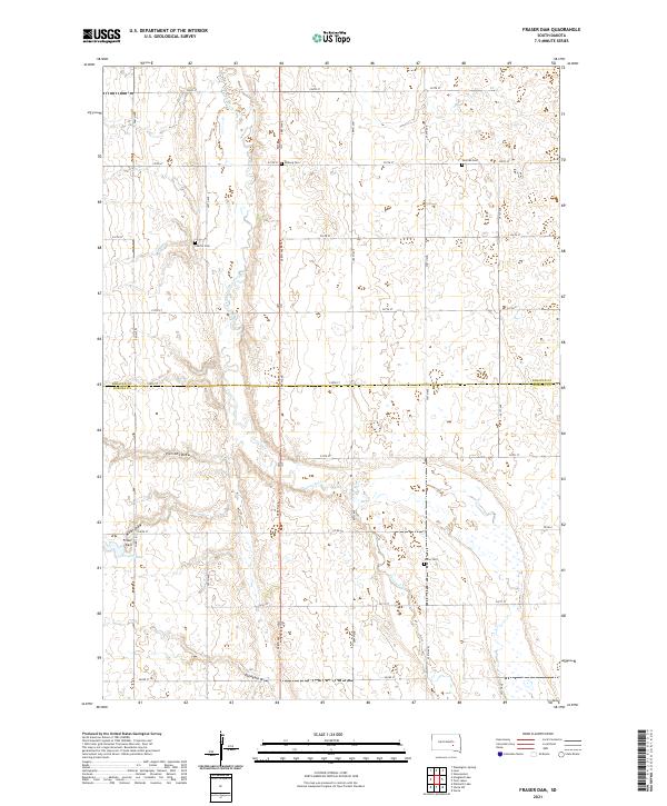
 1979 Fraser Dam1980 Print · USGSAgricultural life in Jerauld and Aurora Counties is captured here in the late seventies as local townships managed the prairie landscape. Genealogists can locate family-named landmarks like Piersons Draw and community sites including Solberg Cem and Fraser Dam.
 - 1979 Map of Storla SW, 1980 Print
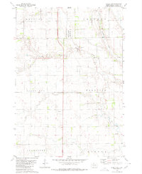 1979 Storla SW1980 Print · USGSAurora County’s rural prairie landscape is captured here in the late seventies, showing the transition of its township lands. Researchers can locate the local Townhall and trace the drainage of Firesteel Creek near the National Waterfowl Production Area.
 - 1979 Map of Storla, 1980 Print
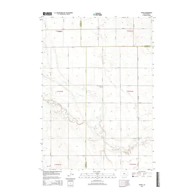
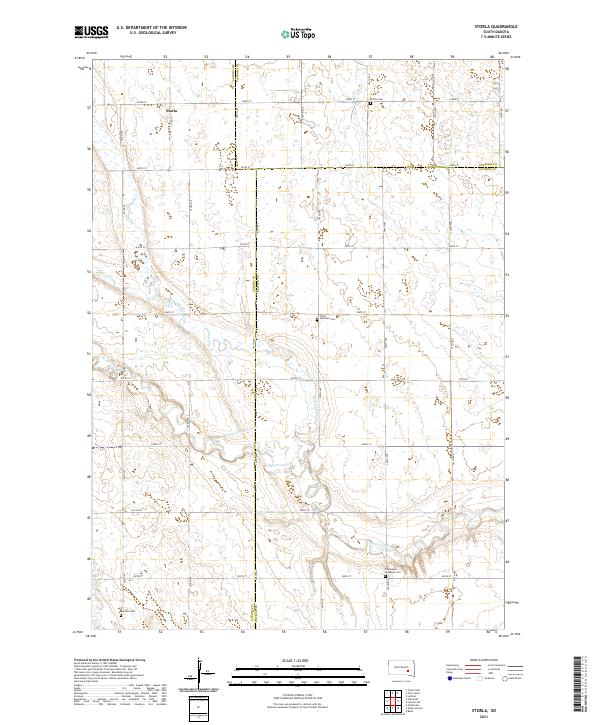
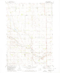 1979 Storla1980 Print · USGSThe crossroads of Aurora, Sanborn, and Davison counties are documented here in the late seventies. Family historians can trace the rural community of Storla and its surrounding landmarks like Trinity Ch, Blendon Sch, and Knutson Cem.
 - 1979 Map of Twin Lakes, 1980 Print
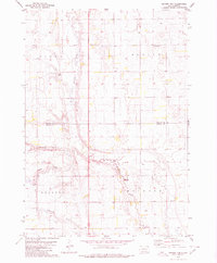
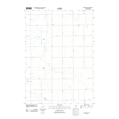
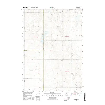
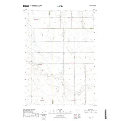
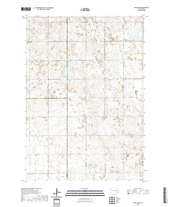
 1979 Twin Lakes1980 Print · USGSSanborn County and its neighboring borderlands appear here in the late seventies, centered on the vital prairie waters of the James River Valley region. Researchers can locate rural landmarks like Belford Sch, Elliott Sch, and the Twin Lakes State Recreation Area.
 - 1986 Map of Mitchell
 1986 Mitchell1986 Print · USGSMitchell and the surrounding prairie towns are documented in the mid-1980s as the regional rail and agricultural network matured. Genealogists can locate specific sites like the State Training Sch, Aurora Center, and the Cedar Grove Colony.2 unique versions available
 - 1990 Map of Mitchell, 1991 Print
 1990 Mitchell1991 Print · USGSThe Missouri River and the surrounding South Dakota plains are captured here in the early nineties, showing a landscape shaped by water and wire. Genealogists and historians can trace the gridded townships from Mitchell to the Bijou Hills, locating sites like the Platte Colony and Academy.
 - 2012 Map of Fraser Dam, 2012 Print
 2012 Fraser Dam2012 Print · USGSCovers Belford Township, including Blaine Township, Viola Township, and other nearby areas
 - 2012 Map of Twin Lakes, 2012 Print
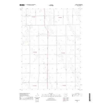
 2012 Twin Lakes2012 Print · USGSCovers Belford Township, including Blaine Township, Twin Lake Township, and other nearby areas
 - 2012 Map of Storla SW, 2012 Print
 2012 Storla SW2012 Print · USGSCovers Belford Township, including Hopper Township, Firesteel Township, and other nearby areas
 - 2012 Map of Storla, 2012 Print
 2012 Storla2012 Print · USGSCovers Belford Township, including Hopper Township, Storla, and other nearby areas
 - 2015 Map of Storla, 2015 Print
 2015 Storla2015 Print · USGSCovers Belford Township, including Hopper Township, Storla, and other nearby areas
 - 2015 Map of Twin Lakes, 2015 Print
 2015 Twin Lakes2015 Print · USGSCovers Belford Township, including Blaine Township, Twin Lake Township, and other nearby areas
 - 2015 Map of Storla SW, 2015 Print
 2015 Storla SW2015 Print · USGSCovers Belford Township, including Hopper Township, Firesteel Township, and other nearby areas
 - 2015 Map of Fraser Dam, 2015 Print
 2015 Fraser Dam2015 Print · USGSCovers Belford Township, including Blaine Township, Viola Township, and other nearby areas
 - 2017 Map of Storla, 2017 Print
 2017 Storla2017 Print · USGSCovers Belford Township, including Hopper Township, Storla, and other nearby areas
 - 2017 Map of Storla SW, 2017 Print
 2017 Storla SW2017 Print · USGSCovers Belford Township, including Hopper Township, Firesteel Township, and other nearby areas
 - 2017 Map of Twin Lakes, 2017 Print
 2017 Twin Lakes2017 Print · USGSCovers Belford Township, including Blaine Township, Twin Lake Township, and other nearby areas
 - 2017 Map of Fraser Dam, 2017 Print
 2017 Fraser Dam2017 Print · USGSCovers Belford Township, including Blaine Township, Viola Township, and other nearby areas
 - 2021 Map of Storla SW, 2021 Print
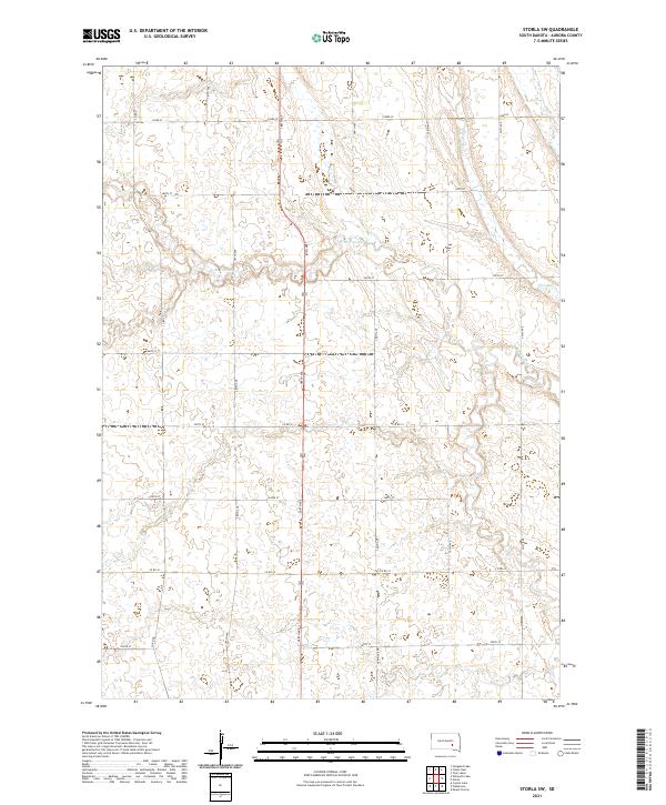 2021 Storla SW2021 Print · USGSAurora County's agricultural heartland is documented here in the early twenty-first century, showing the enduring township and range grid. Researchers can trace the meandering course of Firesteel Cr and its many smaller branches as they flow past rural thoroughfares like Co Rd 22 and 390th Ave.
 - 2021 Map of Fraser Dam, 2021 Print
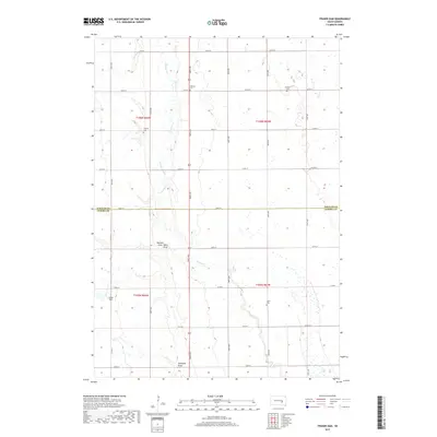
 2021 Fraser Dam2021 Print · USGSSouth Dakota's prairie landscape is captured here in the early twenty-first century, showing the enduring agricultural grid across the Jerauld and Aurora county line. Trace family roots at Union Cem or Solberg Cem and locate landmarks like Fraser Dam.
 - 2021 Map of Storla, 2021 Print
 2021 Storla2021 Print · USGSAurora County's agricultural heartland is documented here in the early 2020s, showcasing the rural intersections where three counties meet. Genealogists can locate several family landmarks including Victor Lutheran Cem, Trinity Cem, and the settlement of Storla.
 - 2021 Map of Twin Lakes, 2021 Print
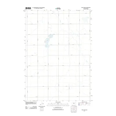
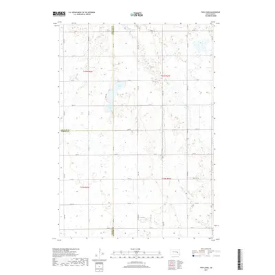
 2021 Twin Lakes2021 Print · USGSThe prairie landscape at the junction of Sanborn, Jerauld, and Aurora counties is meticulously documented in this recent survey. Local historians can trace the hydrology of Twin Lakes and Grass Lake alongside rural routes like Co Rd 7.
End of results
Showing maps 1-25 of 25
Top cities near Belford Township
- Wessington Springs historical maps
- Woonsocket historical maps
- Plankinton historical maps
- Mount Vernon historical maps
- Lane historical maps
Top neighborhoods of Belford Township
Frequently asked questions
- What are the different types of historical maps available for Belford Township?
- What is the oldest map of Belford Township?
- Where can I purchase historical maps of Belford Township for my home or office?
- Where can I download high-res historical maps of Belford Township?
- Are there historical topographic maps available for Belford Township?
- Is there historical aerial imagery available for Belford Township?
- Where are historical maps of Belford Township sourced from?