2000s (21st Century) Maps of Big Course District, South Dakota
Explore 28 historic maps of Big Course District from the 2000s (21st Century). These maps offer a rare glimpse into what life looked like during the 2000s — showing old roads, neighborhoods, homes, and landmarks that have changed or disappeared over time.
Whether you're researching your family's past, planning a metal detecting trip, or studying how Big Course District's landscape evolved across the 2000s, these high-resolution maps are a powerful tool for exploring the history of this region.
- Focus on a specific era: All maps on this page are from the 2000s, giving you a focused view of this time period.
- See what’s changed: Compare century-old streets, trails, and buildings to today's modern landscape using overlays and satellite layers.
- Research with precision: Use these maps for genealogy, historical research, land use analysis, or educational projects.
- View, download, or print: Maps are fully viewable online in high resolution, and can be downloaded or printed for your own records.
Start exploring Big Course District's history through authentic maps from the 2000s. This is your window into the past.
Big Course District, SD maps
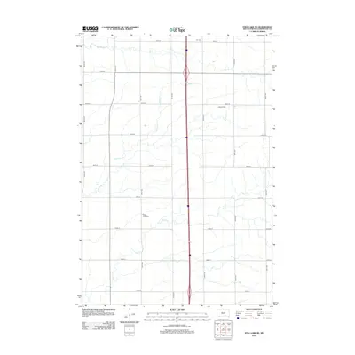
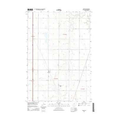
(28)- 2012 Map of Peever, 2012 Print
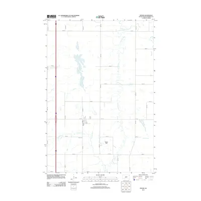 2012 Peever2012 Print · USGSCovers Big Course District, including Peever, Old Agency District, and other nearby areas
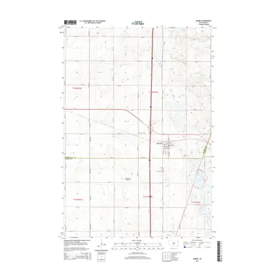
 - 2012 Map of Marvin, 2012 Print
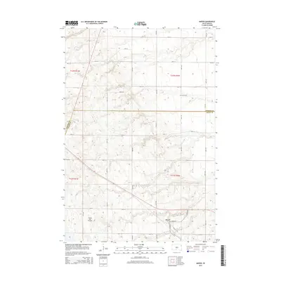
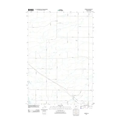 2012 Marvin2012 Print · USGSCovers Big Course District, including Marvin, Grant County, and other nearby areas
 - 2012 Map of Wilmot NW, 2012 Print
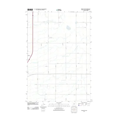 2012 Wilmot NW2012 Print · USGSCovers Big Course District, including Old Agency District, Roberts County, and other nearby areas
 - 2012 Map of Summit, 2012 Print
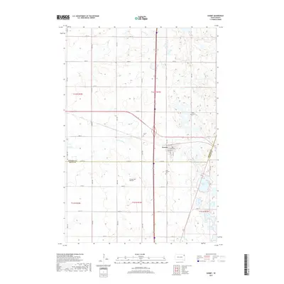
 2012 Summit2012 Print · USGSCovers Big Course District, including Summit, Enemy Swim District, and other nearby areas
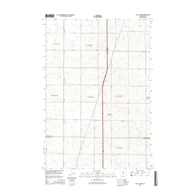
 - 2012 Map of Still Lake SE, 2012 Print
 2012 Still Lake SE2012 Print · USGSCovers Big Course District, including Germantown Township, Enemy Swim District, and other nearby areas
 - 2012 Map of Still Lake NE, 2012 Print
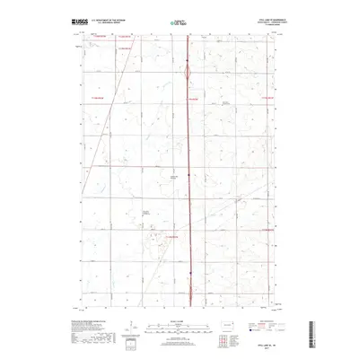
 2012 Still Lake NE2012 Print · USGSCovers Big Course District, including Sunrise Hutterite Colony, Germantown Township, and other nearby areas
 - 2012 Map of Summit NE, 2012 Print
 2012 Summit NE2012 Print · USGSCovers Big Course District, including Old Agency District, Spring Grove, and other nearby areas
 - 2015 Map of Summit, 2015 Print
 2015 Summit2015 Print · USGSCovers Big Course District, including Summit, Enemy Swim District, and other nearby areas
 - 2015 Map of Summit NE, 2015 Print
 2015 Summit NE2015 Print · USGSCovers Big Course District, including Old Agency District, Spring Grove, and other nearby areas
 - 2015 Map of Peever, 2015 Print
 2015 Peever2015 Print · USGSCovers Big Course District, including Peever, Old Agency District, and other nearby areas
 - 2015 Map of Still Lake SE, 2015 Print
 2015 Still Lake SE2015 Print · USGSCovers Big Course District, including Germantown Township, Enemy Swim District, and other nearby areas
 - 2015 Map of Marvin, 2015 Print
 2015 Marvin2015 Print · USGSCovers Big Course District, including Marvin, Grant County, and other nearby areas
 - 2015 Map of Wilmot NW, 2015 Print
 2015 Wilmot NW2015 Print · USGSCovers Big Course District, including Old Agency District, Roberts County, and other nearby areas
 - 2015 Map of Still Lake NE, 2015 Print
 2015 Still Lake NE2015 Print · USGSCovers Big Course District, including Sunrise Hutterite Colony, Germantown Township, and other nearby areas
 - 2017 Map of Still Lake SE, 2017 Print
 2017 Still Lake SE2017 Print · USGSCovers Big Course District, including Germantown Township, Enemy Swim District, and other nearby areas
 - 2017 Map of Summit, 2017 Print
 2017 Summit2017 Print · USGSCovers Big Course District, including Summit, Enemy Swim District, and other nearby areas
 - 2017 Map of Still Lake NE, 2017 Print
 2017 Still Lake NE2017 Print · USGSCovers Big Course District, including Sunrise Hutterite Colony, Germantown Township, and other nearby areas
 - 2017 Map of Summit NE, 2017 Print
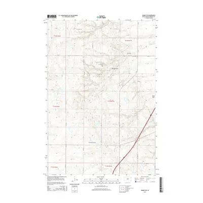
 2017 Summit NE2017 Print · USGSCovers Big Course District, including Old Agency District, Spring Grove, and other nearby areas
 - 2017 Map of Marvin, 2017 Print
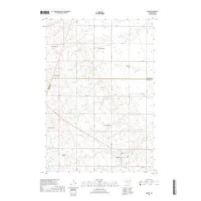 2017 Marvin2017 Print · USGSCovers Big Course District, including Marvin, Grant County, and other nearby areas
 - 2017 Map of Wilmot NW, 2017 Print
 2017 Wilmot NW2017 Print · USGSCovers Big Course District, including Old Agency District, Roberts County, and other nearby areas
 - 2017 Map of Peever, 2017 Print
 2017 Peever2017 Print · USGSCovers Big Course District, including Peever, Old Agency District, and other nearby areas
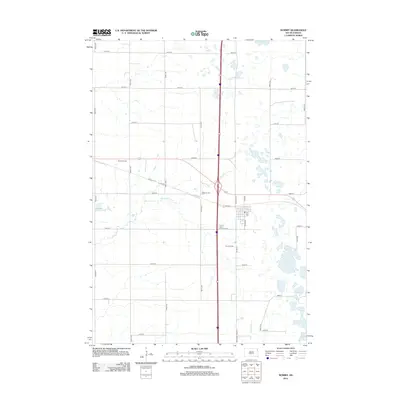
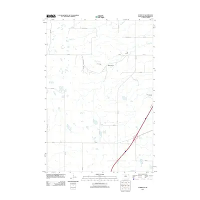
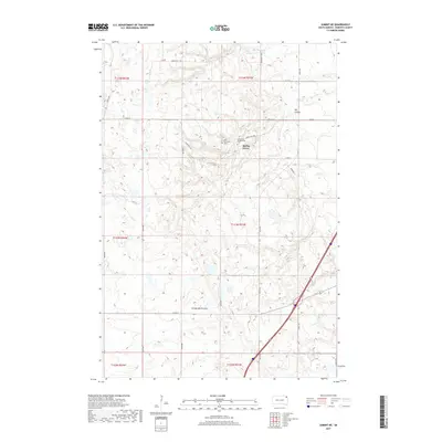
 - 2021 Map of Peever, 2021 Print
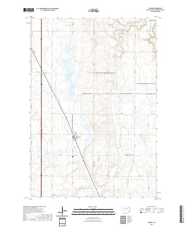 2021 Peever2021 Print · USGSThe town of Peever and its surrounding wetlands are mapped here in the early twenty-first century. Researchers can locate family sites near Peever Cem or trace the meandering paths of the Jorgenson River and Little Minnesota River across the Roberts County prairie.
 - 2021 Map of Wilmot NW, 2021 Print
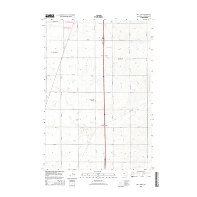
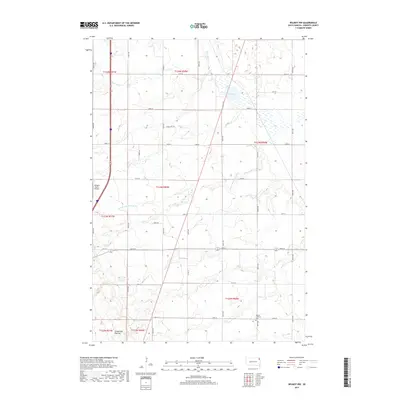
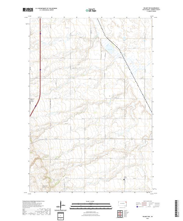 2021 Wilmot NW2021 Print · USGSThe high plateau of the Roberts County prairie is captured here in the early twenty-first century. Genealogists and local historians can trace family locations near Wilmot Lutheran Cem or locate regional landmarks like Whipple Ranch Airport.
 - 2021 Map of Marvin, 2021 Print
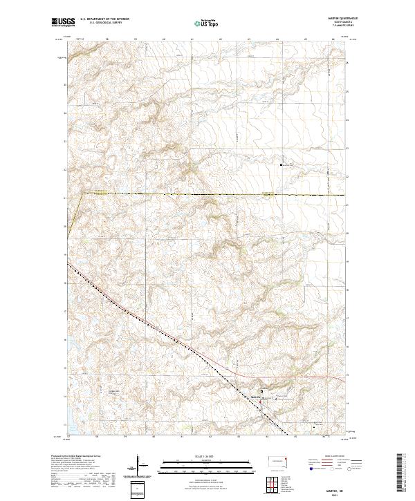 2021 Marvin2021 Print · USGSThe upland plateau of the Coteau des Prairies defines this contemporary study of the Marvin area. Researchers can locate several burial grounds, including Eastman Cem, Blue Cloud Abbey Cem, and the two Osceola cemeteries near the town center.
 - 2021 Map of Still Lake NE, 2021 Print
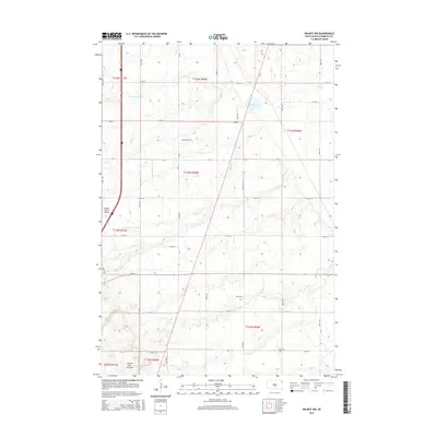
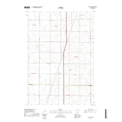
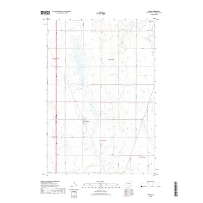
 2021 Still Lake NE2021 Print · USGSThe high prairie landscape along the Grant and Codington county line is captured here in the early twenty-first century. Genealogists and local historians can locate rural landmarks such as Mazeppa Cem, Klix Cem, and the winding Soo Cr.
Showing maps 1-25 of 28
Top cities near Big Course District
- Wilmot historical maps
- Summit historical maps
- South Shore historical maps
- Old Agency District historical maps
- Spring Grove historical maps
- Stockholm historical maps
See more
Top neighborhoods of Big Course District
Frequently asked questions
- What are the different types of historical maps available for Big Course District?
- What is the oldest map of Big Course District?
- Where can I purchase historical maps of Big Course District for my home or office?
- Where can I download high-res historical maps of Big Course District?
- Are there historical topographic maps available for Big Course District?
- Is there historical aerial imagery available for Big Course District?
- Where are historical maps of Big Course District sourced from?