Old Maps of Big Course District, South Dakota for Academic Research
Study the evolution of Big Course District with 42 high-resolution historic maps. Whether you're teaching, researching, or modeling changes in land use, these maps provide essential visual documentation of urban, environmental, and geographic change.
- Analyze long-term change: Track patterns in development, transportation, and natural features.
- Ideal for environmental or urban studies: Support academic projects with primary historical map data.
- Use in the classroom or lab: Educators and researchers rely on these maps to bring historical context to life.
These maps are a powerful tool for teaching, research, and visualizing how Big Course District has changed over the decades.
Big Course District, SD maps
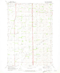
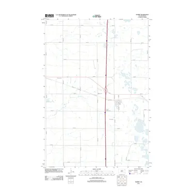
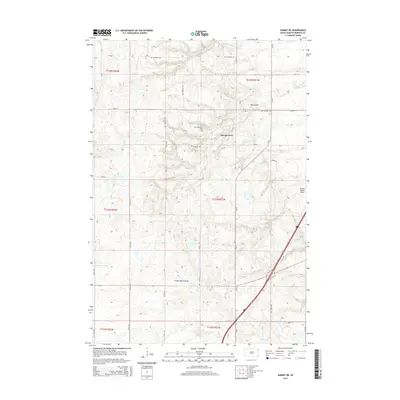
(42)- 1916 Map of Peever, 1954 Print
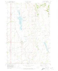
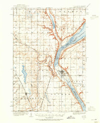 1916 Peever1954 Print · USGSThe borderlands of South Dakota and Minnesota come alive in this survey of the early twentieth century. Genealogists and local historians can trace the paths of the Great Northern railroad and locate rural landmarks like Windom School, Peever, and the Erdman School.
 - 1918 Map of Peever
 1918 Peever1918 Print · USGSThe borderlands of South Dakota and Minnesota are captured here during the First World War, centered on the strategic divide at Browns Valley. Genealogists and local historians can trace rural school locations like Morehead School and Becker School alongside the tracks of the Great Northern railroad.4 unique versions available
 - 1953 Map of Milbank, 1958 Print
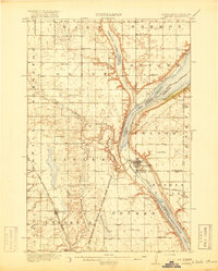
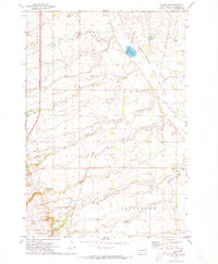
 1953 Milbank1958 Print · USGSThe tri-state border region of South Dakota, North Dakota, and Minnesota is shown here during the early fifties, a landscape defined by glacial lakes and the Sisseton Indian Reservation. Researchers can trace the legacy of the western railroads, locating old stops along the Great Northern and settlements like Milbank, Webster, and Sisseton.3 unique versions available
 - 1958 Map of Milbank
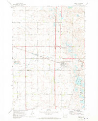
 1958 Milbank1958 Print · USGSThe northern Great Plains in the late fifties show a landscape of glacial lakes and reservation lands shaped by the Great Northern railroad. Genealogists and local historians can trace the grid of settlements from Britton to Milbank and locate landmarks like Enemy Swim Lake and the Sisseton Indian Reservation.
 - 1970 Map of Summit, 1973 Print
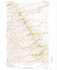
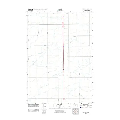
 1970 Summit1973 Print · USGSThe town of Summit and the high prairie wetlands are captured here in the early 1970s. Trace the path of the CHICAGO MILWAUKEE ST PAUL AND PACIFIC railroad through the Sisseton Indian Reservation Boundary and past the Summit Cem.
 - 1970 Map of Summit NE, 1973 Print
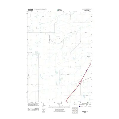
 1970 Summit NE1973 Print · USGSNortheastern Roberts County in the early seventies reveals a landscape of glacial coulees and scattered prairie lakes. Genealogists can locate Old Ascension Cem and Ascension Ch near the deep drainage of Big Coulee.
 - 1970 Map of Still Lake SE, 1973 Print
 1970 Still Lake SE1973 Print · USGSCodington County in the early 1970s is shown here as a landscape of grid-patterned townships and prairie drainage. Genealogists can locate family landmarks like St Johns Ch, Townhall, and the Henricks Landing Strip along the Burlington Northern line.
 - 1970 Map of Marvin, 1973 Print
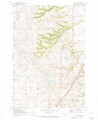
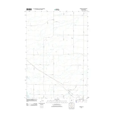
 1970 Marvin1973 Print · USGSThe Marvin area and the coteau landscape of South Dakota appear in this 1970s survey as a mix of religious sites and rail corridors. Genealogists and local historians can trace the Milwaukee Road route past Blue Cloud Abbey and the Eastman Cem.
 - 1970 Map of Wilmot NW, 1973 Print
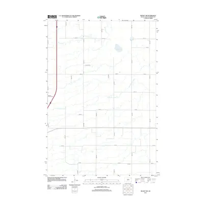
 1970 Wilmot NW1973 Print · USGSRoberts County's prairie landscape was recorded in the early seventies, showing the intersection of rail history and reservation lands. You can trace the Chicago Milwaukee St Paul and Pacific line or locate the remote Boe Cem and Big Coulee.2 unique versions available
 - 1970 Map of Still Lake NE, 1973 Print
 1970 Still Lake NE1973 Print · USGSThe eastern South Dakota plains come into focus in the early 1970s, showing the rural townships of Grant and Codington counties. Researchers can trace the Sisseton Indian Reservation Boundary or locate the local St Johns Ch and Townhall.
 - 1971 Map of Peever, 1974 Print
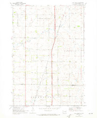
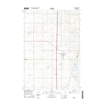
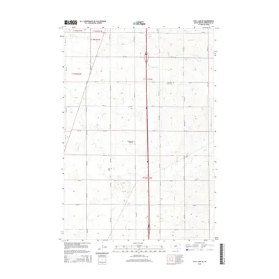
 1971 Peever1974 Print · USGSNortheastern South Dakota in the early seventies shows a landscape of rail-connected prairie towns and extensive managed wetlands. Researchers can trace the Sisseton Indian Reservation Boundary and locate local landmarks like Peever Cem and the Townhall.
 - 1985 Map of Webster
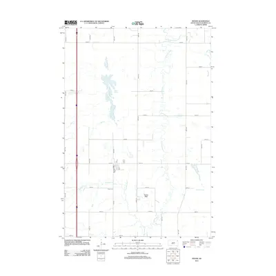
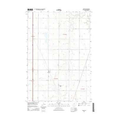
 1985 Webster1985 Print · USGSNortheastern South Dakota in the mid-eighties reveals a landscape of prairie potholes and rail-line towns centered on the Webster region. Genealogists and historians can trace rail-town development along the Burlington Northern and find early conservation boundaries like the Waubay National Wildlife Refuge.2 unique versions available
 - 1985 Map of Wheaton
 1985 Wheaton1985 Print · USGSThe tri-state border region of Minnesota and the Dakotas is captured in the mid-1980s, defined by its prairie wetlands and rail-fed farming towns. Researchers can trace the Burlington Northern line through Wheaton and Graceville or locate family-named landmarks like Carlson Island.2 unique versions available
 - 1985 Map of Milbank
 1985 Milbank1985 Print · USGSThe South Dakota and Minnesota border region comes into focus during the mid-eighties as a hub of prairie lakes and rail transport. Genealogists and researchers can trace the lakeside settlements of Hiawatha Beach, the streets of Milbank, and legacy rail lines like the Burlington Northern.
 - 2012 Map of Peever, 2012 Print
 2012 Peever2012 Print · USGSCovers Big Course District, including Peever, Old Agency District, and other nearby areas
 - 2012 Map of Marvin, 2012 Print
 2012 Marvin2012 Print · USGSCovers Big Course District, including Marvin, Grant County, and other nearby areas
 - 2012 Map of Wilmot NW, 2012 Print
 2012 Wilmot NW2012 Print · USGSCovers Big Course District, including Old Agency District, Roberts County, and other nearby areas
 - 2012 Map of Summit, 2012 Print
 2012 Summit2012 Print · USGSCovers Big Course District, including Summit, Enemy Swim District, and other nearby areas
 - 2012 Map of Still Lake SE, 2012 Print
 2012 Still Lake SE2012 Print · USGSCovers Big Course District, including Germantown Township, Enemy Swim District, and other nearby areas
 - 2012 Map of Still Lake NE, 2012 Print
 2012 Still Lake NE2012 Print · USGSCovers Big Course District, including Sunrise Hutterite Colony, Germantown Township, and other nearby areas
 - 2012 Map of Summit NE, 2012 Print
 2012 Summit NE2012 Print · USGSCovers Big Course District, including Old Agency District, Spring Grove, and other nearby areas
 - 2015 Map of Summit, 2015 Print
 2015 Summit2015 Print · USGSCovers Big Course District, including Summit, Enemy Swim District, and other nearby areas
 - 2015 Map of Summit NE, 2015 Print
 2015 Summit NE2015 Print · USGSCovers Big Course District, including Old Agency District, Spring Grove, and other nearby areas
 - 2015 Map of Peever, 2015 Print
 2015 Peever2015 Print · USGSCovers Big Course District, including Peever, Old Agency District, and other nearby areas
 - 2015 Map of Still Lake SE, 2015 Print
 2015 Still Lake SE2015 Print · USGSCovers Big Course District, including Germantown Township, Enemy Swim District, and other nearby areas
Showing maps 1-25 of 42
Top cities near Big Course District
- Wilmot historical maps
- Summit historical maps
- South Shore historical maps
- Old Agency District historical maps
- Spring Grove historical maps
- Stockholm historical maps
See more
Top neighborhoods of Big Course District
Frequently asked questions
- What are the different types of historical maps available for Big Course District?
- What is the oldest map of Big Course District?
- Where can I purchase historical maps of Big Course District for my home or office?
- Where can I download high-res historical maps of Big Course District?
- Are there historical topographic maps available for Big Course District?
- Is there historical aerial imagery available for Big Course District?
- Where are historical maps of Big Course District sourced from?