Old Maps of Richland Township, South Dakota for Academic Research
Study the evolution of Richland Township with 25 high-resolution historic maps. Whether you're teaching, researching, or modeling changes in land use, these maps provide essential visual documentation of urban, environmental, and geographic change.
- Analyze long-term change: Track patterns in development, transportation, and natural features.
- Ideal for environmental or urban studies: Support academic projects with primary historical map data.
- Use in the classroom or lab: Educators and researchers rely on these maps to bring historical context to life.
These maps are a powerful tool for teaching, research, and visualizing how Richland Township has changed over the decades.
Richland Township, SD maps
(25)- 1953 Map of Watertown, 1968 Print
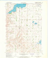
 1953 Watertown1968 Print · USGSEastern South Dakota and the Minnesota borderlands are captured here during the mid-twentieth century as the region's agricultural and rail-service centers thrived. Genealogists and local historians can trace family-named sites across the Coteau des Prairies and find landmarks in Watertown, De Smet, and Brookings.3 unique versions available
 - 1958 Map of Watertown
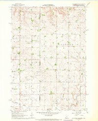
 1958 Watertown1958 Print · USGSThe eastern South Dakota prairie and the Minnesota borderlands are captured here in the late fifties, showcasing a landscape of terminal moraine lakes and burgeoning rail hubs. Genealogists and historians can trace the early paths of the Chicago and North Western railroad or locate family roots in Watertown, Clark, or the Sisseton Indian Reservation.2 unique versions available
 - 1967 Map of Lake Benton NW, 1968 Print
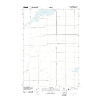
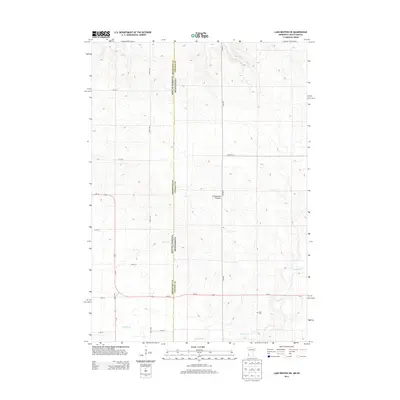
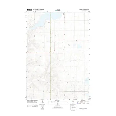
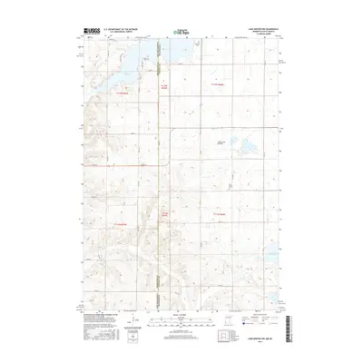
 1967 Lake Benton NW1968 Print · USGSThe prairie lake country of Lincoln County is documented here in the late sixties, just as modern conservation areas were becoming established. Researchers can locate family landmarks like Trulock Cem and New Grove Ch or trace the Chicago and North Western rail line.2 unique versions available
 - 1967 Map of Lake Benton SW, 1969 Print
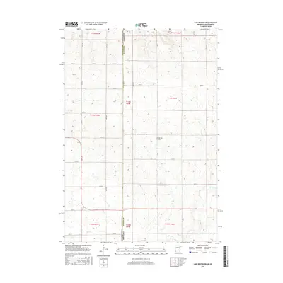
 1967 Lake Benton SW1969 Print · USGSThe Minnesota and South Dakota border comes into focus in the late sixties, capturing a quiet agricultural landscape of prairie townships. Genealogists and local historians can locate Stolz Cem, trace the path of Medary Creek, and find several mid-century Gravel Pits.
 - 1970 Map of White NE, 1972 Print
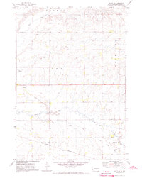
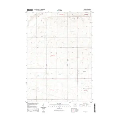
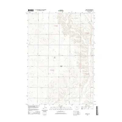
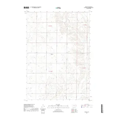
 1970 White NE1972 Print · USGSEastern Brookings County at the start of the 1970s shows a landscape of established townships and prairie waterways. Researchers can trace land boundaries near Oak Lake, locate the local Townhall, and study the shoreline of Lake Hendricks.
 - 1972 Map of White SE, 1973 Print
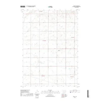
 1972 White SE1973 Print · USGSEastern South Dakota at the start of the seventies reveals a landscape of orderly townships and evolving transit lines. Trace the path of the Old Railroad Grade and active Chicago and North Western tracks through Alton and Elkton.
 - 1985 Map of Brookings
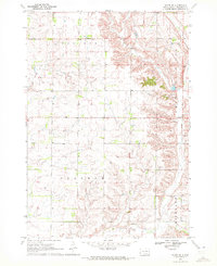
 1985 Brookings1985 Print · USGSThe South Dakota and Minnesota borderlands in the mid-1980s are defined here by a network of prairie lakes and bustling rail corridors. Researchers can trace the path of the Chicago and North Western through Brookings or explore the numerous wetlands of Oakwood Lakes State Park.2 unique versions available
 - 2010 Map of Lake Benton NW, 2010 Print
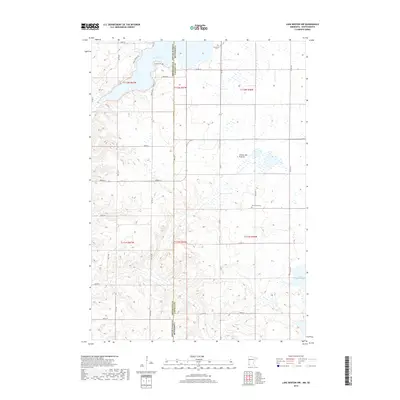
 2010 Lake Benton NW2010 Print · USGSCovers Richland Township, including Hendricks, Lake Hendricks Township, and other nearby areas
 - 2010 Map of Lake Benton SW, 2010 Print
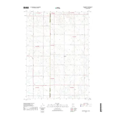
 2010 Lake Benton SW2010 Print · USGSCovers Richland Township, including Elkton Township, Brookings County, and other nearby areas
 - 2012 Map of White SE, 2012 Print
 2012 White SE2012 Print · USGSCovers Richland Township, including Alton Township, Sherman Township, and other nearby areas
 - 2012 Map of White NE, 2012 Print
 2012 White NE2012 Print · USGSCovers Richland Township, including Lake Hendricks Township, Sherman Township, and other nearby areas
 - 2013 Map of Lake Benton SW, 2013 Print
 2013 Lake Benton SW2013 Print · USGSCovers Richland Township, including Elkton Township, Brookings County, and other nearby areas
 - 2013 Map of Lake Benton NW, 2013 Print
 2013 Lake Benton NW2013 Print · USGSCovers Richland Township, including Hendricks, Lake Hendricks Township, and other nearby areas
 - 2015 Map of White SE, 2015 Print
 2015 White SE2015 Print · USGSCovers Richland Township, including Alton Township, Sherman Township, and other nearby areas
 - 2015 Map of White NE, 2015 Print
 2015 White NE2015 Print · USGSCovers Richland Township, including Lake Hendricks Township, Sherman Township, and other nearby areas
 - 2016 Map of Lake Benton NW, 2016 Print
 2016 Lake Benton NW2016 Print · USGSCovers Richland Township, including Hendricks, Lake Hendricks Township, and other nearby areas
 - 2016 Map of Lake Benton SW, 2016 Print
 2016 Lake Benton SW2016 Print · USGSCovers Richland Township, including Elkton Township, Brookings County, and other nearby areas
 - 2017 Map of White NE, 2017 Print
 2017 White NE2017 Print · USGSCovers Richland Township, including Lake Hendricks Township, Sherman Township, and other nearby areas
 - 2017 Map of White SE, 2017 Print
 2017 White SE2017 Print · USGSCovers Richland Township, including Alton Township, Sherman Township, and other nearby areas
 - 2019 Map of Lake Benton NW, 2019 Print
 2019 Lake Benton NW2019 Print · USGSCovers Richland Township, including Hendricks, Lake Hendricks Township, and other nearby areas
 - 2019 Map of Lake Benton SW, 2019 Print
 2019 Lake Benton SW2019 Print · USGSCovers Richland Township, including Elkton Township, Brookings County, and other nearby areas
 - 2021 Map of White SE, 2021 Print
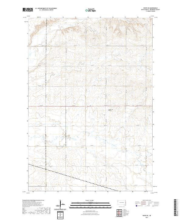 2021 White SE2021 Print · USGSBrookings County, South Dakota, is captured here in the early twenty-first century, showing a landscape defined by the vast Coteau des Prairies plateau. Researchers can trace rural property boundaries and water drainage along Medary Cr and Deer Cr within this traditional grid of section-line roads.
 - 2021 Map of White NE, 2021 Print
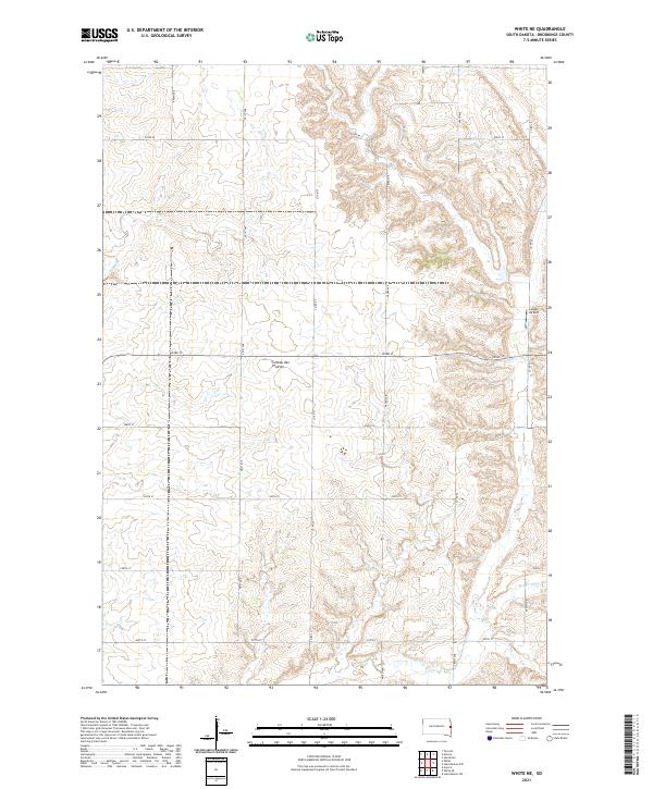 2021 White NE2021 Print · USGSBrookings County, South Dakota, is captured here in the early twenty-first century as a landscape defined by its glacial heritage and agricultural grid. Genealogists and local researchers can trace the rural sections of the Coteau des Prairies and locate landmarks like Lutgen Airport and Sixmile Cr.
 - 2022 Map of Lake Benton SW, 2022 Print
 2022 Lake Benton SW2022 Print · USGSThe high prairie along the Minnesota and South Dakota border is captured here in the early twenty-first century. Local historians can trace the rural landscape of Lincoln County and locate landmarks like the Stolz Cem and Medary Cr.
 - 2022 Map of Lake Benton NW, 2022 Print
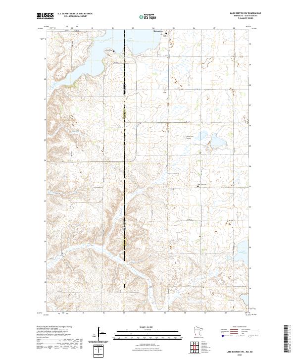 2022 Lake Benton NW2022 Print · USGSThe high plateau of the Coteau des Prairies straddles the Minnesota and South Dakota border in this contemporary survey. Local historians and genealogists can pinpoint regional landmarks like Trulock Cem, Lake Shaokatan, and the headwaters of the Lac qui Parle River.
End of results
Showing maps 1-25 of 25
Top cities near Richland Township
- Hendricks historical maps
- Lake Benton historical maps
- Elkton historical maps
- White historical maps
- Aurora historical maps
- Verdi historical maps
See more
Top neighborhoods of Richland Township
Frequently asked questions
- What are the different types of historical maps available for Richland Township?
- What is the oldest map of Richland Township?
- Where can I purchase historical maps of Richland Township for my home or office?
- Where can I download high-res historical maps of Richland Township?
- Are there historical topographic maps available for Richland Township?
- Is there historical aerial imagery available for Richland Township?
- Where are historical maps of Richland Township sourced from?