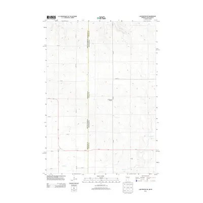
2013 Map of Lake Benton SW
USGS Topo · Published 2013About this map
The Coteau des Prairies plateau forms the primary landscape for this section of the borderlands where South Dakota and Minnesota meet. This high, glacially-carved upland is drained by the winding Medary Cr, which cuts across the southern portion of the sheet. The area is defined by a rigorous section-line road grid, including 487th Ave and 215th St, typical of the rural Midwest's agricultural development. In the lower right, the Stoltz Cem sits as a quiet landmark for genealogists and local historians, representing the long-settled farming families of the region. Major transit routes like Us-14 and Sd-13 intersect near the western border, highlighting the area's continued role as a crossroads for regional travel between Brookings and Lincoln counties.
Find a feature on this map
18 named features on this map. Tap any name to fly to it.
Don’t see what you’re looking for? This feature index may not catch every label — zoom into the map to look around manually.
Map Details
Editions of this 2013 Lake Benton SW Map
This is the sole edition of this map. No revisions or reprints were ever made.
Other maps of this area

1953 · Watertown
USGS Topo · 1:250,000

1958 · Watertown
USGS Topo · 1:250,000

1967 · Verdi
USGS Topo · 1:24,000

1967 · Lake Benton NW
USGS Topo · 1:24,000

1967 · Lake Benton
USGS Topo · 1:24,000

1967 · Lake Benton SW
USGS Topo · 1:24,000

1967 · Lake Benton NE
USGS Topo · 1:24,000

1967 · Elkton
USGS Topo · 1:24,000

1970 · White NE
USGS Topo · 1:24,000

1972 · Flandreau NE
USGS Topo · 1:24,000