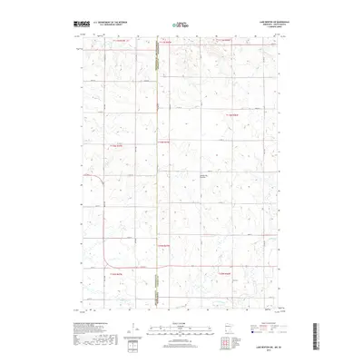
2019 Map of Lake Benton SW
USGS Topo · Published 2019About this map
Coteau des Prairies, a vast upland plateau, dominates the central landscape of this 2019 survey, crossing the border between South Dakota and Minnesota. The terrain is defined by its glacial heritage, where the high ridge of the Coteau meets the drainage of Medary Cr in the southern sections. This area of the Great Plains maintains a highly organized section-line road network, including routes like Co Rd 46 and Co Rd 13, which serve the dispersed agricultural community. A significant point for local history and genealogy is the Stolz Cem, located in the southeastern corner of the map. The map provides a precise look at the township and range boundaries that partitioned this prairie land, illustrating the persistent 19th-century surveying patterns that still dictate the modern rural geography of Brookings and Lincoln counties.
Find a feature on this map
26 named features on this map. Tap any name to fly to it.
Don’t see what you’re looking for? This feature index may not catch every label — zoom into the map to look around manually.
Map Details
Editions of this 2019 Lake Benton SW Map
This is the sole edition of this map. No revisions or reprints were ever made.
Other maps of this area

1953 · Watertown
USGS Topo · 1:250,000

1958 · Watertown
USGS Topo · 1:250,000

1967 · Verdi
USGS Topo · 1:24,000

1967 · Lake Benton NW
USGS Topo · 1:24,000

1967 · Lake Benton
USGS Topo · 1:24,000

1967 · Lake Benton SW
USGS Topo · 1:24,000

1967 · Lake Benton NE
USGS Topo · 1:24,000

1967 · Elkton
USGS Topo · 1:24,000

1970 · White NE
USGS Topo · 1:24,000

1972 · Flandreau NE
USGS Topo · 1:24,000