2020s Maps of Brown County, South Dakota
Explore 52 historic maps of Brown County from the 2020s. These maps offer a rare glimpse into what life looked like during the 2020s — showing old roads, neighborhoods, homes, and landmarks that have changed or disappeared over time.
Whether you're researching your family's past, planning a metal detecting trip, or studying how Brown County's landscape evolved across the 2020s, these high-resolution maps are a powerful tool for exploring the history of this region.
- Focus on a specific era: All maps on this page are from the 2020s, giving you a focused view of this time period.
- See what’s changed: Compare century-old streets, trails, and buildings to today's modern landscape using overlays and satellite layers.
- Research with precision: Use these maps for genealogy, historical research, land use analysis, or educational projects.
- View, download, or print: Maps are fully viewable online in high resolution, and can be downloaded or printed for your own records.
Start exploring Brown County's history through authentic maps from the 2020s. This is your window into the past.
Brown County, SD maps
(52)- 2020 Map of Hecla NE, 2020 Print
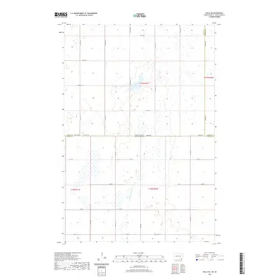 2020 Hecla NE2020 Print · USGSThe North Dakota and South Dakota borderlands are captured here in the early twenty-first century, showing a landscape defined by industrial-scale agriculture and water management. Researchers can trace the path of Portage Detroit Ditch and the intersection of Dickey, Sargent, and Brown counties.
 - 2020 Map of Newark NW, 2020 Print
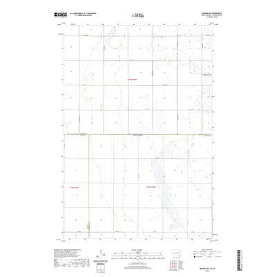 2020 Newark NW2020 Print · USGSThe North Dakota and South Dakota borderlands meet in this modern survey of a wetland-dotted prairie landscape. Genealogists and researchers can trace the intersection of Sargent Co, Brown Co, and Marshall Co along 100th St and 115th Ave SE.
 - 2020 Map of Ellendale South, 2020 Print
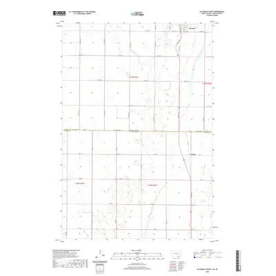 2020 Ellendale South2020 Print · USGSThe borderlands of North Dakota and South Dakota come into focus in this study of the prairie south of the James River Valley. Genealogists and local historians can trace the grid of rural avenues connecting Ellendale to the small community of Winship near Dry Branch.
 - 2021 Map of Mellette, 2021 Print
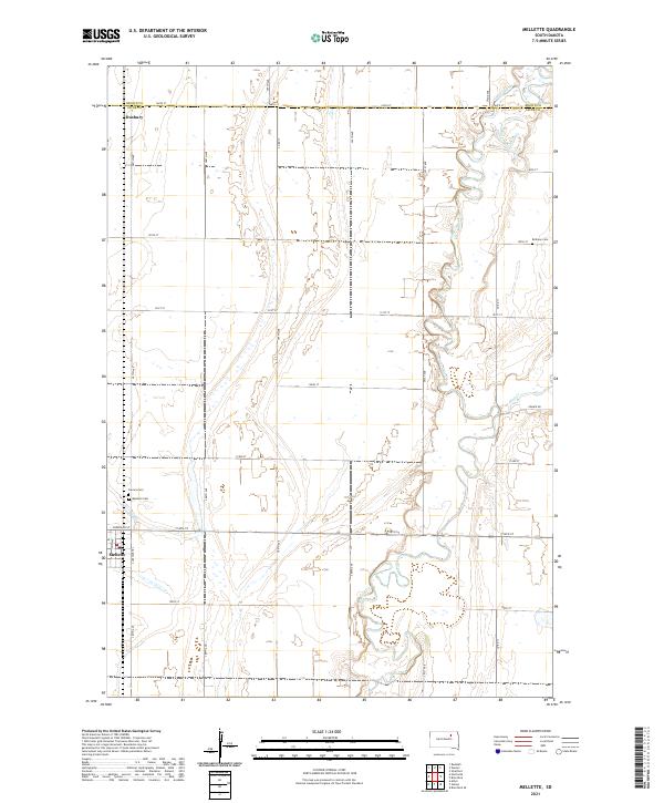 2021 Mellette2021 Print · USGSSpink County agriculture and the winding James River valley define this South Dakota landscape in the early 2020s. Genealogists and researchers can locate the town of Mellette, the smaller Duxbury, and local landmarks like Bethany Cem and Calvary Cem.
 - 2021 Map of Ferney, 2021 Print
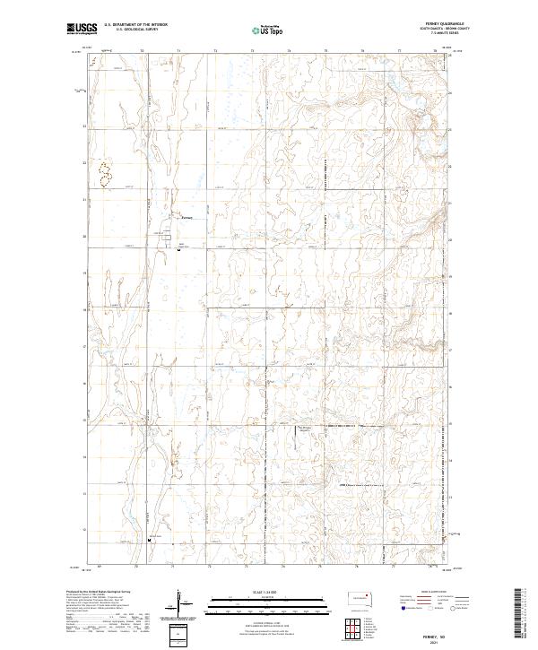 2021 Ferney2021 Print · USGSThe rural prairie of Brown County is captured here in the early twenty-first century, centered on the small community of Ferney. Researchers can locate family sites and local landmarks like Saint Pauls Cem, Verdon Cem, and the Hite Private Airport.
 - 2021 Map of Amherst, 2021 Print
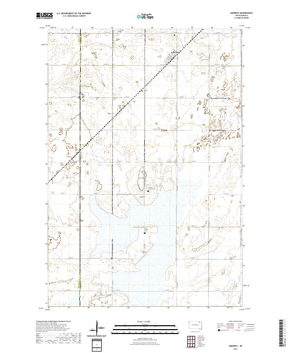 2021 Amherst2021 Print · USGSThe community of Amherst is the focal point of this modern survey of the northeastern South Dakota plains. Genealogists and local historians can trace legacy sites like the Newport Colony Cem and Free Mission Cem among the wetlands.
 - 2021 Map of Frederick SW, 2021 Print
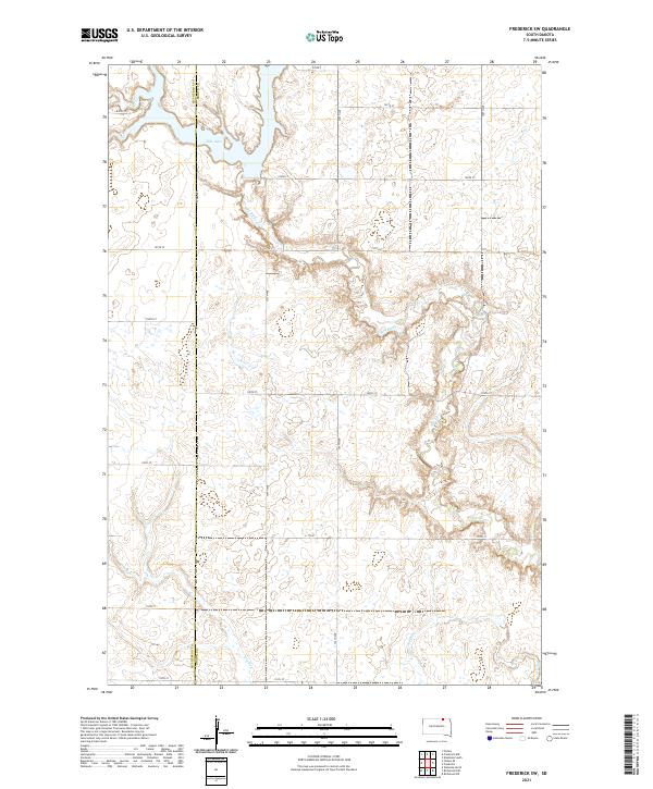 2021 Frederick SW2021 Print · USGSThe McPherson and Brown County borderlands come into focus in this recent survey of northern South Dakota's glaciated plains. Researchers can trace the winding course of the Elm River as it feeds into Elm Lake and follow the rigid section-line grid of rural routes like Co Rd 2.
 - 2021 Map of Claremont, 2021 Print
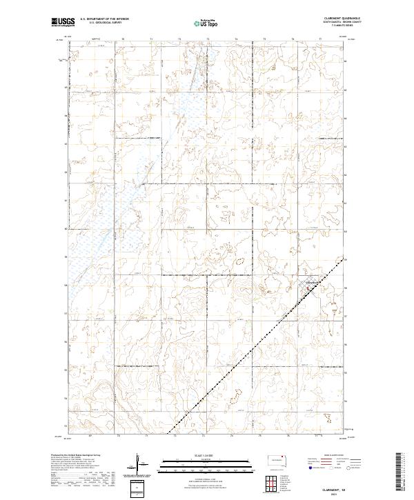 2021 Claremont2021 Print · USGSClaremont and the surrounding Brown County prairie are captured here in the early twenty-first century. Genealogists and local historians can trace the precise township grids and section lines of Claremont, alongside the course of the Crow Cr Drainage Ditch.
 - 2021 Map of Columbia NE, 2021 Print
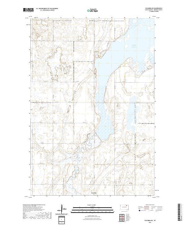 2021 Columbia NE2021 Print · USGSThe James River valley and the northern outskirts of Columbia are captured here in the early twenty-first century. Researchers can trace rural property lines along Roettele Rd or follow the Auto Tour Rte as it skirts the Columbia Road Reservoir.
 - 2021 Map of Richmond NE, 2021 Print
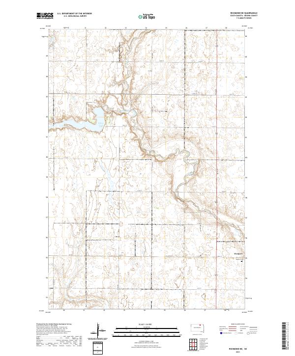 2021 Richmond NE2021 Print · USGSBrown County's prairie landscape near the Elm River is captured here in the early twenty-first century. Genealogists and local historians can trace the rural layout of Westport, locate the Westport Cem, and study the drainage of Willow Creek Lake.
 - 2021 Map of Putney, 2021 Print
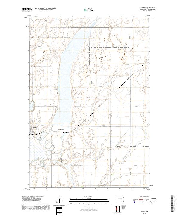 2021 Putney2021 Print · USGSBrown County's agricultural heartland is documented here in the early twenty-first century, centered on the small settlement of Putney. Researchers can trace the water management systems of the Putney Slough, the course of the James River, and the layout of Tacoma Park.
 - 2021 Map of Daly Corners, 2021 Print
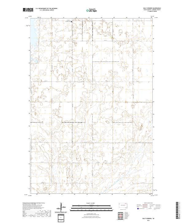 2021 Daly Corners2021 Print · USGSBrown County's rural townships are captured here during the early twenty-first century, showing the enduring grid of section-line roads and prairie potholes. Genealogists and local historians can locate the Houghton Cem and the settlement at Daly Corners.
 - 2021 Map of Groton, 2021 Print
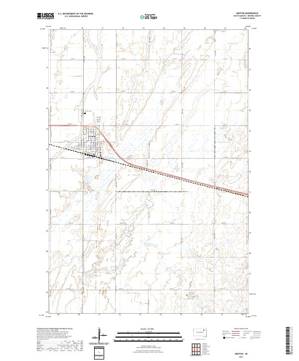 2021 Groton2021 Print · USGSThe agricultural plains of eastern South Dakota are documented in detail during the early twenty-first century. Researchers can trace the layout of Groton, locate the Groton Cem, and follow the meandering course of Mud Cr through the surrounding township sections.
 - 2021 Map of Houghton, 2021 Print
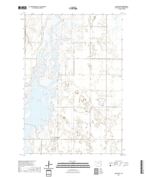 2021 Houghton2021 Print · USGSBrown County, South Dakota, is captured here in the early 2020s, showcasing the prairie landscape along the James River. Researchers can trace local landmarks like Houghton, the Columbia Road Reservoir, and the rail-aligned Railway St.
 - 2021 Map of Rudolph, 2021 Print
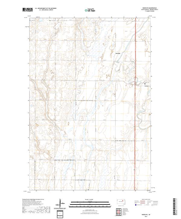 2021 Rudolph2021 Print · USGSAgricultural life in Brown County near the mid-century mark is defined by the grid of section roads and the winding path of Moccasin Creek. Genealogists and local historians can trace the settlement at Warner and find the exact location of the Warner Cem.
 - 2021 Map of Groton SW, 2021 Print
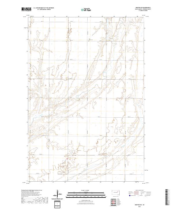 2021 Groton SW2021 Print · USGSBrown County farmland is captured here in the early twenty-first century, showing the enduring grid of the South Dakota prairie. Researchers can locate the West Hanson Cem and trace the seasonal drainage of Mud Cr and Dry Run through the sections.
 - 2021 Map of Richmond, 2021 Print
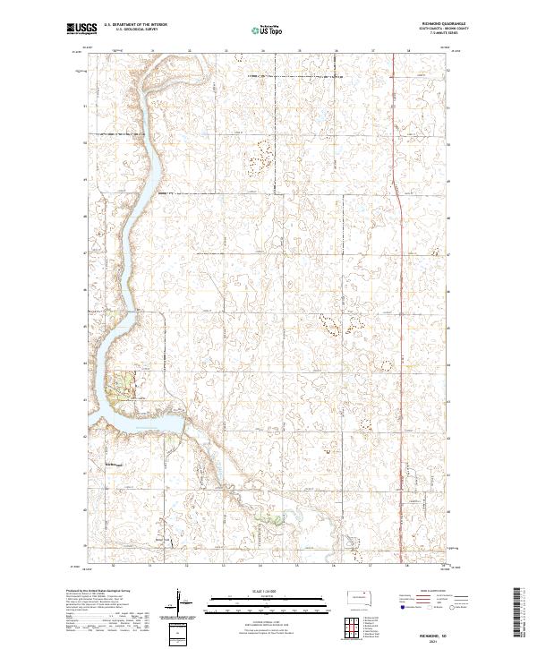 2021 Richmond2021 Print · USGSBrown County in the 2020s reflects a balance of prairie agriculture and lakeside living. Researchers can trace local development around Richmond Lake, finding features like Barber Field, the settlement of Richmond, and Foot Creek.
 - 2021 Map of Savo SE, 2021 Print
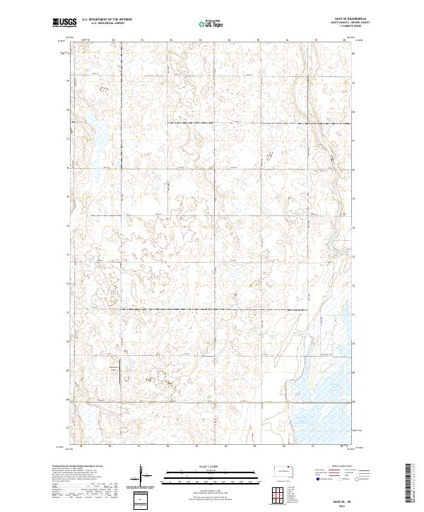 2021 Savo SE2021 Print · USGSNortheastern South Dakota's glaciated landscape is shown here in the early twenty-first century, centered on the James River valley. Genealogists and outdoor historians can trace rural section lines near Columbia Road Reservoir and the Auto Tour Rte.
 - 2021 Map of Randolph, 2021 Print
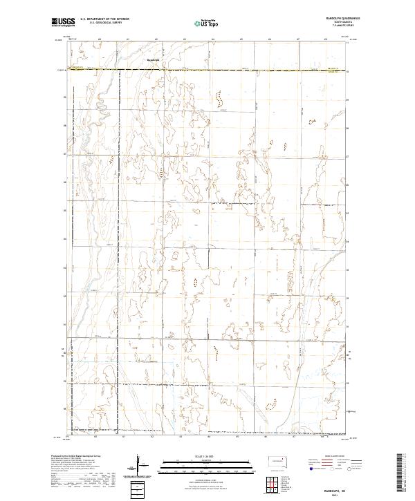 2021 Randolph2021 Print · USGSSpink County and Brown County meet in this agricultural landscape during the early twenty-first century. A researcher can trace the sparsely populated section lines around the settlement of Randolph or follow the drainage of Dry Run through the western plains.
 - 2021 Map of Savo NE, 2021 Print
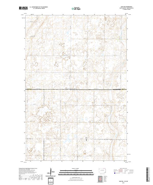 2021 Savo NE2021 Print · USGSThe borderlands of the Dakotas appear as a structured prairie grid in the early twenty-first century. Researchers can trace family history at Peace Lutheran Cem and follow the natural course of Dry Run across the state line near Cannon Hill.
 - 2021 Map of Savo NW, 2021 Print
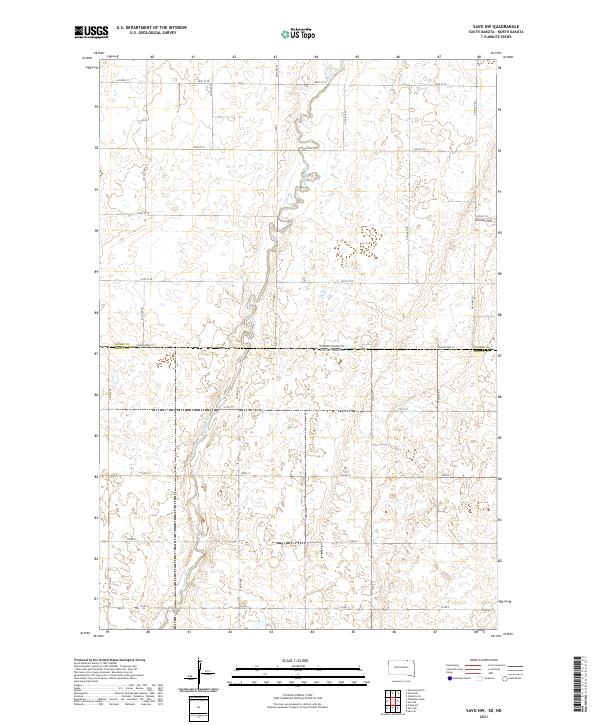 2021 Savo NW2021 Print · USGSThe North and South Dakota borderlands are captured here in the early twenty-first century, showing a landscape shaped by water and the section grid. Researchers can trace the path of the Maple River or locate landmarks like Cannon Hill near the state line.
 - 2021 Map of Richmond NW, 2021 Print
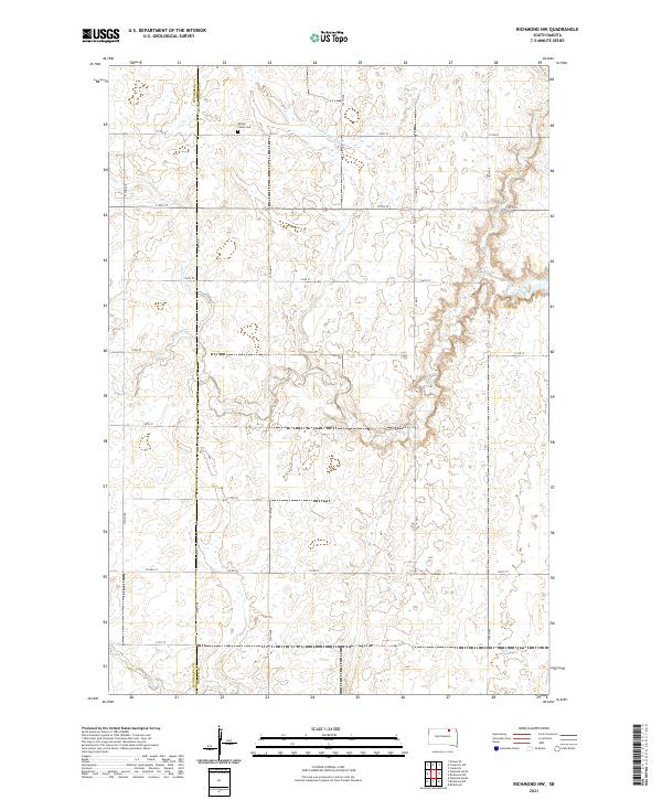 2021 Richmond NW2021 Print · USGSNorthern South Dakota remains a landscape of traditional section lines and prairie drainage in the early twenty-first century. Genealogists and local historians can locate Willow Creek Cem and trace the paths of Willow Cr and Dry Run as they weave through the section grid.
 - 2021 Map of Chelsea, 2021 Print
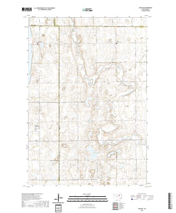 2021 Chelsea2021 Print · USGSThe crossroads community of Chelsea and the surrounding prairie are captured here in the early 2020s. Genealogists and local historians can trace burial sites at Scatterwood Lakeside Cem and Trinity Lutheran Cem or follow the winding course of Snake Creek.
 - 2021 Map of Hecla, 2021 Print
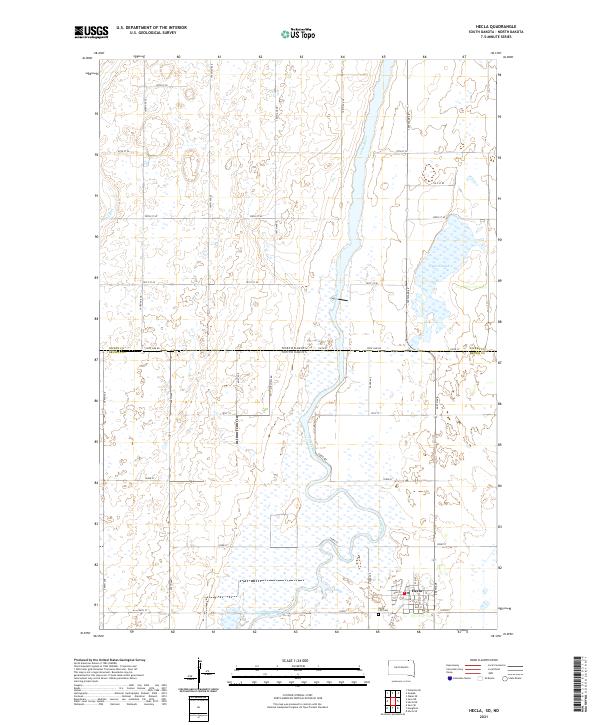 2021 Hecla2021 Print · USGSThe prairie borderland near the South Dakota line comes into focus in this recent survey of the James River valley. Genealogists can locate family sites in Hecla or the Hecla City Cem, while tracking the river's path past Hyatt Slough.
 - 2021 Map of Huffton, 2021 Print
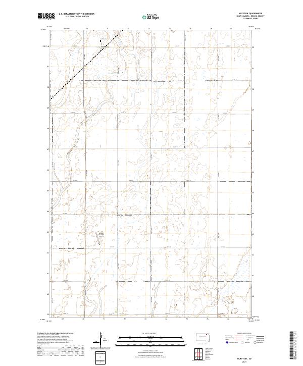 2021 Huffton2021 Print · USGSThe rural landscape of Brown County is captured in the early twenty-first century, showing the enduring grid of section-line roads and prairie settlements. Researchers can trace family history at Huffton Cem or explore the development of Huffton and the Groton Municipal Airport.
Showing maps 1-25 of 52
Frequently asked questions
- What are the different types of historical maps available for Brown County?
- What is the oldest map of Brown County?
- Where can I purchase historical maps of Brown County for my home or office?
- Where can I download high-res historical maps of Brown County?
- Are there historical topographic maps available for Brown County?
- Is there historical aerial imagery available for Brown County?
- Where are historical maps of Brown County sourced from?