Old Maps of Westport Township, South Dakota
Explore 26 old maps of Westport Township, spanning from 1894 to today. These high-resolution historic maps reveal how streets, neighborhoods, landmarks, and natural features evolved over time — perfect for genealogy, metal detecting, research, and local history exploration.
What you can do with these maps:
- See how Westport Township changed over time: Compare historical maps to modern-day views to trace roads, homesites, rail lines & more.
- View detailed metadata: Each map includes creators, publishers, year, scale, and archive source.
- Overlay maps with satellite & LiDAR: Visualize the past alongside modern tools to explore terrain & human change.
- Trusted historical sources: Maps sourced from the USGS, Library of Congress, and other archives.
- Access maps your way: View online, download high-res files, or order prints for personal or research use.
Start exploring old maps of Westport Township to uncover forgotten places, hidden landmarks, and the deep history beneath your feet.
Westport Township, SD maps
(26)- 1894 Map of Columbia
 1894 Columbia1894 Print · USGSBrown County in the 1890s reveals a prairie landscape defined by the winding James River and a growing railroad network. Genealogists and historians can trace early settlements like Columbia, Ordway, and Westport along the emerging lines of the Chicago and Northwestern.
 - 1896 Map of Columbia
 1896 Columbia1896 Print · USGSSettlement along the upper James River valley flourished in the 1890s as railroads expanded through the Dakota Territory. Trace the rail-fed growth of Columbia and Hecla alongside the waters of Sand Lake and Lake Columbia.3 unique versions available
 - 1899 Map of Ellendale
 1899 Ellendale1899 Print · USGSNorth Dakota and South Dakota borderlands come into focus at the close of the nineteenth century as the railroad transforms the prairie. Genealogists and historians can trace the early growth of Ellendale and Leola along with vanished stops like Alpha and Delhi.2 unique versions available
 - 1952 Map of Ordway, 1954 Print
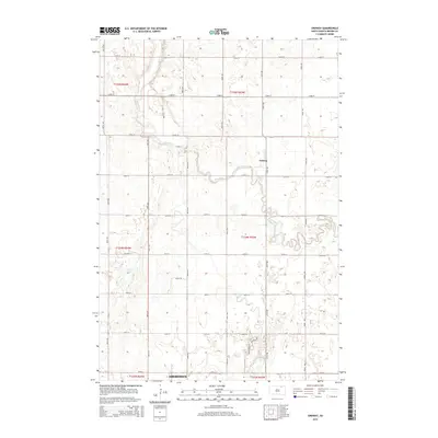
 1952 Ordway1954 Print · USGSMid-century Brown County is defined here by the winding Elm River and the rural rail crossroads at Ordway. Genealogists and local historians can trace the locations of the Thorson Sch, Prairie View Sch, and the Aberdeen Filtration Plant.
 - 1952 Map of Westport, 1954 Print
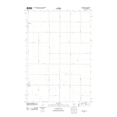
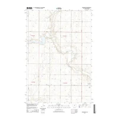
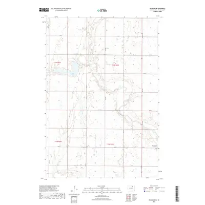
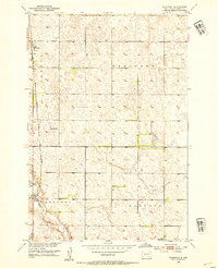 1952 Westport1954 Print · USGSBrown County's prairie landscape is captured here in the early fifties, following the path of the Elm River through the townships of Oneota and Brainard. Genealogists and historians can trace the rail-side growth of Westport and Barnard or locate the rural Kelly Sch.2 unique versions available
 - 1952 Map of Richmond NE, 1954 Print
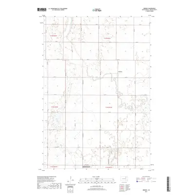
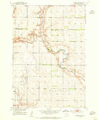 1952 Richmond NE1954 Print · USGSBrown County's prairie landscape in the early fifties shows a rural community in transition as schools and small settlements consolidate. Researchers can locate family landmarks like the Westport Cem and trace the paths of Willow Creek and the Elm River.2 unique versions available
 - 1954 Map of Aberdeen, 1964 Print
 1954 Aberdeen1964 Print · USGSNortheastern South Dakota in the mid-fifties remains a world of rail-dependent prairie towns and sweeping waterfowl refuges. Genealogists can trace family roots through settlements like Eureka and Ipswich or locate rural landmarks near Richmond Lake.2 unique versions available
 - 1956 Map of Aberdeen
 1956 Aberdeen1956 Print · USGSUpper South Dakota during the mid-fifties remains a landscape of rail-connected farming towns and expansive glacial lake basins. Genealogists and historians can trace the paths of the Minneapolis and St Louis railroad through Gettysburg or locate vanished stops near Elm Lake and Richmond Lake.
 - 1970 Map of Richmond, 1973 Print
 1970 Richmond1973 Print · USGSBrown County's rural prairie and waterscapes are captured here in the early 1970s, as the Missouri River Basin development era shaped the land. Local historians can trace the Old RR Grade and explore the grounds of Richmond and the County Youth Camp.
 - 1985 Map of Elm River
 1985 Elm River1985 Print · USGSSpanning the state line during the mid-eighties, this area shows a landscape of river-fed reservoirs and agricultural colonies. Genealogists and historians can locate communal settlements like Spring Creek Colony and rail stops along the Burlington Northern Railroad or the Chicago and North Western Railroad.2 unique versions available
 - 2012 Map of Richmond NE, 2012 Print
 2012 Richmond NE2012 Print · USGSCovers Westport Township, including Westport, Oneota Township, and other nearby areas
 - 2012 Map of Ordway, 2012 Print
 2012 Ordway2012 Print · USGSCovers Westport Township, including Aberdeen, Ordway, and other nearby areas
 - 2012 Map of Westport, 2012 Print
 2012 Westport2012 Print · USGSCovers Westport Township, including Westport, Oneota Township, and other nearby areas
 - 2012 Map of Richmond, 2012 Print
 2012 Richmond2012 Print · USGSCovers Westport Township, including Mercier Township, Lincoln Township, and other nearby areas
 - 2015 Map of Westport, 2015 Print
 2015 Westport2015 Print · USGSCovers Westport Township, including Westport, Oneota Township, and other nearby areas
 - 2015 Map of Ordway, 2015 Print
 2015 Ordway2015 Print · USGSCovers Westport Township, including Aberdeen, Ordway, and other nearby areas
 - 2015 Map of Richmond NE, 2015 Print
 2015 Richmond NE2015 Print · USGSCovers Westport Township, including Westport, Oneota Township, and other nearby areas
 - 2015 Map of Richmond, 2015 Print
 2015 Richmond2015 Print · USGSCovers Westport Township, including Mercier Township, Lincoln Township, and other nearby areas
 - 2017 Map of Richmond, 2017 Print
 2017 Richmond2017 Print · USGSCovers Westport Township, including Mercier Township, Lincoln Township, and other nearby areas
 - 2017 Map of Westport, 2017 Print
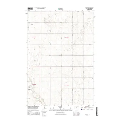
 2017 Westport2017 Print · USGSCovers Westport Township, including Westport, Oneota Township, and other nearby areas
 - 2017 Map of Ordway, 2017 Print
 2017 Ordway2017 Print · USGSCovers Westport Township, including Aberdeen, Ordway, and other nearby areas
 - 2017 Map of Richmond NE, 2017 Print
 2017 Richmond NE2017 Print · USGSCovers Westport Township, including Westport, Oneota Township, and other nearby areas
 - 2021 Map of Richmond NE, 2021 Print
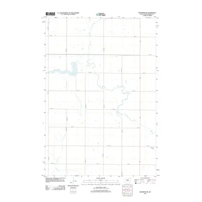
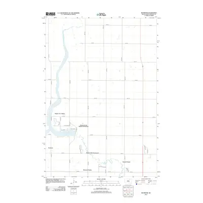
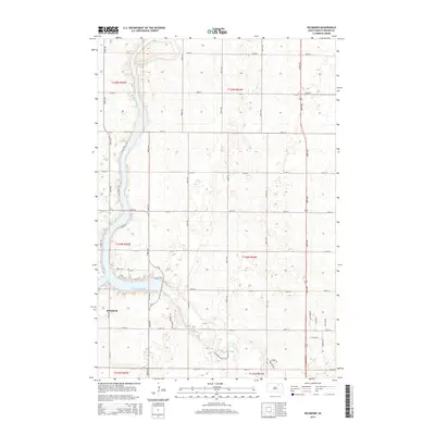
 2021 Richmond NE2021 Print · USGSBrown County's prairie landscape near the Elm River is captured here in the early twenty-first century. Genealogists and local historians can trace the rural layout of Westport, locate the Westport Cem, and study the drainage of Willow Creek Lake.
 - 2021 Map of Richmond, 2021 Print
 2021 Richmond2021 Print · USGSBrown County in the 2020s reflects a balance of prairie agriculture and lakeside living. Researchers can trace local development around Richmond Lake, finding features like Barber Field, the settlement of Richmond, and Foot Creek.
 - 2021 Map of Westport, 2021 Print
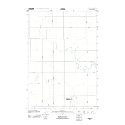
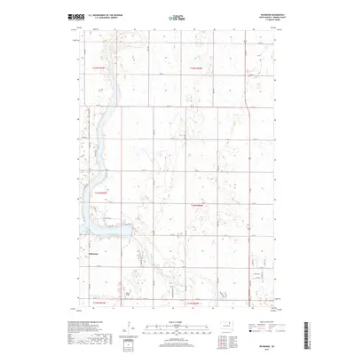
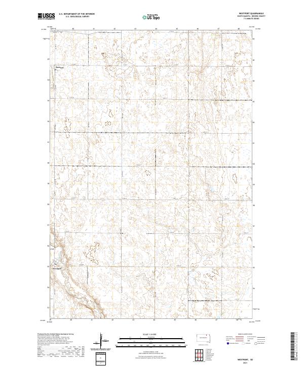 2021 Westport2021 Print · USGSBrown County agriculture and small-town life are captured here in the early 2020s. Researchers can trace the layout of Westport and the settlement of Barnard along the path of the Elm River.
Showing maps 1-25 of 26
Top cities near Westport Township
- Aberdeen historical maps
- Bath historical maps
- Ordway historical maps
- Frederick historical maps
- Columbia historical maps
- Westport historical maps
Top neighborhoods of Westport Township
Frequently asked questions
- What are the different types of historical maps available for Westport Township?
- What is the oldest map of Westport Township?
- Where can I purchase historical maps of Westport Township for my home or office?
- Where can I download high-res historical maps of Westport Township?
- Are there historical topographic maps available for Westport Township?
- Is there historical aerial imagery available for Westport Township?
- Where are historical maps of Westport Township sourced from?