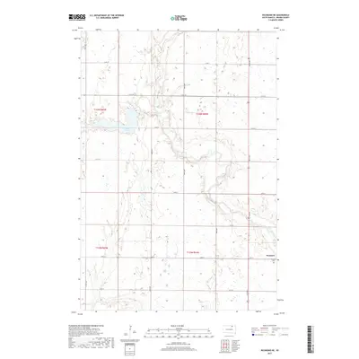
2017 Map of Richmond NE
USGS Topo · Published 2017About this map
Westport sits on the eastern edge of this Brown County landscape, positioned along the corridor defined by Co Rd 9. The area is characterized by the winding path of the Elm River, which snakes across the central townships, and the drainage of Willow Cr feeding into Willow Cr Lake. This 2017 survey reflects the enduring grid of the Public Land Survey System, with townships like t125n r64w and t126n r64w defining the local geography. For those tracing local history or family roots, the Westport Cem serves as a primary landmark just south of the main settlement. The map provides a clear view of the section-line road network, including Co Rd 7 and 384th Ave, which facilitate movement through this agricultural region.
Find a feature on this map
24 named features on this map. Tap any name to fly to it.
Don’t see what you’re looking for? This feature index may not catch every label — zoom into the map to look around manually.
Map Details
Editions of this 2017 Richmond NE Map
This is the sole edition of this map. No revisions or reprints were ever made.
Other maps of this area

1894 · Ellendale
USGS Topo · 1:62,500

1894 · Columbia
USGS Topo · 1:62,500

1894 · Savo
USGS Topo · 1:62,500

1896 · Columbia
USGS Topo · 1:125,000

1899 · Ellendale
USGS Topo · 1:125,000

1952 · Ordway
USGS Topo · 1:24,000

1952 · Westport
USGS Topo · 1:24,000

1952 · Richmond NE
USGS Topo · 1:24,000

1953 · Savo SW
USGS Topo · 1:24,000

1953 · Frederick
USGS Topo · 1:24,000