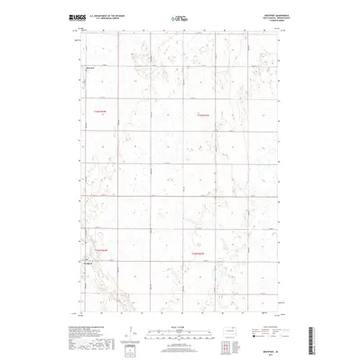
2017 Map of Westport
USGS Topo · Published 2017About this map
Westport and Barnard anchor this Brown County landscape, situated along the meandering course of the Elm River. The settlement pattern follows a rigid Jeffersonian grid of section lines, with numbered avenues and streets like 387th Ave and 118th St defining the agricultural character of the region. This 2017 survey shows the enduring structure of Westport, where local infrastructure such as Main St and Co Rd 10 connects these small prairie communities. The terrain is notably marked by numerous small wetlands and depressions typical of the glaciated plains, interspersed among the vast tracts of farmland that dominate the quadrangle's boundaries.
Find a feature on this map
23 named features on this map. Tap any name to fly to it.
Don’t see what you’re looking for? This feature index may not catch every label — zoom into the map to look around manually.
Map Details
Editions of this 2017 Westport Map
This is the sole edition of this map. No revisions or reprints were ever made.
Other maps of this area

1894 · Ellendale
USGS Topo · 1:62,500

1894 · Columbia
USGS Topo · 1:62,500

1894 · Savo
USGS Topo · 1:62,500

1896 · Columbia
USGS Topo · 1:125,000

1899 · Ellendale
USGS Topo · 1:125,000

1952 · Columbia
USGS Topo · 1:24,000

1952 · Ordway
USGS Topo · 1:24,000

1952 · Columbia NE
USGS Topo · 1:24,000

1952 · Westport
USGS Topo · 1:24,000

1952 · Richmond NE
USGS Topo · 1:24,000