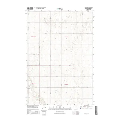
2015 Map of Westport
USGS Topo · Published 2015About this map
The Westport area of Brown County, South Dakota, reveals a landscape defined by the Public Land Survey System and the meandering path of the Elm River. The settlement of Barnard sits in the northwest corner, positioned along a grid of section lines that organize the agricultural prairie. This 2015 topographic survey illustrates the enduring rectilinear layout of the region, where roads like 387th Ave and 114th St serve as both transportation corridors and property boundaries. The survey captures the subtle topography of the James River Valley, with numerous small depressions and drainage patterns typical of this glaciated plains environment. The river itself winds through the southern portion of the quadrangle, passing just below Westport, providing a natural contrast to the rigid geometry of the surrounding township and range divisions such as t126n r64w and t125n r63w.
Find a feature on this map
59 named features on this map. Tap any name to fly to it.
Don’t see what you’re looking for? This feature index may not catch every label — zoom into the map to look around manually.
Map Details
Editions of this 2015 Westport Map
This is the sole edition of this map. No revisions or reprints were ever made.
Other maps of this area

1894 · Ellendale
USGS Topo · 1:62,500

1894 · Columbia
USGS Topo · 1:62,500

1894 · Savo
USGS Topo · 1:62,500

1896 · Columbia
USGS Topo · 1:125,000

1899 · Ellendale
USGS Topo · 1:125,000

1952 · Columbia
USGS Topo · 1:24,000

1952 · Ordway
USGS Topo · 1:24,000

1952 · Columbia NE
USGS Topo · 1:24,000

1952 · Westport
USGS Topo · 1:24,000

1952 · Richmond NE
USGS Topo · 1:24,000