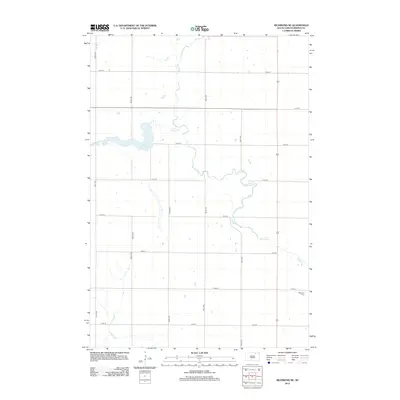
2012 Map of Richmond NE
USGS Topo · Published 2012About this map
The Elm River meanders through this portion of Brown County, carving a distinct hydrological pattern across the Westport Township landscape. The river is joined by Willow Cr, which feeds into the prominent Willow Creek Lake in the western section of the quadrangle. This area of South Dakota is defined by its rigid section-line road grid, where routes like 114th St and 384th Ave facilitate travel between scattered agricultural homesteads. Near the eastern edge, the Westport Cem provides a primary point of interest for genealogists tracing early families of the region. The intermittent drainage of Dry Run further illustrates the prairie terrain's water management challenges. The map captures the quiet, rural character of the northern plains, where natural waterways remain the most significant landmarks against the surveyed township and range lines.
Find a feature on this map
18 named features on this map. Tap any name to fly to it.
Don’t see what you’re looking for? This feature index may not catch every label — zoom into the map to look around manually.
Map Details
Editions of this 2012 Richmond NE Map
This is the sole edition of this map. No revisions or reprints were ever made.
Other maps of this area

1894 · Ellendale
USGS Topo · 1:62,500

1894 · Columbia
USGS Topo · 1:62,500

1894 · Savo
USGS Topo · 1:62,500

1896 · Columbia
USGS Topo · 1:125,000

1899 · Ellendale
USGS Topo · 1:125,000

1952 · Ordway
USGS Topo · 1:24,000

1952 · Westport
USGS Topo · 1:24,000

1952 · Richmond NE
USGS Topo · 1:24,000

1953 · Savo SW
USGS Topo · 1:24,000

1953 · Frederick
USGS Topo · 1:24,000