Old Maps of Mound City, South Dakota for Hiking & Exploration
Hike through history with 8 historic maps of Mound City. Explore old trails, ghost towns, and forgotten backroads — perfect for outdoor adventurers and local explorers.
- Rediscover forgotten places: Map out old mining camps, roads, and footpaths that no longer exist on modern maps.
- Layer with modern tools: Combine with LiDAR or satellite views to plan hikes through historical terrain.
- Made for exploration: Popular among hikers, overlanders, and local history lovers.
Use these maps to find adventure and explore the hidden past of Mound City.
Mound City, SD maps
(8)- 1953 Map of McIntosh, 1965 Print
 1953 McIntosh1965 Print · USGSThe north-central Dakota prairie is captured here during the mid-fifties, showing the vast Standing Rock Indian Reservation and the newly formed Oah E Reservoir. Genealogists and historians can trace the Chicago Milwaukee St Paul and Pacific rail line through stops like McIntosh, Walker, and Eagle Butte.3 unique versions available
 - 1958 Map of McIntosh
 1958 McIntosh1958 Print · USGSThe north-central Dakotas appear here in the mid-1950s as massive engineering projects and rail lines shaped the plains. Researchers can trace tribal lands within the Standing Rock Indian Reservation and locate local landmarks like the Keller Mine or the Virginia Siding.
 - 1967 Map of Mound City, 1969 Print
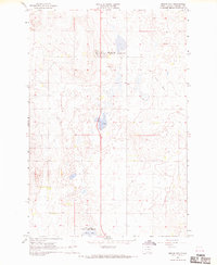 1967 Mound City1969 Print · USGSCampbell County comes into focus in the late sixties as a landscape of prairie agriculture and conservation. Family historians and researchers can locate the Mound City Cem, trace the Old Railroad Grade, and explore the Sand Lake State Game Refuge.
 - 1985 Map of Mobridge
 1985 Mobridge1985 Print · USGSCrossing the Missouri River in the mid-1980s, this landscape reveals the intersection of the Standing Rock Indian Reservation and the rising waters of Lake Oahe. Researchers can locate significant historical markers such as Sitting Bulls Grave, St Elizabeth Mission Home, and the Leavenworth Monument.2 unique versions available
 - 2012 Map of Mound City, 2012 Print
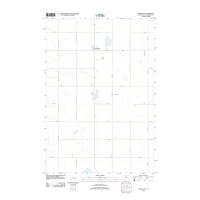 2012 Mound City2012 Print · USGSCovers Mound City, including Campbell County, United States, and other nearby areas
 - 2015 Map of Mound City, 2015 Print
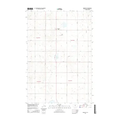 2015 Mound City2015 Print · USGSCovers Mound City, including Campbell County, United States, and other nearby areas
 - 2017 Map of Mound City, 2017 Print
 2017 Mound City2017 Print · USGSCovers Mound City, including Campbell County, United States, and other nearby areas
 - 2021 Map of Mound City, 2021 Print
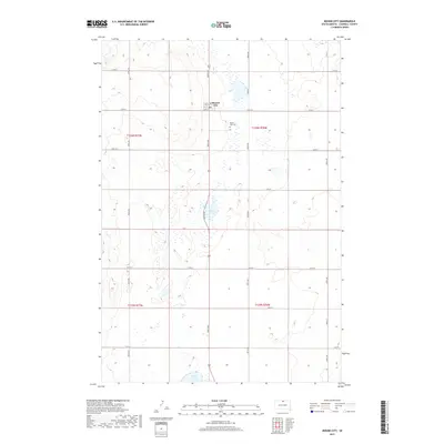
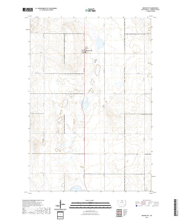 2021 Mound City2021 Print · USGSMound City, the seat of Campbell County, is captured here in the early twenty-first century amidst a landscape of prairie potholes and agricultural grids. Genealogists can locate family sites near the Mound City Cem or the Campbell County Courthouse, while water features like Renz Lake and Sand Lake dot the surrounding township lines.
End of results
Showing maps 1-8 of 8
Top cities near Mound City
- Selby historical maps
- Herreid historical maps
- Pollock historical maps
- Java historical maps
- Glenham historical maps
Frequently asked questions
- What are the different types of historical maps available for Mound City?
- What is the oldest map of Mound City?
- Where can I purchase historical maps of Mound City for my home or office?
- Where can I download high-res historical maps of Mound City?
- Are there historical topographic maps available for Mound City?
- Is there historical aerial imagery available for Mound City?
- Where are historical maps of Mound City sourced from?