2000s (21st Century) Maps of Henry Township, South Dakota
Explore 16 historic maps of Henry Township from the 2000s (21st Century). These maps offer a rare glimpse into what life looked like during the 2000s — showing old roads, neighborhoods, homes, and landmarks that have changed or disappeared over time.
Whether you're researching your family's past, planning a metal detecting trip, or studying how Henry Township's landscape evolved across the 2000s, these high-resolution maps are a powerful tool for exploring the history of this region.
- Focus on a specific era: All maps on this page are from the 2000s, giving you a focused view of this time period.
- See what’s changed: Compare century-old streets, trails, and buildings to today's modern landscape using overlays and satellite layers.
- Research with precision: Use these maps for genealogy, historical research, land use analysis, or educational projects.
- View, download, or print: Maps are fully viewable online in high resolution, and can be downloaded or printed for your own records.
Start exploring Henry Township's history through authentic maps from the 2000s. This is your window into the past.
Henry Township, SD maps
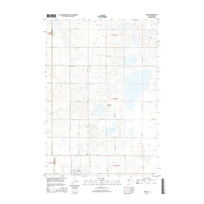
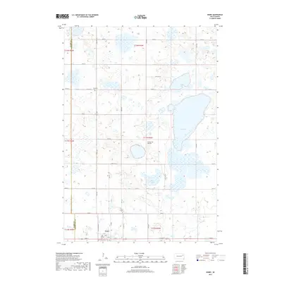
(16)- 2012 Map of Henry, 2012 Print
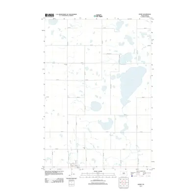 2012 Henry2012 Print · USGSCovers Henry Township, including Henry, Phipps Township, and other nearby areas
 - 2012 Map of Hazel, 2012 Print
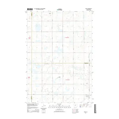
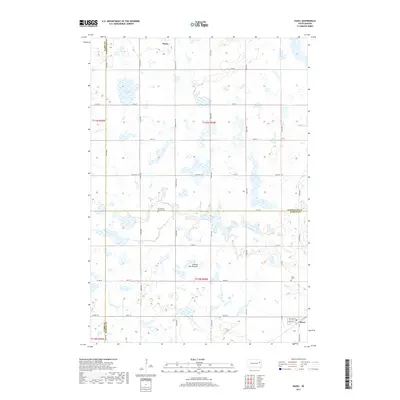
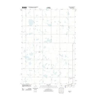 2012 Hazel2012 Print · USGSCovers Henry Township, including Henry, Hazel, and other nearby areas
 - 2012 Map of Grover, 2012 Print
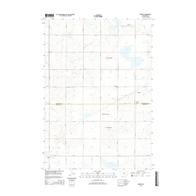
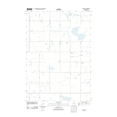 2012 Grover2012 Print · USGSCovers Henry Township, including Hazel, Oxford Township, and other nearby areas
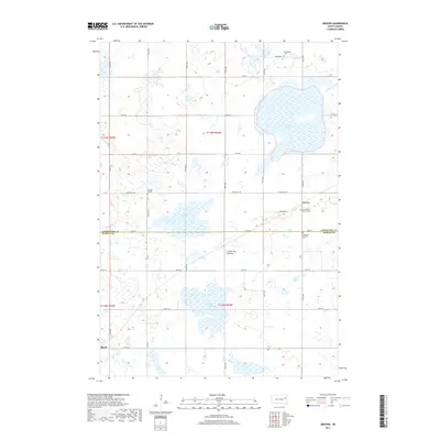
 - 2012 Map of Kampeska, 2012 Print
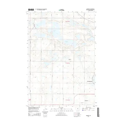
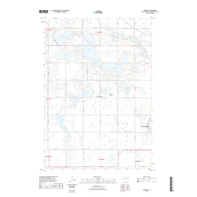
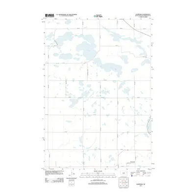 2012 Kampeska2012 Print · USGSCovers Henry Township, including Watertown, Kampeska, and other nearby areas
 - 2015 Map of Henry, 2015 Print
 2015 Henry2015 Print · USGSCovers Henry Township, including Henry, Phipps Township, and other nearby areas
 - 2015 Map of Grover, 2015 Print
 2015 Grover2015 Print · USGSCovers Henry Township, including Hazel, Oxford Township, and other nearby areas
 - 2015 Map of Hazel, 2015 Print
 2015 Hazel2015 Print · USGSCovers Henry Township, including Henry, Hazel, and other nearby areas
 - 2015 Map of Kampeska, 2015 Print
 2015 Kampeska2015 Print · USGSCovers Henry Township, including Watertown, Kampeska, and other nearby areas
 - 2017 Map of Henry, 2017 Print
 2017 Henry2017 Print · USGSCovers Henry Township, including Henry, Phipps Township, and other nearby areas
 - 2017 Map of Grover, 2017 Print
 2017 Grover2017 Print · USGSCovers Henry Township, including Hazel, Oxford Township, and other nearby areas
 - 2017 Map of Hazel, 2017 Print
 2017 Hazel2017 Print · USGSCovers Henry Township, including Henry, Hazel, and other nearby areas
 - 2017 Map of Kampeska, 2017 Print
 2017 Kampeska2017 Print · USGSCovers Henry Township, including Watertown, Kampeska, and other nearby areas
 - 2021 Map of Hazel, 2021 Print
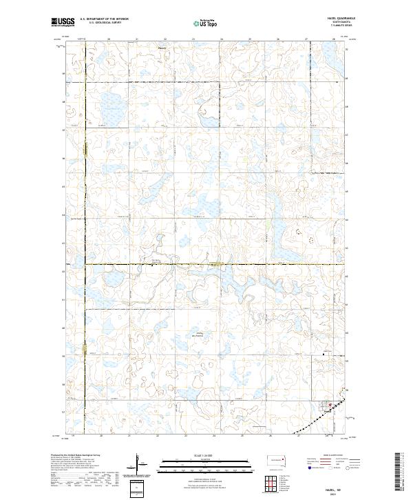 2021 Hazel2021 Print · USGSThe prairie plateau of eastern South Dakota is shown here as it appeared recently, centered on the rural hub of Hazel. Researchers can locate family sites near Hazel Cem, the waters of Lake Henry, and the crossroads of Henry.
 - 2021 Map of Henry, 2021 Print
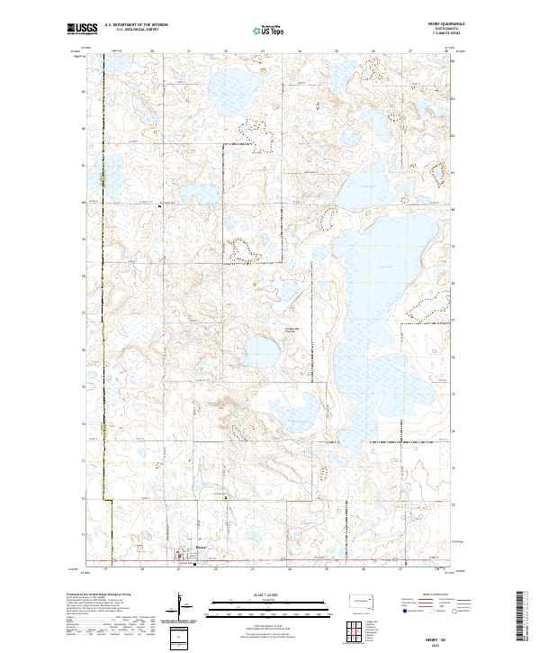 2021 Henry2021 Print · USGSCodington County at the start of the 2020s shows a landscape of glacial prairie lakes and settled family farmsteads. Researchers can trace local roots at Saint Henry Catholic Cem or explore the water boundaries of Long Lake and Stink Lake.
 - 2021 Map of Grover, 2021 Print
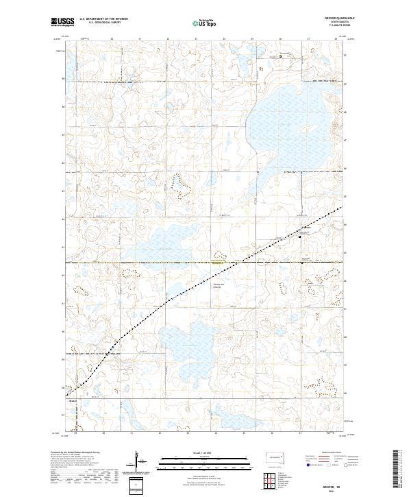 2021 Grover2021 Print · USGSThe high prairie plateau of South Dakota's glacial landscape is documented here in the early twenty-first century. Genealogists and local historians can trace legacy sites like Saint Peter's Catholic Cem, Emmanuel Lutheran Cem, and the village of Grover.
 - 2021 Map of Kampeska, 2021 Print
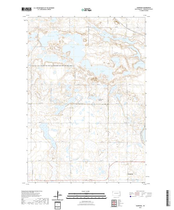 2021 Kampeska2021 Print · USGSCovers Henry Township, including Watertown, Kampeska, and other nearby areas
End of results
Showing maps 1-16 of 16
Top cities near Henry Township
- Watertown historical maps
- Hayti historical maps
- Florence historical maps
- Kampeska historical maps
- Willow Lake historical maps
- Henry historical maps
See more
Top neighborhoods of Henry Township
Frequently asked questions
- What are the different types of historical maps available for Henry Township?
- What is the oldest map of Henry Township?
- Where can I purchase historical maps of Henry Township for my home or office?
- Where can I download high-res historical maps of Henry Township?
- Are there historical topographic maps available for Henry Township?
- Is there historical aerial imagery available for Henry Township?
- Where are historical maps of Henry Township sourced from?