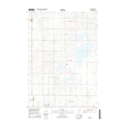
2015 Map of Henry
USGS Topo · Published 2015About this map
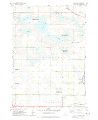
Henry sits at the southern edge of this survey, a compact settlement in the northeastern South Dakota prairie. The surrounding landscape is defined by the Coteau des Prairies, a high plateau characterized by numerous glacial depressions that have formed bodies of water such as Stink Lake, Long Lake, and Blythe Slough. This hydrological pattern, consisting of marshes and sloughs, dictates the local road network, which often skirts these water bodies while following the rigid section lines of the Public Land Survey System.
Find a feature on this map
36 named features on this map. Tap any name to fly to it.
Don’t see what you’re looking for? This feature index may not catch every label — zoom into the map to look around manually.
Map Details
Editions of this 2015 Henry Map
This is the sole edition of this map. No revisions or reprints were ever made.
Other maps of this area
1953 · Milbank
USGS Topo · 1:250,000

1953 · Watertown
USGS Topo · 1:250,000
1958 · Milbank
USGS Topo · 1:250,000

1958 · Watertown
USGS Topo · 1:250,000
1973 · Florence
USGS Topo · 1:24,000
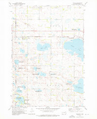
1973 · Wallace
USGS Topo · 1:24,000
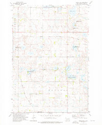
1973 · Heggs Lake
USGS Topo · 1:24,000
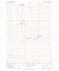
1973 · Garden City
USGS Topo · 1:24,000
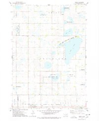
1973 · Henry
USGS Topo · 1:24,000
1973 · Kampeska
USGS Topo · 1:24,000