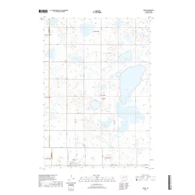
2017 Map of Henry
USGS Topo · Published 2017About this map
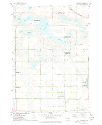
The town of Henry sits at the southern edge of this West River landscape, serving as a focal point for the surrounding agricultural community. Nestled upon the Coteau des Prairies, a high plateau known for its distinct glacial topography, the area is defined by a dense network of prairie potholes and larger water bodies including Long Lake, Stink Lake, and the marshy Blythe Slough. Local history is anchored by several sites of significance for genealogists, including Graceland Cem to the north and both Lorinda Cem and Saint Henry Catholic Cem closer to the town center. The rectangular grid of section-line roads, such as 173rd St and 212 Ushy, provides access across the shifting elevation of the prairie, while the Po in Henry remains a central landmark for the rural population.
Find a feature on this map
35 named features on this map. Tap any name to fly to it.
Don’t see what you’re looking for? This feature index may not catch every label — zoom into the map to look around manually.
Map Details
Editions of this 2017 Henry Map
This is the sole edition of this map. No revisions or reprints were ever made.
Other maps of this area
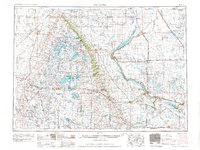
1953 · Milbank
USGS Topo · 1:250,000

1953 · Watertown
USGS Topo · 1:250,000
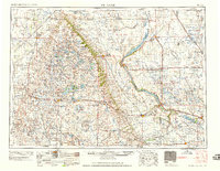
1958 · Milbank
USGS Topo · 1:250,000

1958 · Watertown
USGS Topo · 1:250,000
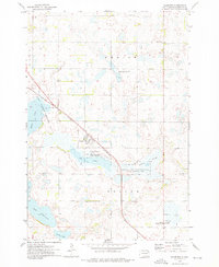
1973 · Florence
USGS Topo · 1:24,000
1973 · Wallace
USGS Topo · 1:24,000
1973 · Heggs Lake
USGS Topo · 1:24,000
1973 · Garden City
USGS Topo · 1:24,000
1973 · Henry
USGS Topo · 1:24,000
1973 · Kampeska
USGS Topo · 1:24,000