2000s (21st Century) Maps of Douglas County, South Dakota
Explore 60 historic maps of Douglas County from the 2000s (21st Century). These maps offer a rare glimpse into what life looked like during the 2000s — showing old roads, neighborhoods, homes, and landmarks that have changed or disappeared over time.
Whether you're researching your family's past, planning a metal detecting trip, or studying how Douglas County's landscape evolved across the 2000s, these high-resolution maps are a powerful tool for exploring the history of this region.
- Focus on a specific era: All maps on this page are from the 2000s, giving you a focused view of this time period.
- See what’s changed: Compare century-old streets, trails, and buildings to today's modern landscape using overlays and satellite layers.
- Research with precision: Use these maps for genealogy, historical research, land use analysis, or educational projects.
- View, download, or print: Maps are fully viewable online in high resolution, and can be downloaded or printed for your own records.
Start exploring Douglas County's history through authentic maps from the 2000s. This is your window into the past.
Douglas County, SD maps
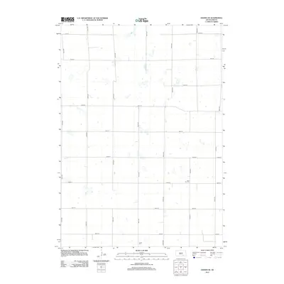
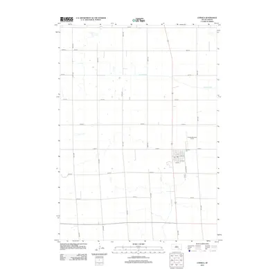
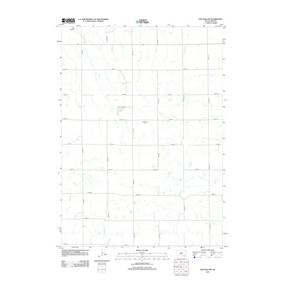
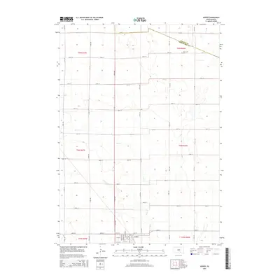
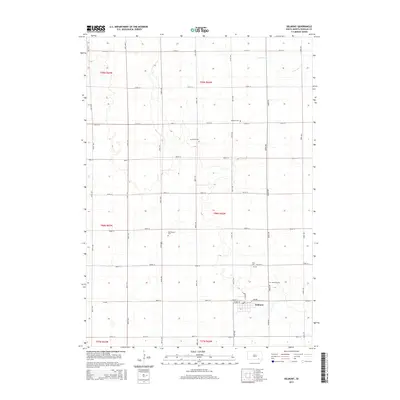
(60)- 2012 Map of Geddes, 2012 Print
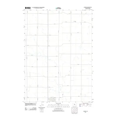 2012 Geddes2012 Print · USGSCovers Douglas County, including Geddes, Goose Lake Township, and other nearby areas
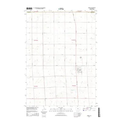
 - 2012 Map of Joubert, 2012 Print
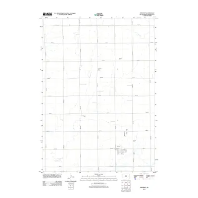
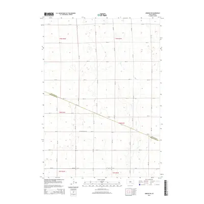
 2012 Joubert2012 Print · USGSCovers Douglas County, including Joubert, Darlington Township, and other nearby areas
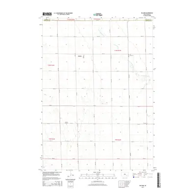
 - 2012 Map of Hillside, 2012 Print
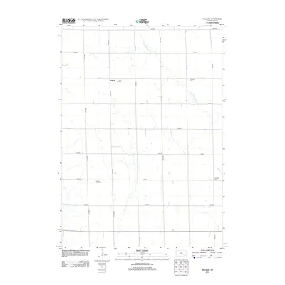 2012 Hillside2012 Print · USGSCovers Douglas County, including Valley Township, Washington Township, and other nearby areas
 - 2012 Map of Delmont, 2012 Print
 2012 Delmont2012 Print · USGSCovers Douglas County, including Delmont, East Choteau Township, and other nearby areas
 - 2012 Map of Geddes SE, 2012 Print
 2012 Geddes SE2012 Print · USGSCovers Douglas County, including Chester Township, Goose Lake Township, and other nearby areas
 - 2012 Map of Armour, 2012 Print
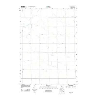
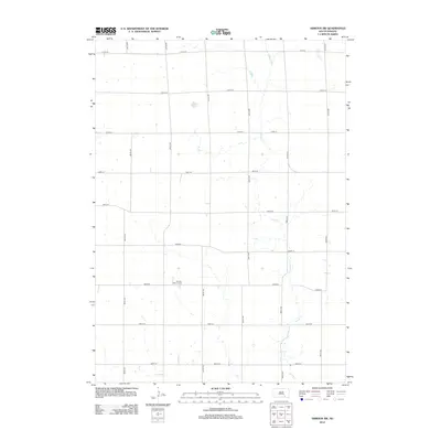
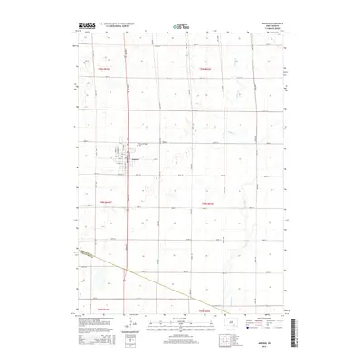
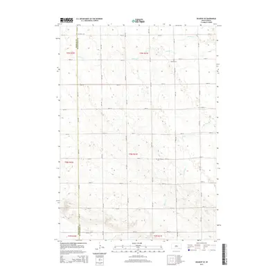
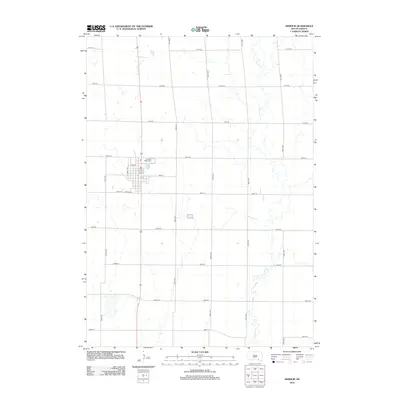 2012 Armour2012 Print · USGSCovers Douglas County, including Armour, Chester Township, and other nearby areas
 - 2012 Map of Delmont SE, 2012 Print
 2012 Delmont SE2012 Print · USGSCovers Douglas County, including East Choteau Township, Lincoln Township, and other nearby areas
 - 2012 Map of Delmont NE, 2012 Print
 2012 Delmont NE2012 Print · USGSCovers Douglas County, including Washington Township, Rome Township, and other nearby areas
 - 2012 Map of Corsica, 2012 Print
 2012 Corsica2012 Print · USGSCovers Douglas County, including Corsica, Holland Township, and other nearby areas
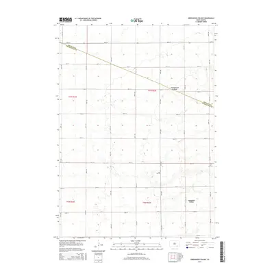
 - 2012 Map of Greenwood Colony, 2012 Print
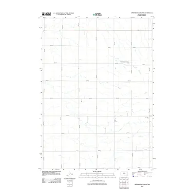 2012 Greenwood Colony2012 Print · USGSCovers Douglas County, including Choteau Creek Township, East Choteau Township, and other nearby areas
 - 2012 Map of Armour SW, 2012 Print
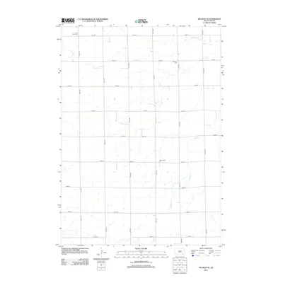
 2012 Armour SW2012 Print · USGSCovers Douglas County, including Chester Township, Grandview Township, and other nearby areas
 - 2012 Map of New Holland, 2012 Print
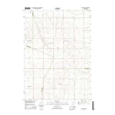
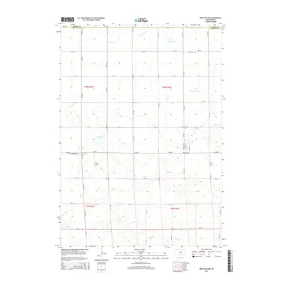
 2012 New Holland2012 Print · USGSCovers Douglas County, including Holland Township, Harrison, and other nearby areas
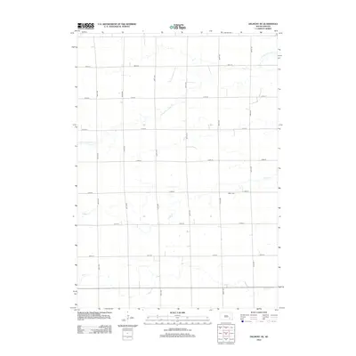
 - 2012 Map of Oak Hollow, 2012 Print
 2012 Oak Hollow2012 Print · USGSCovers Douglas County, including Choteau Creek Township, Monroe Township, and other nearby areas
 - 2012 Map of Wagner NE, 2012 Print
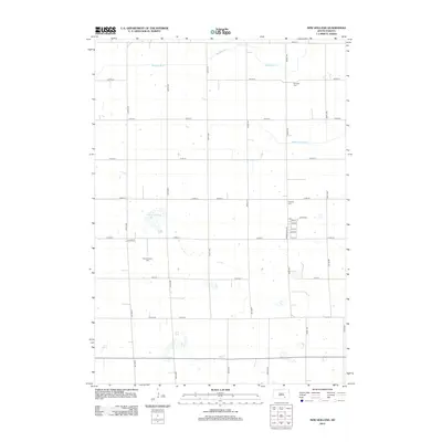
 2012 Wagner NE2012 Print · USGSCovers Douglas County, including Howard Township, Plain Center Township, and other nearby areas
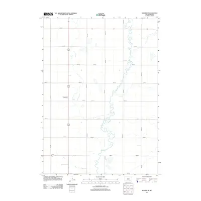
 - 2012 Map of Corsica Lake, 2012 Print
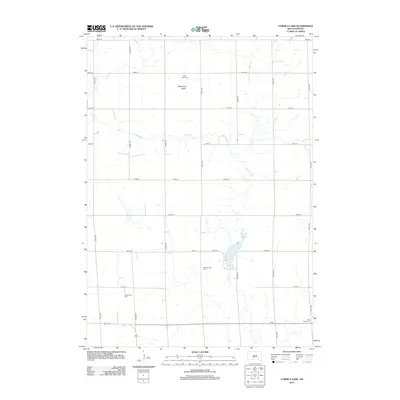 2012 Corsica Lake2012 Print · USGSCovers Douglas County, including Grandview Township, Valley Township, and other nearby areas
 - 2015 Map of Greenwood Colony, 2015 Print
 2015 Greenwood Colony2015 Print · USGSCovers Douglas County, including Choteau Creek Township, East Choteau Township, and other nearby areas
 - 2015 Map of Oak Hollow, 2015 Print
 2015 Oak Hollow2015 Print · USGSCovers Douglas County, including Choteau Creek Township, Monroe Township, and other nearby areas
 - 2015 Map of Geddes, 2015 Print
 2015 Geddes2015 Print · USGSCovers Douglas County, including Geddes, Goose Lake Township, and other nearby areas
 - 2015 Map of Corsica, 2015 Print
 2015 Corsica2015 Print · USGSCovers Douglas County, including Corsica, Holland Township, and other nearby areas
 - 2015 Map of Hillside, 2015 Print
 2015 Hillside2015 Print · USGSCovers Douglas County, including Valley Township, Washington Township, and other nearby areas
 - 2015 Map of Delmont, 2015 Print
 2015 Delmont2015 Print · USGSCovers Douglas County, including Delmont, East Choteau Township, and other nearby areas
 - 2015 Map of Armour SW, 2015 Print
 2015 Armour SW2015 Print · USGSCovers Douglas County, including Chester Township, Grandview Township, and other nearby areas
 - 2015 Map of Armour, 2015 Print
 2015 Armour2015 Print · USGSCovers Douglas County, including Armour, Chester Township, and other nearby areas
 - 2015 Map of New Holland, 2015 Print
 2015 New Holland2015 Print · USGSCovers Douglas County, including Holland Township, Harrison, and other nearby areas
 - 2015 Map of Delmont SE, 2015 Print
 2015 Delmont SE2015 Print · USGSCovers Douglas County, including East Choteau Township, Lincoln Township, and other nearby areas
Showing maps 1-25 of 60
Top cities of Douglas County
Frequently asked questions
- What are the different types of historical maps available for Douglas County?
- What is the oldest map of Douglas County?
- Where can I purchase historical maps of Douglas County for my home or office?
- Where can I download high-res historical maps of Douglas County?
- Are there historical topographic maps available for Douglas County?
- Is there historical aerial imagery available for Douglas County?
- Where are historical maps of Douglas County sourced from?