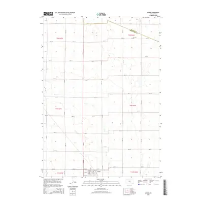
2015 Map of Geddes
USGS Topo · Published 2015About this map
The town of Geddes serves as the focal point of this South Dakota landscape, its grid organized around Main St and family-named thoroughfares like Minnesota Ave and Iowa Ave. Located near the border of Douglas Co and Charles Mix Co, the area is defined by the headwaters of Pease Cr and the small catchment of Stoten Lake. Outside the primary settlement, the terrain is partitioned by a strict section-line road network, including 277th St and 374th Ave, reflecting the enduring structure of the Public Land Survey System. A rural settlement at Morningside and a nearby Cem provide important geographic markers for local history and genealogy, showing the distribution of small communities across the plains in the early 21st century.
Find a feature on this map
36 named features on this map. Tap any name to fly to it.
Don’t see what you’re looking for? This feature index may not catch every label — zoom into the map to look around manually.
Map Details
Editions of this 2015 Geddes Map
This is the sole edition of this map. No revisions or reprints were ever made.
Other maps of this area

1955 · Mitchell
USGS Topo · 1:250,000

1959 · Mitchell
USGS Topo · 1:250,000

1964 · Campbell Creek
USGS Topo · 1:24,000

1964 · Lake Andes NW
USGS Topo · 1:24,000

1964 · Lake Andes
USGS Topo · 1:24,000

1977 · Lake Andes NW
USGS Topo · 1:24,000
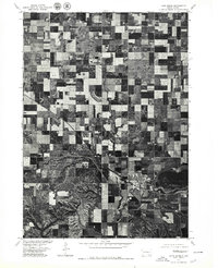
1977 · Lake Andes
USGS Topo · 1:24,000
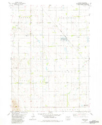
1979 · Bovee
USGS Topo · 1:24,000

1979 · Geddes SE
USGS Topo · 1:24,000
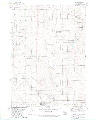
1979 · Geddes
USGS Topo · 1:24,000