Old Maps of Provo Township, South Dakota for Hiking & Exploration
Hike through history with 14 historic maps of Provo Township. Explore old trails, ghost towns, and forgotten backroads — perfect for outdoor adventurers and local explorers.
- Rediscover forgotten places: Map out old mining camps, roads, and footpaths that no longer exist on modern maps.
- Layer with modern tools: Combine with LiDAR or satellite views to plan hikes through historical terrain.
- Made for exploration: Popular among hikers, overlanders, and local history lovers.
Use these maps to find adventure and explore the hidden past of Provo Township.
Provo Township, SD maps
(14)- 1902 Map of Edgemont
 1902 Edgemont1902 Print · USGSThe Black Hills frontier meets the Nebraska plains at the turn of the century, centered on the rail hub of Edgemont. Trace early settlements and rail stops like Minnekahta, Ardmore, and the Quarry as they appeared in this early 1902 survey.4 unique versions available
 - 1955 Map of Hot Springs, 1958 Print
 1955 Hot Springs1958 Print · USGSThe Black Hills and South Dakota badlands are captured here in the mid-fifties, during a peak of military and industrial activity. Researchers can locate the Black Hills Ordnance Depot, early Uranium Mines, and historic rail stops like Pringle or Oglala.5 unique versions available
 - 1982 Map of Provo
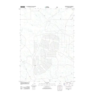
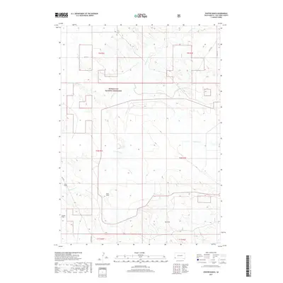
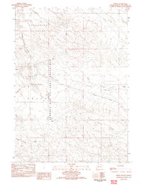 1982 Provo1982 Print · USGSFall River County ranching and military logistics intersect in the early eighties near the Buffalo Gap National Grassland. Researchers can trace the railroad economy through Igloo and locate family landmarks like Trotter Ranch and Henderson Ranch.
 - 1982 Map of Phister Ranch
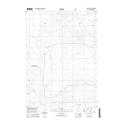
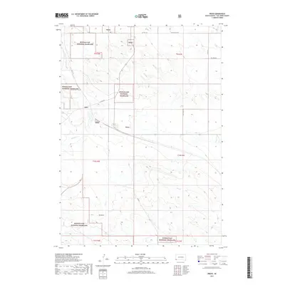
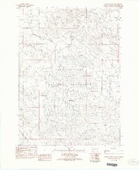 1982 Phister Ranch1982 Print · USGSFall River County, South Dakota, is captured here in the early 1980s as a landscape of wide-open prairie and military history. Genealogists and historians can locate Phister Ranch and trace the site of an Ordnance Plant (Abandoned) near Alum Creek.
 - 1985 Map of Hot Springs, 1986 Print
 1985 Hot Springs1986 Print · USGSThe Black Hills meet the southern grasslands in the mid-eighties as this region balances military history with ranching life. Genealogists and historians can trace the foundations of Igloo, locate the National Cem at Hot Springs, or follow the rail lines through Edgemont.2 unique versions available
 - 1993 Map of Hot Springs
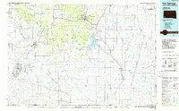
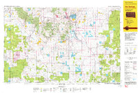 1993 Hot Springs1993 Print · USGSThe southern Black Hills and Nebraska borderlands are captured here in the late twentieth century, showing a landscape of national forests and grasslands. You can trace the Black Hills Ordnance Depot near Igloo and follow the Burlington Northern rail lines through Edgemont.
 - 2012 Map of Phister Ranch, 2012 Print
 2012 Phister Ranch2012 Print · USGSCovers Provo Township, including Fall River County, United States, and other nearby areas
 - 2012 Map of Provo, 2012 Print
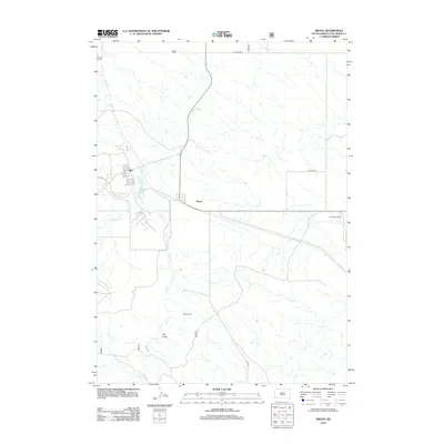 2012 Provo2012 Print · USGSCovers Provo Township, including Provo, Igloo, and other nearby areas
 - 2015 Map of Phister Ranch, 2015 Print
 2015 Phister Ranch2015 Print · USGSCovers Provo Township, including Fall River County, United States, and other nearby areas
 - 2015 Map of Provo, 2015 Print
 2015 Provo2015 Print · USGSCovers Provo Township, including Provo, Igloo, and other nearby areas
 - 2017 Map of Phister Ranch, 2017 Print
 2017 Phister Ranch2017 Print · USGSCovers Provo Township, including Fall River County, United States, and other nearby areas
 - 2017 Map of Provo, 2017 Print
 2017 Provo2017 Print · USGSCovers Provo Township, including Provo, Igloo, and other nearby areas
 - 2021 Map of Provo, 2021 Print
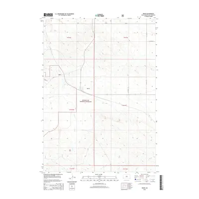
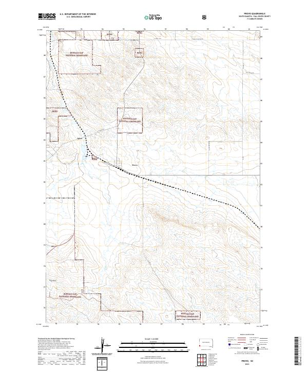 2021 Provo2021 Print · USGSThe high plains of Fall River County come into focus during this 2021 survey, highlighting the legacy of the Black Hills Ordnance Depot. Genealogists and historians can trace the grid of Igloo, the settlement at Provo, and landmarks like Hay Draw and Coal Cr.
 - 2021 Map of Phister Ranch, 2021 Print
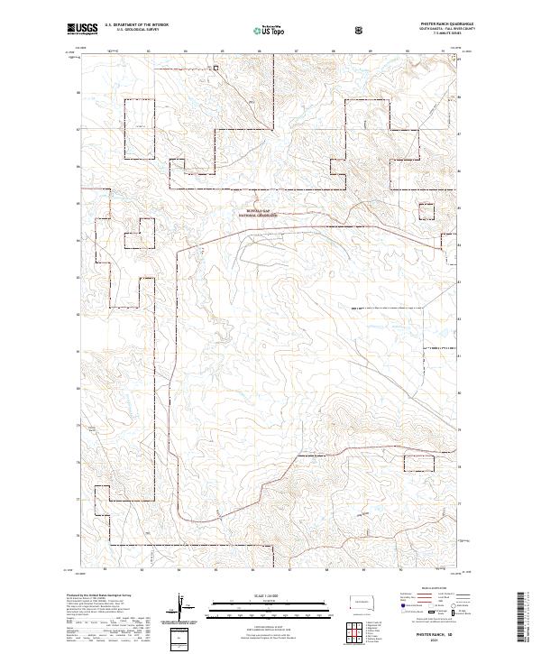 2021 Phister Ranch2021 Print · USGSFall River County, South Dakota, is captured here in the modern era, showing a vast expanse of ranchland and prairie. Researchers can trace land boundaries across Buffalo Gap National Grassland or locate the historic Phister Ranch and Coffee Flats.
End of results
Showing maps 1-14 of 14
Top cities near Provo Township
Top neighborhoods of Provo Township
Frequently asked questions
- What are the different types of historical maps available for Provo Township?
- What is the oldest map of Provo Township?
- Where can I purchase historical maps of Provo Township for my home or office?
- Where can I download high-res historical maps of Provo Township?
- Are there historical topographic maps available for Provo Township?
- Is there historical aerial imagery available for Provo Township?
- Where are historical maps of Provo Township sourced from?