Old Maps of Milbank, South Dakota for Hiking & Exploration
Hike through history with 13 historic maps of Milbank. Explore old trails, ghost towns, and forgotten backroads — perfect for outdoor adventurers and local explorers.
- Rediscover forgotten places: Map out old mining camps, roads, and footpaths that no longer exist on modern maps.
- Layer with modern tools: Combine with LiDAR or satellite views to plan hikes through historical terrain.
- Made for exploration: Popular among hikers, overlanders, and local history lovers.
Use these maps to find adventure and explore the hidden past of Milbank.
Milbank, SD maps
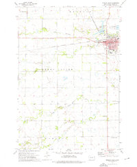
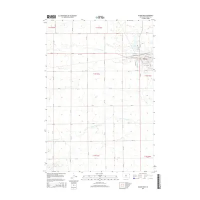
(13)- 1953 Map of Milbank, 1958 Print
 1953 Milbank1958 Print · USGSThe tri-state border region of South Dakota, North Dakota, and Minnesota is shown here during the early fifties, a landscape defined by glacial lakes and the Sisseton Indian Reservation. Researchers can trace the legacy of the western railroads, locating old stops along the Great Northern and settlements like Milbank, Webster, and Sisseton.3 unique versions available
 - 1958 Map of Milbank
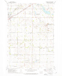
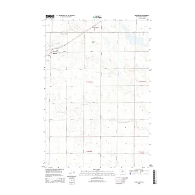
 1958 Milbank1958 Print · USGSThe northern Great Plains in the late fifties show a landscape of glacial lakes and reservation lands shaped by the Great Northern railroad. Genealogists and local historians can trace the grid of settlements from Britton to Milbank and locate landmarks like Enemy Swim Lake and the Sisseton Indian Reservation.
 - 1973 Map of Milbank West, 1976 Print
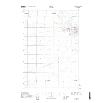
 1973 Milbank West1976 Print · USGSMilbank and the surrounding Grant County townships are captured here in the early 1970s, as the railroad and river systems defined the local economy. Researchers can trace the layout of Milbank and locate rural landmarks such as Township Cem and St Lawrence Sch.
 - 1973 Map of Milbank East, 1976 Print
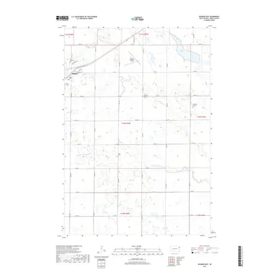
 1973 Milbank East1976 Print · USGSMilbank was a bustling rail and quarrying hub in the early 1970s, situated where the prairie meets the Whetstone River. Genealogists and historians can trace the Old Indian Treaty Boundary or locate family sites near St Lawrence Cem and the Bethlehem Ch.
 - 1985 Map of Milbank
 1985 Milbank1985 Print · USGSThe South Dakota and Minnesota border region comes into focus during the mid-eighties as a hub of prairie lakes and rail transport. Genealogists and researchers can trace the lakeside settlements of Hiawatha Beach, the streets of Milbank, and legacy rail lines like the Burlington Northern.
 - 2012 Map of Milbank West, 2012 Print
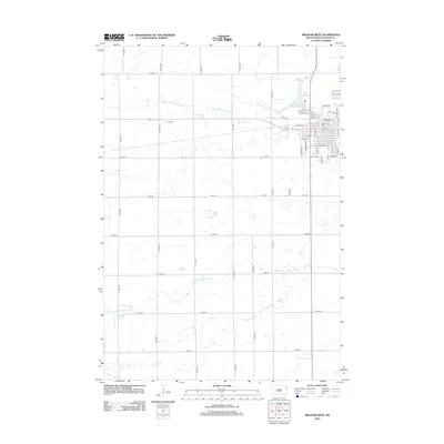 2012 Milbank West2012 Print · USGSCovers Milbank, including Grant County, United States, and other nearby areas
 - 2012 Map of Milbank East, 2012 Print
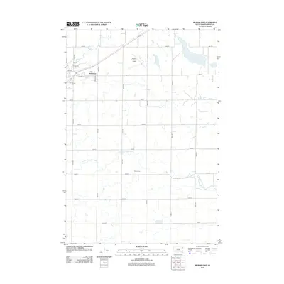 2012 Milbank East2012 Print · USGSCovers Milbank, including Grant County, United States, and other nearby areas
 - 2015 Map of Milbank West, 2015 Print
 2015 Milbank West2015 Print · USGSCovers Milbank, including Grant County, United States, and other nearby areas
 - 2015 Map of Milbank East, 2015 Print
 2015 Milbank East2015 Print · USGSCovers Milbank, including Grant County, United States, and other nearby areas
 - 2017 Map of Milbank West, 2017 Print
 2017 Milbank West2017 Print · USGSCovers Milbank, including Grant County, United States, and other nearby areas
 - 2017 Map of Milbank East, 2017 Print
 2017 Milbank East2017 Print · USGSCovers Milbank, including Grant County, United States, and other nearby areas
 - 2021 Map of Milbank West, 2021 Print
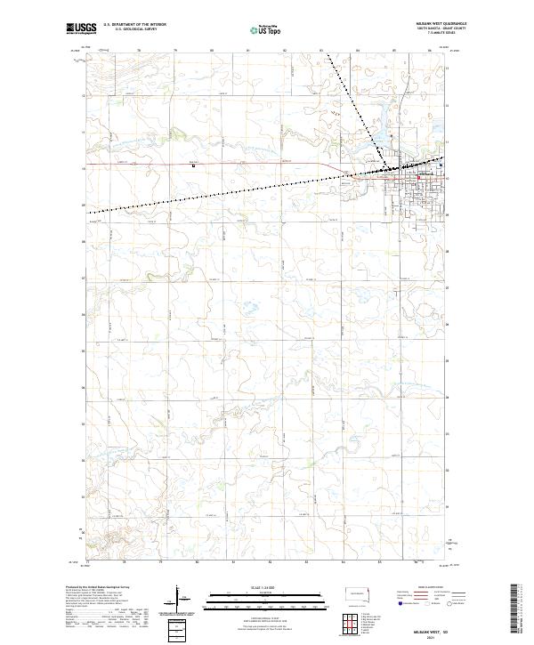 2021 Milbank West2021 Print · USGSThe western edge of Milbank and the surrounding Grant County prairies are shown here as they appeared in 2021. Researchers can locate the Grant County Courthouse, trace the banks of Lake Farley, and find the rural Eub Cem among the fields.
 - 2021 Map of Milbank East, 2021 Print
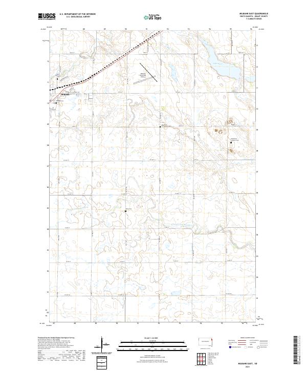 2021 Milbank East2021 Print · USGSMilbank and the agricultural plains of Grant County are shown in detail as they appeared in the early 2020s. Researchers can locate several historic burial sites like Old Alban Evangelical Cem and Alban Cem along the N Fork Yellow Bank River.
End of results
Showing maps 1-13 of 13
Top cities near Milbank
- Ortonville historical maps
- Big Stone City historical maps
- Wilmot historical maps
- Marietta historical maps
- Revillo historical maps
- Foster historical maps
See more
Frequently asked questions
- What are the different types of historical maps available for Milbank?
- What is the oldest map of Milbank?
- Where can I purchase historical maps of Milbank for my home or office?
- Where can I download high-res historical maps of Milbank?
- Are there historical topographic maps available for Milbank?
- Is there historical aerial imagery available for Milbank?
- Where are historical maps of Milbank sourced from?