2000s (21st Century) Maps of Milbank, South Dakota
Explore 8 historic maps of Milbank from the 2000s (21st Century). These maps offer a rare glimpse into what life looked like during the 2000s — showing old roads, neighborhoods, homes, and landmarks that have changed or disappeared over time.
Whether you're researching your family's past, planning a metal detecting trip, or studying how Milbank's landscape evolved across the 2000s, these high-resolution maps are a powerful tool for exploring the history of this region.
- Focus on a specific era: All maps on this page are from the 2000s, giving you a focused view of this time period.
- See what’s changed: Compare century-old streets, trails, and buildings to today's modern landscape using overlays and satellite layers.
- Research with precision: Use these maps for genealogy, historical research, land use analysis, or educational projects.
- View, download, or print: Maps are fully viewable online in high resolution, and can be downloaded or printed for your own records.
Start exploring Milbank's history through authentic maps from the 2000s. This is your window into the past.
Milbank, SD maps
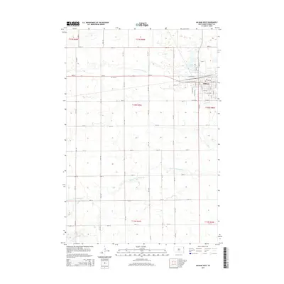
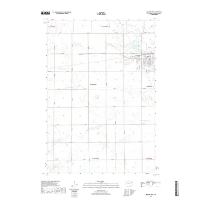
(8)- 2012 Map of Milbank West, 2012 Print
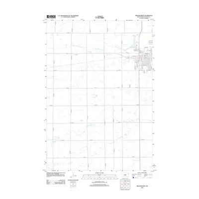 2012 Milbank West2012 Print · USGSCovers Milbank, including Grant County, United States, and other nearby areas
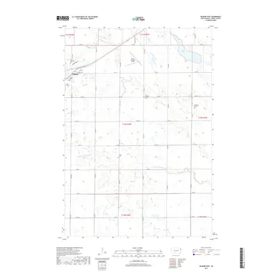
 - 2012 Map of Milbank East, 2012 Print
 2012 Milbank East2012 Print · USGSCovers Milbank, including Grant County, United States, and other nearby areas
 - 2015 Map of Milbank West, 2015 Print
 2015 Milbank West2015 Print · USGSCovers Milbank, including Grant County, United States, and other nearby areas
 - 2015 Map of Milbank East, 2015 Print
 2015 Milbank East2015 Print · USGSCovers Milbank, including Grant County, United States, and other nearby areas
 - 2017 Map of Milbank West, 2017 Print
 2017 Milbank West2017 Print · USGSCovers Milbank, including Grant County, United States, and other nearby areas
 - 2017 Map of Milbank East, 2017 Print
 2017 Milbank East2017 Print · USGSCovers Milbank, including Grant County, United States, and other nearby areas
 - 2021 Map of Milbank West, 2021 Print
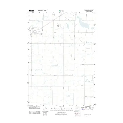
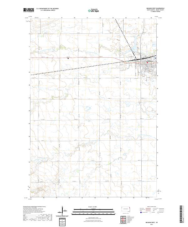 2021 Milbank West2021 Print · USGSThe western edge of Milbank and the surrounding Grant County prairies are shown here as they appeared in 2021. Researchers can locate the Grant County Courthouse, trace the banks of Lake Farley, and find the rural Eub Cem among the fields.
 - 2021 Map of Milbank East, 2021 Print
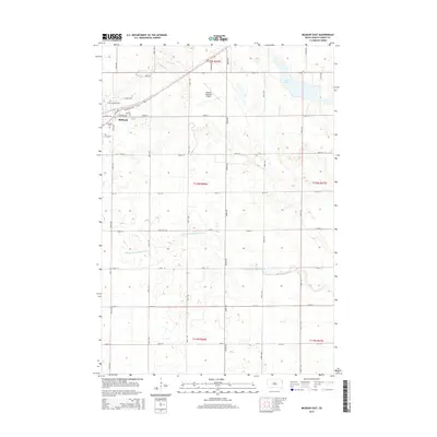
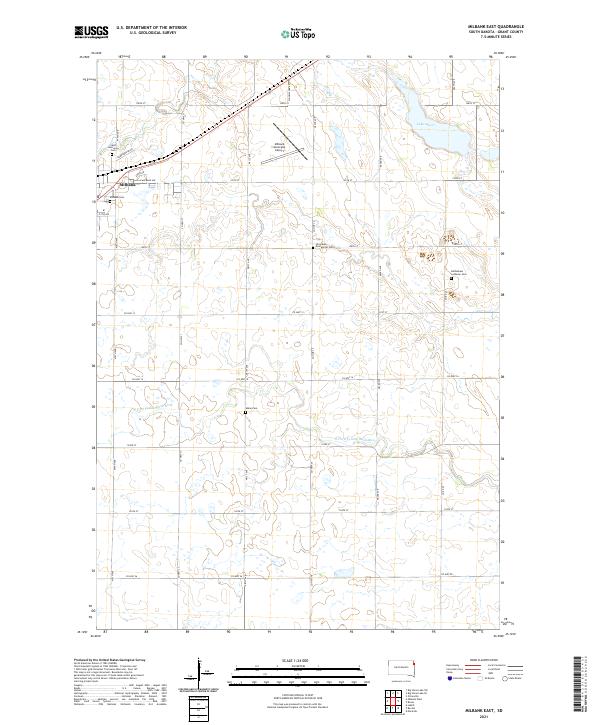 2021 Milbank East2021 Print · USGSMilbank and the agricultural plains of Grant County are shown in detail as they appeared in the early 2020s. Researchers can locate several historic burial sites like Old Alban Evangelical Cem and Alban Cem along the N Fork Yellow Bank River.
End of results
Showing maps 1-8 of 8
Top cities near Milbank
- Ortonville historical maps
- Big Stone City historical maps
- Wilmot historical maps
- Marietta historical maps
- Revillo historical maps
- Foster historical maps
See more
Frequently asked questions
- What are the different types of historical maps available for Milbank?
- What is the oldest map of Milbank?
- Where can I purchase historical maps of Milbank for my home or office?
- Where can I download high-res historical maps of Milbank?
- Are there historical topographic maps available for Milbank?
- Is there historical aerial imagery available for Milbank?
- Where are historical maps of Milbank sourced from?