2020s Maps of Harding County, South Dakota
Explore 81 historic maps of Harding County from the 2020s. These maps offer a rare glimpse into what life looked like during the 2020s — showing old roads, neighborhoods, homes, and landmarks that have changed or disappeared over time.
Whether you're researching your family's past, planning a metal detecting trip, or studying how Harding County's landscape evolved across the 2020s, these high-resolution maps are a powerful tool for exploring the history of this region.
- Focus on a specific era: All maps on this page are from the 2020s, giving you a focused view of this time period.
- See what’s changed: Compare century-old streets, trails, and buildings to today's modern landscape using overlays and satellite layers.
- Research with precision: Use these maps for genealogy, historical research, land use analysis, or educational projects.
- View, download, or print: Maps are fully viewable online in high resolution, and can be downloaded or printed for your own records.
Start exploring Harding County's history through authentic maps from the 2020s. This is your window into the past.
Harding County, SD maps
(81)- 2020 Map of North Slick Creek, 2020 Print
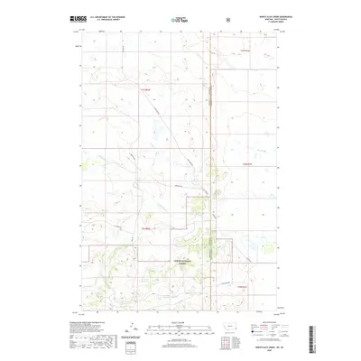 2020 North Slick Creek2020 Print · USGSCovers Harding County, including Carter County, United States, and other nearby areas
 - 2020 Map of Humbolt Hills, 2020 Print
 2020 Humbolt Hills2020 Print · USGSCovers Harding County, including Carter County, United States, and other nearby areas
 - 2020 Map of Capitol Rock, 2020 Print
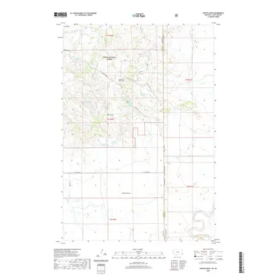 2020 Capitol Rock2020 Print · USGSCovers Harding County, including Carter County, United States, and other nearby areas
 - 2020 Map of Elkhorn Creek East, 2020 Print
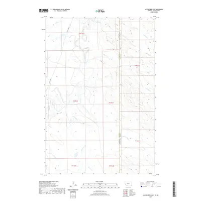
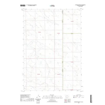 2020 Elkhorn Creek East2020 Print · USGSCovers Harding County, including Butte County, Carter County, and other nearby areas
 - 2020 Map of Capitol, 2020 Print
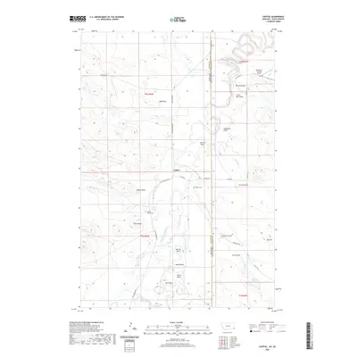 2020 Capitol2020 Print · USGSCovers Harding County, including Capitol, Carter County, and other nearby areas
 - 2020 Map of Cactus Creek East, 2020 Print
 2020 Cactus Creek East2020 Print · USGSCovers Harding County, including Carter County, United States, and other nearby areas
 - 2020 Map of Snider Hill, 2020 Print
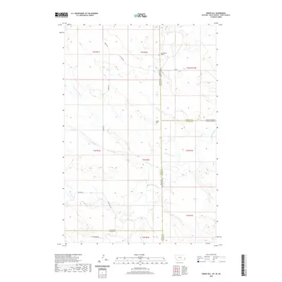 2020 Snider Hill2020 Print · USGSCovers Harding County, including Fallon County, Bowman County, and other nearby areas
 - 2020 Map of Haley, 2020 Print
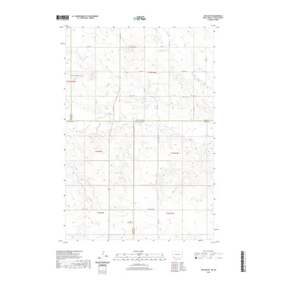
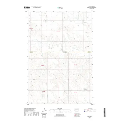 2020 Haley2020 Print · USGSCovers Harding County, including Haley, Bowman County, and other nearby areas
 - 2020 Map of Bowman-Haley Dam, 2020 Print
 2020 Bowman-Haley Dam2020 Print · USGSCovers Harding County, including Bowman County, United States, and other nearby areas
 - 2020 Map of Doaks Butte, 2020 Print
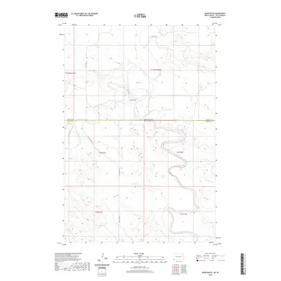 2020 Doaks Butte2020 Print · USGSCovers Harding County, including Bowman County, United States, and other nearby areas
 - 2020 Map of Cow Butte, 2020 Print
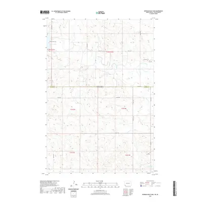
 2020 Cow Butte2020 Print · USGSCovers Harding County, including Perkins County, Bowman County, and other nearby areas
 - 2021 Map of Prairie City NW, 2021 Print
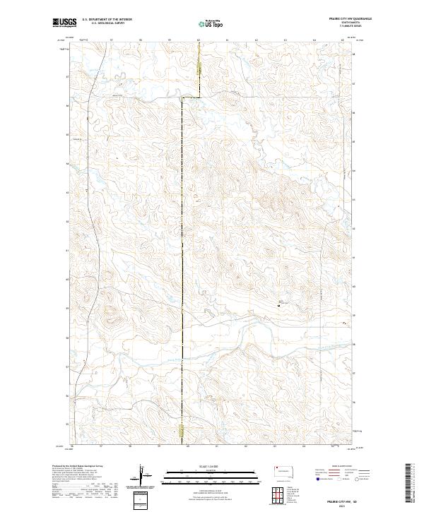 2021 Prairie City NW2021 Print · USGSHigh plains ranching and river drainage dominate this corner of the Dakota territory near the turn of the decade. Researchers can locate the Scion - Glendo Cem and trace the winding course of Big Nasty Cr as it feeds the South Fork Grand River.
 - 2021 Map of Lahti Butte, 2021 Print
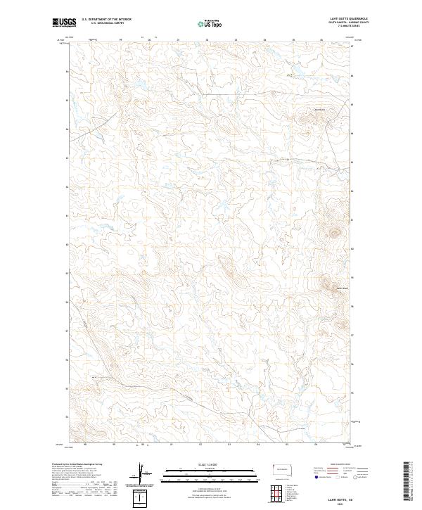 2021 Lahti Butte2021 Print · USGSHarding County at the turn of the decade showcases a landscape shaped by significant drainages and isolated high points. Researchers can trace the path of Rush Creek and Jones Creek or locate landmarks like Lahti Butte and Mud Butte along Clanton Road.
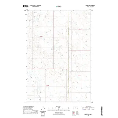
 - 2021 Map of Chimney Butte, 2021 Print
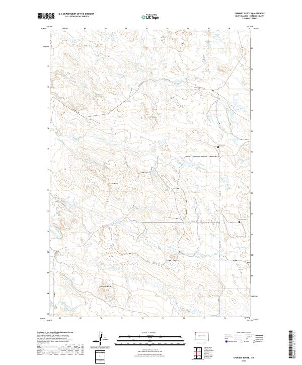 2021 Chimney Butte2021 Print · USGSHarding County, South Dakota, is documented here in the early twenty-first century as a land of expansive ranches and isolated buttes. Genealogists and local historians can locate remote burial sites at Ladner Cem and Bringa Cem while tracing the winding path of the Little Missouri River.
 - 2021 Map of Porter Creek, 2021 Print
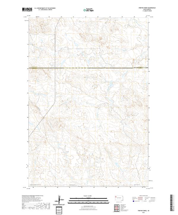 2021 Porter Creek2021 Print · USGSThe High Plains of Butte and Harding counties appear here in the early twenty-first century, showing a remote landscape shaped by the N Fork Moreau River. Local researchers can trace old ranching routes like Norwegian Narrow Gage Rd and numerous drainages including Porter Cr and Flat Cr.
 - 2021 Map of Sheep Mountain, 2021 Print
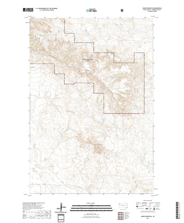 2021 Sheep Mountain2021 Print · USGSHarding County’s high plains and forest land are captured here in the early twenty-first century. Researchers can trace the drainage of Antelope Cr and locate numerous isolated water sources like Moonshine Spring and Rimrock Spring near the heights of Slim Buttes.
 - 2021 Map of Gustave, 2021 Print
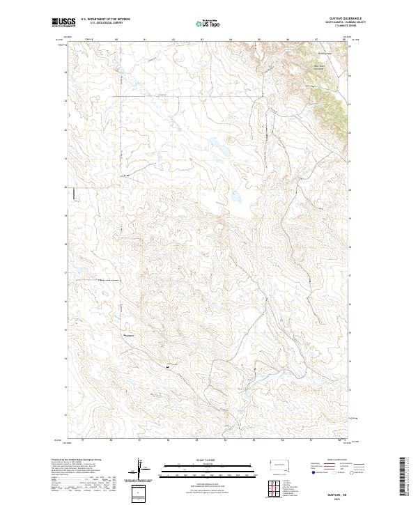 2021 Gustave2021 Print · USGSHarding County’s high plains and distinct buttes are captured here in the modern era. Genealogists and local historians can locate the Gustave Cem and trace the drainage of the S Fork Moreau River near the base of Harding Peak.
 - 2021 Map of Ludlow SE, 2021 Print
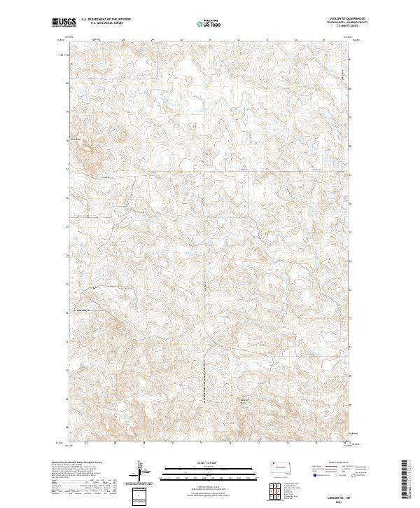 2021 Ludlow SE2021 Print · USGSHarding County ranching country is mapped here in the early twenty-first century, showing a remote landscape shaped by prairie draws. Researchers can trace land boundaries near Ashcroft Butte and follow the paths of Big Nasty Creek and Horse Creek.
 - 2021 Map of Lone Tree Draw West, 2021 Print
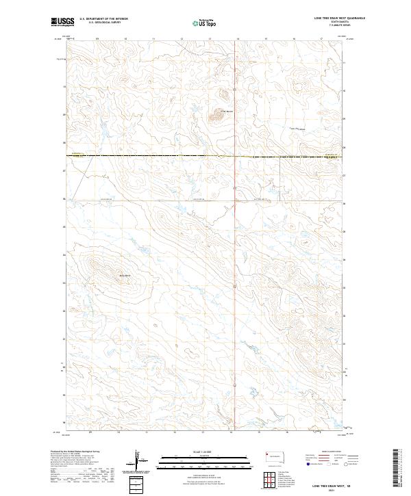 2021 Lone Tree Draw West2021 Print · USGSThe open prairie of the South Dakota borderlands comes into focus in this recent survey. Researchers can trace the path of the S Fork Moreau River and locate distinctive landmarks like Crow Buttes and Macy Butte among the draws.
 - 2021 Map of Sheep Pen Draw SE, 2021 Print
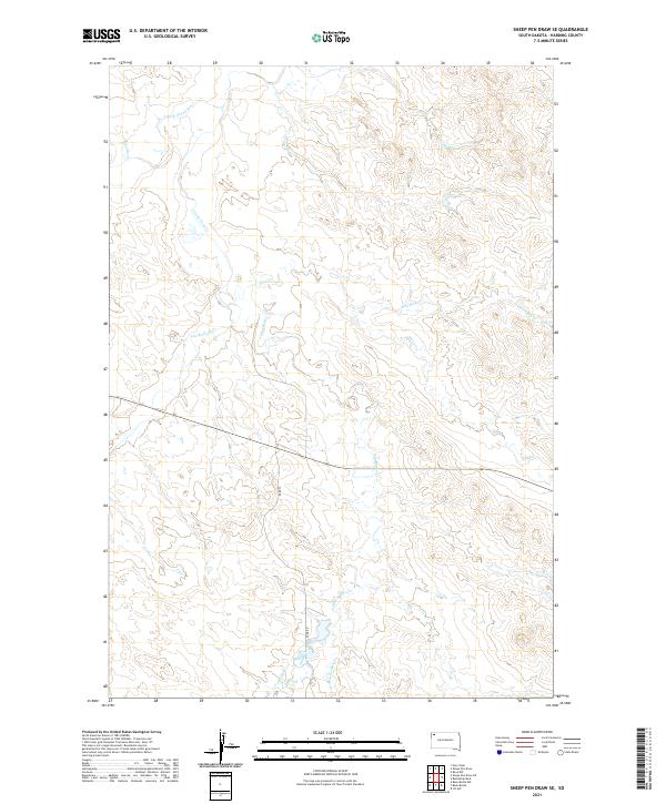 2021 Sheep Pen Draw SE2021 Print · USGSHarding County at the start of the 2020s remains a landscape of sprawling prairie and complex stream networks. Map collectors and researchers can trace the winding paths of the S Fork Grand River and search for landmarks along Slim Buttes Cr or Meathook Cr.
 - 2021 Map of Dogie Butte, 2021 Print
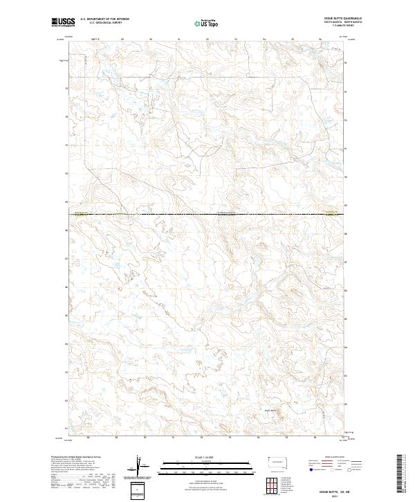 2021 Dogie Butte2021 Print · USGSThe border between the Dakotas comes alive in the early twenty-first century as a landscape of isolated ranch roads and high-plains watercourses. Researchers can trace the rugged topography around Dogie Butte and follow rural routes like Miller Pl and Oil Well Rd.
 - 2021 Map of Redig, 2021 Print
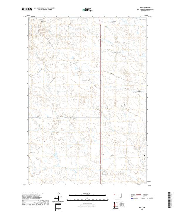 2021 Redig2021 Print · USGSHarding County ranching country is captured here in the early twenty-first century, centered on the isolated settlement of Redig. Genealogists and local historians can trace the rural road network and find the Redig Cem near the banks of Sand Creek.
 - 2021 Map of Buffalo, 2021 Print
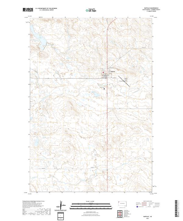 2021 Buffalo2021 Print · USGSThe Harding County seat is captured here in the early 2020s, showing the town of Buffalo amidst the high plains. Genealogists can locate the Buffalo Cem and trace rural lifelines like Old Hwy 85 and the S Fork Grand River.
 - 2021 Map of Reva NE, 2021 Print
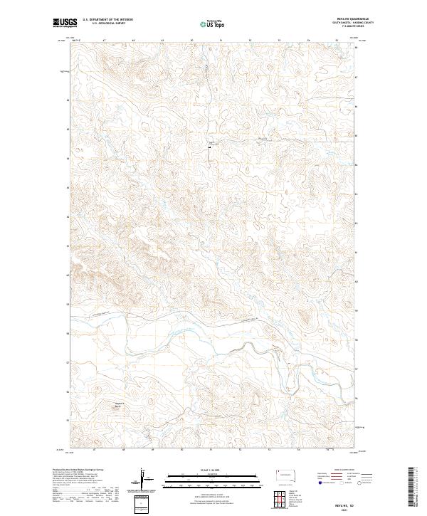 2021 Reva NE2021 Print · USGSHarding County ranchlands and the winding South Fork Grand River are captured here in the early twenty-first century. Genealogists and researchers can locate Saint Isidore Cem and trace seasonal waterways like Skull Cr and Brush Cr.
 - 2021 Map of Zeona, 2021 Print
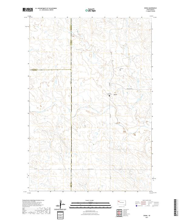 2021 Zeona2021 Print · USGSPerkins County in the early 2020s shows a landscape of cattle ranching and scattered settlements near the confluence of the Moreau River. You can locate the Zeona community and trace local family history at Immanuel Lutheran Cem or Ruby Cem.
Showing maps 1-25 of 81
Top cities of Harding County
Frequently asked questions
- What are the different types of historical maps available for Harding County?
- What is the oldest map of Harding County?
- Where can I purchase historical maps of Harding County for my home or office?
- Where can I download high-res historical maps of Harding County?
- Are there historical topographic maps available for Harding County?
- Is there historical aerial imagery available for Harding County?
- Where are historical maps of Harding County sourced from?