1970s Maps of Lyman County, South Dakota
Explore 24 historic maps of Lyman County from the 1970s. These maps offer a rare glimpse into what life looked like during the 1970s — showing old roads, neighborhoods, homes, and landmarks that have changed or disappeared over time.
Whether you're researching your family's past, planning a metal detecting trip, or studying how Lyman County's landscape evolved across the 1970s, these high-resolution maps are a powerful tool for exploring the history of this region.
- Focus on a specific era: All maps on this page are from the 1970s, giving you a focused view of this time period.
- See what’s changed: Compare century-old streets, trails, and buildings to today's modern landscape using overlays and satellite layers.
- Research with precision: Use these maps for genealogy, historical research, land use analysis, or educational projects.
- View, download, or print: Maps are fully viewable online in high resolution, and can be downloaded or printed for your own records.
Start exploring Lyman County's history through authentic maps from the 1970s. This is your window into the past.
Lyman County, SD maps
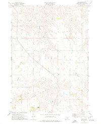
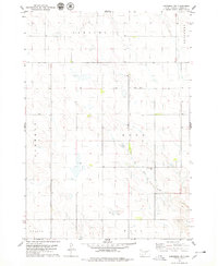
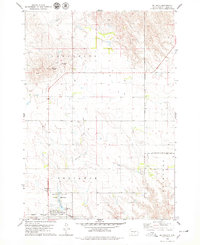
(24)- 1971 Map of Hamill SE, 1974 Print
 1971 Hamill SE1974 Print · USGSThe South Dakota prairie at the start of the 1970s is captured here, straddling the line between Tripp and Lyman counties. Genealogists and historians can trace the Rosebud Indian Reservation Boundary and locate the Fairview Sch among the drainages of Bull Creek.
 - 1971 Map of Rattlesnake Butte East, 1974 Print
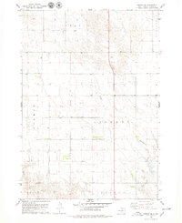
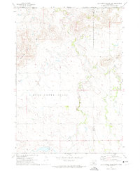 1971 Rattlesnake Butte East1974 Print · USGSTripp and Lyman Counties at the edge of the Rosebud Reservation appear in the early 1970s as a landscape of remote schoolhouses and creek-side cemeteries. Researchers can locate the Mini Ska Ch, Bijou Sch, and Our Savior Cem among the elevations of Rattlesnake Butte.
 - 1971 Map of Dixon, 1974 Print
 1971 Dixon1974 Print · USGSGregory County's prairie landscape is shown in the early seventies, centered on the rural community of Dixon. Genealogists and local historians can locate the Dixon Cem, the site of the Hawk Sch, and landmarks like Buffalo Buttes.
 - 1971 Map of Dixon NE, 1974 Print
 1971 Dixon NE1974 Print · USGSThe Missouri River breaks of Gregory and Lyman counties are captured here in the early seventies, detailing the newly formed Lake Francis Case. Researchers can trace the Rosebud Indian Reservation Boundary and locate landmarks like Berry Spring and Landing Creek.
 - 1972 Map of Pierre 3 SE, 1975 Print
 1972 Pierre 3 SE1975 Print · USGSCentral South Dakota terrain at the start of the 1970s reveals a landscape etched with historical surveying lines and natural landmarks. Genealogists and historians can trace the Old Indian Treaty Boundary and the topography surrounding Stony Butte and Richland Valley.2 unique versions available
 - 1972 Map of Vivian, 1975 Print
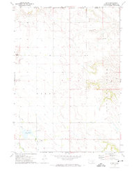
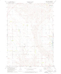
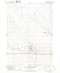
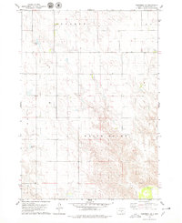
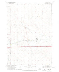 1972 Vivian1975 Print · USGSVivian was a vital crossroads in the early 1970s, where the Missouri Plateau's rail and highway networks met. Researchers can trace the layout of the Chicago Milwaukee St Paul and Pacific line and find local landmarks like the Smith Brothers Landing Strip and Vivian Cem.
 - 1972 Map of Pierre 3 NE, 1975 Print
 1972 Pierre 3 NE1975 Print · USGSCentral South Dakota ranching country is captured here in the early seventies, showing the sparse but organized landscape of the Missouri River plateau. Genealogists and historians can trace the bounds of Richland and Rowe or locate the remote Landing Strip near Cedar Creek.2 unique versions available
 - 1972 Map of Vivian SE, 1975 Print
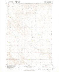
 1972 Vivian SE1975 Print · USGSThe South Dakota prairie at the edge of the Missouri Plateau is captured here in the early seventies, spanning the border of Lyman County and Jones County. Researchers can trace old section lines and property boundaries near the Sioux Sch and the banks of Williams Creek.
 - 1974 Map of Bond Bottom, 1977 Print
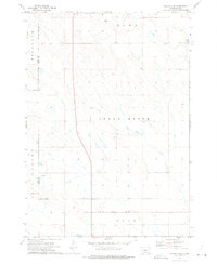
 1974 Bond Bottom1977 Print · USGSThe Missouri River valley in Brule and Lyman counties was undergoing significant change in the mid-seventies following the creation of Lake Francis Case. You can trace the submerged contours of the old valley floor near Bond Bottom and locate early townships like Iona and America.
 - 1974 Map of Short Creek, 1977 Print
 1974 Short Creek1977 Print · USGSLyman County's river bluffs and prairie uplands are captured in the 1970s, showing the early years of the Missouri River's reservoir system. Genealogists and historians can locate rural landmarks like St Albans Ch, Lindley Sch, and the site of Fort Lookout.
 - 1974 Map of Red Lake West, 1977 Print
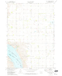 1974 Red Lake West1977 Print · USGSBrule and Lyman Counties are captured in the mid-seventies, showing the Missouri River's transformation into the massive Lake Francis Case. Researchers can locate family landmarks like Grandview Cem and trace the course of Reimer Creek toward the reservoir.
 - 1974 Map of Chamberlain, 1977 Print
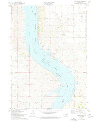
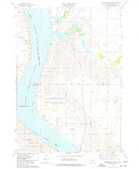
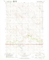
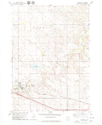
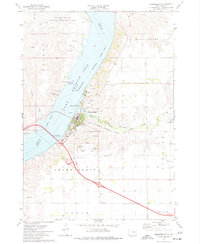 1974 Chamberlain1977 Print · USGSChamberlain occupies a strategic riverfront position in the 1970s, where rail and road infrastructure meets the Missouri. Researchers can locate long-standing landmarks like St Josephs Indian School, trace the Milwaukee Road railroad, and find the old Drive-in Theater.
 - 1974 Map of Bedashosha Lake, 1977 Print
 1974 Bedashosha Lake1977 Print · USGSThe Missouri River breaks of Buffalo and Brule Counties are captured here in the mid-seventies, showing a landscape shaped by tribal lands and recreation. Trace local history through landmarks like St Johns Ch and the public lands of Brule Bottom State Public Hunting Area.
 - 1974 Map of Iona, 1977 Print
 1974 Iona1977 Print · USGSIona and the surrounding high prairie of Lyman County appear here in the mid-seventies, just as the local highway system was well established. Researchers can locate the Iona Cem, trace the drainage of Nicholas Creek, and find landmarks like Twilight Butte.
 - 1978 Map of Presho, 1979 Print
 1978 Presho1979 Print · USGSPresho in the late seventies serves as a classic Missouri Plateau rail and interstate hub. Genealogists and historians can locate family markers at Medicine Creek Cem or trace the early paths of the MILWAUKEE CHICAGO ST PAUL AND PACIFIC line.
 - 1978 Map of Brakke Dam, 1979 Print
 1978 Brakke Dam1979 Print · USGSThe Lyman County prairie comes to life in the late seventies, showing a landscape of managed water and rail transit. Genealogists and historians can locate the Earling Cem and trace the Milwaukee Road tracks near Medicine Creek.
 - 1978 Map of Lyman, 1979 Print
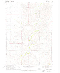
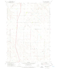
 1978 Lyman1979 Print · USGSLyman and the surrounding South Dakota townships are captured here in the late seventies. Researchers can trace the path of the Chicago Milwaukee St Paul and Pacific railroad and locate old quarries near Medicine Creek.
 - 1978 Map of Kennebec SW, 1979 Print
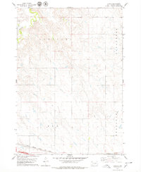
 1978 Kennebec SW1979 Print · USGSLyman County's rural townships are documented in the late 1970s, showcasing the open prairie before modern agricultural shifts. Researchers can trace land divisions across Earling and Rose, or locate the historic Prairie View Cem near Davis Creek.
 - 1978 Map of Presho SE, 1979 Print
 1978 Presho SE1979 Print · USGSLyman County's rural townships are captured in the late seventies, showing a landscape defined by sectional boundaries and small prairie waterways. Researchers can trace land divisions in Liberty and Presho or locate the Smith Landing Strip.
 - 1978 Map of Kennebec SE, 1979 Print
 1978 Kennebec SE1979 Print · USGSLyman County rangeland is captured here in the late seventies, showing the intricate breaks and drainage of the White River. Researchers can trace old township lines and water features like Jackson Lake and the settlement at Wiesner.
 - 1978 Map of Presho SW, 1979 Print
 1978 Presho SW1979 Print · USGSLyman County, South Dakota, is captured in the late seventies as a landscape of wide prairie drainages and established township boundaries. Genealogists and local researchers can locate Hilmoe Cem and trace the winding course of Mission Creek through Moore and Hilmoe.
 - 1978 Map of Reliance, 1979 Print
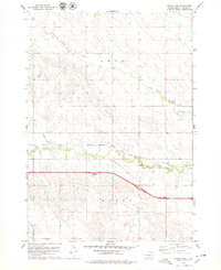
 1978 Reliance1979 Print · USGSLyman County enters the late 1970s as a vital transportation corridor through the South Dakota prairie. Genealogists and local historians can trace the town of Reliance and its nearby landmarks, including St Marys Cem and the Chicago Milwaukee St Paul and Pacific rail line.
 - 1978 Map of Kennebec, 1979 Print
 1978 Kennebec1979 Print · USGSThe town of Kennebec and its surrounding townships are shown here in the late seventies, centered on the Chicago Milwaukee St Paul and Pacific rail line. Researchers can locate family landmarks like St Michaels Cem or private airstrips including Thomas Bros Landing Strip and Dyson Bros Landing Field.
 - 1978 Map of Presho NW, 1979 Print
 1978 Presho NW1979 Print · USGSLyman County's prairie landscape is captured in the late seventies, showing the traditional rail lines alongside modern interstate development. Researchers can trace the winding course of Medicine Creek and the steel path of the Chicago Milwaukee St Paul and Pacific railroad.
End of results
Showing maps 1-24 of 24
Top cities of Lyman County
- Presho historical maps
- Oacoma historical maps
- Kennebec historical maps
- Reliance historical maps
- Iona historical maps
Frequently asked questions
- What are the different types of historical maps available for Lyman County?
- What is the oldest map of Lyman County?
- Where can I purchase historical maps of Lyman County for my home or office?
- Where can I download high-res historical maps of Lyman County?
- Are there historical topographic maps available for Lyman County?
- Is there historical aerial imagery available for Lyman County?
- Where are historical maps of Lyman County sourced from?