Old Maps of McPherson County, South Dakota for Academic Research
Study the evolution of McPherson County with 195 high-resolution historic maps. Whether you're teaching, researching, or modeling changes in land use, these maps provide essential visual documentation of urban, environmental, and geographic change.
- Analyze long-term change: Track patterns in development, transportation, and natural features.
- Ideal for environmental or urban studies: Support academic projects with primary historical map data.
- Use in the classroom or lab: Educators and researchers rely on these maps to bring historical context to life.
These maps are a powerful tool for teaching, research, and visualizing how McPherson County has changed over the decades.
McPherson County, SD maps
(195)- 1894 Map of Ellendale
 1894 Ellendale1894 Print · USGSDakota Territory transitions into new states in the late nineteenth century as the rail-and-river economy takes root. Genealogists can trace early township structures across Wheatland and Osceola, or locate residents near Frederick along the Chicago Milwaukee and St. Paul Railway.
 - 1899 Map of Ellendale
 1899 Ellendale1899 Print · USGSNorth Dakota and South Dakota borderlands come into focus at the close of the nineteenth century as the railroad transforms the prairie. Genealogists and historians can trace the early growth of Ellendale and Leola along with vanished stops like Alpha and Delhi.2 unique versions available
 - 1954 Map of Aberdeen, 1964 Print
 1954 Aberdeen1964 Print · USGSNortheastern South Dakota in the mid-fifties remains a world of rail-dependent prairie towns and sweeping waterfowl refuges. Genealogists can trace family roots through settlements like Eureka and Ipswich or locate rural landmarks near Richmond Lake.2 unique versions available
 - 1956 Map of Aberdeen
 1956 Aberdeen1956 Print · USGSUpper South Dakota during the mid-fifties remains a landscape of rail-connected farming towns and expansive glacial lake basins. Genealogists and historians can trace the paths of the Minneapolis and St Louis railroad through Gettysburg or locate vanished stops near Elm Lake and Richmond Lake.
 - 1968 Map of Long Lake, 1970 Print
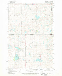
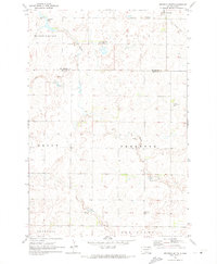
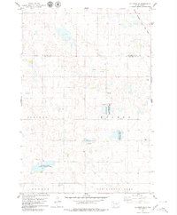
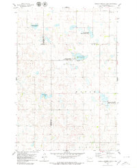
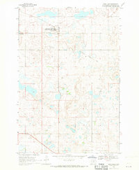 1968 Long Lake1970 Print · USGSMcPherson County, South Dakota, is captured here in the late sixties as a rural landscape of scattered cemeteries and vanished rail lines. Researchers can trace family history at Emmanuel Cem or follow the path of the Old Railroad Grade near Long Lake.
 - 1968 Map of Long Lake SE, 1970 Print
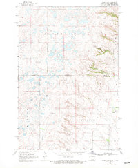
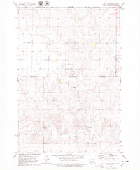
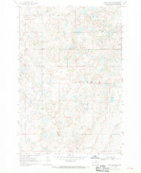 1968 Long Lake SE1970 Print · USGSMcPherson County is captured in the late sixties as a landscape of prairie potholes and quiet township centers. Researchers can trace the Old Railroad Grade or locate family roots at Hoffnungs Gemeinde Cem and the local Townhall.
 - 1968 Map of Long Lake NW, 1970 Print
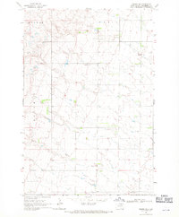
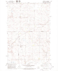
 1968 Long Lake NW1970 Print · USGSThe northern reaches of the Missouri Plateau come into focus in the late sixties as they cross the state line. Genealogists can trace rural family roots at Johannasthal Cem, Jewell Cem, and Emmanuel Cem among the prairie potholes.
 - 1968 Map of Frederick NW, 1970 Print
 1968 Frederick NW1970 Print · USGSThe borderlands of the Dakotas are captured in the late sixties as the prairie landscape centers on the waters of Elm Lake. Researchers can locate rural landmarks like the Aurdal Ch, the Great Northern rail line, and local Townhall sites.
 - 1968 Map of Forbes, 1970 Print
 1968 Forbes1970 Print · USGSThe borderlands of Dickey and McPherson counties are captured here in the late sixties, centered on the village of Forbes. Genealogists and local historians can trace the Great Northern rail line and locate the Forbes Cem near the state line.
 - 1968 Map of Long Lake NE, 1970 Print
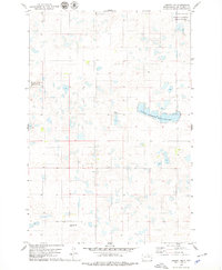
 1968 Long Lake NE1970 Print · USGSThe North Dakota and South Dakota borderlands come into focus in the late sixties, showing a prairie landscape of glacial potholes and section-line roads. Genealogists can locate several family-named landmarks including St Lucas Cem, Ehresman Cem, and Rath Lake.
 - 1968 Map of Forbes SE, 1970 Print
 1968 Forbes SE1970 Print · USGSMcPherson County, South Dakota, is captured in the late sixties as a landscape of structured townships and prairie drainage. Genealogists can locate family landmarks like St Hyacinth Cem and the local Townhall near the banks of Willow Creek.
 - 1968 Map of Forbes NW, 1970 Print
 1968 Forbes NW1970 Print · USGSThe high plains of the Dakotas borderland are seen here in the late sixties, where small prairie lakes and township lines define the landscape. Genealogists can locate family landmarks such as St Peters Cem, the Spring Creek Colony, and Townhall.
 - 1968 Map of Forbes SW, 1970 Print
 1968 Forbes SW1970 Print · USGSThe northern reaches of McPherson County are documented here in the late sixties, showing a landscape of prairie potholes and intermittent water. Genealogists and local historians can find family names tied to the terrain, including Wacker and Hoffman, alongside a solitary Gravel Pit.
 - 1968 Map of Frederick SW, 1970 Print
 1968 Frederick SW1970 Print · USGSBrown County’s rural townships are documented here in the late sixties as the agricultural landscape remained tied to the winding Elm River. Researchers can trace historic property boundaries and find local landmarks like the Townhall and the Spillway at Elm Lake.
 - 1970 Map of Wetonka South, 1973 Print
 1970 Wetonka South1973 Print · USGSEdmunds County at the start of the 1970s reveals a quiet agricultural landscape organized by established township lines. Genealogists and local historians can trace the community history of Wetonka while locating the Pembrook Cem and an Old Railroad Grade.
 - 1970 Map of Leola, 1973 Print
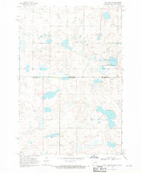
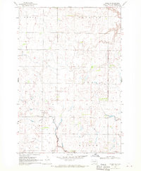
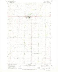 1970 Leola1973 Print · USGSMcPherson County agricultural life and the township structure of the early seventies are captured here in detail. Genealogists and local historians can trace the Old Railroad Grade and locate Our Lady of Perpetual Help Cem near the town of Leola.
 - 1970 Map of Richmond SW, 1973 Print
 1970 Richmond SW1973 Print · USGSThe Brown and Edmunds county lines met in this corner of South Dakota during the early 1970s, as the prairie was shifting toward modern farming. You can trace the remnants of the Old Railroad Grade and find water landmarks like Richmond Lake and the Flowing Well.
 - 1970 Map of Wetonka North, 1973 Print
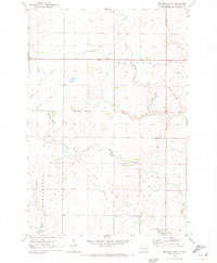 1970 Wetonka North1973 Print · USGSMcPherson County grain country is captured here in the early 1970s, centered on the settlement of Wetonka. Researchers can trace the path of the Old Railroad Grade and locate water features like Foot Creek and Crompton Lake.
 - 1970 Map of Richmond NW, 1973 Print
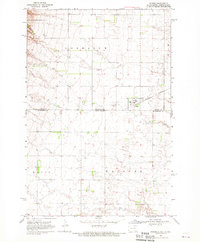
 1970 Richmond NW1973 Print · USGSBrown and McPherson counties come alive in the early 1970s, showcasing a landscape of section lines and prairie drainage. Genealogists and historians can locate the United Church of the Brethren Cem, a local Townhall, and the remnant Old Railroad Grade.
 - 1970 Map of Leola SW, 1973 Print
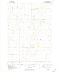 1970 Leola SW1973 Print · USGSThe northern prairie on the Edmunds and McPherson county line is captured here in the early seventies. Genealogists and local historians can locate Plainview Colony No 2 and trace the township boundaries of Belle, Washington, and Howard.
 - 1978 Map of Hillsview SE
 1978 Hillsview SE1978 Print · USGSThe border of Edmunds and McPherson counties in the late seventies is marked by a focus on waterfowl conservation and rail transport. Trace the route of the Chicago Milwaukee St Paul and Pacific and the borders of the Heilman State Public Shooting Area.
 - 1978 Map of Wolff Lake, 1979 Print
 1978 Wolff Lake1979 Print · USGSThe North Dakota and South Dakota borderlands are captured here during the late 1970s, showing a prairie landscape shaped by seasonal wetlands. Researchers can trace rural life through the Lutheran Cemetery, the small settlement of Lowell, and the Spring Creek corridor.
 - 1978 Map of Greenway, 1979 Print
 1978 Greenway1979 Print · USGSThe high plains of the Dakotas appear in the late 1970s as a landscape of isolated farmsteads and quiet rail sidings. Genealogists and historians can trace the paths of the CHICAGO MILWAUKEE ST PAUL AND PACIFIC railroad and the small settlement of Madra.
 - 1978 Map of Hosmer NW, 1979 Print
 1978 Hosmer NW1979 Print · USGSThe Missouri Coteau region of McPherson County is captured here in the late seventies, showing a landscape of scattered wetlands and prairie potholes. Genealogists and local researchers can locate the Congregational Cem and landmarks such as Graves and a Gravel Pit.
 - 1978 Map of Bowdle-Hosmer Lake, 1979 Print
 1978 Bowdle-Hosmer Lake1979 Print · USGSThe prairie wetlands of North Central South Dakota are documented here in the late seventies, showing a landscape of scattered lakes and rural cemeteries. Family historians can locate St Joseph Cem and St Johns Cem among the conservation lands of the National Waterfowl Production Area.
Showing maps 1-25 of 195
Top cities of McPherson County
- Eureka historical maps
- Leola historical maps
- Long Lake historical maps
- Wetonka historical maps
- Hillsview historical maps
Frequently asked questions
- What are the different types of historical maps available for McPherson County?
- What is the oldest map of McPherson County?
- Where can I purchase historical maps of McPherson County for my home or office?
- Where can I download high-res historical maps of McPherson County?
- Are there historical topographic maps available for McPherson County?
- Is there historical aerial imagery available for McPherson County?
- Where are historical maps of McPherson County sourced from?