1970s Maps of McPherson County, South Dakota
Explore 26 historic maps of McPherson County from the 1970s. These maps offer a rare glimpse into what life looked like during the 1970s — showing old roads, neighborhoods, homes, and landmarks that have changed or disappeared over time.
Whether you're researching your family's past, planning a metal detecting trip, or studying how McPherson County's landscape evolved across the 1970s, these high-resolution maps are a powerful tool for exploring the history of this region.
- Focus on a specific era: All maps on this page are from the 1970s, giving you a focused view of this time period.
- See what’s changed: Compare century-old streets, trails, and buildings to today's modern landscape using overlays and satellite layers.
- Research with precision: Use these maps for genealogy, historical research, land use analysis, or educational projects.
- View, download, or print: Maps are fully viewable online in high resolution, and can be downloaded or printed for your own records.
Start exploring McPherson County's history through authentic maps from the 1970s. This is your window into the past.
McPherson County, SD maps
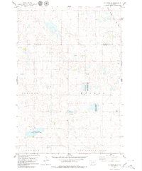
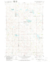
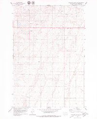
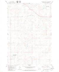
(26)- 1970 Map of Wetonka South, 1973 Print
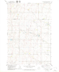
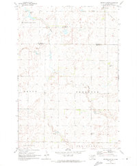 1970 Wetonka South1973 Print · USGSEdmunds County at the start of the 1970s reveals a quiet agricultural landscape organized by established township lines. Genealogists and local historians can trace the community history of Wetonka while locating the Pembrook Cem and an Old Railroad Grade.
 - 1970 Map of Leola, 1973 Print
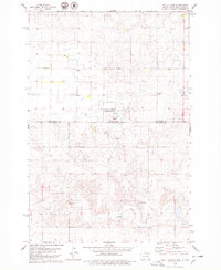
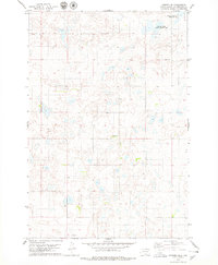
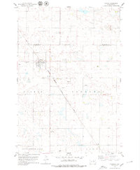
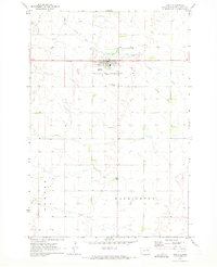 1970 Leola1973 Print · USGSMcPherson County agricultural life and the township structure of the early seventies are captured here in detail. Genealogists and local historians can trace the Old Railroad Grade and locate Our Lady of Perpetual Help Cem near the town of Leola.
 - 1970 Map of Richmond SW, 1973 Print
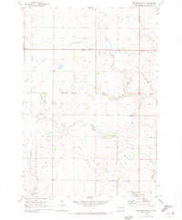
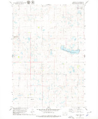
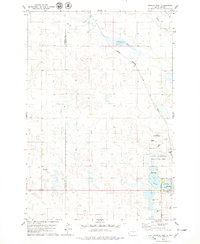
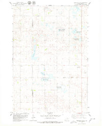
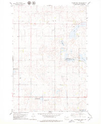
 1970 Richmond SW1973 Print · USGSThe Brown and Edmunds county lines met in this corner of South Dakota during the early 1970s, as the prairie was shifting toward modern farming. You can trace the remnants of the Old Railroad Grade and find water landmarks like Richmond Lake and the Flowing Well.
 - 1970 Map of Wetonka North, 1973 Print
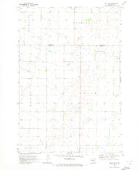
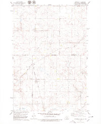
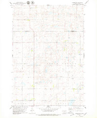
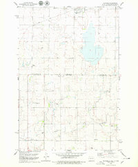
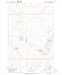
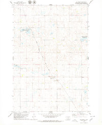
 1970 Wetonka North1973 Print · USGSMcPherson County grain country is captured here in the early 1970s, centered on the settlement of Wetonka. Researchers can trace the path of the Old Railroad Grade and locate water features like Foot Creek and Crompton Lake.
 - 1970 Map of Richmond NW, 1973 Print
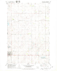
 1970 Richmond NW1973 Print · USGSBrown and McPherson counties come alive in the early 1970s, showcasing a landscape of section lines and prairie drainage. Genealogists and historians can locate the United Church of the Brethren Cem, a local Townhall, and the remnant Old Railroad Grade.
 - 1970 Map of Leola SW, 1973 Print
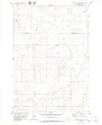
 1970 Leola SW1973 Print · USGSThe northern prairie on the Edmunds and McPherson county line is captured here in the early seventies. Genealogists and local historians can locate Plainview Colony No 2 and trace the township boundaries of Belle, Washington, and Howard.
 - 1978 Map of Hillsview SE
 1978 Hillsview SE1978 Print · USGSThe border of Edmunds and McPherson counties in the late seventies is marked by a focus on waterfowl conservation and rail transport. Trace the route of the Chicago Milwaukee St Paul and Pacific and the borders of the Heilman State Public Shooting Area.
 - 1978 Map of Wolff Lake, 1979 Print
 1978 Wolff Lake1979 Print · USGSThe North Dakota and South Dakota borderlands are captured here during the late 1970s, showing a prairie landscape shaped by seasonal wetlands. Researchers can trace rural life through the Lutheran Cemetery, the small settlement of Lowell, and the Spring Creek corridor.
 - 1978 Map of Greenway, 1979 Print
 1978 Greenway1979 Print · USGSThe high plains of the Dakotas appear in the late 1970s as a landscape of isolated farmsteads and quiet rail sidings. Genealogists and historians can trace the paths of the CHICAGO MILWAUKEE ST PAUL AND PACIFIC railroad and the small settlement of Madra.
 - 1978 Map of Hosmer NW, 1979 Print
 1978 Hosmer NW1979 Print · USGSThe Missouri Coteau region of McPherson County is captured here in the late seventies, showing a landscape of scattered wetlands and prairie potholes. Genealogists and local researchers can locate the Congregational Cem and landmarks such as Graves and a Gravel Pit.
 - 1978 Map of Bowdle-Hosmer Lake, 1979 Print
 1978 Bowdle-Hosmer Lake1979 Print · USGSThe prairie wetlands of North Central South Dakota are documented here in the late seventies, showing a landscape of scattered lakes and rural cemeteries. Family historians can locate St Joseph Cem and St Johns Cem among the conservation lands of the National Waterfowl Production Area.
 - 1978 Map of Hosmer NE, 1979 Print
 1978 Hosmer NE1979 Print · USGSMcPherson County is captured in the late seventies as a landscape of prairie potholes and conservation lands. Genealogists and local historians can locate the Lutheran Cem and Congregational Cem among the wetlands and Gravel Pits.
 - 1978 Map of Eureka West, 1979 Print
 1978 Eureka West1979 Print · USGSMcPherson County was a landscape of rail-connected prairie towns and protected wetlands in the late 1970s. Trace the diagonal route of the Chicago Milwaukee St Paul and Pacific railroad or locate family sites at Zion Cem and Ch of God Cem.
 - 1978 Map of Hosmer SE, 1979 Print
 1978 Hosmer SE1979 Print · USGSThe prairie landscape of Edmunds County during the late 1970s reveals a network of rural townships and glacial wetlands. Genealogists and local historians can trace family land across Sangamon and Gleno, or locate historic burials at Mohr Cem and Hope Cem.
 - 1978 Map of Plainview Colony, 1979 Print
 1978 Plainview Colony1979 Print · USGSThe communal lands of Plainview Colony are captured in the late 1970s, showcasing the agricultural township system in South Dakota. Researchers can locate the local Cem, trace the boundaries of the State Game Protection Area, and find Rosette Lake.
 - 1978 Map of Venturia, 1979 Print
 1978 Venturia1979 Print · USGSThe North Dakota and South Dakota borderlands are captured here in the late seventies, showing the rail-aligned town of Venturia. Genealogists can trace family heritage through a remarkable concentration of local burial sites, including Baptist Cem, Lutheran Cem, and Friedens Cem.
 - 1978 Map of Feinstein Lake, 1979 Print
 1978 Feinstein Lake1979 Print · USGSThe McPherson and Campbell county line in the late seventies is a landscape of glacial prairie potholes and conservation land. Researchers can find family history at Neudorf Cem and trace the contours of Feinstein Lake and Heupel Lake.
 - 1978 Map of Eureka East, 1979 Print
 1978 Eureka East1979 Print · USGSEureka and its surrounding prairie wetlands are captured in the late 1970s as the railroad still connected this agricultural community to the wider region. Researchers can trace family history through Aman Cem or map the boundaries of the National Waterfowl Production Area.
 - 1978 Map of Plainview Colony NE, 1979 Print
 1978 Plainview Colony NE1979 Print · USGSMcPherson County's agricultural landscape is captured here in the late seventies, showing the transition between established rail infrastructure and rural recreation. Researchers can trace the path of the Railroad Grade or locate local landmarks like the Leola Country Club and Roadside Park.
 - 1978 Map of Hosmer, 1979 Print
 1978 Hosmer1979 Print · USGSHosmer and the surrounding prairie were documented in the late 1970s just as the regional rail network still shaped the local economy. Genealogists and historians can trace the town's development through landmarks like Holy Trinity Cemetery and the Chicago Milwaukee St Paul and Pacific railroad.
 - 1978 Map of Schumacher Lake, 1979 Print
 1978 Schumacher Lake1979 Print · USGSMcPherson County was a landscape of conservation and prairie wetlands in the late seventies. Genealogists and historians can trace local landmarks like the Lutheran Cem and recreation grounds at the Schumacher State Public Shooting Area.
 - 1978 Map of Schumacher Lake SW, 1979 Print
 1978 Schumacher Lake SW1979 Print · USGSMcPherson County was a landscape of conservation and waterfowl management in the late seventies. Family-named landmarks such as Glueckstahl Cem and Neuharth State Public Shooting Area reveal the deep-rooted connections between the prairie and the local community.
 - 1978 Map of Plainview Colony NW, 1979 Print
 1978 Plainview Colony NW1979 Print · USGSMcPherson County during the late seventies is shown as a mosaic of prairie wetlands and remote farmsteads. Family historians can pinpoint specific burial grounds like Leola Cem and Rueb Cem or trace the boundaries of the National Waterfowl Production Area.
 - 1978 Map of Hillsview, 1979 Print
 1978 Hillsview1979 Print · USGSThe McPherson County prairie comes into focus during the late seventies, centered on the railroad town of Hillsview. Researchers can trace the path of the Chicago Milwaukee St Paul and Pacific and locate local landmarks like St Joseph Cem and the Flowing Well.
 - 1978 Map of Plainview Colony SW, 1979 Print
 1978 Plainview Colony SW1979 Print · USGSEdmunds and McPherson Counties in the late seventies show a rural landscape of section lines and prairie potholes. Genealogists and local historians can trace property boundaries and land use in North Bryant or Adrian using recorded Gravel Pits and field lines.
Showing maps 1-25 of 26
Top cities of McPherson County
- Eureka historical maps
- Leola historical maps
- Long Lake historical maps
- Wetonka historical maps
- Hillsview historical maps
Frequently asked questions
- What are the different types of historical maps available for McPherson County?
- What is the oldest map of McPherson County?
- Where can I purchase historical maps of McPherson County for my home or office?
- Where can I download high-res historical maps of McPherson County?
- Are there historical topographic maps available for McPherson County?
- Is there historical aerial imagery available for McPherson County?
- Where are historical maps of McPherson County sourced from?