2000s (21st Century) Maps of Black Pipe Segment, South Dakota
Explore 20 historic maps of Black Pipe Segment from the 2000s (21st Century). These maps offer a rare glimpse into what life looked like during the 2000s — showing old roads, neighborhoods, homes, and landmarks that have changed or disappeared over time.
Whether you're researching your family's past, planning a metal detecting trip, or studying how Black Pipe Segment's landscape evolved across the 2000s, these high-resolution maps are a powerful tool for exploring the history of this region.
- Focus on a specific era: All maps on this page are from the 2000s, giving you a focused view of this time period.
- See what’s changed: Compare century-old streets, trails, and buildings to today's modern landscape using overlays and satellite layers.
- Research with precision: Use these maps for genealogy, historical research, land use analysis, or educational projects.
- View, download, or print: Maps are fully viewable online in high resolution, and can be downloaded or printed for your own records.
Start exploring Black Pipe Segment's history through authentic maps from the 2000s. This is your window into the past.
Black Pipe Segment, SD maps
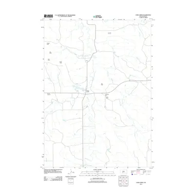
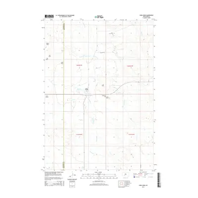
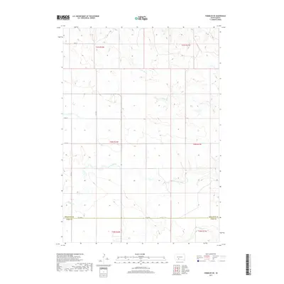
(20)- 2012 Map of Parmelee NE, 2012 Print
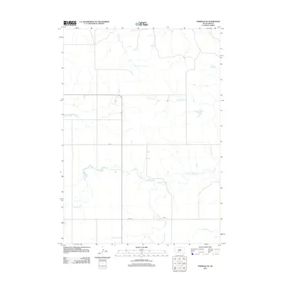 2012 Parmelee NE2012 Print · USGSCovers Black Pipe Segment, including Horse Creek Segment, Parmelee, and other nearby areas
 - 2012 Map of Cedar Butte, 2012 Print
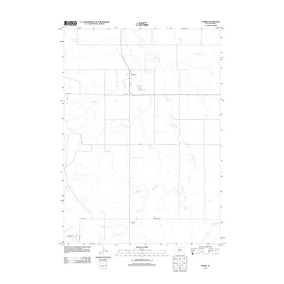
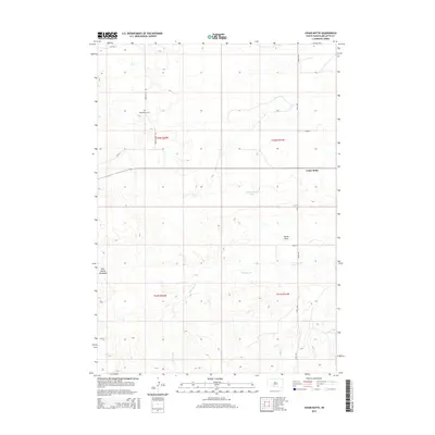
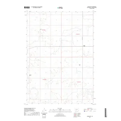
 2012 Cedar Butte2012 Print · USGSCovers Black Pipe Segment, including Swift Bear Segment, Cedar Butte, and other nearby areas
 - 2012 Map of Eagle Mans Butte, 2012 Print
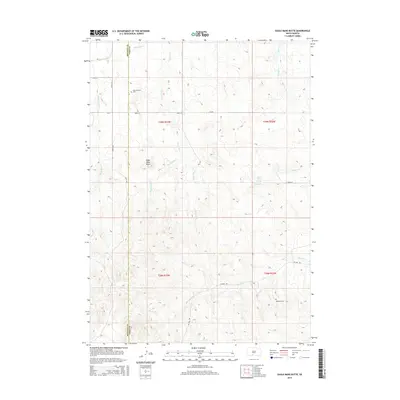
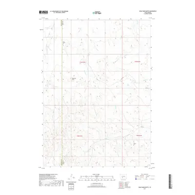
 2012 Eagle Mans Butte2012 Print · USGSCovers Black Pipe Segment, including Martin, He Dog, and other nearby areas
 - 2012 Map of Norris, 2012 Print
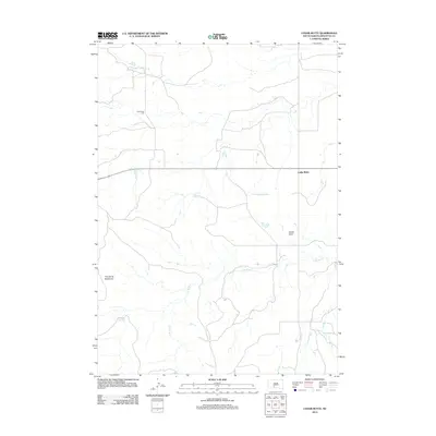
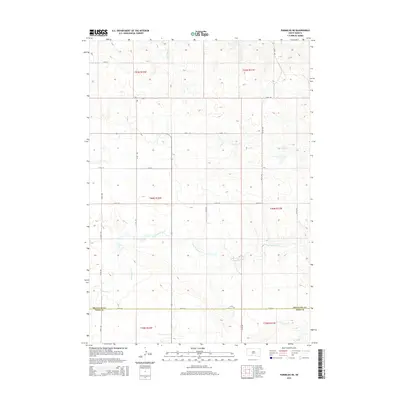
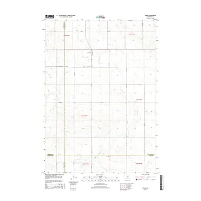
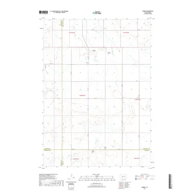
 2012 Norris2012 Print · USGSCovers Black Pipe Segment, including Martin, Norris, and other nearby areas
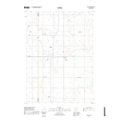
 - 2012 Map of Corn Creek, 2012 Print
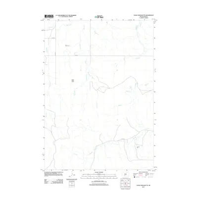
 2012 Corn Creek2012 Print · USGSCovers Black Pipe Segment, including Corn Creek Segment, Corn Creek, and other nearby areas
 - 2015 Map of Cedar Butte, 2015 Print
 2015 Cedar Butte2015 Print · USGSCovers Black Pipe Segment, including Swift Bear Segment, Cedar Butte, and other nearby areas
 - 2015 Map of Parmelee NE, 2015 Print
 2015 Parmelee NE2015 Print · USGSCovers Black Pipe Segment, including Horse Creek Segment, Parmelee, and other nearby areas
 - 2015 Map of Eagle Mans Butte, 2015 Print
 2015 Eagle Mans Butte2015 Print · USGSCovers Black Pipe Segment, including Martin, He Dog, and other nearby areas
 - 2015 Map of Norris, 2015 Print
 2015 Norris2015 Print · USGSCovers Black Pipe Segment, including Martin, Norris, and other nearby areas
 - 2015 Map of Corn Creek, 2015 Print
 2015 Corn Creek2015 Print · USGSCovers Black Pipe Segment, including Corn Creek Segment, Corn Creek, and other nearby areas
 - 2017 Map of Eagle Mans Butte, 2017 Print
 2017 Eagle Mans Butte2017 Print · USGSCovers Black Pipe Segment, including Martin, He Dog, and other nearby areas
 - 2017 Map of Norris, 2017 Print
 2017 Norris2017 Print · USGSCovers Black Pipe Segment, including Martin, Norris, and other nearby areas
 - 2017 Map of Parmelee NE, 2017 Print
 2017 Parmelee NE2017 Print · USGSCovers Black Pipe Segment, including Horse Creek Segment, Parmelee, and other nearby areas
 - 2017 Map of Corn Creek, 2017 Print
 2017 Corn Creek2017 Print · USGSCovers Black Pipe Segment, including Corn Creek Segment, Corn Creek, and other nearby areas
 - 2017 Map of Cedar Butte, 2017 Print
 2017 Cedar Butte2017 Print · USGSCovers Black Pipe Segment, including Swift Bear Segment, Cedar Butte, and other nearby areas
 - 2021 Map of Corn Creek, 2021 Print
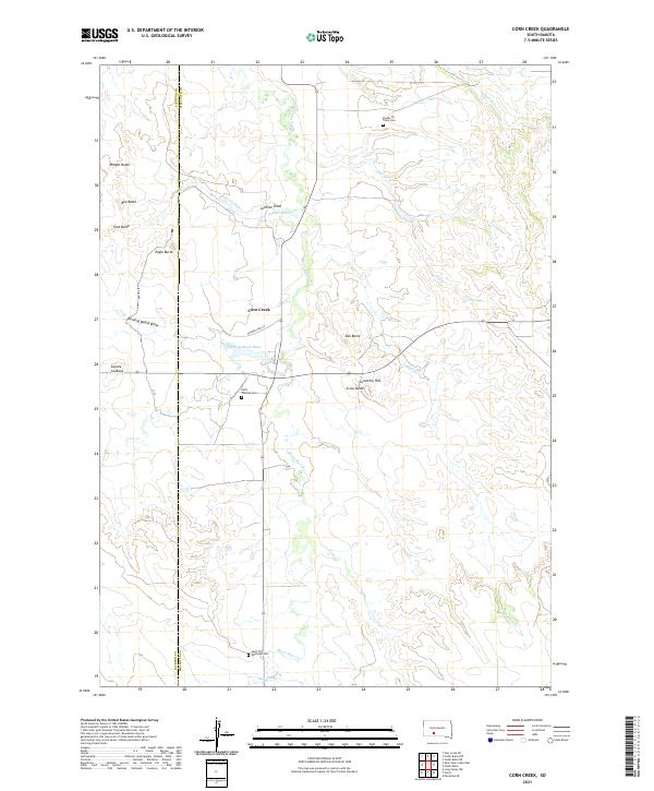 2021 Corn Creek2021 Print · USGSMellette and Jackson counties are documented here in the modern era, showing a landscape defined by rolling buttes and traditional creek crossings. Researchers can locate specific burial sites and family landmarks like Stands for Them Cem, Eagle Butte, and Saint Thomas Cem.
 - 2021 Map of Eagle Mans Butte, 2021 Print
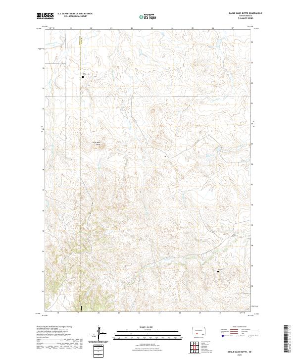 2021 Eagle Mans Butte2021 Print · USGSThe Todd County plains and the Bennett County border are captured here during the early twenty-first century. Researchers can locate family sites near Saint Stephen Cemetery or trace the drainage of Eagle Chief Creek and Black Elk Creek.
 - 2021 Map of Parmelee NE, 2021 Print
 2021 Parmelee NE2021 Print · USGSThe rural borderlands of Mellette and Todd counties are captured in this recent survey of the South Dakota plains. Researchers can trace land tracts near the Saint John Lutheran Cem or follow the paths of Gray Eagletail Creek and Swimmer Creek.
 - 2021 Map of Norris, 2021 Print
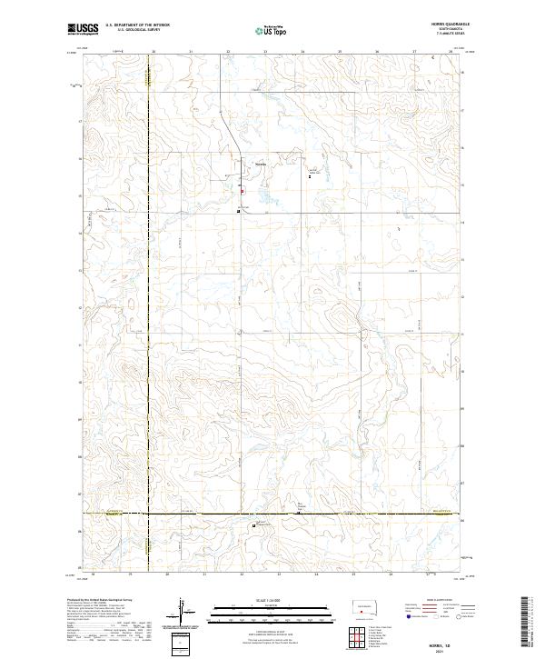 2021 Norris2021 Print · USGSThe rural prairie landscape surrounding Norris is documented here as it appeared in the early 2020s. Researchers can locate family landmarks such as the Red Leaf Tiospaye Cem, Poor Thunder Cem, and the winding path of Black Pipe Cr.
 - 2021 Map of Cedar Butte, 2021 Print
 2021 Cedar Butte2021 Print · USGSMellette County is documented in the modern era as a landscape of isolated geological landmarks and remote prairie settlements. Researchers can locate the Cedarbutte Cem and trace the contours of The Devils Backbone and Devils Gate.
End of results
Showing maps 1-20 of 20
Top cities near Black Pipe Segment
Top neighborhoods of Black Pipe Segment
Frequently asked questions
- What are the different types of historical maps available for Black Pipe Segment?
- What is the oldest map of Black Pipe Segment?
- Where can I purchase historical maps of Black Pipe Segment for my home or office?
- Where can I download high-res historical maps of Black Pipe Segment?
- Are there historical topographic maps available for Black Pipe Segment?
- Is there historical aerial imagery available for Black Pipe Segment?
- Where are historical maps of Black Pipe Segment sourced from?