Old Maps of Butte Creek Segment, South Dakota for Genealogy
Trace your family roots with 38 historic maps of Butte Creek Segment. These high-res maps reveal old neighborhoods, homesites, landmarks, and streets — helping you uncover where your ancestors lived and how the area evolved over time.
- Explore historic neighborhoods: Identify where your relatives may have lived in the 1800s or 1900s.
- Compare maps over time: Trace the changes in streets, buildings, and landmarks for multi-generational research.
- Perfect for genealogy & ancestry research: Used by family historians and researchers to map out lineage and migration.
These maps are an incredible resource for exploring your personal connection to Butte Creek Segment's past.
Butte Creek Segment, SD maps
(38)- 1951 Map of Badnation, 1953 Print
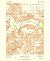
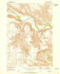 1951 Badnation1953 Print · USGSThe White River breaks of South Dakota are shown here in the early 1950s, revealing a landscape of remote settlements and mission churches. Researchers can locate the Bad Nation Indian Sch and rural congregations like St George Ch and St Catharine Ch.2 unique versions available
 - 1951 Map of Presho 4 NE, 1953 Print
 1951 Presho 4 NE1953 Print · USGSThe White River valley in the early fifties shows a remote landscape of prairie townships divided between Lyman and Tripp counties. Local historians can trace the foundations of rural life at sites like Holy Rosary Ch, North Greenwood Sch, and the winding Mission Creek.4 unique versions available
 - 1951 Map of White River NE, 1953 Print
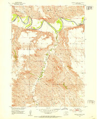
 1951 White River NE1953 Print · USGSThe river breaks of South Dakota are captured in detail during the early fifties, showing the frontier-style settlement patterns of Mellette and Jones counties. Genealogists and local historians can trace rural schoolhouse locations like Strait Sch and Paleck Sch near the White River.3 unique versions available
 - 1951 Map of Badnation NW, 1953 Print
 1951 Badnation NW1953 Print · USGSThe White River corridor in South Dakota was being carefully mapped in the early fifties for Missouri River Basin development. Genealogists and researchers can trace local land divisions in Zickrick, Riverside, and the rugged draws of Badnation.2 unique versions available
 - 1951 Map of Presho 4 NW, 1953 Print
 1951 Presho 4 NW1953 Print · USGSThe White River breaks of South Dakota are captured in the early fifties during a period of Missouri River Basin development. Genealogists and local historians can trace isolated homesteads such as Krutson Ranch and Iverson Ranch or the location of the Pleasant Hill Sch.4 unique versions available
 - 1955 Map of Martin, 1968 Print
 1955 Martin1968 Print · USGSTribal lands and rail corridors define the South Dakota plains in the mid-fifties, from the sand hills to the badlands. Genealogists and historians can trace the early layout of Pine Ridge Indian Reservation settlements and find small rail towns like Stamford and Witten.2 unique versions available
 - 1958 Map of Martin
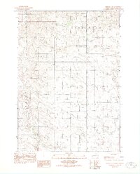
 1958 Martin1958 Print · USGSSouth Dakota's southern plains are documented here in the late fifties, showing the expansive Pine Ridge and Rosebud Indian Reservations. Genealogists and historians can locate early settlements along the Chicago Milwaukee St Paul and Pacific line or find family roots near Martin and the Indian Cemetery.
 - 1969 Map of Mission NW, 1971 Print
 1969 Mission NW1971 Print · USGSThe rural prairie landscape of Mellette County was surveyed in the late 1960s as it appeared before many modern shifts. Genealogists and researchers can trace community landmarks like St James Chapel, Body of Christ Cem, and the Neville Sch near the Horse Creek drainage.
 - 1982 Map of Mission NE
 1982 Mission NE1982 Print · USGSMellette and Todd Counties at the start of the 1980s reveal a landscape of vast ranchlands and reservation geography. Local history researchers can pinpoint family holdings like Gifford Ranch and Lauritsen Ranch along the banks of White Thunder Creek.
 - 1982 Map of Presho 4 SE
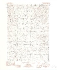
 1982 Presho 4 SE1982 Print · USGSTripp County townships are documented during the late seventies, showing a quiet prairie landscape shaped by winding waterways. Researchers can trace the location of the Eden Sch and early road networks along Cottonwood Creek or near Owl Creek.2 unique versions available
 - 1982 Map of Two Nation Creek
 1982 Two Nation Creek1982 Print · USGSThe high plains of Mellette and Tripp Counties are captured here in the early eighties as a landscape of isolated homesteads and prairie creeks. Researchers can locate the Pahapesto Sch, trace the winding Two Nation Creek, and find the remote Landing Strip and Gravel Pit sites.
 - 1982 Map of White River SE
 1982 White River SE1982 Print · USGSSouth Dakota ranching country is meticulously detailed in the early eighties, showing the dispersed family operations across Mellette County. Researchers can trace landholdings like Frank Krogman Ranch and Iverson Ranch or locate St Marys Garden Cem.
 - 1982 Map of Wood North
 1982 Wood North1982 Print · USGSMellette County during the early eighties remains a landscape defined by its natural waterways and tribal boundaries. Genealogists and researchers can trace the winding courses of White Thunder Creek and Butte Creek through the Rosebud and Cody areas.
 - 1982 Map of Badnation SE
 1982 Badnation SE1982 Print · USGSMellette County, South Dakota, is captured in the early eighties as a landscape of open prairie and winding creek beds. Genealogists and local historians can trace the borders of the Rosebud Indian Reservation and locate landmarks like the Butte and Oak Creek.
 - 1982 Map of Witten
 1982 Witten1982 Print · USGSTripp County life in the early 1980s centers around the small community of Witten and its surrounding farm sections. Researchers can locate St John the Baptist Cem and trace the winding paths of Cottonwood Creek and Jordan Junction.
 - 1982 Map of White River East
 1982 White River East1982 Print · USGSMellette County ranching country is captured here in the early eighties, centered on the community of White River. Local historians and genealogists can trace family landholdings such as Hutchinson Ranch, Didier Ranch, and Ellis Ranch along the Little White River.
 - 1982 Map of Carter
 1982 Carter1982 Print · USGSTripp County and the surrounding tribal lands are captured here in the early eighties as rail service gave way to rural roads. Genealogists and local historians can trace the boundary of the Rosebud Indian Res and locate sites like Carter or the Schlakker Landing Strip.
 - 1982 Map of Mosher
 1982 Mosher1982 Print · USGSMellette and Todd Counties were still defined by remote prairie drainages and quiet outposts in the early 1980s. Genealogists and historians can trace the Old R.R. Grade through the Rosebud Indian Reservation and locate the Advent Cem near Mosher.
 - 1982 Map of Wood South
 1982 Wood South1982 Print · USGSThe northern edge of the Rosebud Reservation comes into focus during the early 1980s, centered on the community of Wood. Researchers can trace local landmarks and burial sites like the Grandstand Rodeo Arena, Evergreen Cem, and Rattlesnake Butte.
 - 1982 Map of Mission, 1983 Print
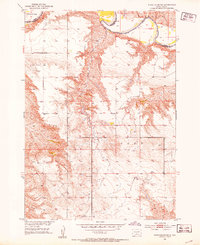
 1982 Mission1983 Print · USGSThe Rosebud Reservation in the early eighties shows a landscape of plains communities and aviation outposts. Genealogists and researchers can trace local centers like Mission, Rosebud, and St Francis, or locate family landmarks near Antelope Lake and the Keya Paha River.
 - 1985 Map of White River, 1986 Print
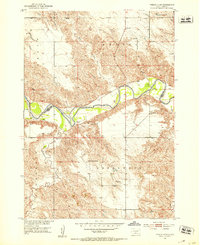
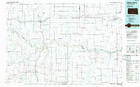 1985 White River1986 Print · USGSSouth-central South Dakota comes into focus during the mid-eighties as a critical junction of rail and river life. Researchers can trace the Chicago and North Western line through high-plains towns like Murdo and Presho or locate rural landmarks such as Stony Butte and Fate Dam.2 unique versions available
 - 2021 Map of Mission NE, 2021 Print
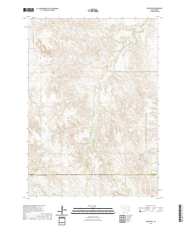 2021 Mission NE2021 Print · USGSWhite Thunder Creek meanders through the Mellette and Todd County line in this modern study of the South Dakota landscape. Researchers can trace the rural road network along Wht Wind Rd and the drainage of Horse Head Cr across the high plains.
 - 2021 Map of Badnation, 2021 Print
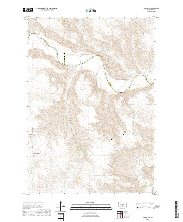 2021 Badnation2021 Print · USGSThe river valleys of south-central South Dakota are documented in this recent survey during a period of quiet rural endurance. Researchers can trace the junction of three counties along the White River and locate local landmarks like Badnation and Rosebud Cem.
 - 2021 Map of Badnation NW, 2021 Print
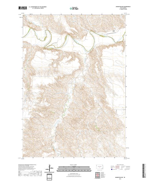 2021 Badnation NW2021 Print · USGSThe Mellette County ranchlands along the White River are captured here in the early twenty-first century. Researchers can trace the drainage of White Thunder Cr and locate remote landmarks like the Valburg Ranch Airport.
 - 2021 Map of Mosher, 2021 Print
 2021 Mosher2021 Print · USGSMellette County ranching country is captured here in the early twenty-first century, showing the enduring structure of the Great Plains landscape. Researchers can trace the drainages of Oak Cr and White Horse Cr as they wind through the vicinity of Mosher.
Showing maps 1-25 of 38
Top cities near Butte Creek Segment
Frequently asked questions
- What are the different types of historical maps available for Butte Creek Segment?
- What is the oldest map of Butte Creek Segment?
- Where can I purchase historical maps of Butte Creek Segment for my home or office?
- Where can I download high-res historical maps of Butte Creek Segment?
- Are there historical topographic maps available for Butte Creek Segment?
- Is there historical aerial imagery available for Butte Creek Segment?
- Where are historical maps of Butte Creek Segment sourced from?