
1951 Map of White River NE
USGS Topo · Published 1953About this map
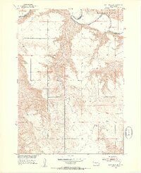
The White River carves a deep path through the northern plains of this territory, defining the border between Jones and Mellette counties. The landscape is characterized by the complex drainage systems of Kaiser Creek and numerous unnamed coulees that feed into the main river valley. This era of rural South Dakota is marked by a network of isolated country schoolhouses that anchored remote homesteading communities, including Prosperity Flats Sch, Strait Sch, and Paleck Sch. Small-scale resource extraction and agriculture are evidenced by the presence of a Gravel Pit and a Windmill near the settlement of Westover. The topography reveals the transition from the high prairie flats of the Cody and Zickrick districts down into the broken, eroded breaks of the river valley, offering a detailed view of the terrain as it existed just after mid-century.
Find a feature on this map
12 named features on this map. Tap any name to fly to it.
Don’t see what you’re looking for? This feature index may not catch every label — zoom into the map to look around manually.
Map Details
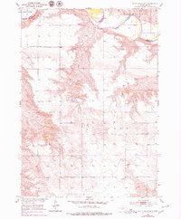
Editions of this 1951 White River NE Map
3 editions found
Other maps of this area

1951 · Murdo SE
USGS Topo · 1:24,000

1951 · Westover
USGS Topo · 1:24,000

1951 · Badnation NW
USGS Topo · 1:24,000

1951 · Murdo SW
USGS Topo · 1:24,000

1955 · Martin
USGS Topo · 1:250,000

1958 · Martin
USGS Topo · 1:250,000

1970 · Vivian SW
USGS Topo · 1:24,000

1982 · White River SE
USGS Topo · 1:24,000

1982 · Wood North
USGS Topo · 1:24,000

1982 · White River East
USGS Topo · 1:24,000