2000s (21st Century) Maps of Rapid City, South Dakota
Explore 24 historic maps of Rapid City from the 2000s (21st Century). These maps offer a rare glimpse into what life looked like during the 2000s — showing old roads, neighborhoods, homes, and landmarks that have changed or disappeared over time.
Whether you're researching your family's past, planning a metal detecting trip, or studying how Rapid City's landscape evolved across the 2000s, these high-resolution maps are a powerful tool for exploring the history of this region.
- Focus on a specific era: All maps on this page are from the 2000s, giving you a focused view of this time period.
- See what’s changed: Compare century-old streets, trails, and buildings to today's modern landscape using overlays and satellite layers.
- Research with precision: Use these maps for genealogy, historical research, land use analysis, or educational projects.
- View, download, or print: Maps are fully viewable online in high resolution, and can be downloaded or printed for your own records.
Start exploring Rapid City's history through authentic maps from the 2000s. This is your window into the past.
Rapid City, SD maps
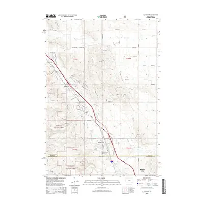
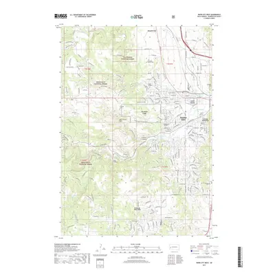
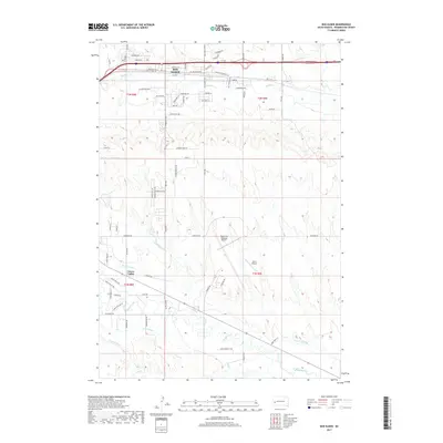
(24)- 2012 Map of Hermosa NW, 2012 Print
 2012 Hermosa NW2012 Print · USGSCovers Rapid City, including Ajax, Warbonnet, and other nearby areas
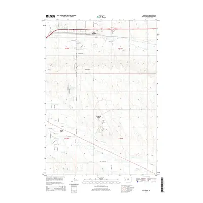
 - 2012 Map of Blackhawk, 2012 Print
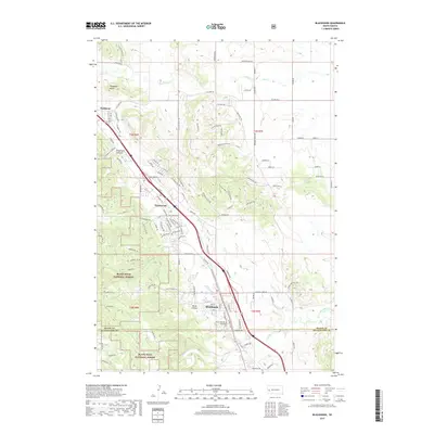
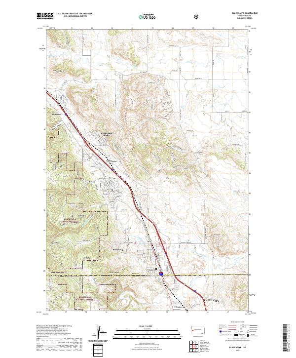
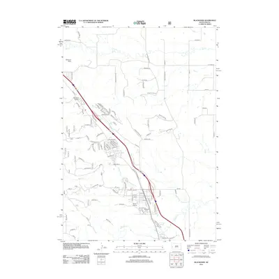 2012 Blackhawk2012 Print · USGSCovers Rapid City, including Summerset, Piedmont, and other nearby areas
 - 2012 Map of Rapid City West, 2012 Print
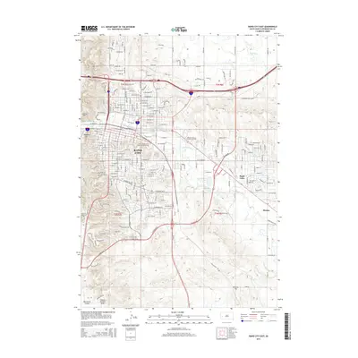
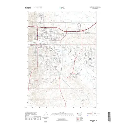
 2012 Rapid City West2012 Print · USGSCovers Rapid City, including Clarkson Addition, Schaeferville, and other nearby areas
 - 2012 Map of Rapid City NW, 2012 Print
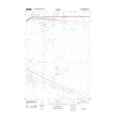
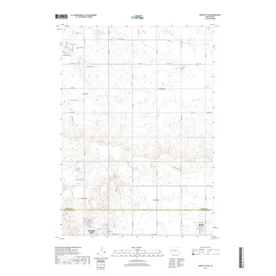
 2012 Rapid City NW2012 Print · USGSCovers Rapid City, including Box Elder, Pennington County, and other nearby areas
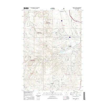
 - 2012 Map of Rapid City East, 2012 Print
 2012 Rapid City East2012 Print · USGSCovers Rapid City, including Box Elder, Twilight Hills Addition, and other nearby areas
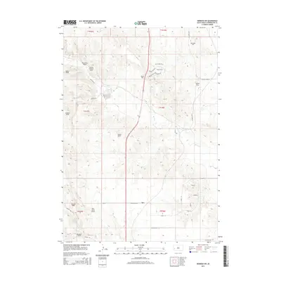
 - 2012 Map of Box Elder, 2012 Print
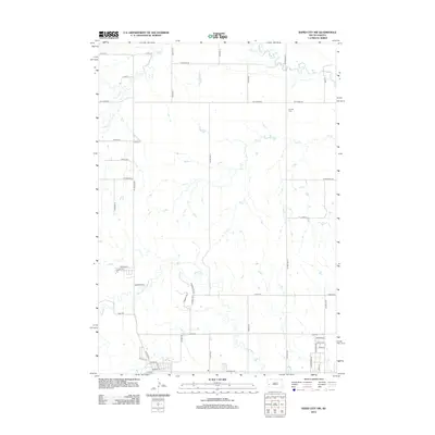
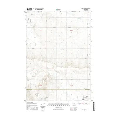
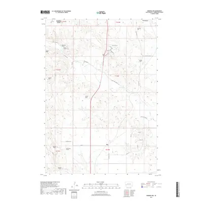
 2012 Box Elder2012 Print · USGSCovers Rapid City, including Box Elder, Rapid Valley, and other nearby areas
 - 2015 Map of Rapid City NW, 2015 Print
 2015 Rapid City NW2015 Print · USGSCovers Rapid City, including Box Elder, Pennington County, and other nearby areas
 - 2015 Map of Blackhawk, 2015 Print
 2015 Blackhawk2015 Print · USGSCovers Rapid City, including Summerset, Piedmont, and other nearby areas
 - 2015 Map of Box Elder, 2015 Print
 2015 Box Elder2015 Print · USGSCovers Rapid City, including Box Elder, Rapid Valley, and other nearby areas
 - 2015 Map of Hermosa NW, 2015 Print
 2015 Hermosa NW2015 Print · USGSCovers Rapid City, including Ajax, Warbonnet, and other nearby areas
 - 2015 Map of Rapid City West, 2015 Print
 2015 Rapid City West2015 Print · USGSCovers Rapid City, including Clarkson Addition, Schaeferville, and other nearby areas
 - 2015 Map of Rapid City East, 2015 Print
 2015 Rapid City East2015 Print · USGSCovers Rapid City, including Box Elder, Twilight Hills Addition, and other nearby areas
 - 2017 Map of Rapid City West, 2017 Print
 2017 Rapid City West2017 Print · USGSCovers Rapid City, including Clarkson Addition, Schaeferville, and other nearby areas
 - 2017 Map of Rapid City NW, 2017 Print
 2017 Rapid City NW2017 Print · USGSCovers Rapid City, including Box Elder, Pennington County, and other nearby areas
 - 2017 Map of Blackhawk, 2017 Print
 2017 Blackhawk2017 Print · USGSCovers Rapid City, including Summerset, Piedmont, and other nearby areas
 - 2017 Map of Box Elder, 2017 Print
 2017 Box Elder2017 Print · USGSCovers Rapid City, including Box Elder, Rapid Valley, and other nearby areas
 - 2017 Map of Rapid City East, 2017 Print
 2017 Rapid City East2017 Print · USGSCovers Rapid City, including Box Elder, Twilight Hills Addition, and other nearby areas
 - 2017 Map of Hermosa NW, 2017 Print
 2017 Hermosa NW2017 Print · USGSCovers Rapid City, including Ajax, Warbonnet, and other nearby areas
 - 2021 Map of Hermosa NW, 2021 Print
 2021 Hermosa NW2021 Print · USGSPennington County southeast of the city center is shown here in the early 2020s as modern subdivisions meet the rural landscape. Researchers can trace land use patterns near Ajax or locate local landmarks like Potato Butte, Gobbler Knob, and the Mulligan Mile.
 - 2021 Map of Rapid City NW, 2021 Print
 2021 Rapid City NW2021 Print · USGSThe northern fringes of the Black Hills region come into focus during this era of suburban and rural expansion. Trace the growth of Ashland Heights and Box Elder, or locate the Elk Vale Cem nestled near Elk Creek.
 - 2021 Map of Rapid City West, 2021 Print
 2021 Rapid City West2021 Print · USGSPennington County at the start of the 2020s shows the western expansion of the Black Hills foothills. Genealogists can trace family plots at Mountain View Cem or locate regional landmarks like the Gossage Memorial and NG Camp Rapid.
 - 2021 Map of Blackhawk, 2021 Print
 2021 Blackhawk2021 Print · USGSThe eastern Black Hills come alive in this modern survey of the growing corridor between Piedmont and Rapid City. Genealogists and local researchers can trace family sites at the Blackhawk Cem or follow the rugged boundaries of the Black Hills National Forest and Stagebarn Canyon.
 - 2021 Map of Box Elder, 2021 Print
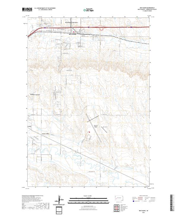 2021 Box Elder2021 Print · USGSPennington County near the turn of the decade shows the growth of aviation and irrigation infrastructure east of the Black Hills. Researchers can trace historic water rights and drainage via Hawthorne Ditch and Lone Tree Ditch near Murphy and Green Valley.
 - 2021 Map of Rapid City East, 2021 Print
 2021 Rapid City East2021 Print · USGSPennington County at the start of the 2020s shows the continued growth of Rapid City and Box Elder. Researchers can trace local development through landmarks like the South Dakota School of Mines and Technology and irrigation networks like Iowa Ditch.
End of results
Showing maps 1-24 of 24
Top cities near Rapid City
Top neighborhoods of Rapid City
- Arrowhead Estates historical maps
- Sioux Village historical maps
- Twilight Hills Addition historical maps
- Broadmoor Subdivision historical maps
- Wildwood Addition historical maps
- Main Street Square historical maps
Frequently asked questions
- What are the different types of historical maps available for Rapid City?
- What is the oldest map of Rapid City?
- Where can I purchase historical maps of Rapid City for my home or office?
- Where can I download high-res historical maps of Rapid City?
- Are there historical topographic maps available for Rapid City?
- Is there historical aerial imagery available for Rapid City?
- Where are historical maps of Rapid City sourced from?