2010s Maps of Rapid City, South Dakota
Explore 18 historic maps of Rapid City from the 2010s. These maps offer a rare glimpse into what life looked like during the 2010s — showing old roads, neighborhoods, homes, and landmarks that have changed or disappeared over time.
Whether you're researching your family's past, planning a metal detecting trip, or studying how Rapid City's landscape evolved across the 2010s, these high-resolution maps are a powerful tool for exploring the history of this region.
- Focus on a specific era: All maps on this page are from the 2010s, giving you a focused view of this time period.
- See what’s changed: Compare century-old streets, trails, and buildings to today's modern landscape using overlays and satellite layers.
- Research with precision: Use these maps for genealogy, historical research, land use analysis, or educational projects.
- View, download, or print: Maps are fully viewable online in high resolution, and can be downloaded or printed for your own records.
Start exploring Rapid City's history through authentic maps from the 2010s. This is your window into the past.
Rapid City, SD maps
(18)- 2012 Map of Hermosa NW, 2012 Print
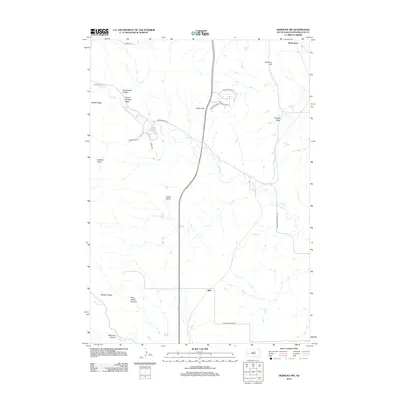 2012 Hermosa NW2012 Print · USGSPennington County's rugged foothills are shown in detail here during the early twenty-first century. Genealogists and hikers can trace family-named landmarks like Walt Smith Canyon or locate the rural settlement of Ajax near Spring Cr.
 - 2012 Map of Blackhawk, 2012 Print
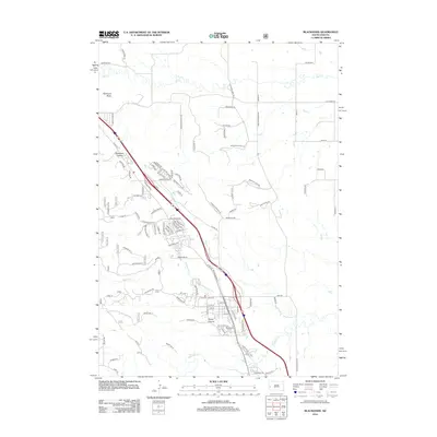 2012 Blackhawk2012 Print · USGSThe eastern edge of the Black Hills comes into focus in the early 2010s, showing the residential expansion around Blackhawk. Genealogists and local historians can trace modern developments near Blackhawk Cem, Stagebarn Canyon, and Piedmont Butte.
 - 2012 Map of Rapid City West, 2012 Print
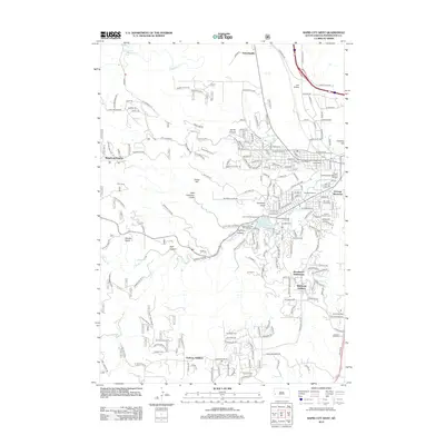 2012 Rapid City West2012 Print · USGSWestern Rapid City is captured in the early 2010s as it expands into the surrounding gulches and canyons. Researchers can trace local landmarks like Camp Rapid, Lien Airfield, and the Cleghorn Springs Fish Hatchery.
 - 2012 Map of Rapid City NW, 2012 Print
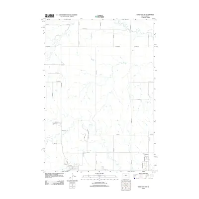 2012 Rapid City NW2012 Print · USGSRapid City's northwestern periphery is captured here during a period of transition in the early twenty-first century. Genealogists and local historians can trace family locations near Elk Vale Cem or follow the paths of Boxelder Cr and Elk Cr.
 - 2012 Map of Rapid City East, 2012 Print
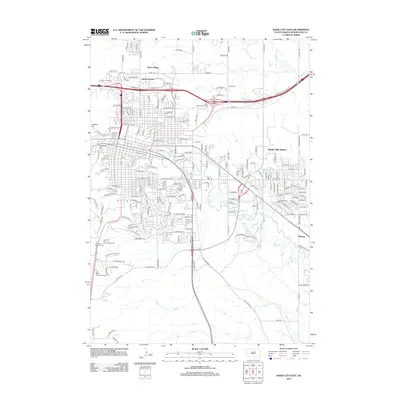 2012 Rapid City East2012 Print · USGSRapid City and its eastern fringes are captured here in the early twenty-first century, showing a mix of suburban growth and traditional irrigation. Researchers can trace the paths of the Hawthorne Ditch or locate landmarks like Sioux Village and The Ranch Amusement Park.
 - 2012 Map of Box Elder, 2012 Print
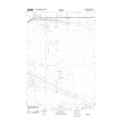 2012 Box Elder2012 Print · USGSPennington County at the start of the 2010s shows a landscape shaped by aviation and essential water management. Researchers can trace the complex irrigation network of Murphy Ditch and Cyclone Ditch or locate family-owned runways like Dan's Airport.
 - 2015 Map of Rapid City NW, 2015 Print
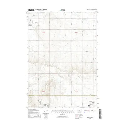 2015 Rapid City NW2015 Print · USGSRapid City and the community of Ashland Heights are captured here during a period of suburban growth just after the millennium. Researchers can trace the development of local roads and find landmarks like Elk Vale Cem or the banks of Boxelder Creek.
 - 2015 Map of Blackhawk, 2015 Print
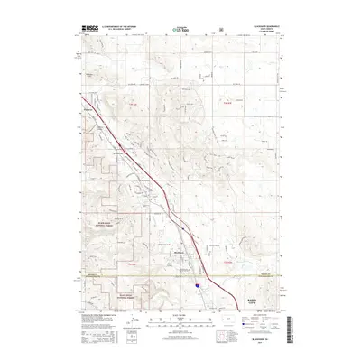 2015 Blackhawk2015 Print · USGSThe northern fringes of the Black Hills come into sharp focus during this period of rapid suburban growth. Researchers can trace the development of Summerset and Blackhawk or locate family sites near Blackhawk Cem and Piedmont Butte.
 - 2015 Map of Box Elder, 2015 Print
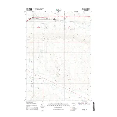 2015 Box Elder2015 Print · USGSPennington County reveals its mix of aviation hubs and prairie agriculture during this mid-decade survey. Researchers can trace the complex water systems of Murphy Ditch and Rapid Creek alongside the growing footprints of Box Elder and Green Valley.
 - 2015 Map of Hermosa NW, 2015 Print
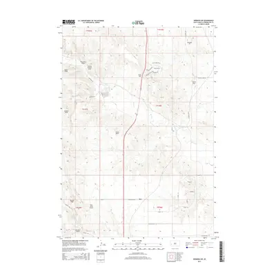 2015 Hermosa NW2015 Print · USGSThe foothills south of Rapid City are mapped in this mid-2010s survey, detailing a landscape shaped by ranching and rugged drainages. Genealogists and local historians can trace family-named landmarks like Walt Smith Canyon, Mannhan Canyon, and the settlement of Ajax.
 - 2015 Map of Rapid City West, 2015 Print
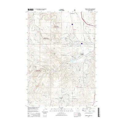 2015 Rapid City West2015 Print · USGSRapid City and the eastern Black Hills are captured in the mid-2010s as urban growth reaches toward the national forest. Researchers can trace modern road networks and land use near Canyon Lake, Schaeferville, and the Mountain View Cem.
 - 2015 Map of Rapid City East, 2015 Print
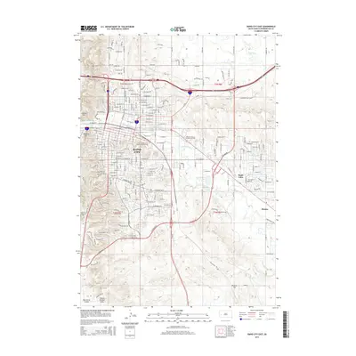 2015 Rapid City East2015 Print · USGSRapid City and the eastern suburbs of Pennington County are shown here during a period of modern growth. Researchers can trace the path of historic irrigation networks like the Iowa Ditch and Cyclone Ditch or locate landmarks such as the South Dakota Sch of Mines and Technology.
 - 2017 Map of Rapid City West, 2017 Print
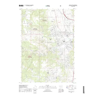 2017 Rapid City West2017 Print · USGSRapid City expands into the foothills of the Black Hills in the late twenty-tens, where urban development meets rugged gulches. Trace local landmarks like Saint Martin Monastery, the Gossage Memorial, and the residential layout of Colonial Pine Hills.
 - 2017 Map of Rapid City NW, 2017 Print
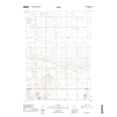 2017 Rapid City NW2017 Print · USGSThe northern edge of Rapid City meets the Black Hills foothills in the late 2010s. Genealogists and local historians can trace the boundary between Meade and Pennington counties or locate Elk Vale Cem near Elk Creek Rd and Ashland Heights.
 - 2017 Map of Blackhawk, 2017 Print
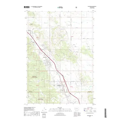 2017 Blackhawk2017 Print · USGSThe Black Hills foothills south of Piedmont are captured here in the late twenty-teens as residential growth follows the Sturgis Road corridor. Researchers can trace local development around Summerset, Blackhawk, and the Blackhawk Cemetery near Wards Canyon.
 - 2017 Map of Box Elder, 2017 Print
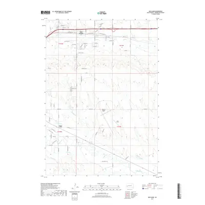 2017 Box Elder2017 Print · USGSPennington County at the edge of the Black Hills is shown here during a period of significant suburban and aviation growth. Researchers can trace the development of Box Elder and Green Valley or locate regional landmarks like Rapid City Regional Airport.
 - 2017 Map of Rapid City East, 2017 Print
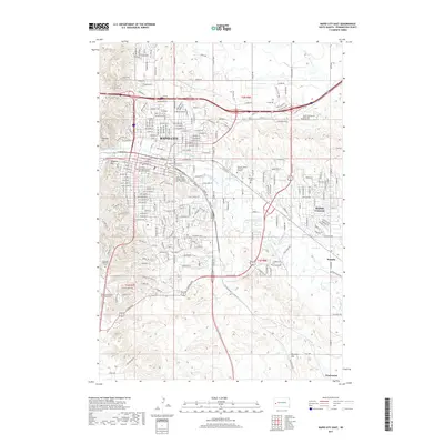 2017 Rapid City East2017 Print · USGSRapid City and the surrounding plains are captured in this recent survey, showcasing the modern urban grid against a historical irrigation landscape. Researchers can trace the paths of Iowa Ditch or locate Pine Lawn Memorial Park and the Rapid Valley settlement.
 - 2017 Map of Hermosa NW, 2017 Print
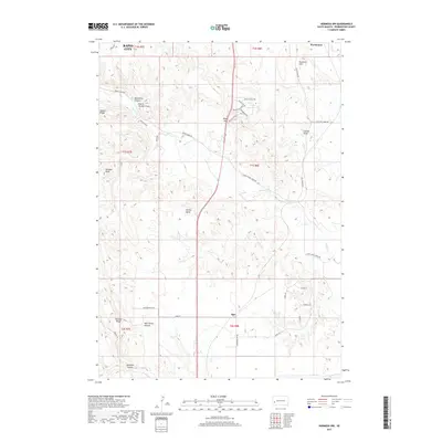 2017 Hermosa NW2017 Print · USGSThe outskirts of Rapid City meet the foothills of the Black Hills in this 2017 survey of Pennington County. Researchers can trace rural landmarks and family-named features like Murphy Ridge, Potato Butte, and the canyon known as Moonshine Canyon.
End of results
Showing maps 1-18 of 18
Top cities near Rapid City
Top neighborhoods of Rapid City
- Arrowhead Estates historical maps
- Sioux Village historical maps
- Twilight Hills Addition historical maps
- Broadmoor Subdivision historical maps
- Wildwood Addition historical maps
- Main Street Square historical maps
Frequently asked questions
- What are the different types of historical maps available for Rapid City?
- What is the oldest map of Rapid City?
- Where can I purchase historical maps of Rapid City for my home or office?
- Where can I download high-res historical maps of Rapid City?
- Are there historical topographic maps available for Rapid City?
- Is there historical aerial imagery available for Rapid City?
- Where are historical maps of Rapid City sourced from?