1980s Maps of Perkins County, South Dakota
Explore 47 historic maps of Perkins County from the 1980s. These maps offer a rare glimpse into what life looked like during the 1980s — showing old roads, neighborhoods, homes, and landmarks that have changed or disappeared over time.
Whether you're researching your family's past, planning a metal detecting trip, or studying how Perkins County's landscape evolved across the 1980s, these high-resolution maps are a powerful tool for exploring the history of this region.
- Focus on a specific era: All maps on this page are from the 1980s, giving you a focused view of this time period.
- See what’s changed: Compare century-old streets, trails, and buildings to today's modern landscape using overlays and satellite layers.
- Research with precision: Use these maps for genealogy, historical research, land use analysis, or educational projects.
- View, download, or print: Maps are fully viewable online in high resolution, and can be downloaded or printed for your own records.
Start exploring Perkins County's history through authentic maps from the 1980s. This is your window into the past.
Perkins County, SD maps
(47)- 1980 Map of Beverly Creek, 1981 Print
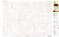
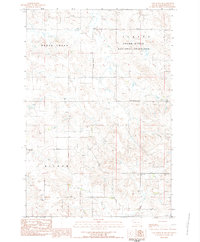
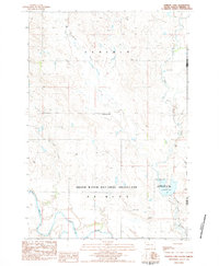
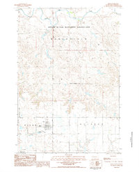
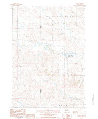
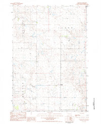
 1980 Beverly Creek1981 Print · USGSWest of the Moreau River in the early 1980s, this region captures the high plains at the meeting point of three counties. Genealogists and historians can trace the isolated settlement at Mud Butte and rural road networks near Beverly Creek and Cabin Creek.
 - 1980 Map of McIntosh, 1981 Print
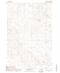
 1980 McIntosh1981 Print · USGSThe northern plains of the Standing Rock Indian Reservation are shown here as they appeared in the early 1980s. You can trace the railroad history of Corson County along the Chicago Milwaukee St Paul and Pacific line, connecting settlements like Watauga and Morristown.
 - 1980 Map of Zeona, 1981 Print
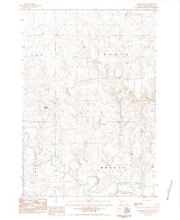
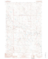
 1980 Zeona1981 Print · USGSThe ranching country of western South Dakota is captured here in the late seventies, centered on the small community of Zeona. Researchers can trace the confluence of the North Fork Moreau River and locate local landmarks like Immanuel Ch and Ruby Cem.
 - 1983 Map of Grandmas Butte, 1984 Print
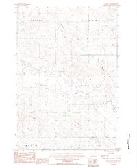
 1983 Grandmas Butte1984 Print · USGSPerkins County rangeland in the early 1980s is captured here, showing the intricate drainages and high points of this prairie landscape. Researchers can locate the central Townhall or trace the winding courses of Thunder Butte Creek and Snake Creek.
 - 1983 Map of Rabbit Butte, 1984 Print
 1983 Rabbit Butte1984 Print · USGSPerkins County's rural landscape is captured here in the early eighties, showing the transition of the South Dakota prairie before modern developments. Researchers can trace land ties near St James Ch or follow the waters of Antelope Creek and Rabbit Creek.
 - 1983 Map of Faith, 1984 Print
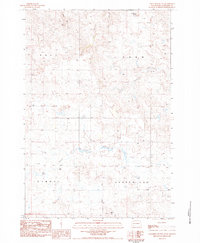
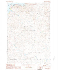
 1983 Faith1984 Print · USGSThe town of Faith and its surrounding prairie are documented in the early 1980s, right at the border of Meade and Perkins counties. Researchers can trace the legacy of regional transport and community life via the Old Railroad Grade, St Joseph Cem, and Rattlesnake Petes Pond.
 - 1983 Map of Cow Butte SE, 1984 Print
 1983 Cow Butte SE1984 Print · USGSPerkins County ranching country is documented here in the early eighties, showing the wide-open reaches of the Grand River National Grassland. Genealogists can locate rural landmarks like Zion Cem, Bethany Ch, and the Duck Creek Sch.
 - 1983 Map of Lodgepole SE, 1984 Print
 1983 Lodgepole SE1984 Print · USGSNorthwestern South Dakota's prairie landscape comes into focus in the early 1980s, centered on the Grand River National Grassland. Researchers can trace the settlement at Lodgepole and remote landmarks like Castle Butte and Lodgepole Creek.
 - 1983 Map of Haynes SE, 1984 Print
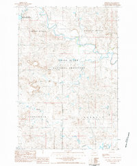
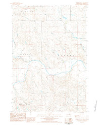
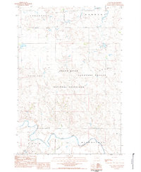
 1983 Haynes SE1984 Print · USGSPerkins County, South Dakota, is captured here in the early eighties as the river system meets the grassland. Researchers can trace the winding North Fork Grand River into the Shadehill Reservoir or locate specific points like the Gaging Sta and Spring.
 - 1983 Map of Boxcar Buttes, 1984 Print
 1983 Boxcar Buttes1984 Print · USGSPerkins County, South Dakota, is captured in the early eighties as a landscape of open range and vital water infrastructure. Researchers can trace land divisions along the Grassland Boundary and locate landmarks like the Boxcar Buttes and Butcher Creek.
 - 1983 Map of Lemmon Lake, 1984 Print
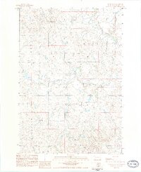
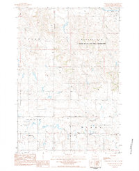
 1983 Lemmon Lake1984 Print · USGSThe Perkins County plains were transitioning toward modern conservation management in the early eighties. Researchers can trace the water network from Thunder Hawk Creek to the Grand River and locate the Lemmon Lake State Game Production Area.
 - 1983 Map of Prairie City NE, 1984 Print
 1983 Prairie City NE1984 Print · USGSThe South Dakota plains near the South Fork Grand River are captured here in the early eighties. Researchers can trace land use through local landmarks like White Hill, Sidney, and the winding path of Big Nasty Creek.
 - 1983 Map of Coal Springs, 1984 Print
 1983 Coal Springs1984 Print · USGSPerkins County in the early eighties is captured here as a landscape of remote ranches and expansive prairie drainages. Researchers can trace the legacy of rural flight and land use through landmarks like Coal Springs Dam, Nelson Airstrip, and the namesake Coal Springs settlement.
 - 1983 Map of Square Top Butte, 1984 Print
 1983 Square Top Butte1984 Print · USGSPerkins County, South Dakota, is captured here in the late 1970s as a managed prairie landscape. Genealogists and researchers can trace the drainages of Snake Creek and Thunder Butte Creek near landmarks like Square Top Butte.
 - 1983 Map of Bison, 1984 Print
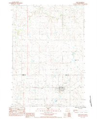
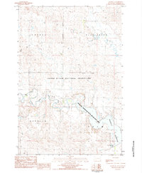
 1983 Bison1984 Print · USGSThe Perkins County seat of Bison is captured in the early 1980s, surrounded by the high plains of the Grand River National Grassland. Genealogists and local historians can locate the Bison Cemetery, the County Airport, and family-named landmarks like White Butte.
 - 1983 Map of Prairie City NW, 1984 Print
 1983 Prairie City NW1984 Print · USGSPerkins County's high plains meet the winding South Fork Grand River in the early 1980s. Researchers can locate family landmarks like the South Grand River Cem and trace the paths of Big Nasty Creek and White Hill.
 - 1983 Map of Sorum NE, 1984 Print
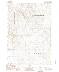
 1983 Sorum NE1984 Print · USGSPerkins County in the early eighties shows an open landscape of plateaus and prairie draws. Researchers can locate remote landmarks like Chimney Butte, the Cem, and rural aviation sites such as Quaal Landing Strip.
 - 1983 Map of Bison NE, 1984 Print
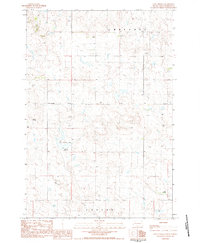
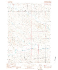
 1983 Bison NE1984 Print · USGSPerkins County in the early eighties shows a transition from prairie grassland to the waters of Shadehill Reservoir. You can trace family history at the Rosebud Ch Cem, locate the old Townhall, and see the South Fork Grand River floodplain.
 - 1983 Map of Sorum, 1984 Print
 1983 Sorum1984 Print · USGSPerkins County ranching country is captured here in the early 1980s, centered on the small settlement of Sorum. Genealogists and local historians can trace family-named landmarks like the Meyer Landing Strip or follow the drainage of Rabbit Creek to the Sorum Dam.
 - 1983 Map of Sunrise Butte, 1984 Print
 1983 Sunrise Butte1984 Print · USGSPerkins County ranchland is shown here in the early 1980s, characterized by its wide creek valleys and isolated homesteads. Researchers can trace the winding course of Rabbit Creek or locate local landmarks like Sunrise Butte and the settlement at Wicks.
 - 1983 Map of Meadow NW, 1984 Print
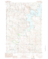
 1983 Meadow NW1984 Print · USGSPerkins County, South Dakota, is captured here in the early eighties as a landscape of vast public lands and water recreation. Researchers can trace land management boundaries and find specific sites like the Hugh Glass Campground and a local Townhall.
 - 1983 Map of Cole Dam, 1984 Print
 1983 Cole Dam1984 Print · USGSPerkins County, South Dakota, is captured here in the early eighties, showcasing a landscape of protected prairies and river valleys. Researchers can locate remote landmarks like the Pleasant Valley Cem, the Townhall, and water features including Cole Dam.
 - 1983 Map of Meadow, 1984 Print
 1983 Meadow1984 Print · USGSMeadow and the surrounding plains of Perkins County were captured in the early eighties as a landscape of remote farmsteads and township grids. Genealogists and local historians can locate the Meadow Gallaway Cem and trace the original rural layout near Meadow Corner and the local PO.
 - 1983 Map of Coal Springs SW, 1984 Print
 1983 Coal Springs SW1984 Print · USGSPerkins County in the early eighties was a landscape of prominent buttes and sprawling townships. Researchers can trace the drainage of Thunder Butte Creek or locate landmarks like Duncan Butte and the uniquely named Wedge-tent Butte.
 - 1983 Map of Coal Springs SE, 1984 Print
 1983 Coal Springs SE1984 Print · USGSPerkins County in the early eighties was a wide-open landscape of prairie draws and high buttes. Genealogists and land researchers can trace the natural drainage of Thunder Butte Creek and landmarks like Thunder Butte and Section Draw.
Showing maps 1-25 of 47
Top cities of Perkins County
- Lemmon historical maps
- Bison historical maps
- Strool historical maps
- Lodgepole historical maps
- Chance historical maps
- Meadow historical maps
See more
Frequently asked questions
- What are the different types of historical maps available for Perkins County?
- What is the oldest map of Perkins County?
- Where can I purchase historical maps of Perkins County for my home or office?
- Where can I download high-res historical maps of Perkins County?
- Are there historical topographic maps available for Perkins County?
- Is there historical aerial imagery available for Perkins County?
- Where are historical maps of Perkins County sourced from?